Peoples
- KUMANAGOTO
Citation
Prenelete;Bartolomé. Mapa de la costa correspondiente a la gobernación de Cumaná. Map. Santo Domingo;1661. Accessed August 19;2022. http://pares.mcu.es/ParesBusquedas20/catalogo/description/25948.
Chili
Map 1625
SKETCH MAP OF BRITISH GUIANA
Map 1835 - 1839
Pueblos Indígenas;Áreas Protegidas de Nicaragua
Map 2000
Detail from the 1770 copy of Francisco Álvarez Barreiro’s 1728 map of northern New Spain illustrating Spanish mapping of Indian domains in southern Texas and along the Gulf Coast, especially through the repetition of labels: “tierra de los Pampopas,” “tierra de los Carrizos,” “tierra de los Cujanes,” etc.
Map 1728
LOS GRUPOS LOCALES AYOREO DENTRO DE SU TERRITORIO
Map 1490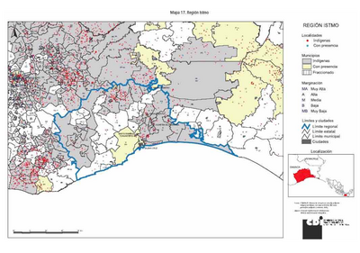
REGIÓN ISTMO
Map 2000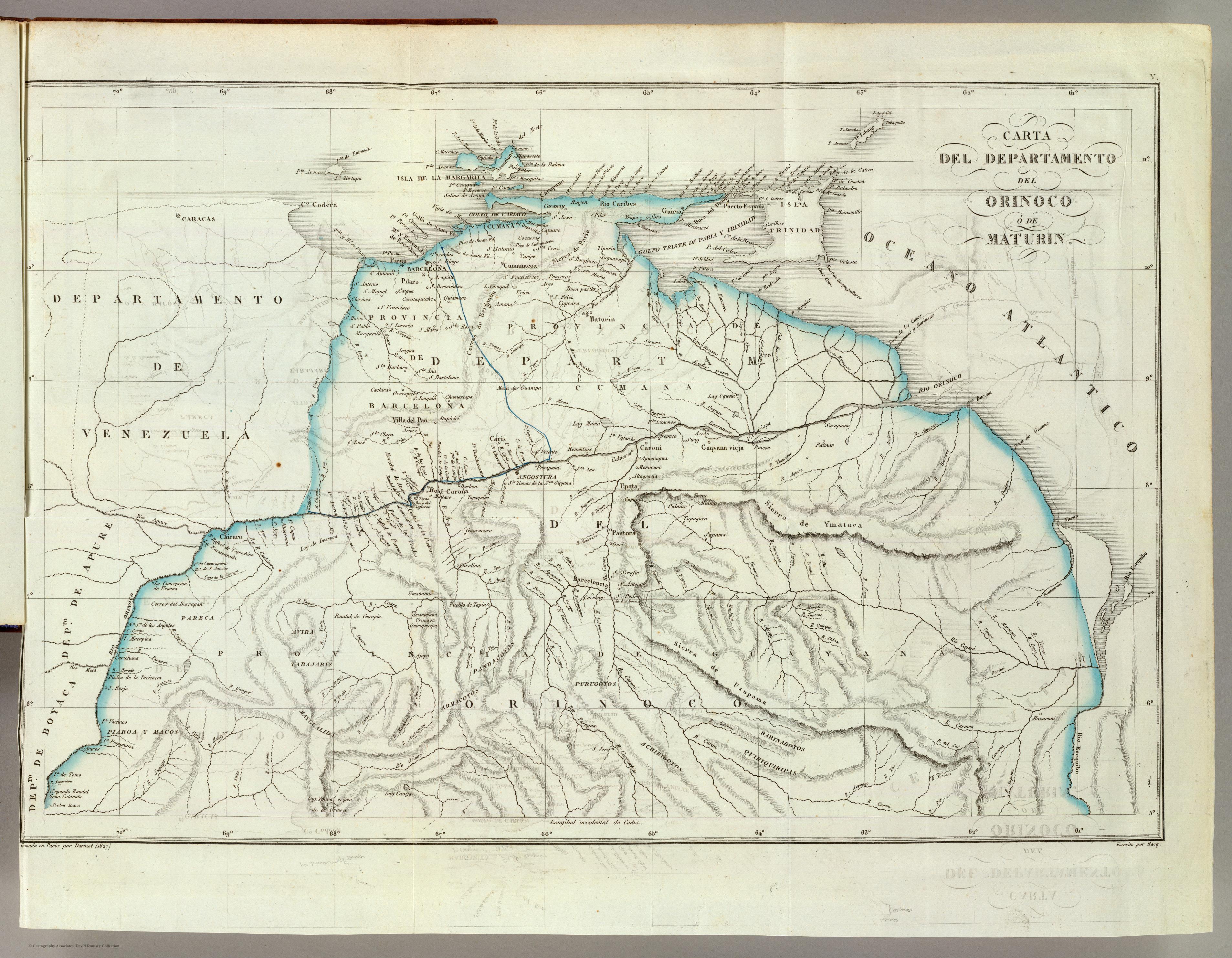
CARTA DEL DEPARTAMENTO DEL ORINOCO O DE MATURIN
Map 1827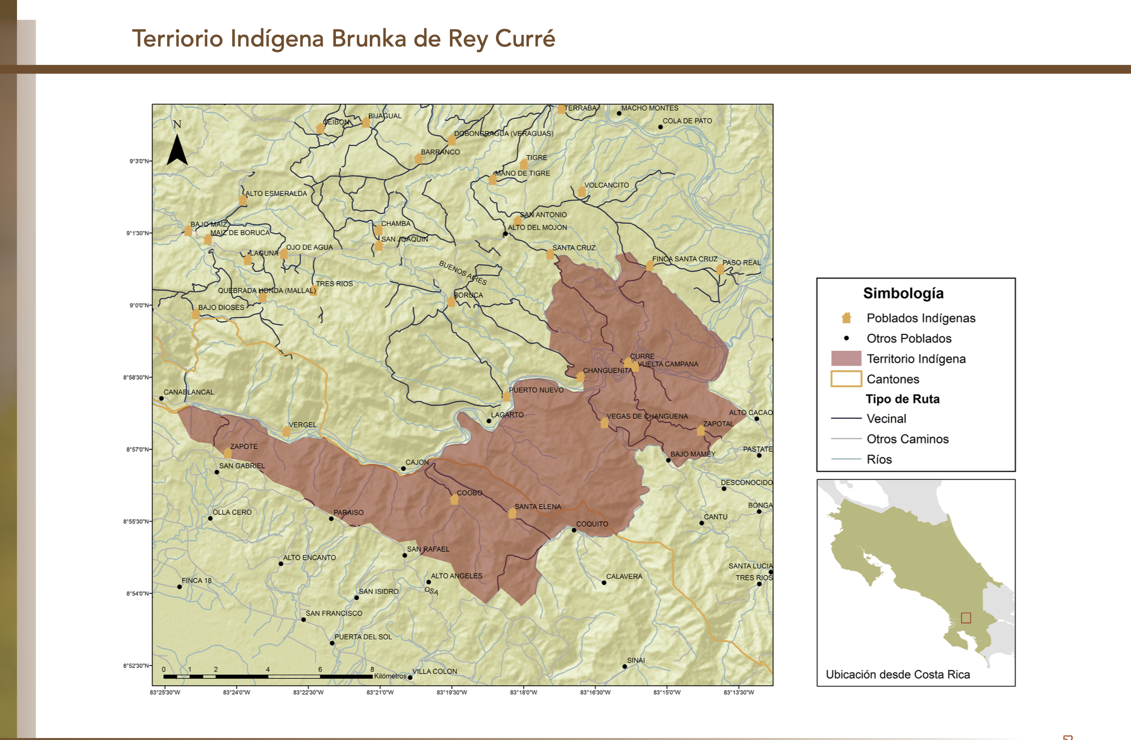
"Territorio Indígena Brunka de Rey Curré"
Map 2010