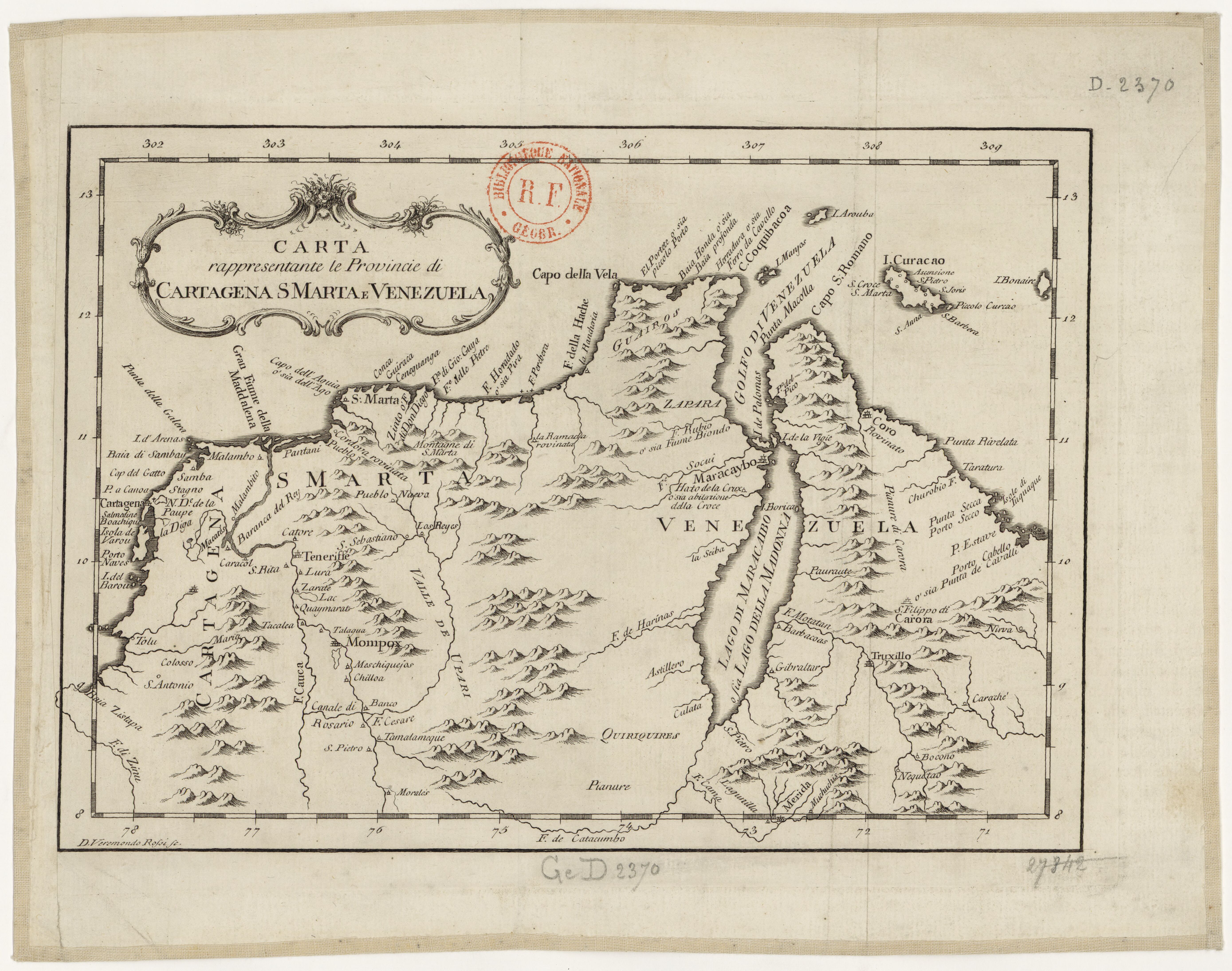
Peoples
- WAYUU
- ZAPARA
- QUIRIQUIRES
Citation
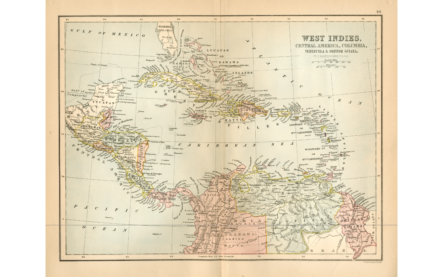
Cotellini;Marco;and Jacques-Nicolas Bellin. Carta rappresentante le Provincie di Cartagena;S Marta e Venezuela. Map. Livorno;Italy;1763. Accessed February 27;2022. http://catalogoenlinea.bibliotecanacional.gov.co/custom/web/content/mapoteca/fmapoteca_138_fnavas_30/fmapoteca_138_fnavas_30.htm.