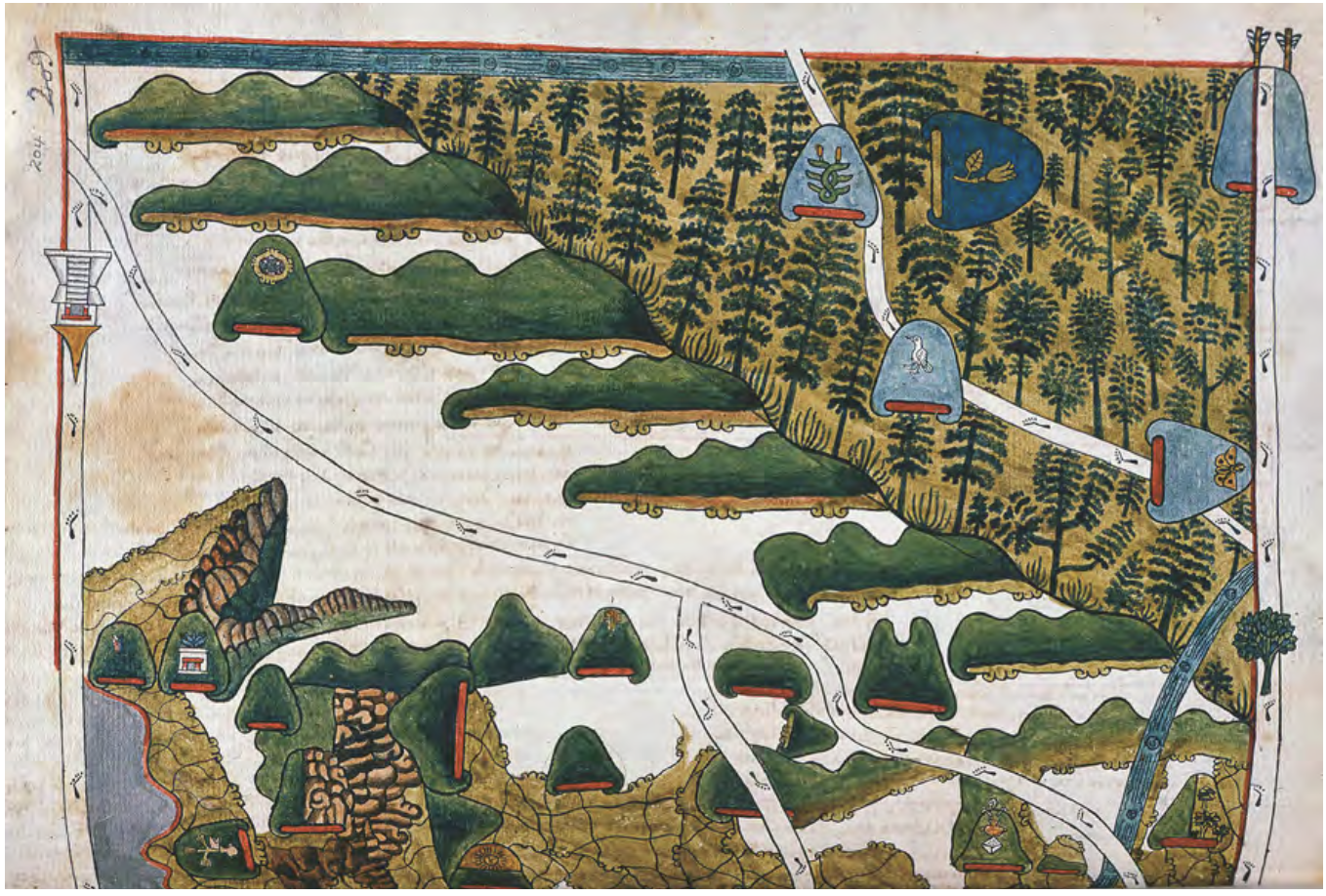
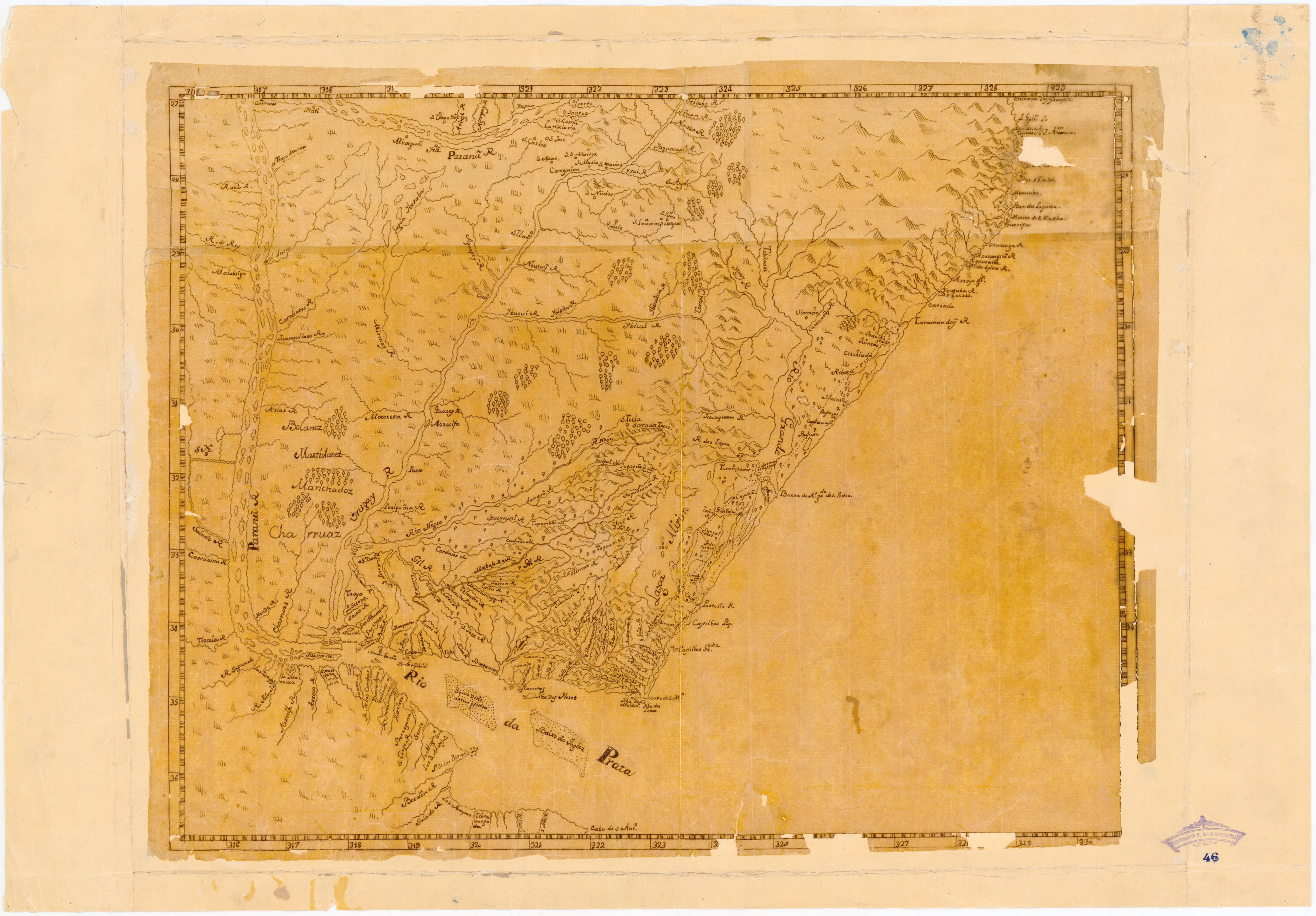
Dispossesions in the Americas

Dispossesions in the Americas

  • Home
  • Explore
  • About
  • Authors
  • Art
  • Bodies
  • Curricula
  • Cultural Heritage
  • Maps
  • Territories
Back to Explore
Map 1750

Mapa que muestra la zona al este y al sur del río Paraná, desde los 27°00' S. a 37°00' S. y Uruguay

    Published: 1750

    • Download Image

    Peoples

    • CHARRUAS
    • MANCHADOZ
    • MARTIDANEZ
    • BOLANEZ

    Citation

    "Mapa que muestra la zona al este y al sur del río Paraná, desde los 27°00' S. a 37°00' S. y Uruguay." Map. 1750. Accessed December 29, 2022. https://bibliotecavirtual.defensa.gob.es/BVMDefensa/i18n/consulta/registro.do?control=BMDB20200034230.

    • Download Image

    Reading in Spanish

    Map 1750

    Mapa que muestra la zona al este y al sur del río Paraná, desde los 27°00' S. a 37°00' S. y Uruguay

      Published: 1750

      • Download Image
      • Download Image

      Related Content

      PROVINCIA DE SAO PAULO

      PROVINCIA DE SAO PAULO

      Map 1800 - 1850
      Viceroyalty of La Plata

      Viceroyalty of La Plata

      Map 1812
      Mexico at the Time of the Conquest

      Mexico at the Time of the Conquest

      Map 1519
      MAPA ÉTNICO DEL RÍO DE LA PLATA

      MAPA ÉTNICO DEL RÍO DE LA PLATA

      Map 1500 - 1900
      Distribución aproximada de los idiomas indígenas de Guatemala, en torno al año 1700

      Distribución aproximada de los idiomas indígenas de Guatemala, en torno al año 1700

      Map 1700
      TERRITORIOS ANCESTRALES DE LOS CUATRO PUEBLOS INDIGENAS DE LA SSNM (MAPA APROXIMATIVO DE REFERENCIA)

      TERRITORIOS ANCESTRALES DE LOS CUATRO PUEBLOS INDIGENAS DE LA SSNM (MAPA APROXIMATIVO DE REFERENCIA)

      Map 2009
      Proyecto “Ranti-Ranti Acuerdo de Trueque” ["Ranti-Ranti Barter Agreement" Project]

      Proyecto “Ranti-Ranti Acuerdo de Trueque” ["Ranti-Ranti Barter Agreement" Project]

      Artwork
      PUEBLO TEPEHUA

      PUEBLO TEPEHUA

      Map 2020

      Dispossessions in the Americas

      A project by

      University of Pennsylvania

      Copyright 2024

      With support from

      Mellon Foundation

      Site design & development

      Element 84

      Art Credits

      “Mapa que muestra la zona al este y al sur del río Paraná, desde los 27°00’ S. a 37°00’ S. y Uruguay.” Map. 1750. Accessed December 29, 2022. https://bibliotecavirtual.defensa.gob.es/BVMDefensa/i18n/consulta/registro.do?control=BMDB20200034230.

      Site Pages

      • Home
      • Explore
      • About
      • Authors
      • Art
      • Bodies
      • Curricula
      • Cultural Heritage
      • Maps
      • Territories