Peoples
- CHARRUAS
- MANCHADOS
- MARTIDANES
- BOHANES
- MOCORETAS
- ABIPONES
- MBEGUAS
Citation
"[Carte manuscrite de l'embouchure de Rio da Prata]." Map. 1740. Accessed May 28, 2024. https://www.europeana.eu/es/item/9200517/ark__12148_btv1b8596666g
PUEBLO KAPANAWA
Map 2021
Mapa del Ceno (sic) de Honduras, Establecimientos de Ingleses, havitaciones de Indios Caribes en la Costa de Valis, navegacion de esta para Navios y Balandras con sus principales fondeaderos, abrigos, aguadas y escollos, estendida de orden de el Muy Ylustre Señor D. Martín de Mayorga, Presidente Gobernador y Capitan Gral. de este Reyno de Guatemala.
Map 1776
Mapa de Zonas de Influencia Cultural
Map 1720 - 1821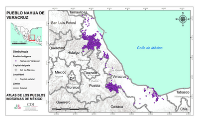
PUEBLO NAHUA DE VERACRUZ
Map 2020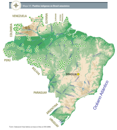
Pueblos indígenas en Brasil amazónico
Map 2009![No nos culpes por lo que pasó [Do not blame us fow what happened]](https://dnet8ble6lm7w.cloudfront.net/art_sm/AECU010.png)
No nos culpes por lo que pasó [Do not blame us fow what happened]
Artwork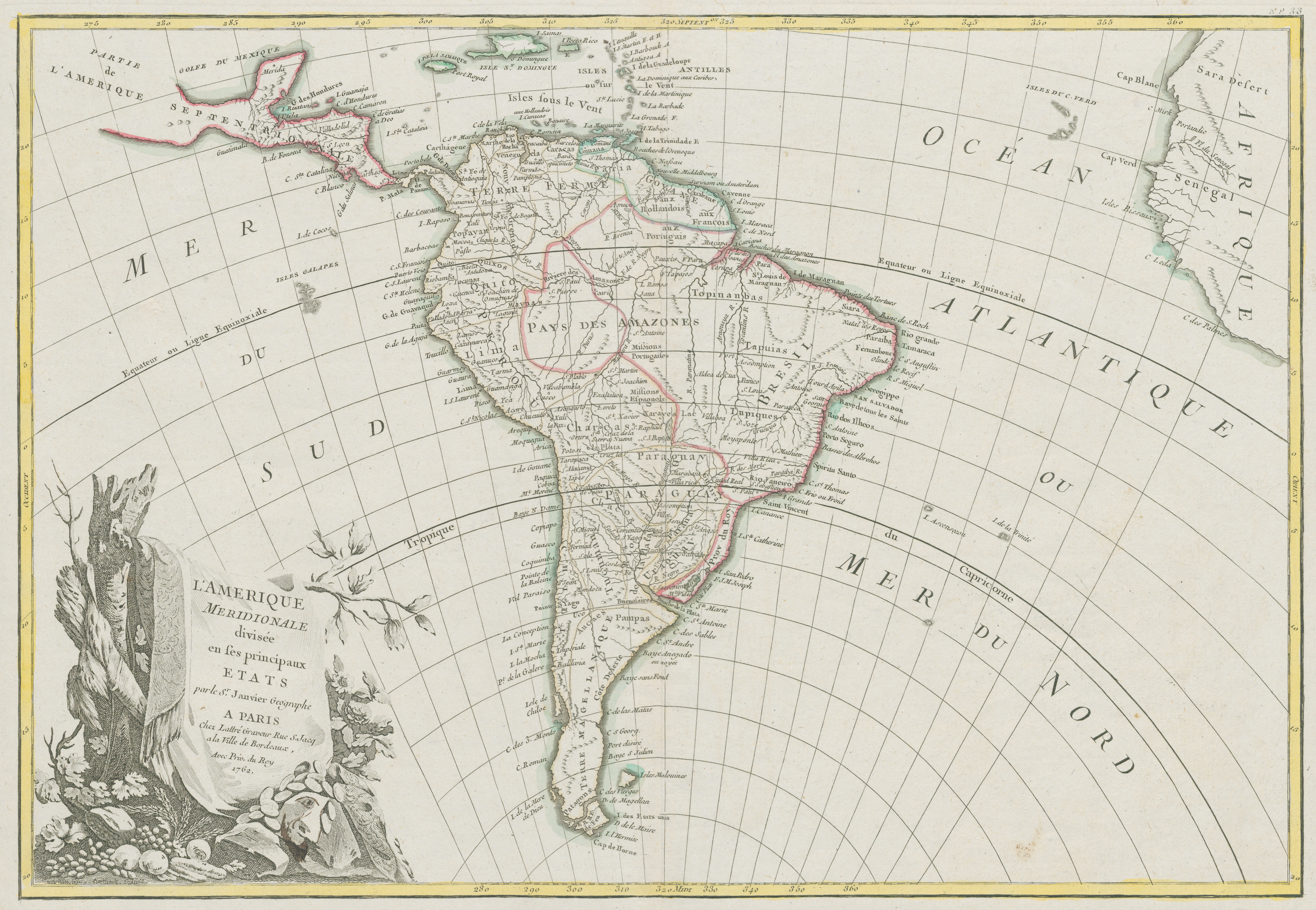
L'Amerique Meridionale divisée en ses principaux Etats
Map 1700 - 1800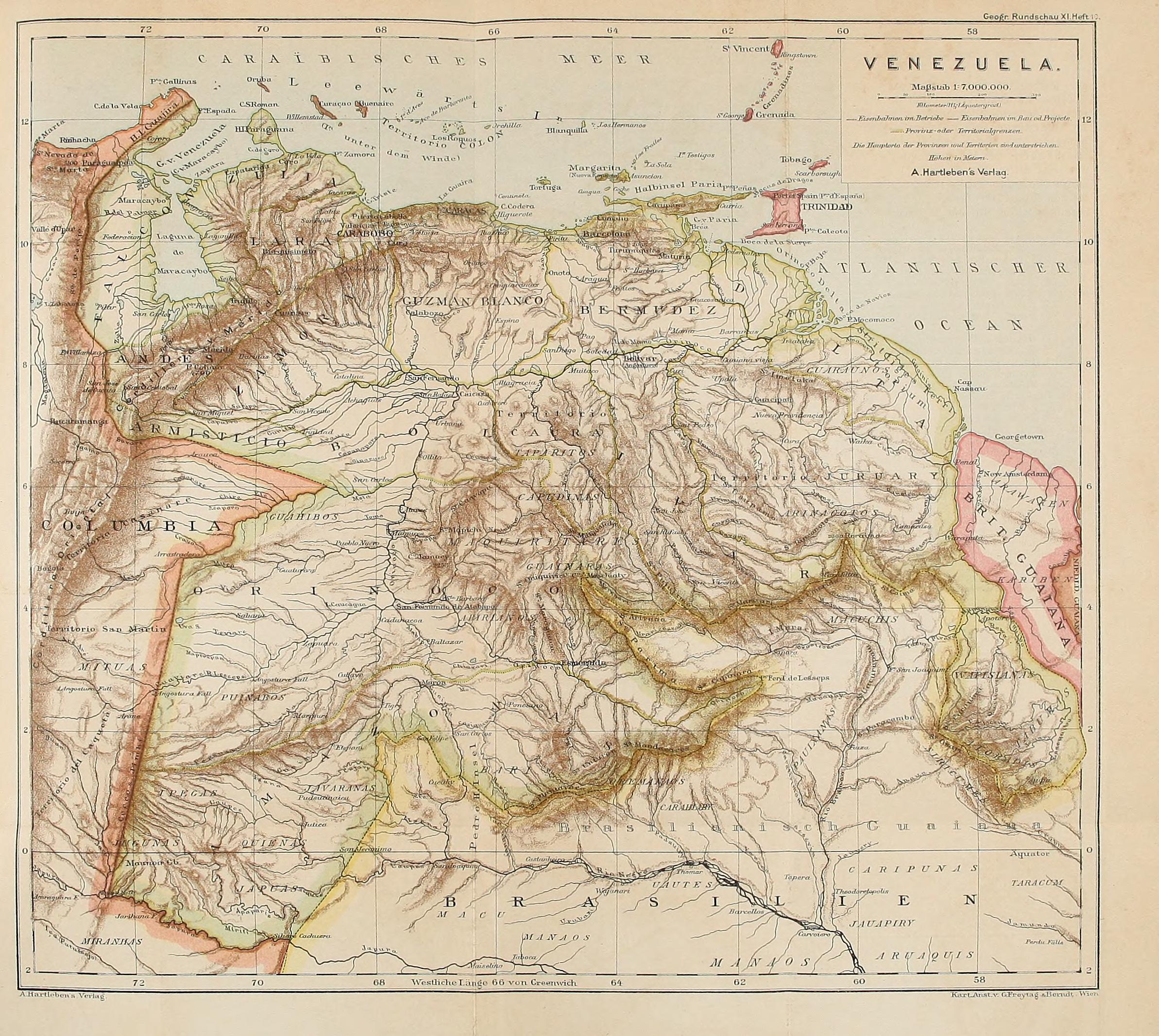
VENEZUELA
Map 1878