Peoples
- CORTE DEL YNGA
Citation
Poma de Ayala, F. G. (Cartographer). (1615). LA GRAN CIVDAD [Map]. Det Kgl. Bibliotek. https://poma.kb.dk/permalink/2006/poma/1059/en/text/?open=idm656&imagesize=XL
Coste de Guiane depuis le cap de nord jusqu'à Cayenne, par François Duvillard, sergent, traiteur, voyageur, en la susdite cote de Guiane.
Map 1727
TERRE-FERME, PEROU, BRESIL, PAYS DE L'AMAZONE
Map 1806
ALDEIAS OMAGUAS/KAMBEBA
Map 2020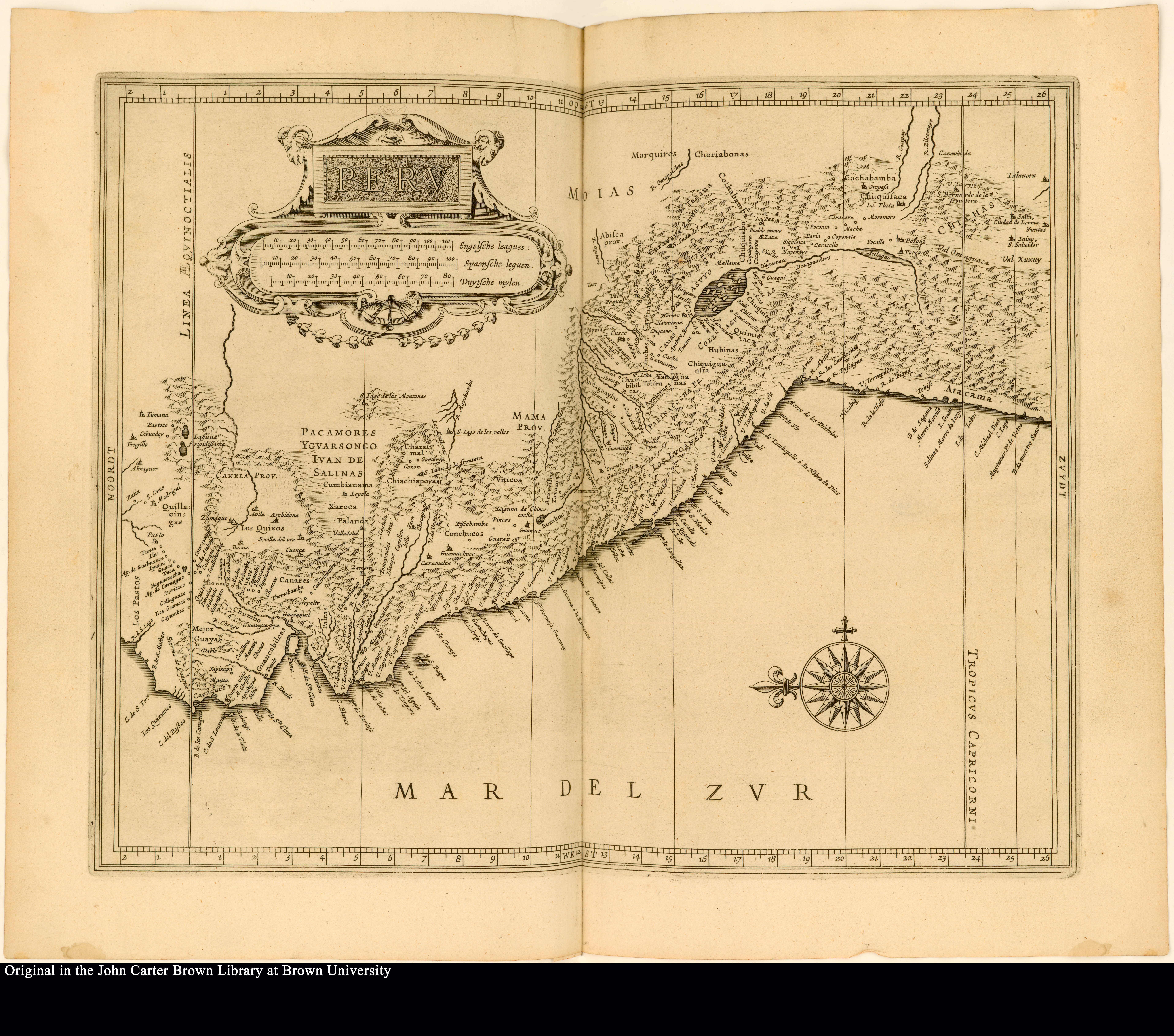
Peru
Map 1625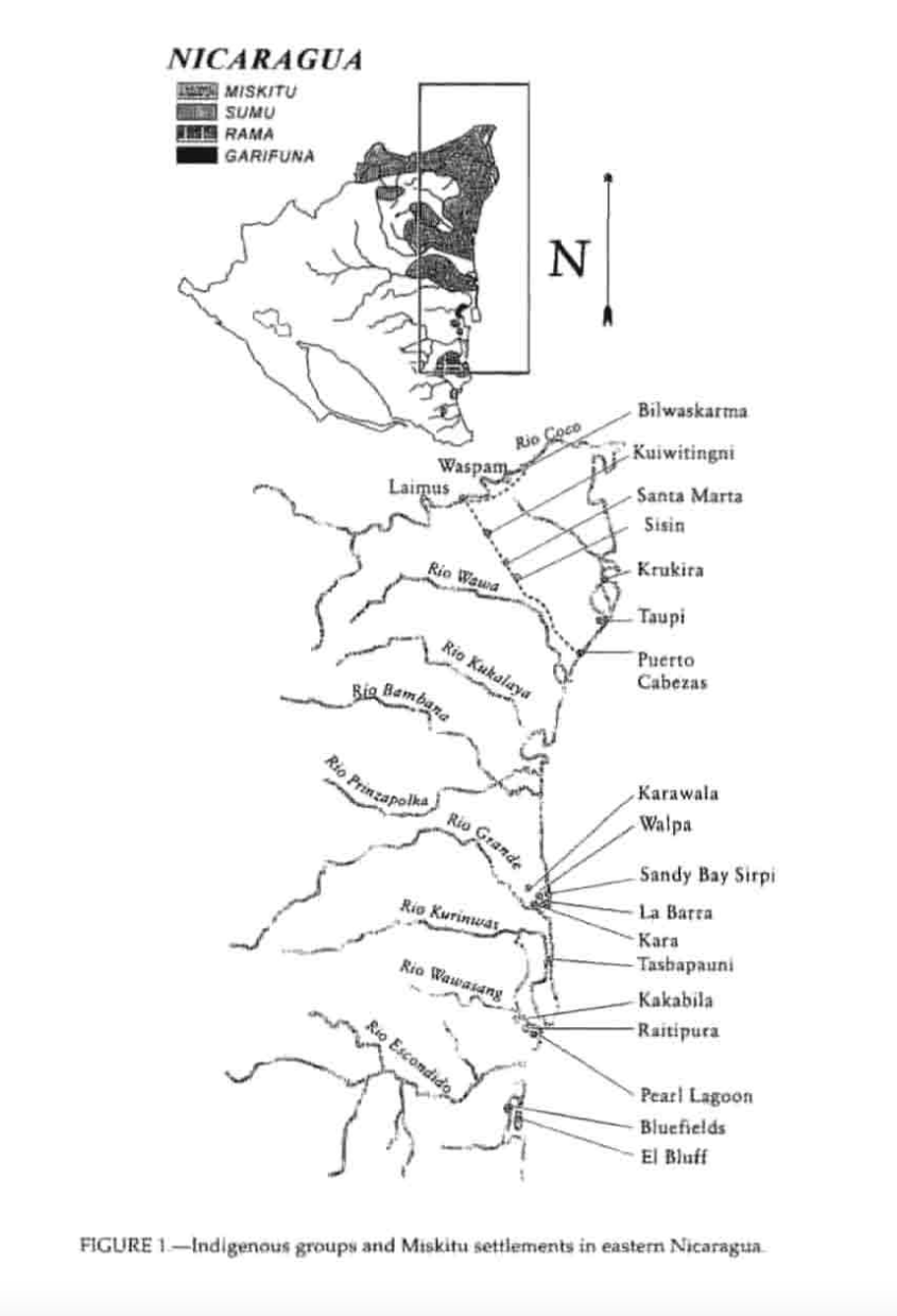
Indigenous groups and Miskitu settlements in eastern Nicaragua.
Map 1990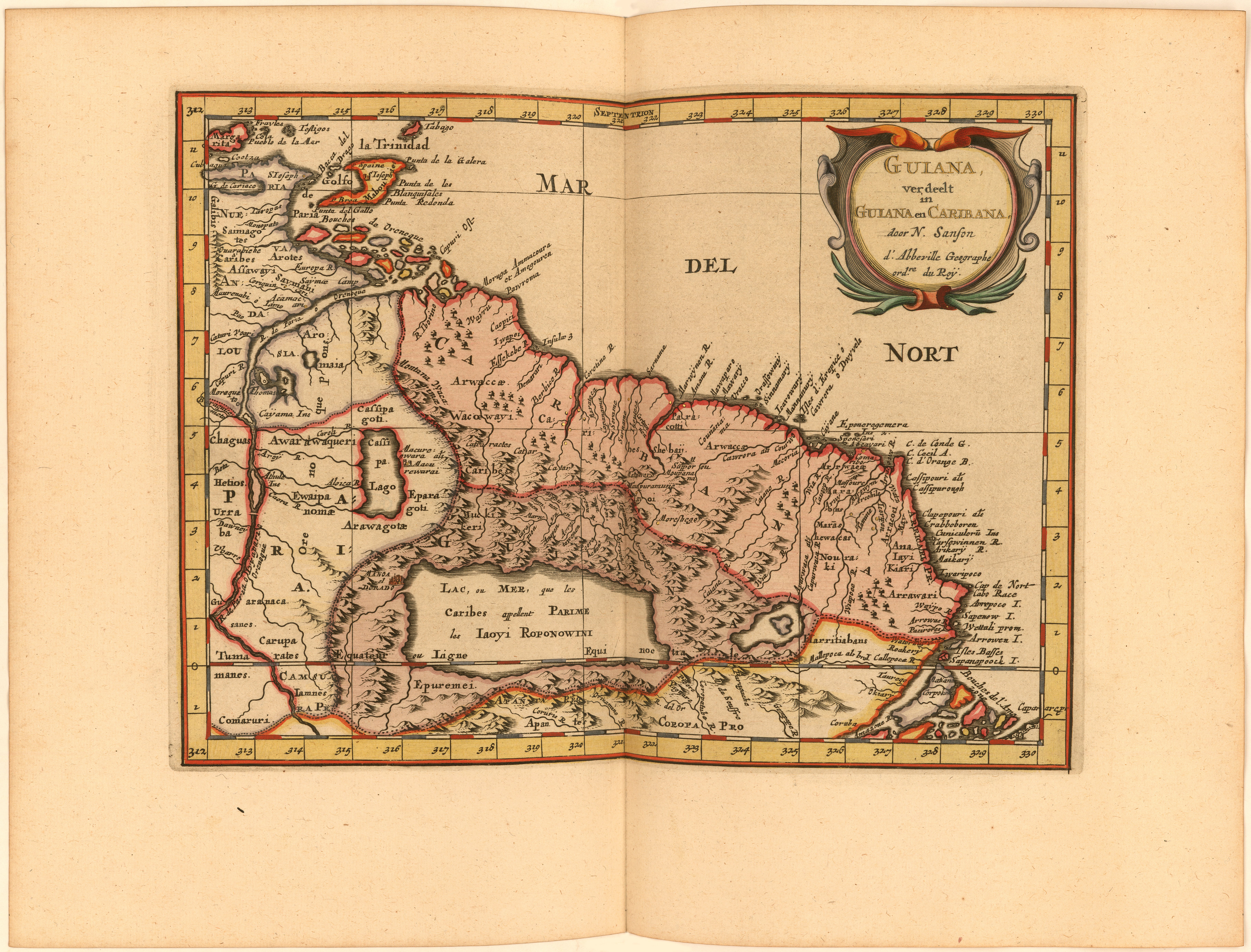
Guiana verdeelt in Guiana en Caribana. door N. Sanson d.'Abbeville, Geogr ordre. du Roÿ
Map 1600 - 1699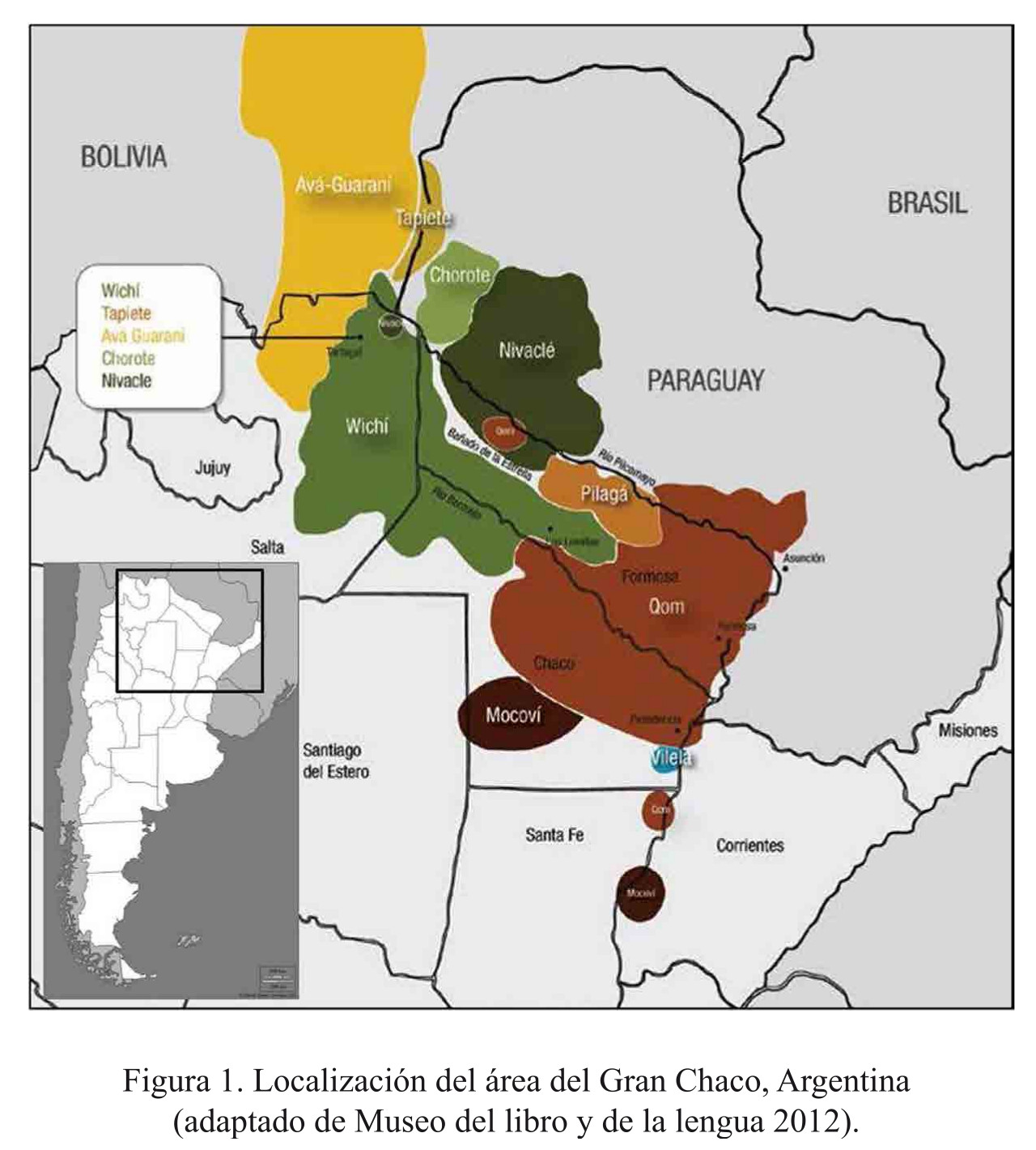
Localización del área del Gran Chaco, Argentina
Map 2016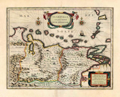
Venezuela;cum parte Australi Novae Andalusiae
Map 1630