Peoples
- QUECHUA
- AYMARA
Citation
Article Marsh, E., Kidd, R., Ogburn, D., & Durán, V. (2017). Dating the Expansion of the Inca Empire: Bayesian Models from Ecuador and Argentina. Radiocarbon, 59(1), 1-24. https://doi.org/10.1017/RDC.2016.118
Caerte van de rivier Demerary van ouds Immenary gelegen op Suyd Americaes noordkust op de noorder breedte van 6 gr: 40 min: 1759
Map 1759![Zona de Silencio [The Silence Zone]](https://dnet8ble6lm7w.cloudfront.net/art_sm/AMEX015.png)
Zona de Silencio [The Silence Zone]
Artwork
MAP 8: SELECTED INDIGENOUS IDENTITY GROUPS IN ECUADOR;INCLUDING PUEBLOS
Map 2009
Territorio ancestral y territorio agrario 2015
Map 2015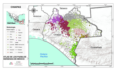
CHIAPAS
Map 2015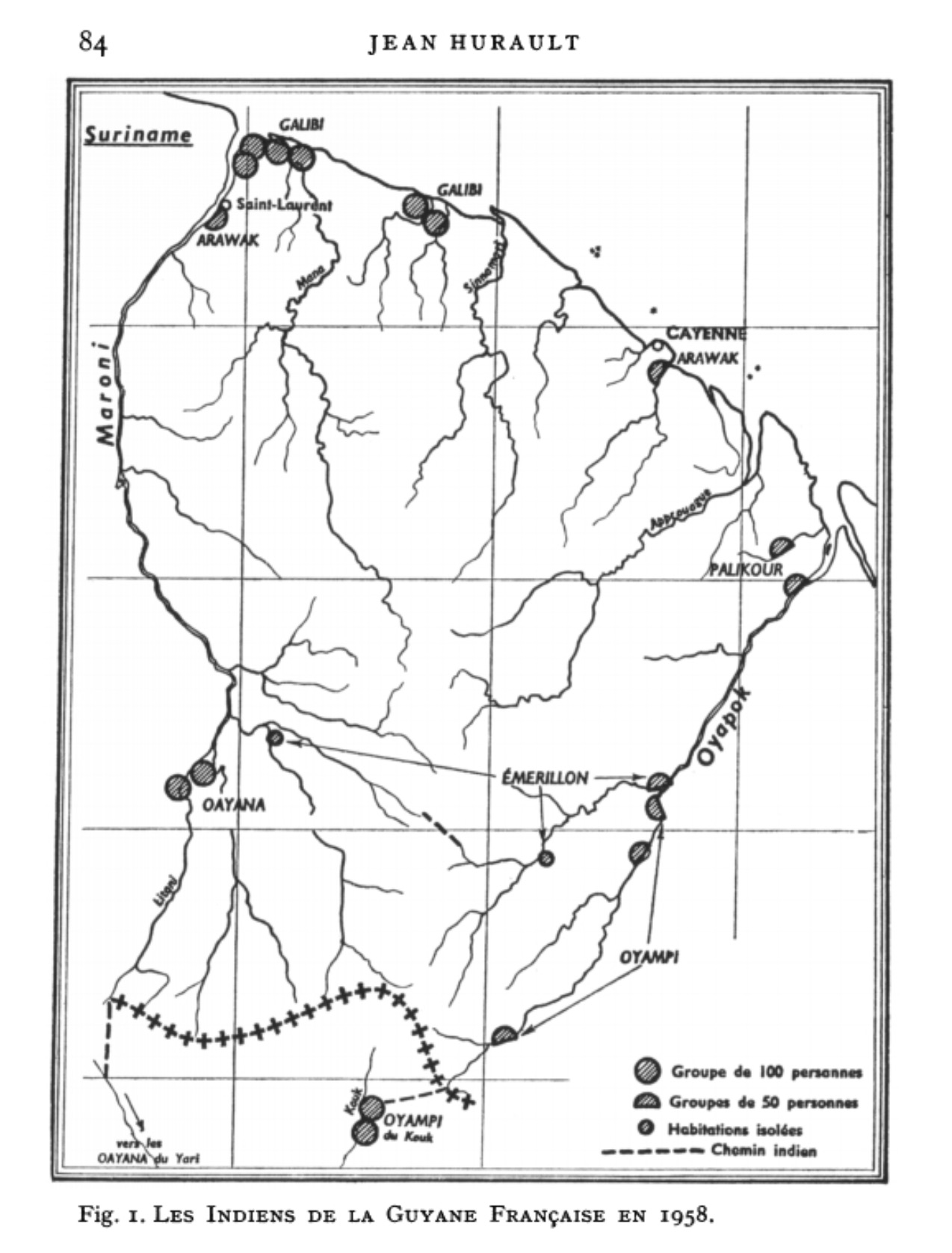
Fig. 1. Les Indiens de la Guyane Française en 1958
Map 1958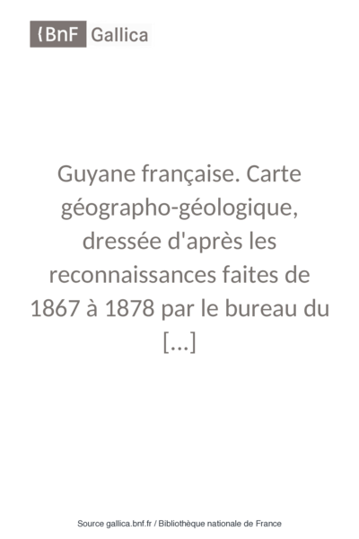
Guyane française. Carte géographo-géologique, dressée d'après les reconnaissances faites de 1867 à 1878 par le bureau du cadastre de Cayenne.
Map 1867 - 1878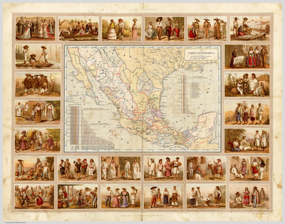
CARTA ETNOGRÁFICA
Map 1885