Dispossesions in the Americas

Dispossesions in the Americas

  • Home
  • Explore
  • About
  • Authors
  • Art
  • Bodies
  • Curricula
  • Cultural Heritage
  • Maps
  • Territories
Back to Explore
Map 1700 - 1799

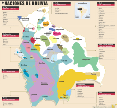
Plano del Puerto de Quilqua

  • UNKNOWN

Published: 1700-1799

  • Download Image

Peoples

  • PUEBLOS DE NATURALES

Citation

Plano del Puerto de Quilqua. Archivo del Museo Naval de Madrid — Colección: PMNM — Ubicación: DE — Signatura: MN- 35-B-4 — Código de barras: 2301505 https://bibliotecavirtual.defensa.gob.es/BVMDefensa/es/consulta/registro.do?id=36728

  • Download Image

Reading in Spanish

Map 1700 - 1799

Plano del Puerto de Quilqua

  • UNKNOWN

Published: 1700-1799

  • Download Image
  • Download Image

Related Content

Terra Indígena Rio Branco (do Itanhaém)

Terra Indígena Rio Branco (do Itanhaém)

Map 2011
Carte anglaise des côtes du Brésil

Carte anglaise des côtes du Brésil

Map 1700 - 1799
Distribution of Tarascan Speech by Settlements, 1940

Distribution of Tarascan Speech by Settlements, 1940

Map 1940
PUEBLO PA IPAI

PUEBLO PA IPAI

Map 2020
Gente del Occidente de México II [People of Western Mexico II]

Gente del Occidente de México II [People of Western Mexico II]

Artwork
PUEBLO GUARIJIO

PUEBLO GUARIJIO

Map 2020
ZACATECAS

ZACATECAS

Map 2015
CARTE DE LA CONFÉDÉRATION ARGENTINE

CARTE DE LA CONFÉDÉRATION ARGENTINE

Map 1873

Dispossessions in the Americas

A project by

University of Pennsylvania

Copyright 2024

With support from

Mellon Foundation

Site design & development

Element 84

Art Credits

Plano del Puerto de Quilqua. Archivo del Museo Naval de Madrid — Colección: PMNM — Ubicación: DE — Signatura: MN- 35-B-4 — Código de barras: 2301505 https://bibliotecavirtual.defensa.gob.es/BVMDefensa/es/consulta/registro.do?id=36728
Site Pages

  • Home
  • Explore
  • About
  • Authors
  • Art
  • Bodies
  • Curricula
  • Cultural Heritage
  • Maps
  • Territories