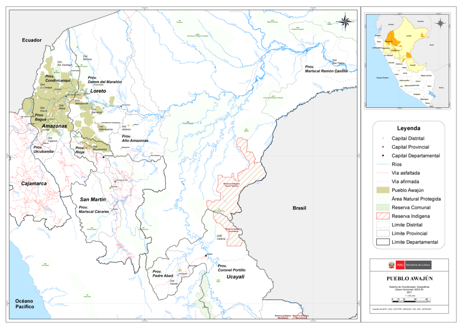
Peoples
- AWAJUN
Citation
Ministerio de Cultura Perú. (2020). Lista de pueblos indígenas u originarios. BDPI: Base de Datos de Pueblos Indígenas u Originarios. https://bdpi.cultura.gob.pe/pueblos-indigenas
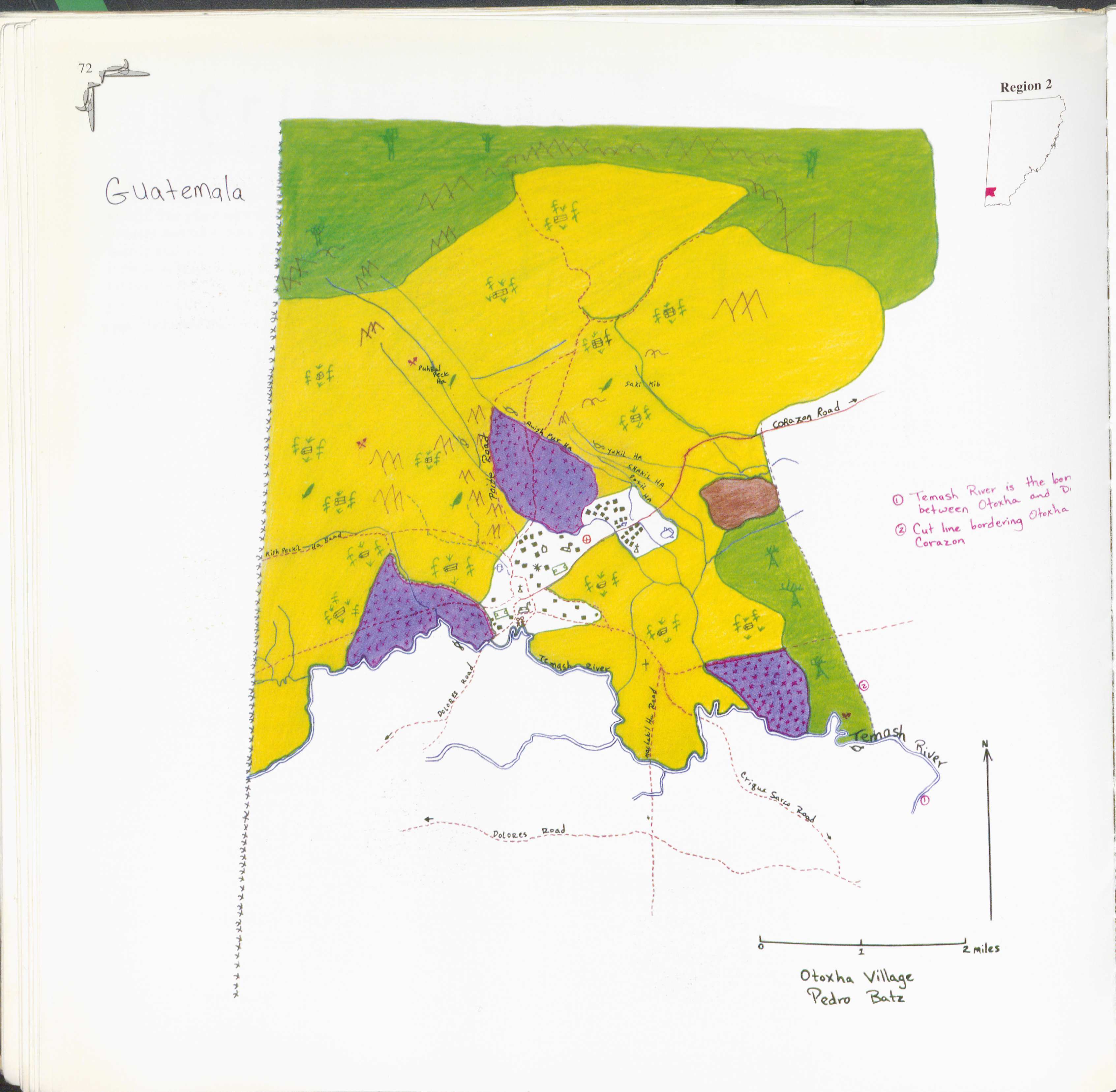
Otoxha
Map 1997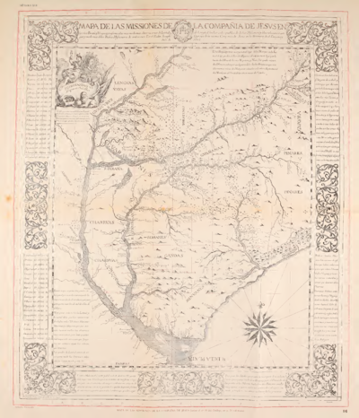
MAPA DE LAS MISSIONES DE LA COMPANIA DE JESVS EN
Map 1749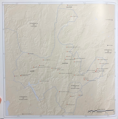
INTENDENCIA DE NAYARIT-COYOTLÁN
Map 1800
Location of three ethno-linguistic groups in the highlands of Guatemala in which joint InHerit-Riecken community-participant mapping took place. Adapted from http://d-maps. com/carte.php?num_car=1717&lang=en)
Map 2000
How Rivers Think
Artwork
Map of Coatlinchan (Valley of Mexico), 1584, Archivo General de la Nación no. 566
Map 1584
An exact draught of the Gulf of Darien & the coast to Porto Bello with Panama in the South sea & the Scotch settlement in Calledonia
Map 1700 - 1799
"Transversalidad Histórica entre las Tierras Indidas de 1940 y los Pueblos Indígenas de Costa Rica en la actualidad"
Map 1940 - 2014