
Peoples
- AIMARA
Citation
Ministerio de Cultura Perú. (2020). Lista de pueblos indígenas u originarios. BDPI: Base de Datos de Pueblos Indígenas u Originarios. https://bdpi.cultura.gob.pe/pueblos-indigenas
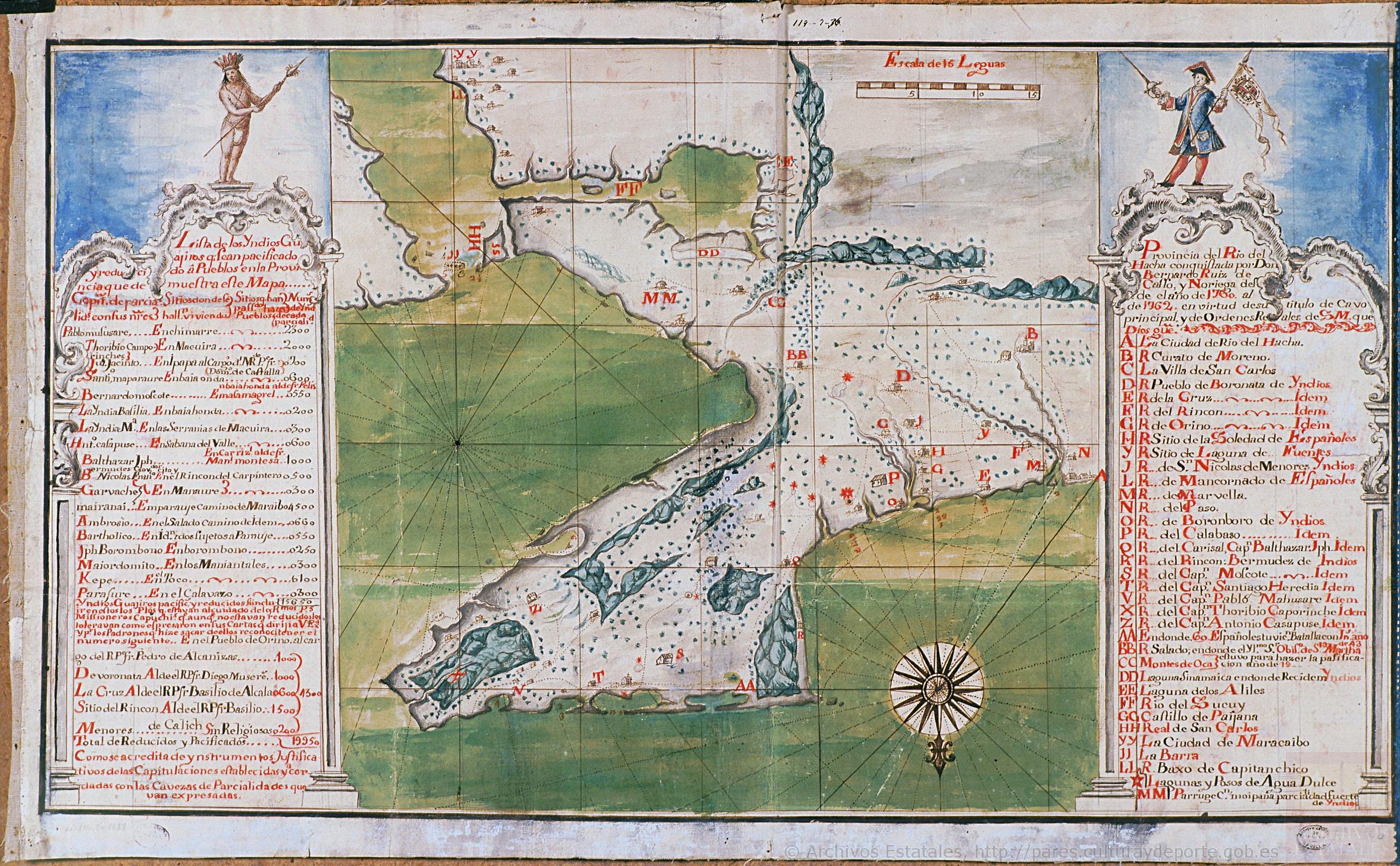
Mapa de la Peninsula Goagira
Map 1762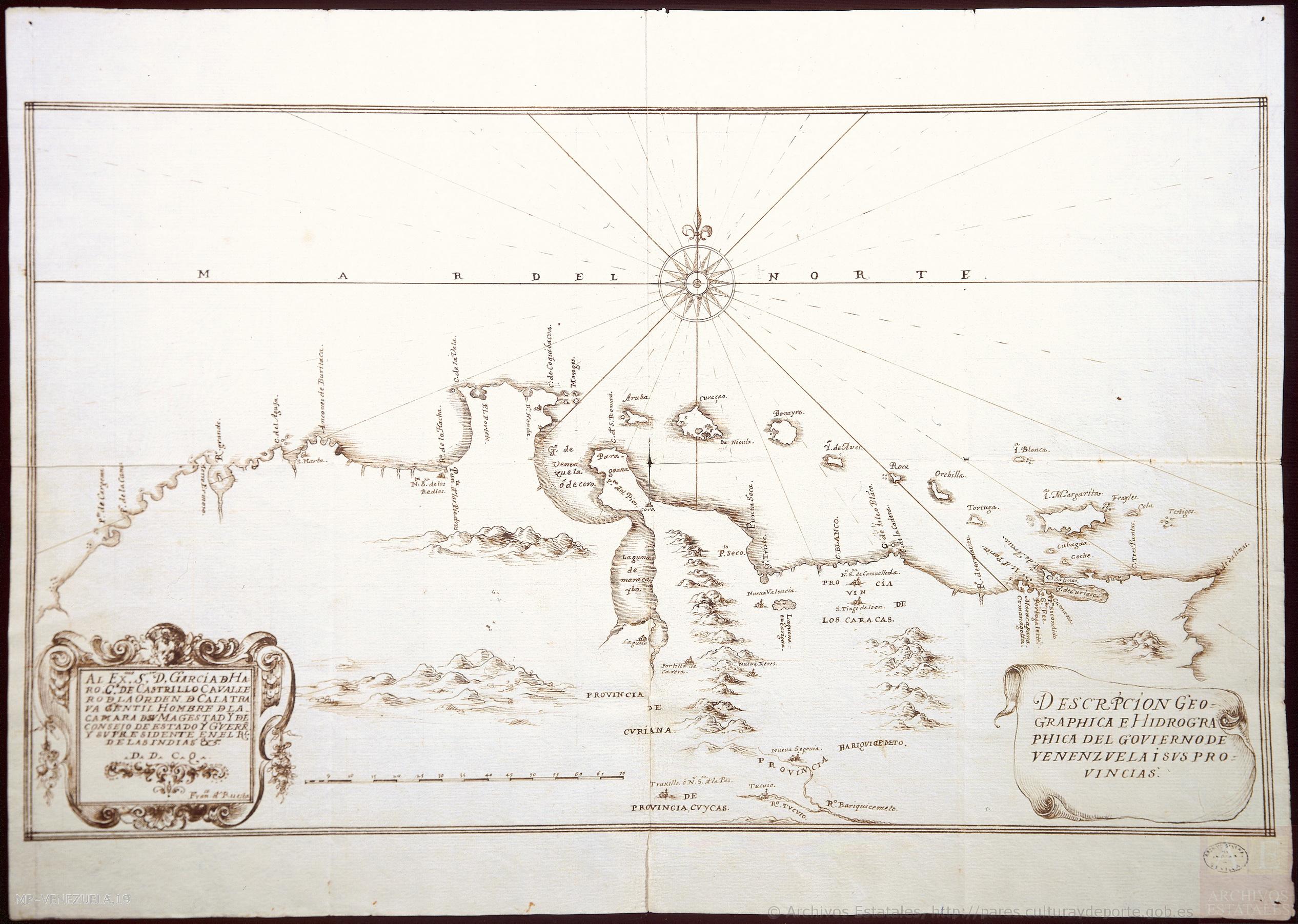
DESCRIPCIÓN GEOGRAPHICA E HIDORGRÁPHICA DEL GOVIERNO DE VENEZUELA I SUS PROVINCIAS
Map 1634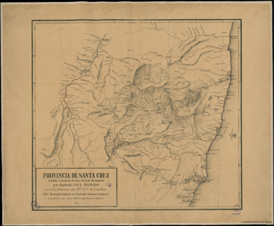
PROVINCIA DE SANTA CRUZ
Map 1873
Detail from the 1770 copy of Francisco Álvarez Barreiro’s 1728 map of northern New Spain illustrating Spanish mapping of Indian domains in southern Texas and along the Gulf Coast, especially through the repetition of labels: “tierra de los Pampopas,” “tierra de los Carrizos,” “tierra de los Cujanes,” etc.
Map 1728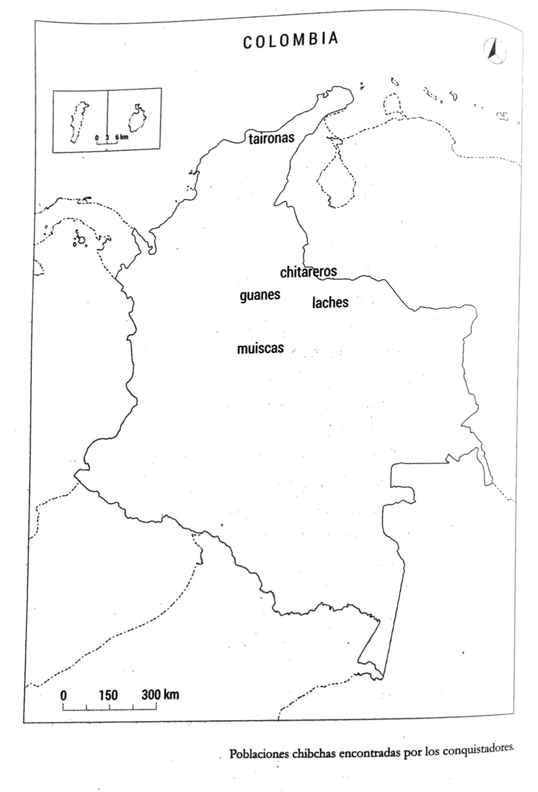
PUEBLOS CHIBCHAS ENCONTRADOS POR CONQUISTADORES
Map 1399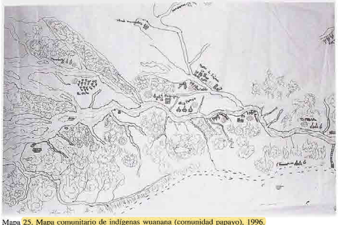
MAPA COMUNITARIA DE INDIGENAS WUANANA
Map 1996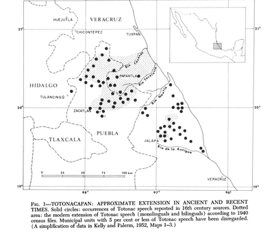
Totocanapan: Approximate Extension in Ancient and Recent Times
Map 1940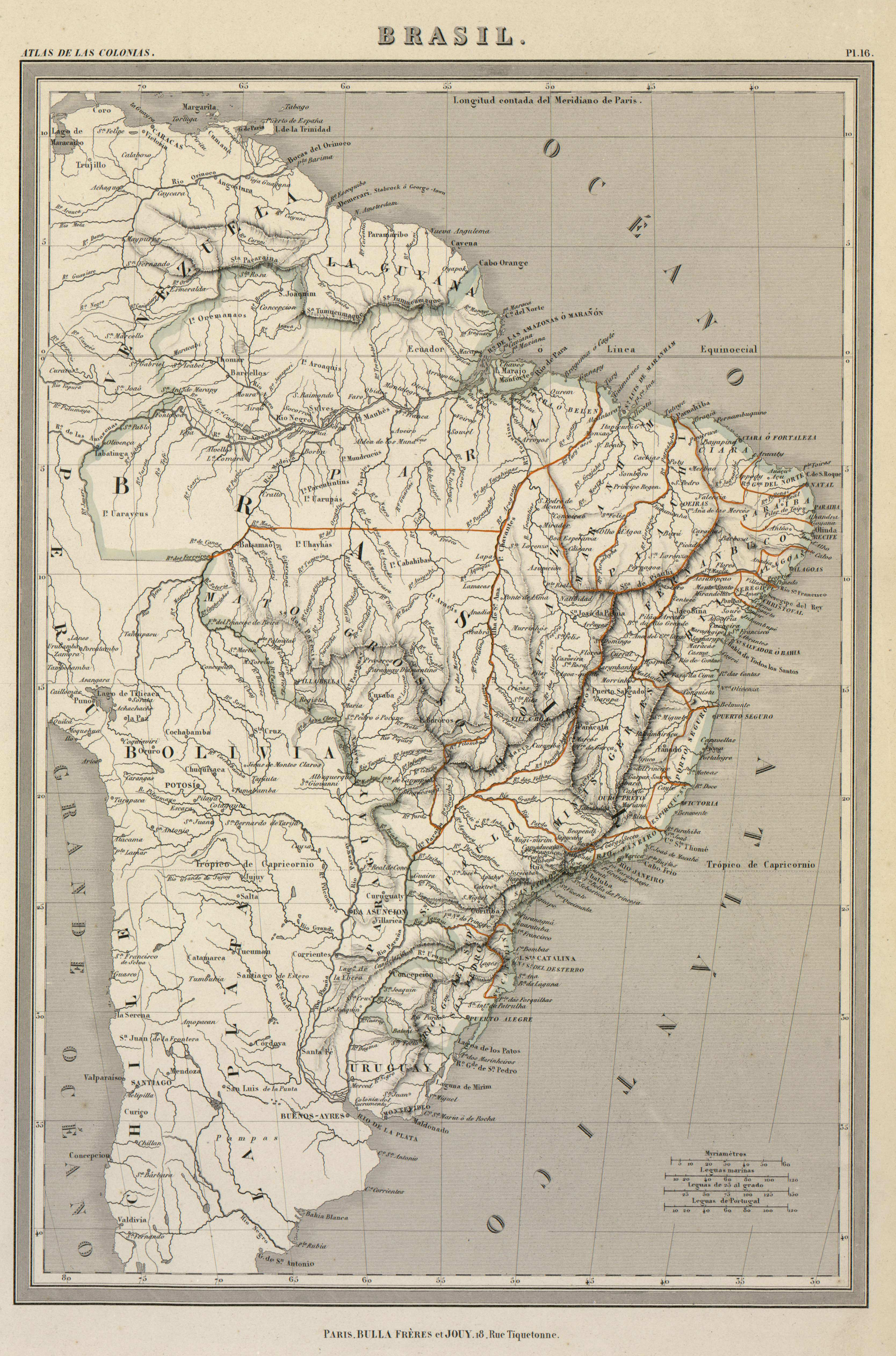
BRASIL
Map 1800 - 1899