Peoples
- GUYANA
- GUAYAQUIL
Citation
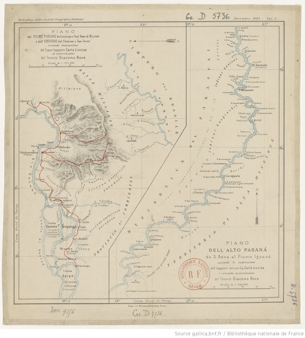
Lincisa, Carlo, and Giacomo Bove. Piano dell'alto Parana da S. Anna al fiume Iguazu. Map. Rome: Bruno e Salomone, 1884. Accessed May 7, 2023. https://gallica.bnf.fr/ark:/12148/btv1b84446845/f1.item.
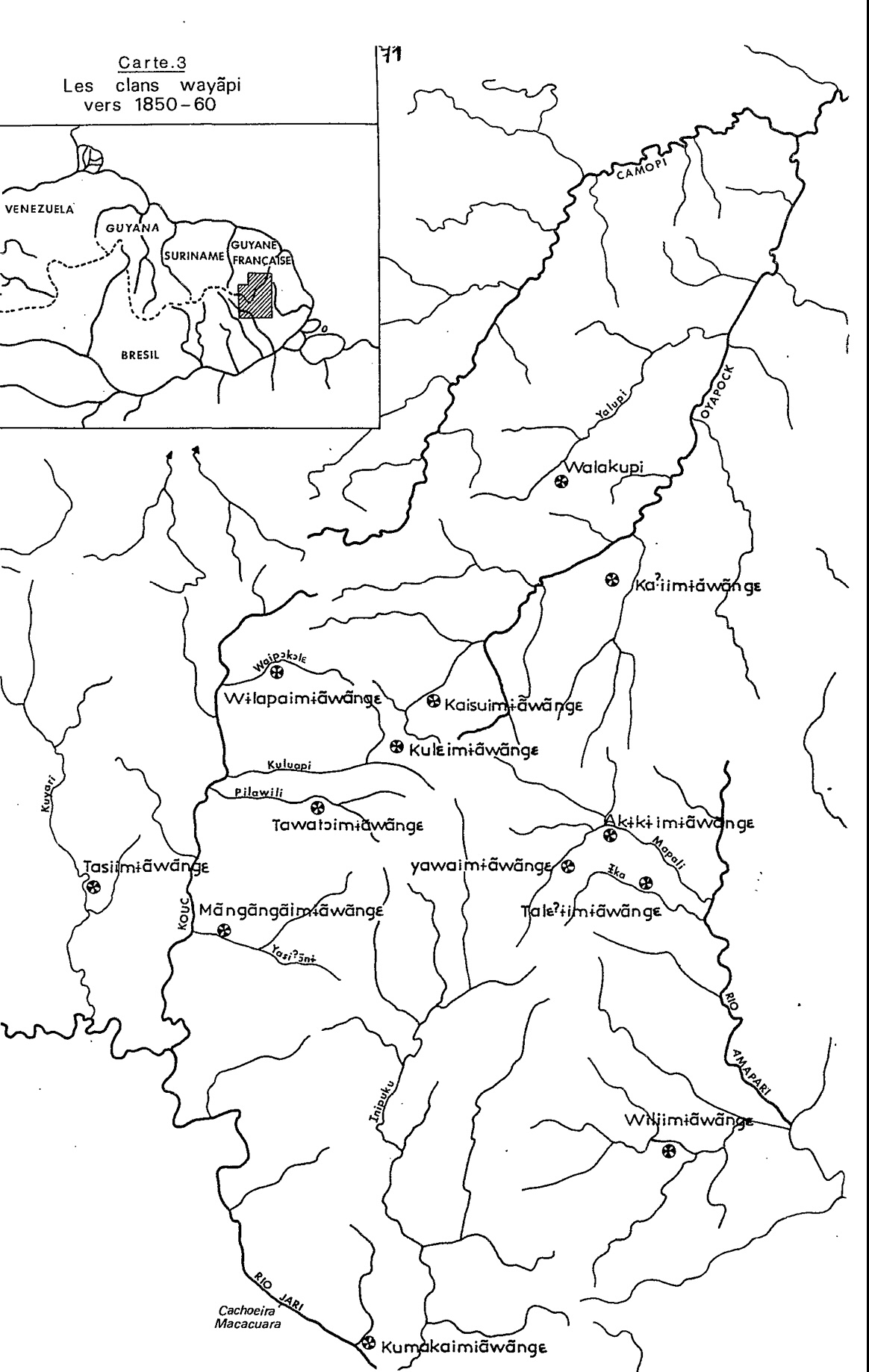
Carte 3. Les clans wayãpi vers 1850-1860
Map 1850 - 1860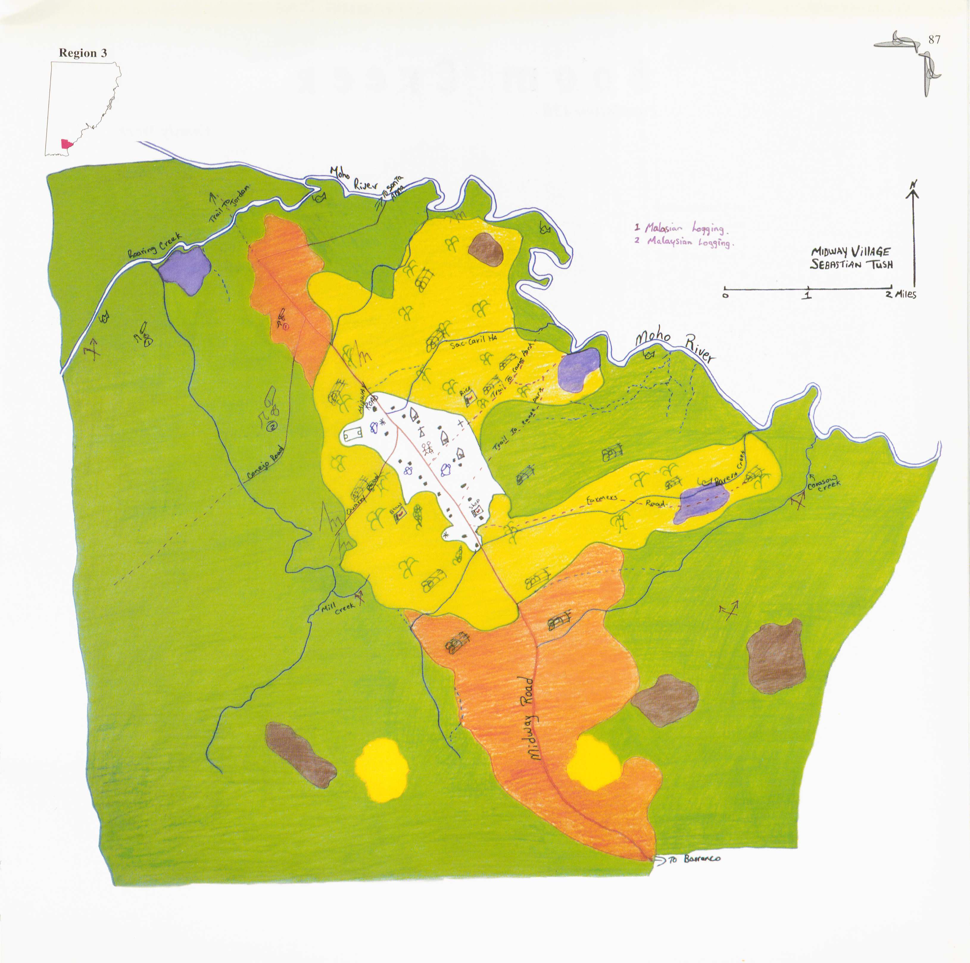
Midway
Map 1997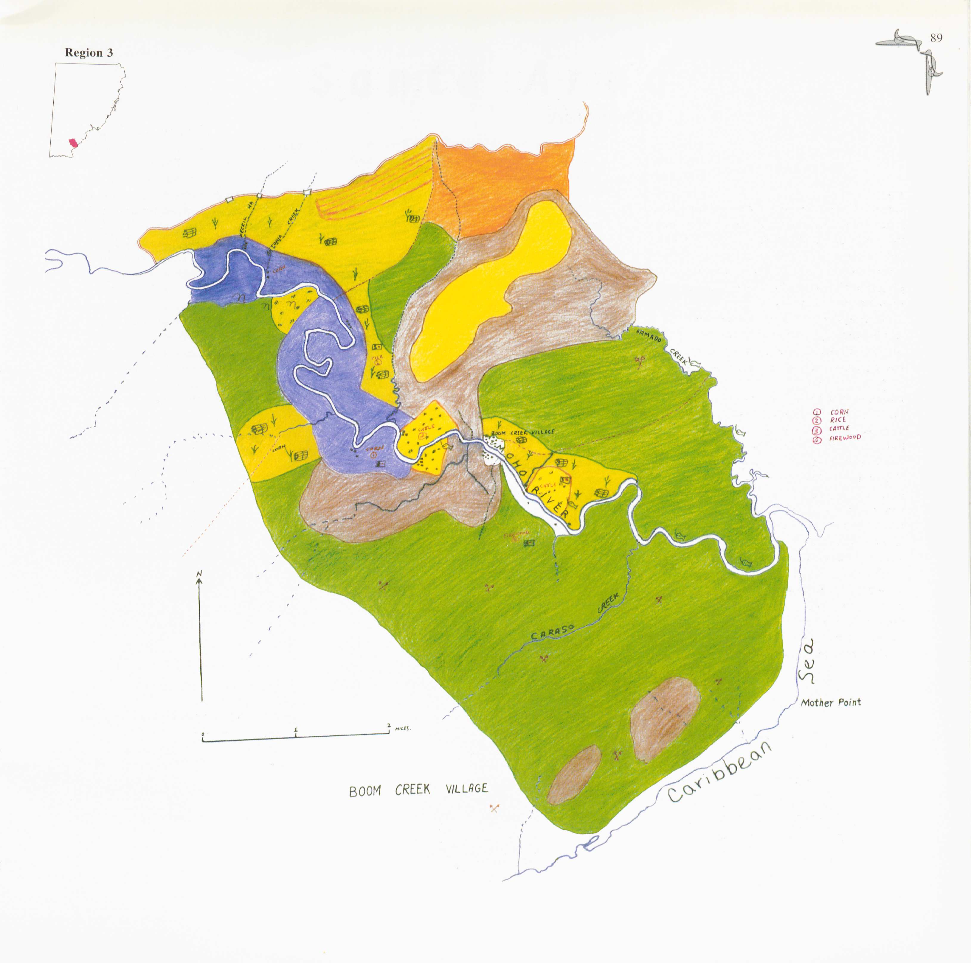
Boom Creek Village
Map 1997
Le Cours de la Riviere des Amazones
Map 1680
Sketch of the country from reduction to Buenos Ayres, shewing the movements of B. Genl. Beresford, when he captured that place June 1806. Drawn from memorandums furnished by Capt: Donnelly
Map 1806
Descripción de la costa de tierra firme que perteneçe a la gouernaçión de Cumaná;que es desde la boca de los Dragos asta el río de Unare para mayor inteligencia de la posición y vecindad que tiene la ysla de la Margarita con dicha costa
Map 1661
NOVA ET EXACTA DELINEATIO AMERICA
Map 1534
CARTE POUR SUIVRE LES VOYAGES du DR. CREVAUX SUR LES RIVIÈRES MAGDALENA;GUAYABERO ET ORÉNOQUE
Map 1881