Peoples
- GUARANI
Citation
Lucchesi, Adamo. Trenta Leghe (166 chilometri) Dell' Itambe' Guazù. Map (Bottom). Rome: Bruno e Salomone, 1884. Accessed May 7, 2023. https://gallica.bnf.fr/ark:/12148/btv1b84449935#.
Geographic Distribution of the Huastec
Map 1969
Enlhet
Map 2001
Mission du ministère de l'instruction publique. Carte de la Guyane. Exploration des Tumuc-Humac, des affluents du Maroni et de l'Oyapock, etc.
Map 1887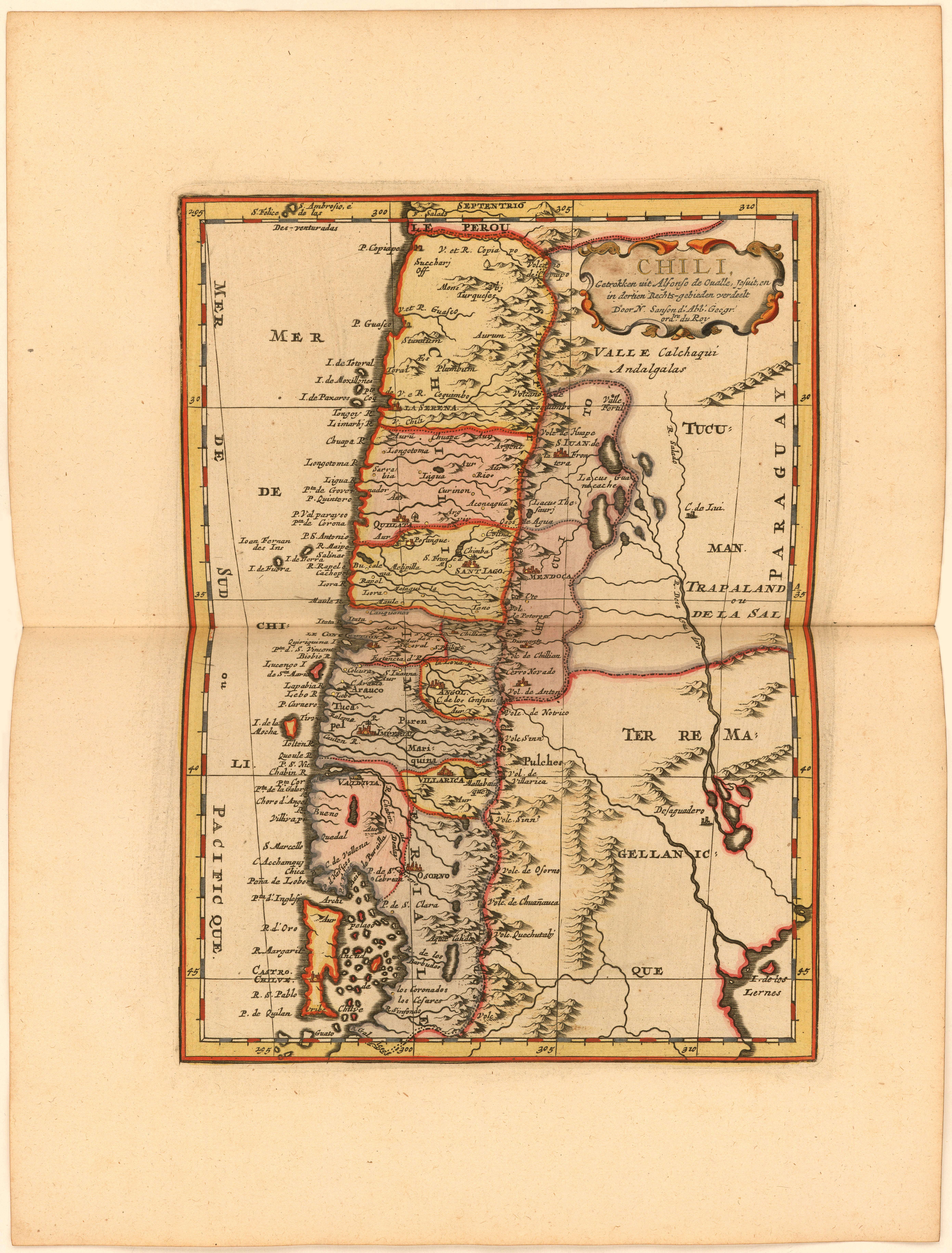
Chili, Getrokken uit Alfonso de Ovalle, Jesuit, en in dertien Rechts-gebieden verdeelt Door N. Sanson d.'Abb. Geogr. ordre. du Roy
Map 1600 - 1667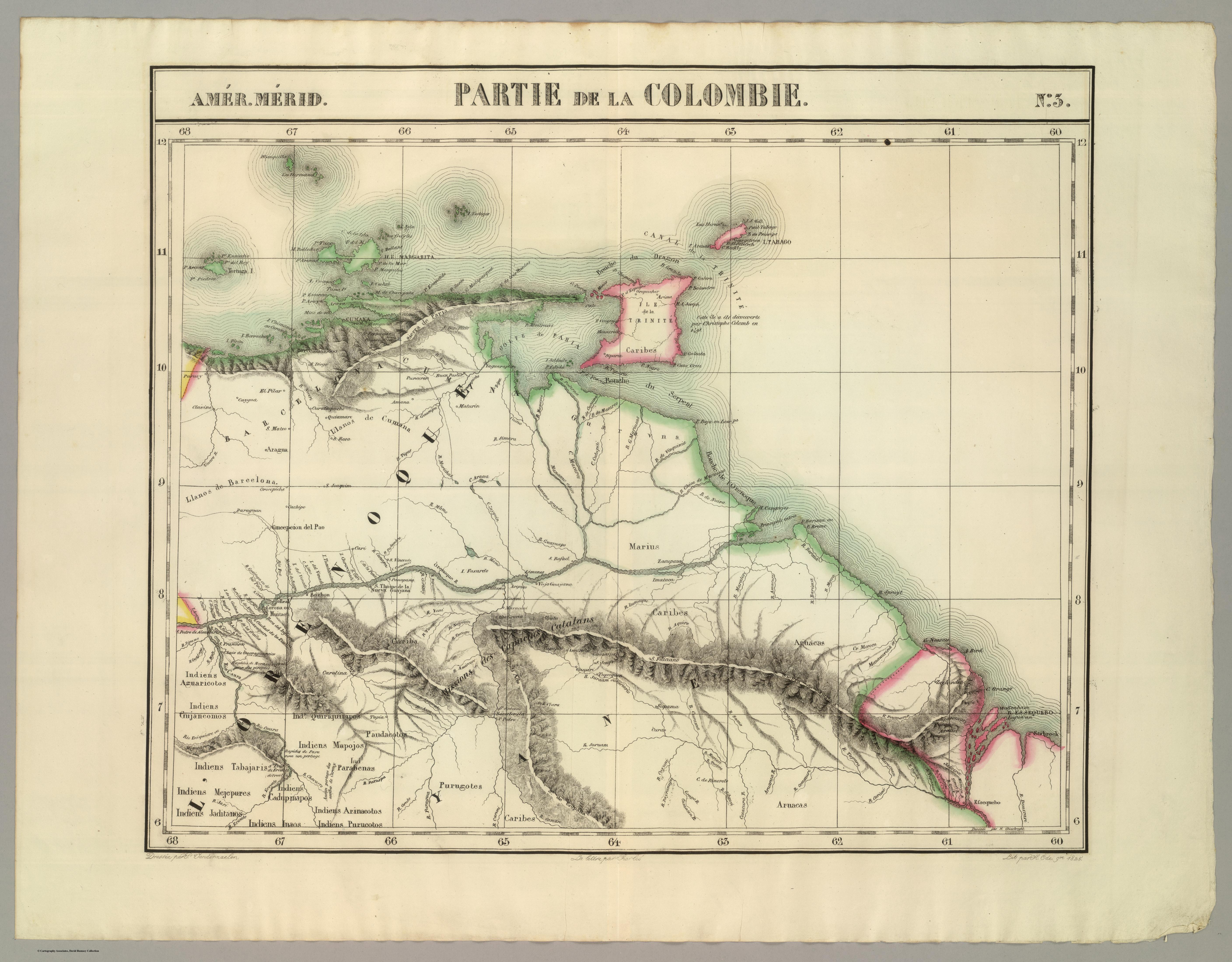
PARTIE DE LA COLOMBIE
Map 1825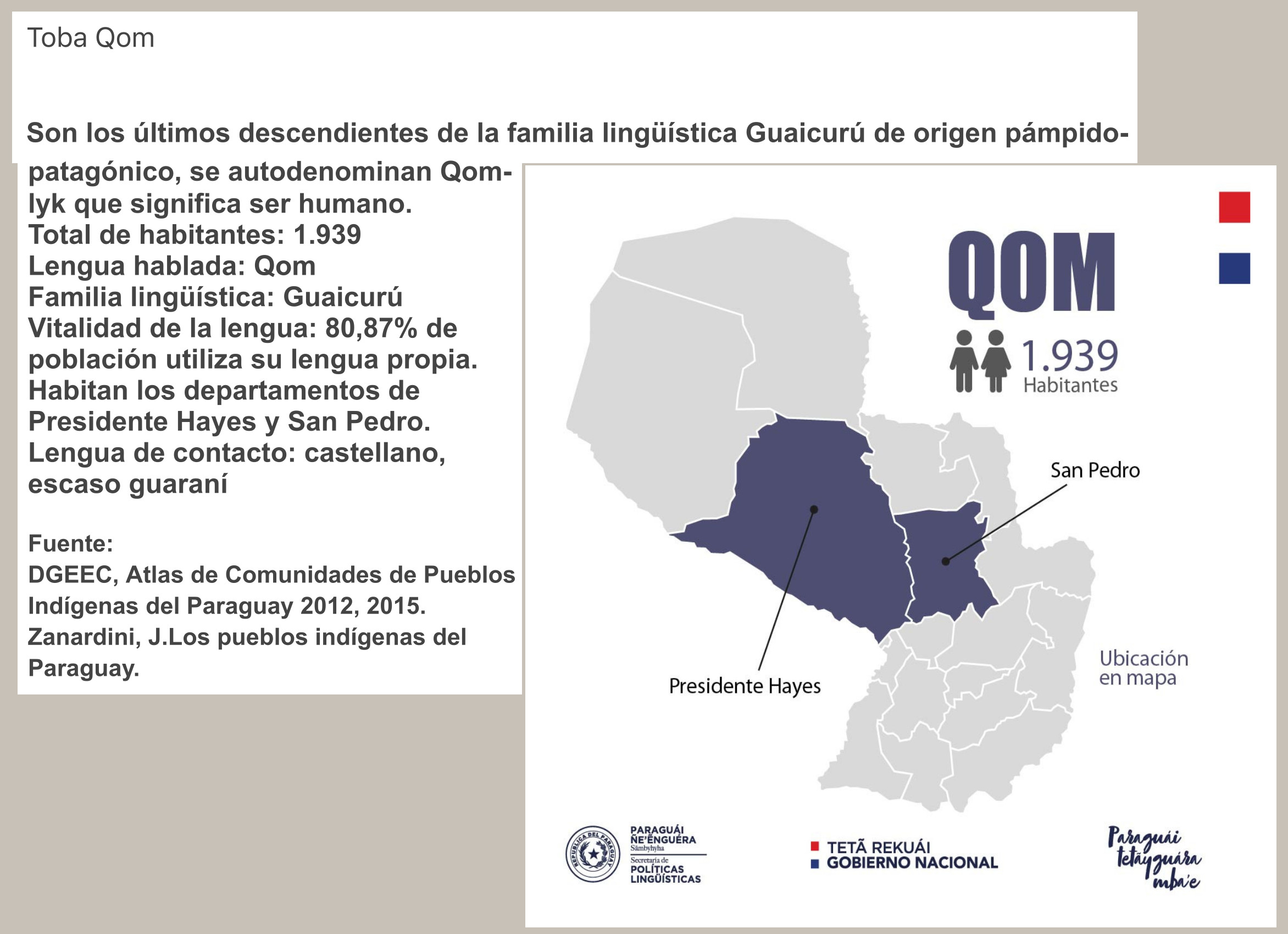
QOM
Map 2015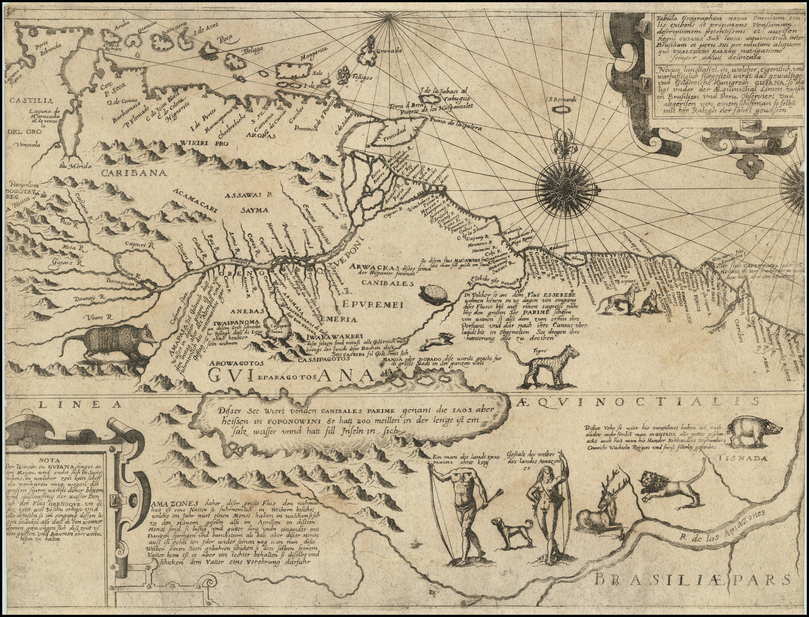
Tabula Geographica nova Omnium oculis exibens et proponens Venssimam descriptionem potentissimi et aurifen Regni Guiana Sub linea aequinoctiuli iner Brasiliam et eru Situ per nautam aliquem qui Gualthero Ralegh navigatione Semper Adsuit delineata
Map 1594 - 1596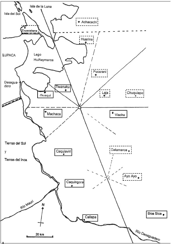
INDIGENOUS DRAFT LABOR (MITA) FOR MINES OF POTOSI UNDER SPANISH COLONIAL RULE – THE CASE OF THE PAKAXA AYMARA POLITY IN THE LATE 16TH CENTURY
Map 1570 - 1650