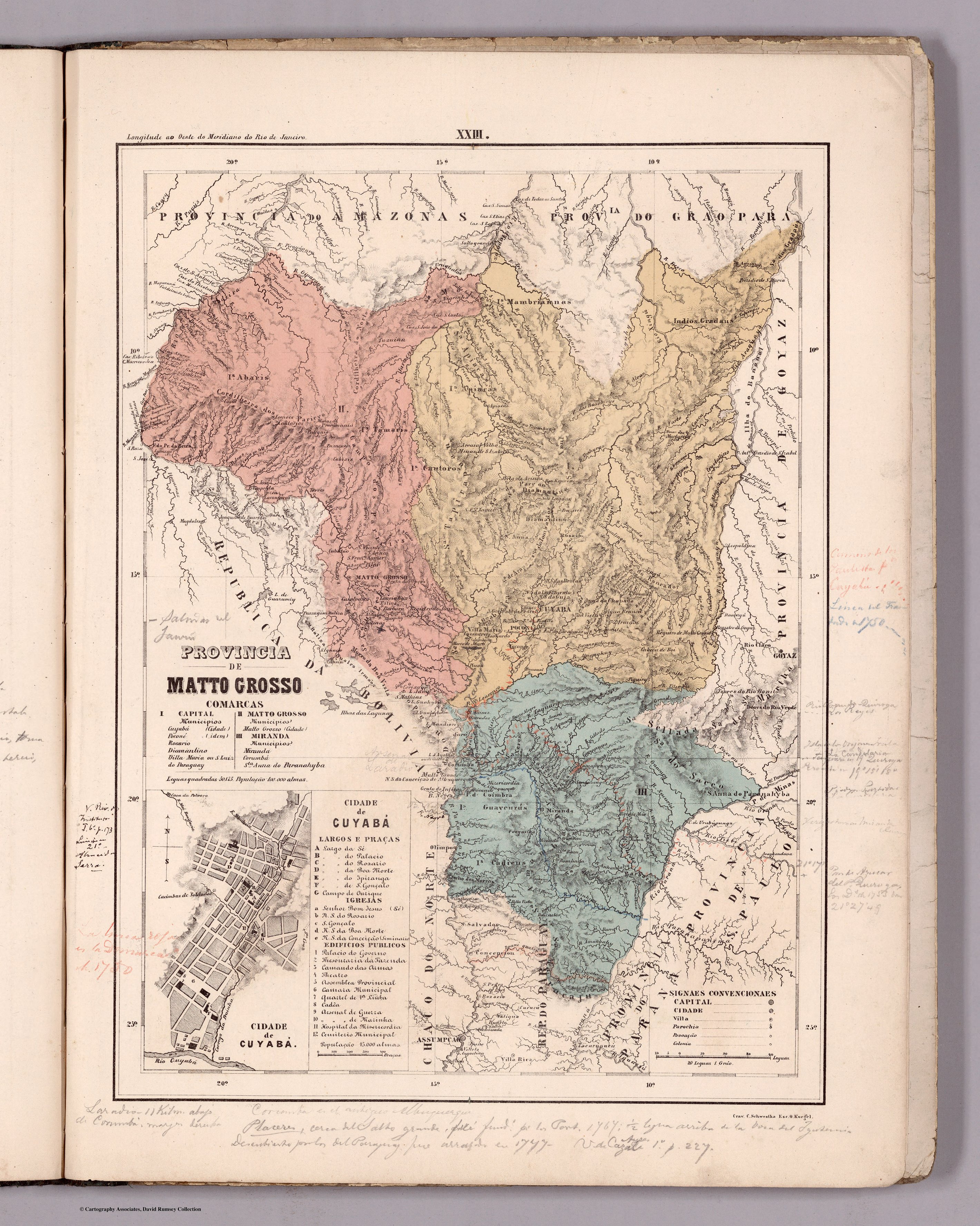
Dispossesions in the Americas

Dispossesions in the Americas

  • Home
  • Explore
  • About
  • Authors
  • Art
  • Bodies
  • Curricula
  • Cultural Heritage
  • Maps
  • Territories
Back to Explore
Map 1865 - 1868

Planta do TERRITORIO PARAGUAYO

  • JOURDAN, E. C.

Published: 1871

  • Download Image

Peoples

  • GUAICURU

Citation

Jourdan, E. C. "Planta do Territorio Paraguayo." Map. In Atlas Historico da Guerra do Paraguay, 6. Río de Janeiro: Lithographia Imperial de Eduardo Rensburg, 1871. Accessed May 3, 2023. http://bdh.bne.es/bnesearch/detalle/bdh0000006866.

  • Download Image

Reading in Spanish

Map 1865 - 1868

Planta do TERRITORIO PARAGUAYO

  • JOURDAN, E. C.

Published: 1871

  • Download Image
  • Download Image

Reading in Portuguese

Map 1865 - 1868

Planta do TERRITORIO PARAGUAYO

  • JOURDAN, E. C.

Published: 1871

  • Download Image

Peoples

  • GUAICURU

Citation

Jourdan, E. C. "Planta do Territorio Paraguayo." Map. In Atlas Historico da Guerra do Paraguay, 6. Río de Janeiro: Lithographia Imperial de Eduardo Rensburg, 1871. Accessed May 3, 2023. http://bdh.bne.es/bnesearch/detalle/bdh0000006866.

  • Download Image

Related Content

PROVINCIA DE MATTO GROSSO

PROVINCIA DE MATTO GROSSO

Map 1800 - 1850
Chile: Desierto de Atacama

Chile: Desierto de Atacama

Map 1854
Guiana, comprehending British, Dutch & French

Guiana, comprehending British, Dutch & French

Map 1800 - 1899
Carte d'une partie de la Riviere de Marony qui separe la Guïanne Françoise des Hollandois Levée depuis son embouchure, Jusqu'au premier Sault.

Carte d'une partie de la Riviere de Marony qui separe la Guïanne Françoise des Hollandois Levée depuis son embouchure, Jusqu'au premier Sault.

Map 1700 - 1799
LOCALIZACION GEOGRAFICA DE LAS COMUNIDADES CIMARRONAS EN COLOMBIA DURANTE LOS SIGLOS XVI Y XVII

LOCALIZACION GEOGRAFICA DE LAS COMUNIDADES CIMARRONAS EN COLOMBIA DURANTE LOS SIGLOS XVI Y XVII

Map 1500 - 1699
SUITE DU BRESIL depuis la Baye de Tous les Saints jusqu’a St. Paul

SUITE DU BRESIL depuis la Baye de Tous les Saints jusqu’a St. Paul

Map 1700 - 1750
Población mahkurawe (guarijío) en 2010

Población mahkurawe (guarijío) en 2010

Map 2010
"Territorio Indígena Conte Burica (Ngöbes)

"Territorio Indígena Conte Burica (Ngöbes)

Map 2010

Dispossessions in the Americas

A project by

University of Pennsylvania

Copyright 2024

With support from

Mellon Foundation

Site design & development

Element 84

Art Credits

Jourdan, E. C. “Planta do Territorio Paraguayo.” Map. In Atlas Historico da Guerra do Paraguay, 6. Río de Janeiro: Lithographia Imperial de Eduardo Rensburg, 1871. Accessed May 3, 2023. http://bdh.bne.es/bnesearch/detalle/bdh0000006866.

Site Pages

  • Home
  • Explore
  • About
  • Authors
  • Art
  • Bodies
  • Curricula
  • Cultural Heritage
  • Maps
  • Territories