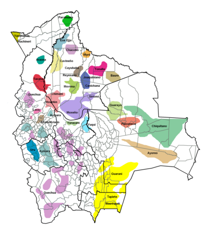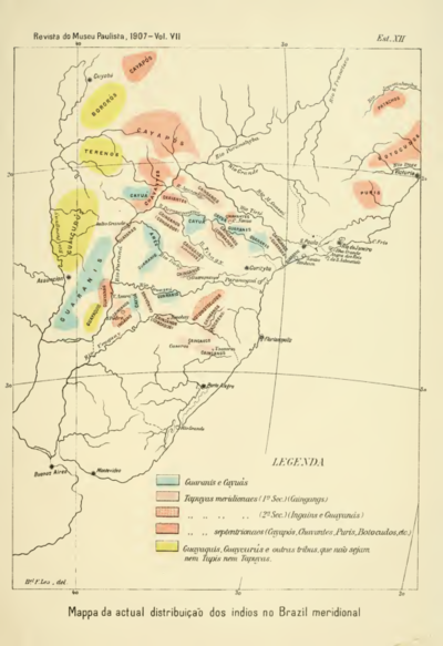
Peoples
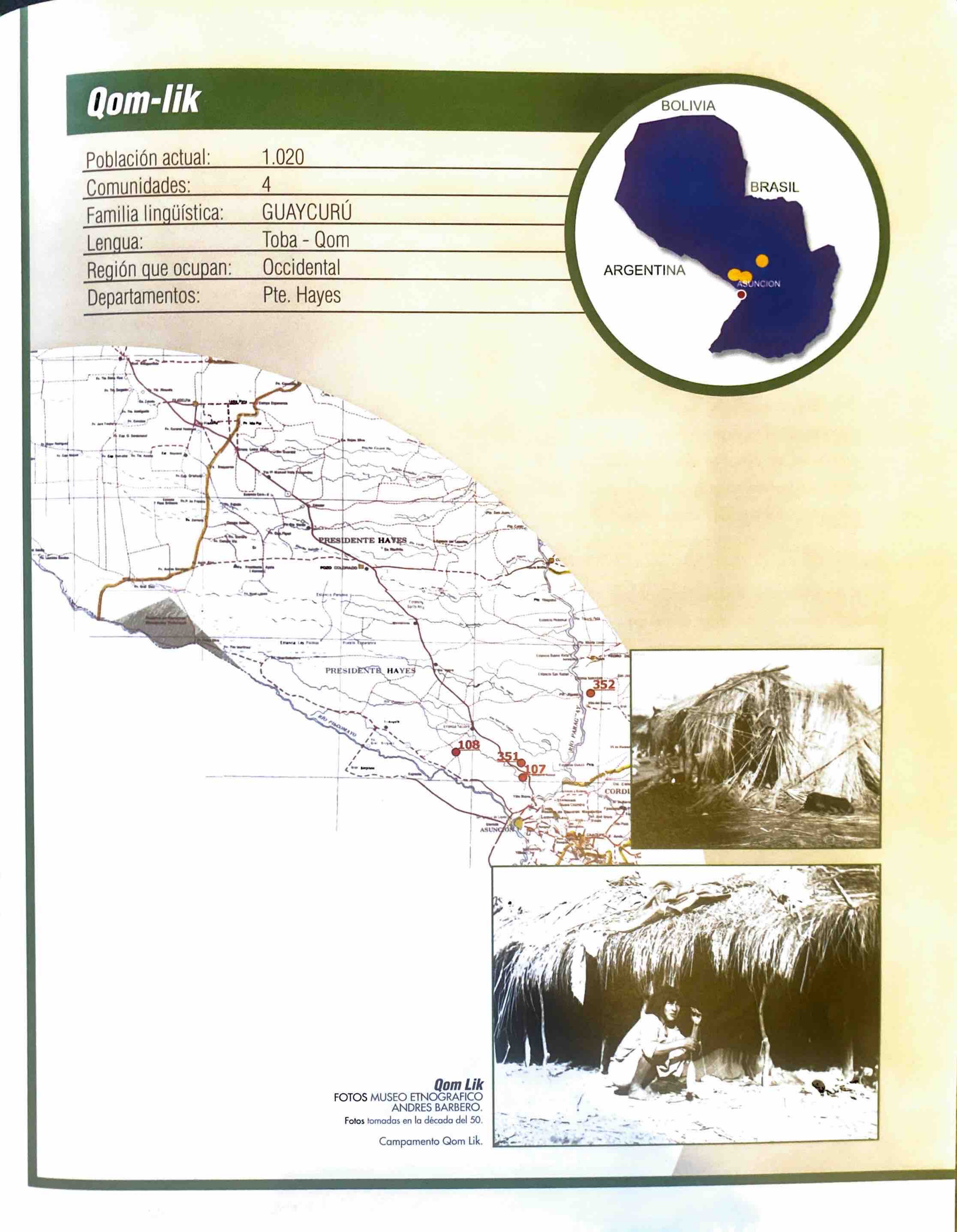
- TOBA
- CHIRIGUANO
- OREJONES
- GUANANAS
- DIAGUITA
- ARACHANES
Citation
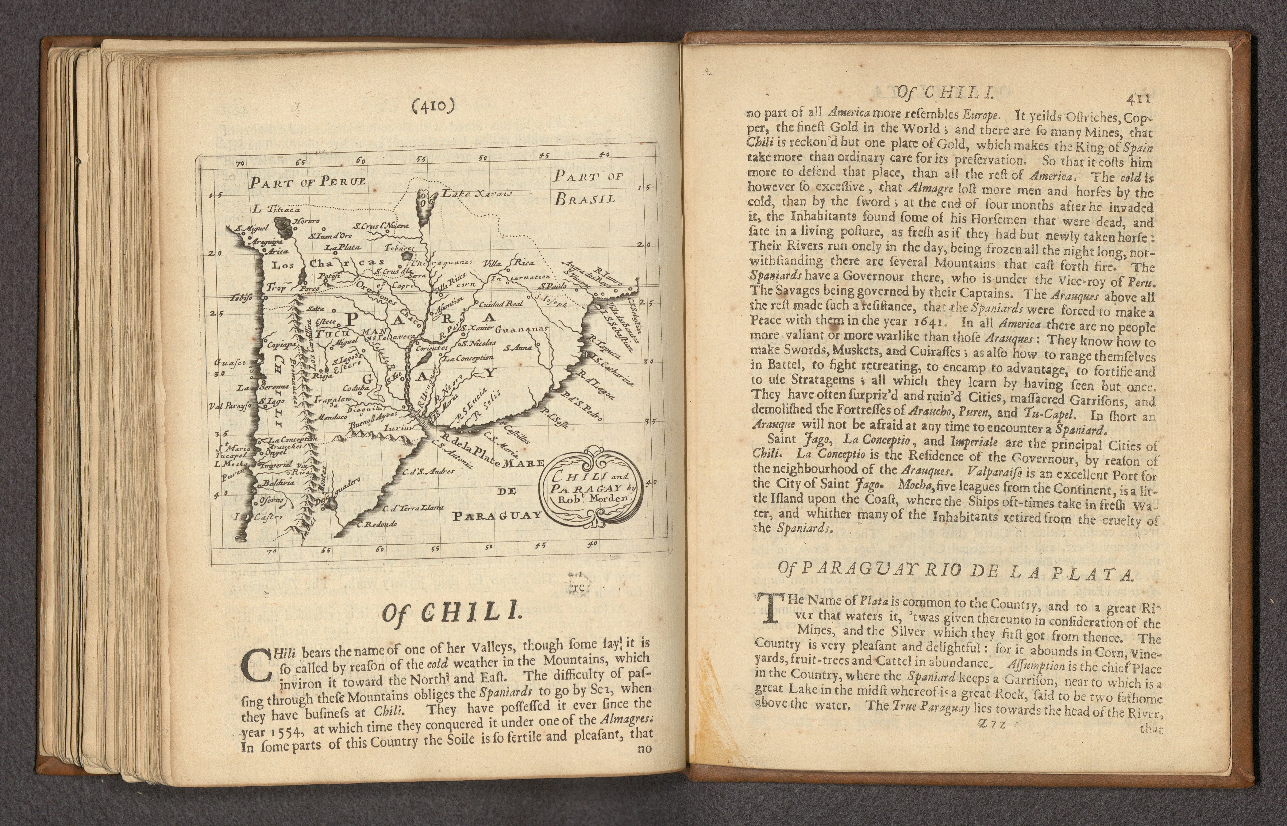
Morden, Robert. "Chili and Paragay." Map. In Foreign, 410. Vol. 2 of Geography rectified, or, A description of the world in all its kingdoms, provinces, countries, islands, cities, towns, seas, rivers, bayes, capes, ports : their ancient and present names, inhabitants, situations, histories, customs, governments, &c. : as also their commodities, coins, weights, and measures, compared with those at London. London: Atlas in Cornhill, 1680. Accessed April 23, 2023. https://www.davidrumsey.com/luna/servlet/detail/RUMSEY~8~1~335486~90103175:-Chile,-Paraguay,-Argentia--Text--O?sort=pub_list_no_initialsort%2Cpub_date%2Cpub_list_no%2Cseries_no.