Dispossesions in the Americas

Dispossesions in the Americas

  • Home
  • Explore
  • About
  • Authors
  • Art
  • Bodies
  • Curricula
  • Cultural Heritage
  • Maps
  • Territories
Back to Explore
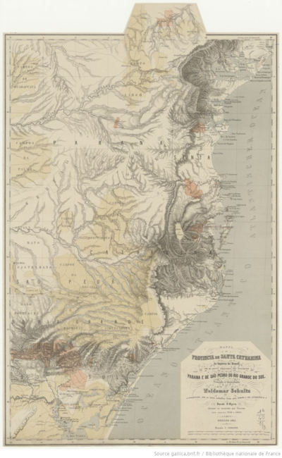
Map 1520

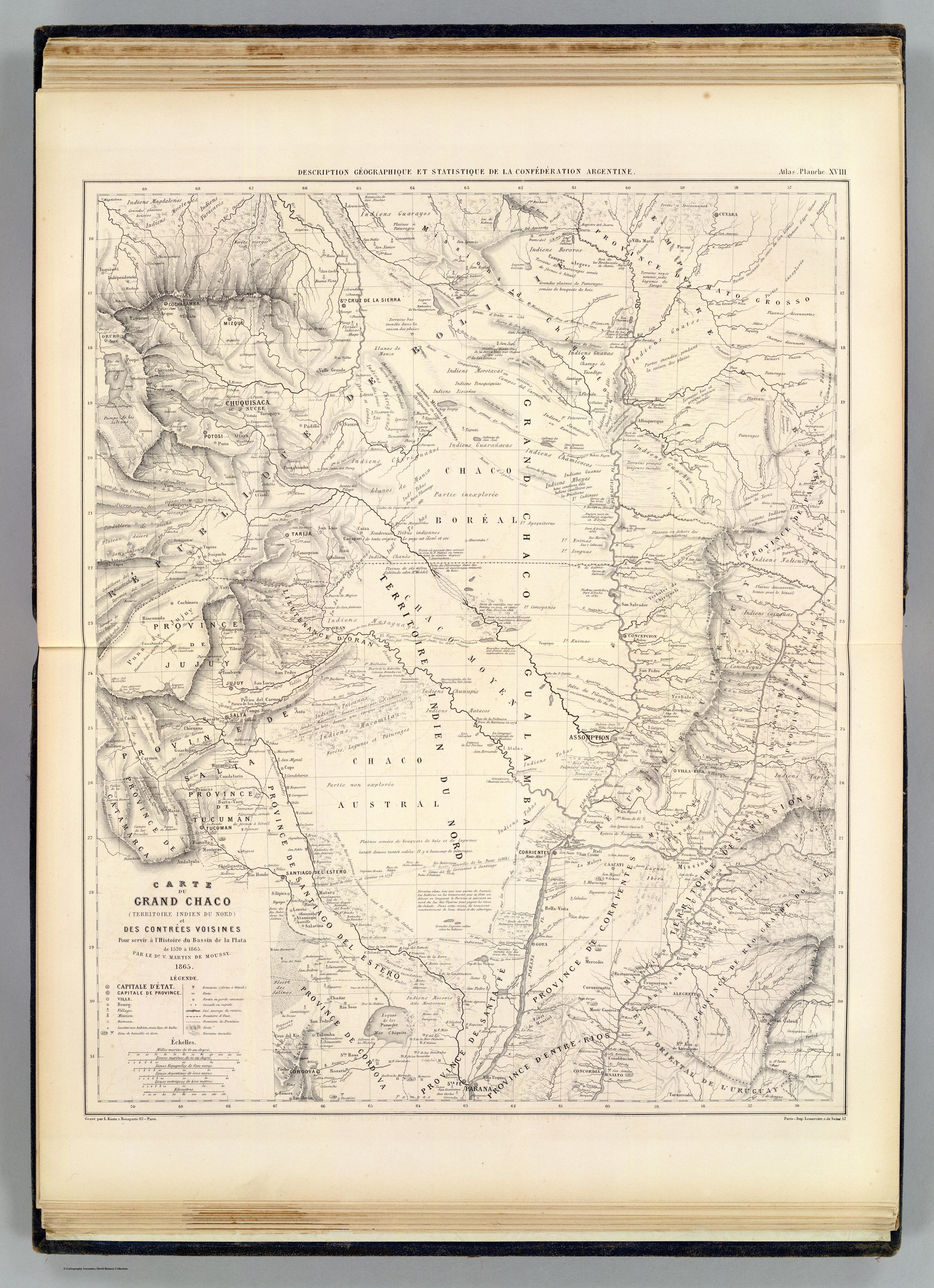
CARTE DU GRAND CHACO (TERRITOIRE INDIEN DU NORD) et DES CONTRÉES VOISINES

  • MARTIN DE MOUSSY, VICTOR

Published: 1865

  • Download Image

Peoples

  • GUARAYO
  • GUATOS
  • AYOREO
  • GUARANOCA
  • CHAMACOCOS
  • ZAMUCO
  • ENIMAGA
  • CHANE
  • GUANA
  • CHIRIGUANO
  • ITATINES
  • MBYA
  • GUAICURU
  • TOBA
  • LENGUA
  • NALICUEGAS
  • PAI TAVYTERA
  • MATACO
  • CHUNUPI
  • CANENDEYU
  • GUACHIS
  • CADIENOS
  • COMOYANES
  • PAISANAS
  • MALBALAS
  • TUPI
  • MOCOVIS
  • MOCETENES
  • YURACARES
  • BOROROS
  • CHIQUITOS
  • IZOZENOS
  • AYAQUITERAS
  • POTEROROS

Citation

Martin de Moussy, Victor. Carte du Grand Chaco et contrees voisines. Map. Paris: Firmin Didot Freres, 1865. Accessed April 18, 2023. https://www.davidrumsey.com/luna/servlet/detail/RUMSEY~8~1~20546~510072:Carte-du-Grand-Chaco-et-contrees-vo?sort=pub_list_no_initialsort%2Cpub_date%2Cpub_list_no%2Cseries_no#.
  • Download Image

Reading in Spanish

Map 1520

CARTE DU GRAND CHACO (TERRITOIRE INDIEN DU NORD) et DES CONTRÉES VOISINES

  • MARTIN DE MOUSSY, VICTOR

Published: 1865

  • Download Image
  • Download Image

Related Content

PUEBLO POPOLOCA

PUEBLO POPOLOCA

Map 2020
INTENDENCIA DE TABASCO

INTENDENCIA DE TABASCO

Map 1800
PUEBLO MATSIGENKA

PUEBLO MATSIGENKA

Map 2021
LIENZO DE QUAUHQUECHOLLAN

LIENZO DE QUAUHQUECHOLLAN

Map 1500 - 1599
Geographic Distribution of the Amuzgo

Geographic Distribution of the Amuzgo

Map 1969
DISTRIBUTION OF PRINCIPAL NATIONS BEFORE 1000 AD

DISTRIBUTION OF PRINCIPAL NATIONS BEFORE 1000 AD

Map 1000
Partie de la Colombie et du Bresil. Amer. Merid. no. 9. (Dresse par Ph. Vandermaelen;lithographie par H. Ode. Cinquieme partie - Amer. merid. Bruxelles. 1827)

Partie de la Colombie et du Bresil. Amer. Merid. no. 9. (Dresse par Ph. Vandermaelen;lithographie par H. Ode. Cinquieme partie - Amer. merid. Bruxelles. 1827)

Map 1827
Ethnic Groups Localization Map

Ethnic Groups Localization Map

Map 2014

Dispossessions in the Americas

A project by

University of Pennsylvania

Copyright 2024

With support from

Mellon Foundation

Site design & development

Element 84

Art Credits

Martin de Moussy, Victor. Carte du Grand Chaco et contrees voisines. Map. Paris: Firmin Didot Freres, 1865. Accessed April 18, 2023. https://www.davidrumsey.com/luna/servlet/detail/RUMSEY~8~1~20546~510072:Carte-du-Grand-Chaco-et-contrees-vo?sort=pub_list_no_initialsort%2Cpub_date%2Cpub_list_no%2Cseries_no#.
Site Pages

  • Home
  • Explore
  • About
  • Authors
  • Art
  • Bodies
  • Curricula
  • Cultural Heritage
  • Maps
  • Territories