Peoples- SANAPANA
CitationZanardini, José, and Walter Biedermann. Los Indígenas Del Paraguay. 2nd ed. Asunción: ITAIPU Binacional, 2006.
Zanardini, José, and Walter Biedermann. Los Indígenas Del Paraguay. 2nd ed. Asunción: ITAIPU Binacional, 2006.
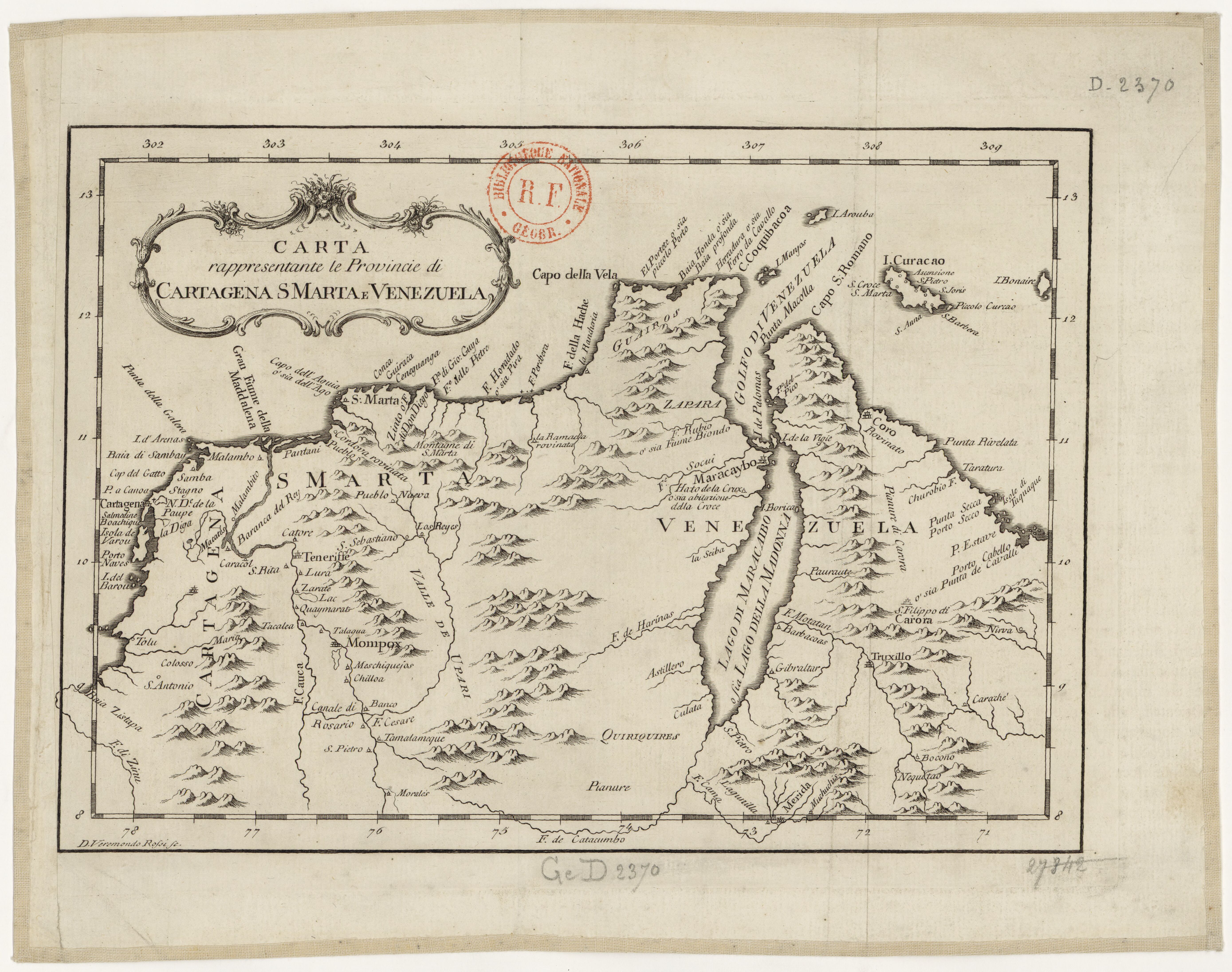
Carta rappresentante le Provincie di Cartagena;S Marta e Venezuela
Map 1754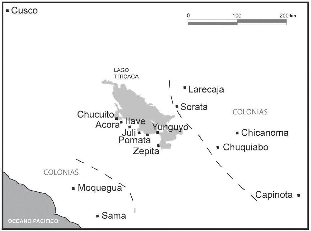
THE AYMARA POLITY OF THE LUPAQA: COMMERCIAL DESTINIES AND VERTICALITY IN THE 16TH CENTURY
Map 1500 - 1599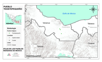
PUEBLO TEXISTEPEQUENO
Map 2020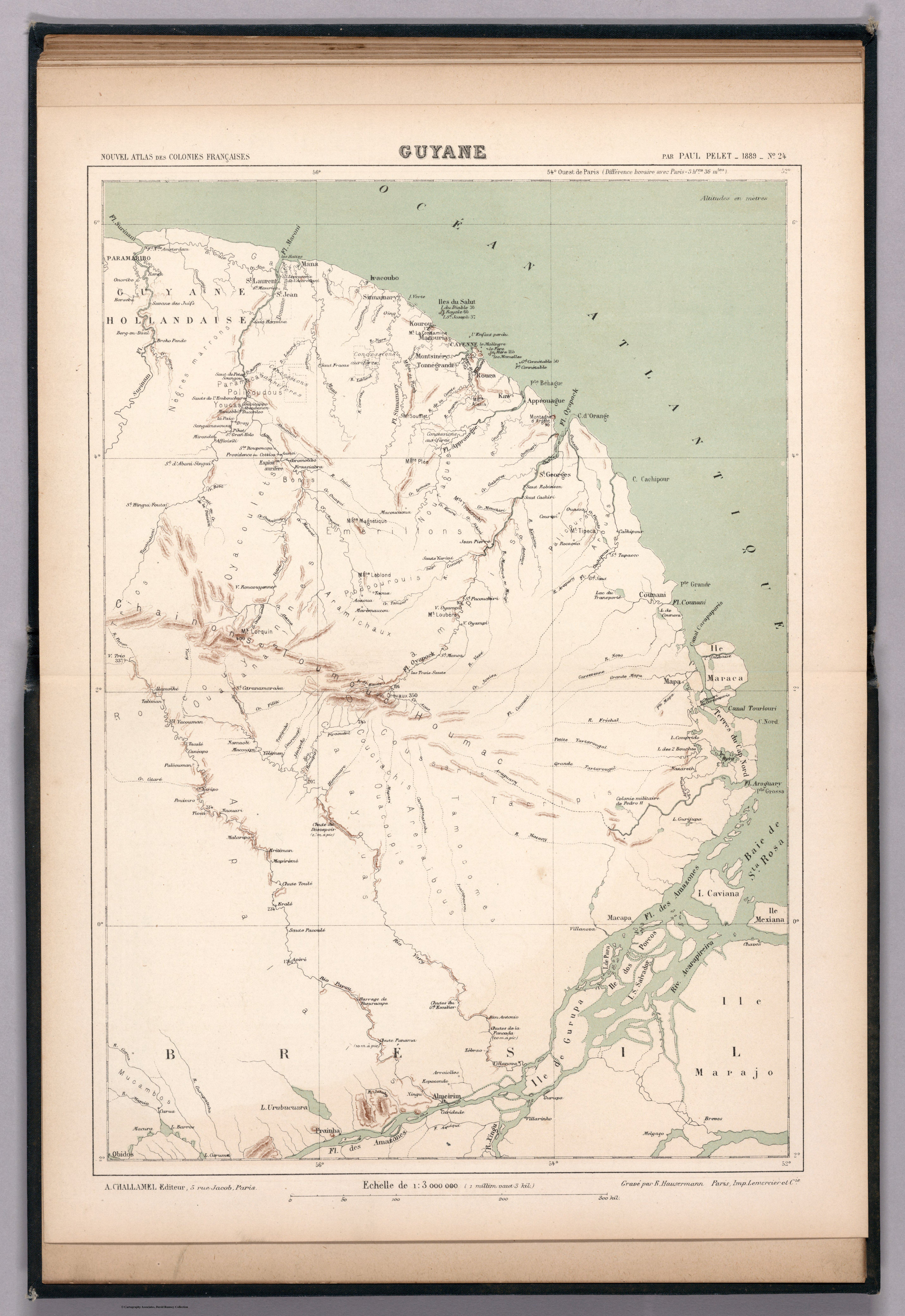
N. 24: Guyane.
Map 1800 - 1899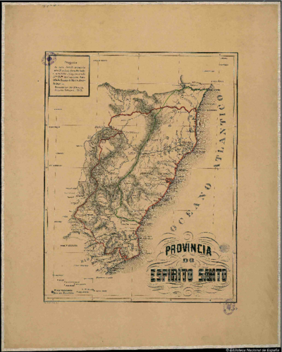
PROVINCIA DO ESPIRITO SANTO
Map 1873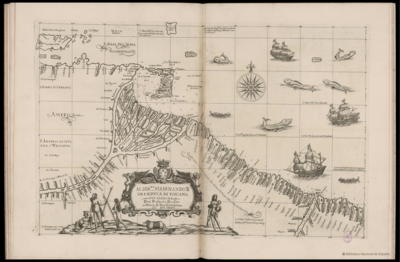
AL SERMO FERDINANDO II GRANDVCA DI TOSCANA
Map 1661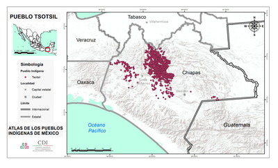
PUEBLO TSOTSIL
Map 2020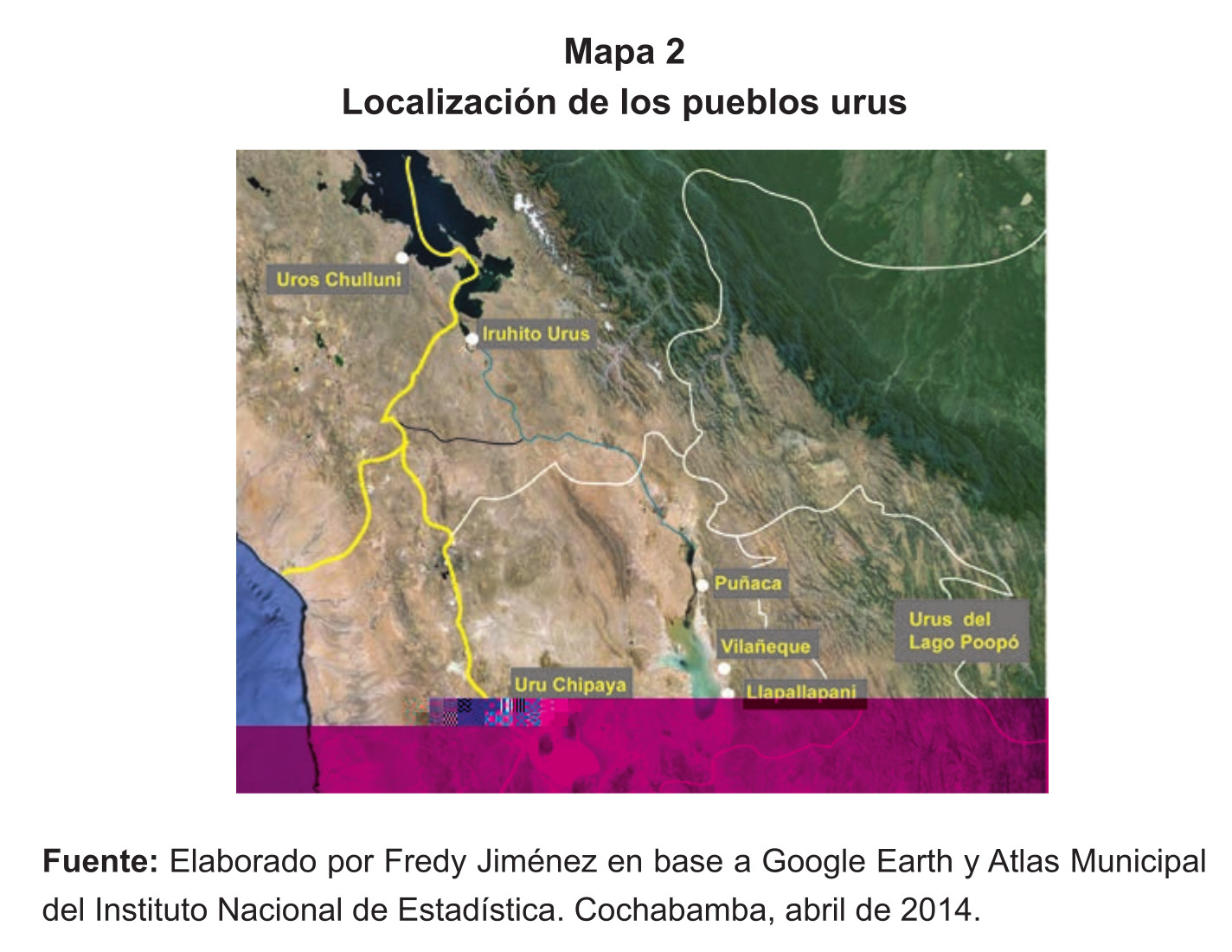
Localización de los pueblos urus
Map 2014