Dispossesions in the Americas

Dispossesions in the Americas

  • Home
  • Explore
  • About
  • Authors
  • Art
  • Bodies
  • Curricula
  • Cultural Heritage
  • Maps
  • Territories
Back to Explore
Map 2003

CAMINOS DE MIGRACIÓN EN EL MONTE

  • CHIQUENOI, DUCUBAIDE, ET AL.

Published: 2010

  • Download Image

Peoples

  • AYOREO
  • TOTOBIEGOSODE

Citation

Chiquenoi, Ducubaide, and Rosa María Quiroga. "Caminos de migración en el monte." Map. In Paraguay: El Caso Ayoreo, by Mateo Sobode Chiquenoi and Iniciativa Amotocodie, 22-23. Filadelfia, Paraguay: Unión de Nativos Ayoreo de Paraguay (UNAP), Iniciativa Amotocodie (IA), Grupo Internacional de Trabajo sobre Asuntos Indígenas (IWGIA), 2010. Accessed April 9, 2023. https://www.iwgia.org/images/publications/0287_El_Caso_Ayoreo_Paraguay_Informe_IGIA_4.pdf.

  • Download Image

Reading in Spanish

Map 2003

CAMINOS DE MIGRACIÓN EN EL MONTE

  • CHIQUENOI, DUCUBAIDE, ET AL.

Published: 2010

  • Download Image
  • Download Image

Related Content

REGIÓN SIERRA NORTE DE PUEBLA Y TOTONACAPAN

REGIÓN SIERRA NORTE DE PUEBLA Y TOTONACAPAN

Map 2000
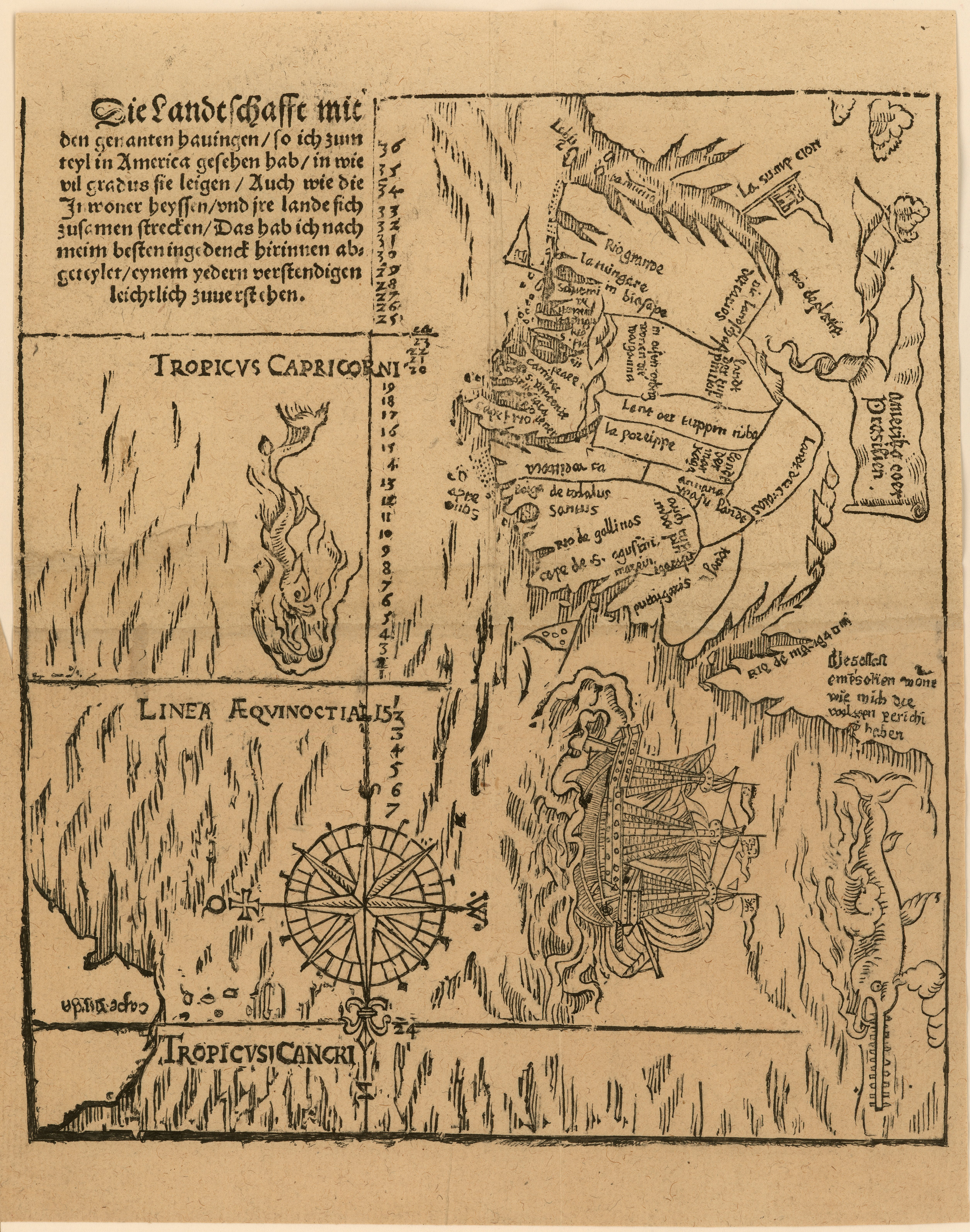
NOVA ET EXACTA DELINEATIO AMERICA

NOVA ET EXACTA DELINEATIO AMERICA

Map 1534
CARTE DU PEROU DU FLEUVE DES AMAZONES ET DU BRESIL

CARTE DU PEROU DU FLEUVE DES AMAZONES ET DU BRESIL

Map 1700 - 1799
La Guyane Francoise, avec partie de la Guyane Hollandoise: suivant les Opérations et les Cartes récentes;des Ingênieurs-Géographes François.

La Guyane Francoise, avec partie de la Guyane Hollandoise: suivant les Opérations et les Cartes récentes;des Ingênieurs-Géographes François.

Map 1787
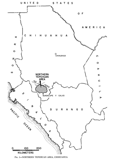
PUEBLO JAQARU

PUEBLO JAQARU

Map 2021
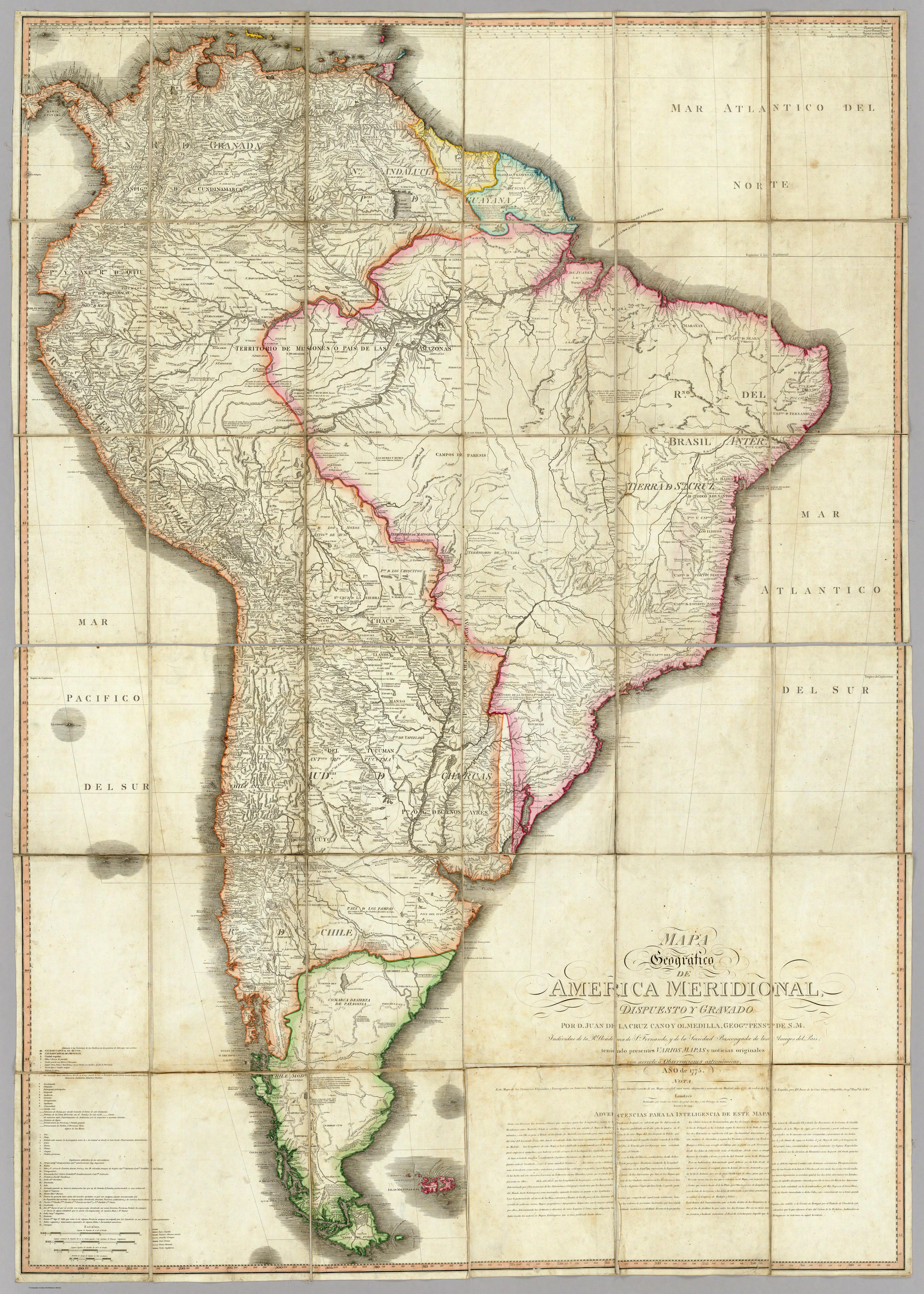
Outlines of the physical and political division of South America: Delineated by A. Arrowsmith partly from scarce and original documents, published before the year 1806 but principally from manuscript maps & surveys made between the years 1771 and 1806, corrected from accurate astronomical observations to 1810.

Outlines of the physical and political division of South America: Delineated by A. Arrowsmith partly from scarce and original documents, published before the year 1806 but principally from manuscript maps & surveys made between the years 1771 and 1806, corrected from accurate astronomical observations to 1810.

Map 1800 - 1899
PUEBLO MAZAHUA

PUEBLO MAZAHUA

Map 2020
Carte de l'Isle de Cayenne et de ses environs

Carte de l'Isle de Cayenne et de ses environs

Map 1764

Dispossessions in the Americas

A project by

University of Pennsylvania

Copyright 2024

With support from

Mellon Foundation

Site design & development

Element 84

Art Credits

Chiquenoi, Ducubaide, and Rosa María Quiroga. “Caminos de migración en el monte.” Map. In Paraguay: El Caso Ayoreo, by Mateo Sobode Chiquenoi and Iniciativa Amotocodie, 22-23. Filadelfia, Paraguay: Unión de Nativos Ayoreo de Paraguay (UNAP), Iniciativa Amotocodie (IA), Grupo Internacional de Trabajo sobre Asuntos Indígenas (IWGIA), 2010. Accessed April 9, 2023. https://www.iwgia.org/images/publications/0287_El_Caso_Ayoreo_Paraguay_Informe_IGIA_4.pdf.

Site Pages

  • Home
  • Explore
  • About
  • Authors
  • Art
  • Bodies
  • Curricula
  • Cultural Heritage
  • Maps
  • Territories