Peoples
- INDIENS
Citation
Plan de l'isle de Pin [Map]. (1692). Gallica. https://gallica.bnf.fr/ark:/12148/btv1b5970836z/f1.item.r=Panama.zoom
Nova carta DO BRAZIL e da AMERICA PORTUGUEZA
Map 1821
Mapa de las tierras indígenas - Familias lingüísticas
Map 2017
Mapa de la America meridional, desde la equinoccial hasta la Tierra del Fuego
Map 1596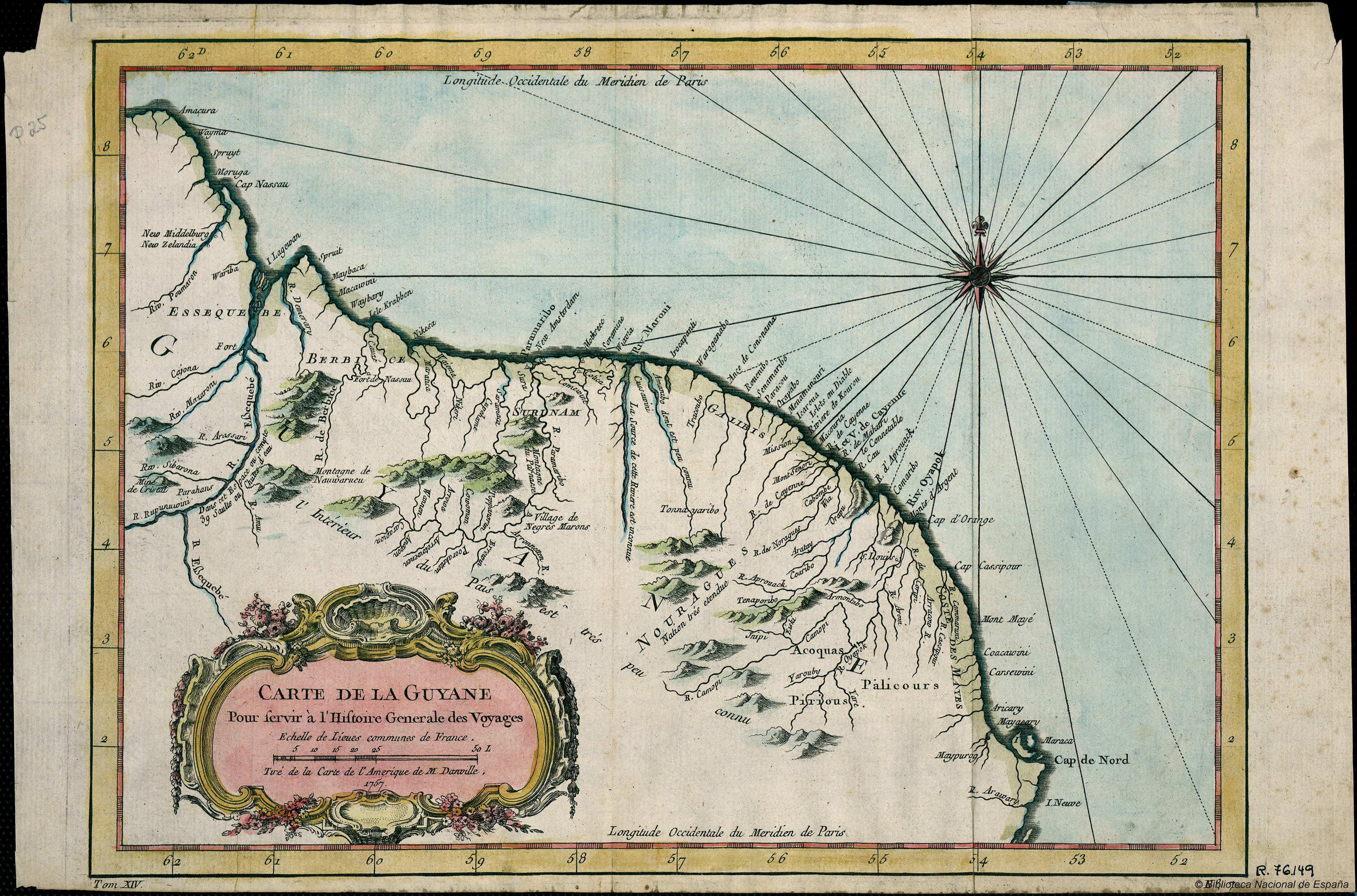
Carte de la Guyana pour servir à l'Histoire Generale des Voyages.
Map 1757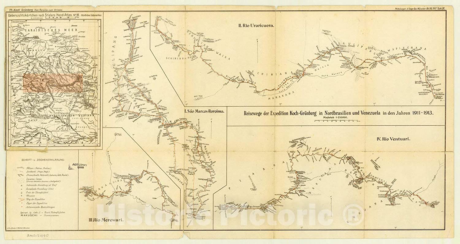
Expedition Koch-Grunberg in Nordbrasilien und Venezuela in den Jahren 1911-1913
Map 1911 - 1913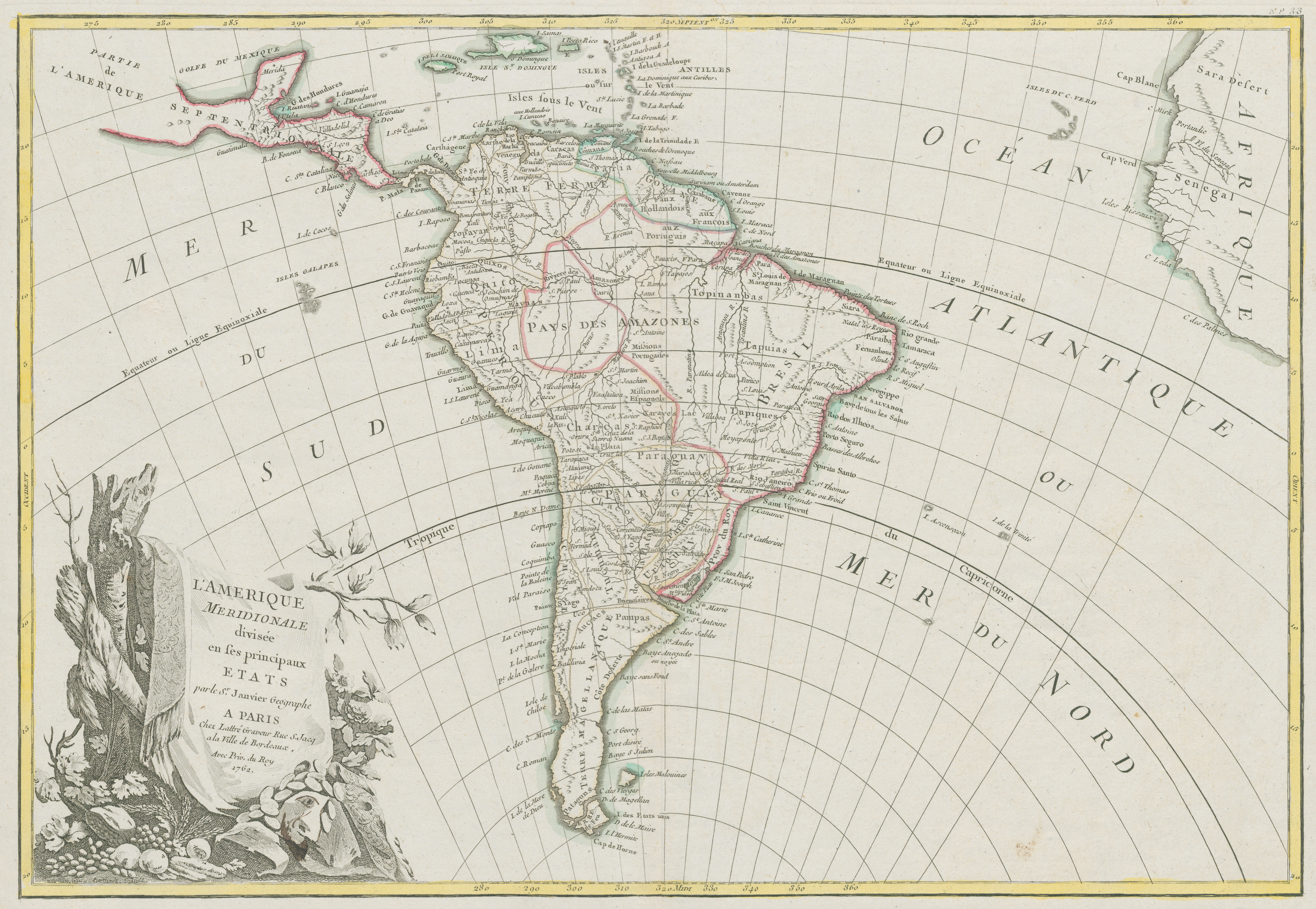
L'Amerique Meridionale divisée en ses principaux Etats
Map 1700 - 1800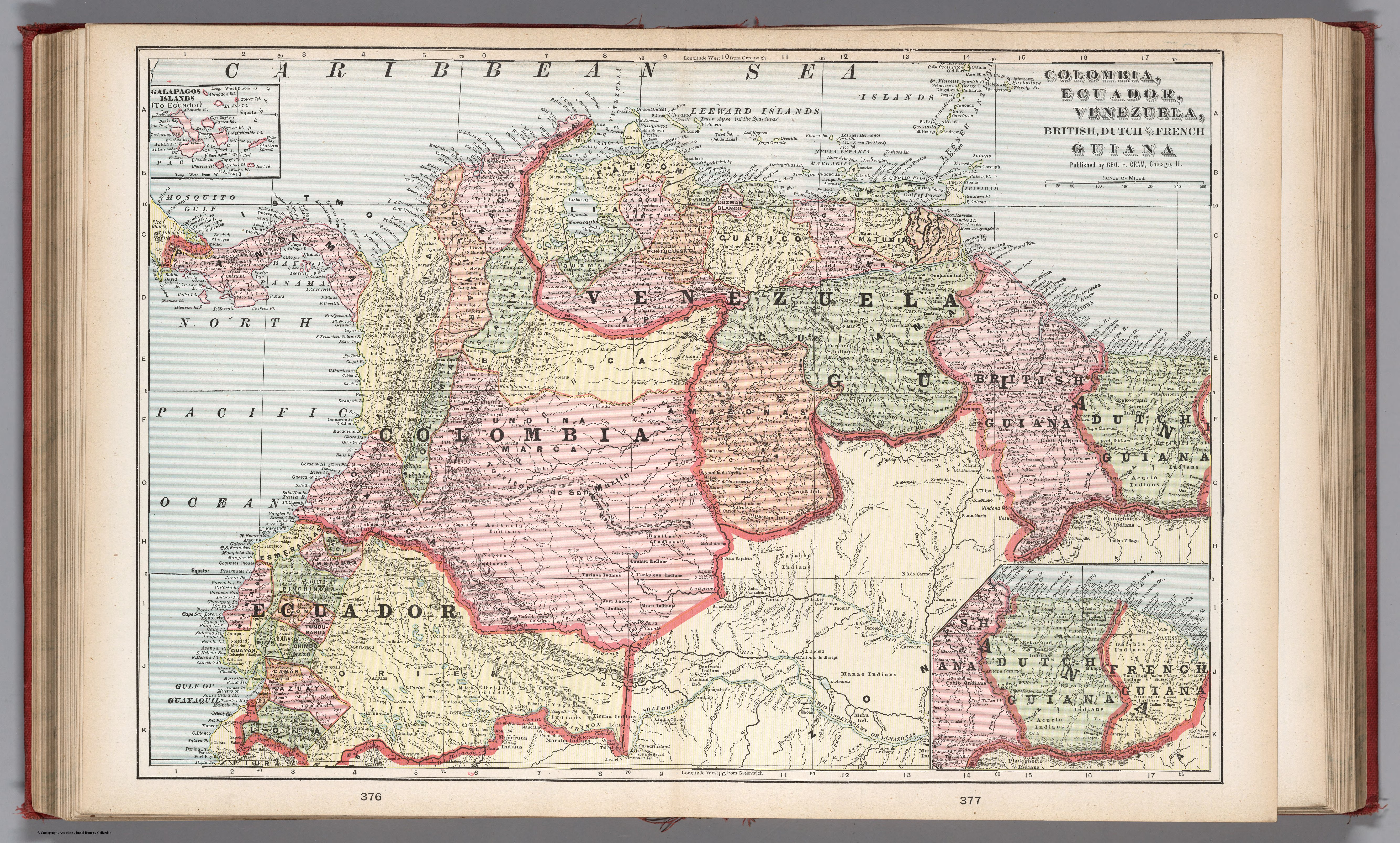
COLUMBIA;ECUADOR;VENEZUELA;BRITISH DUTCH AND FRENCH GUIANA
Map 1900 - 1999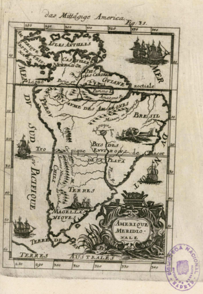
Amerique Meridionale
Map 1600 - 1699