Peoples
- CARIBS
Citation
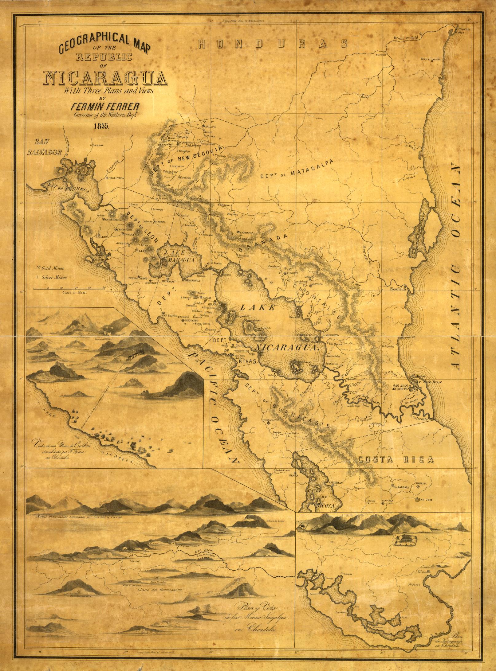
Geographical Map of the Republic of NIcaragua. Ferrer;Fermin. 1855. Library of Congress Geography and Map Division. G4850 1855 .F4 TIL. http://hdl.loc.gov/loc.gmd/g4850.ct000427AccessedJuly252023.
Cayenne représentée exactement dans toutes ses rivières, criques et habitations et ses dehors
Map 1717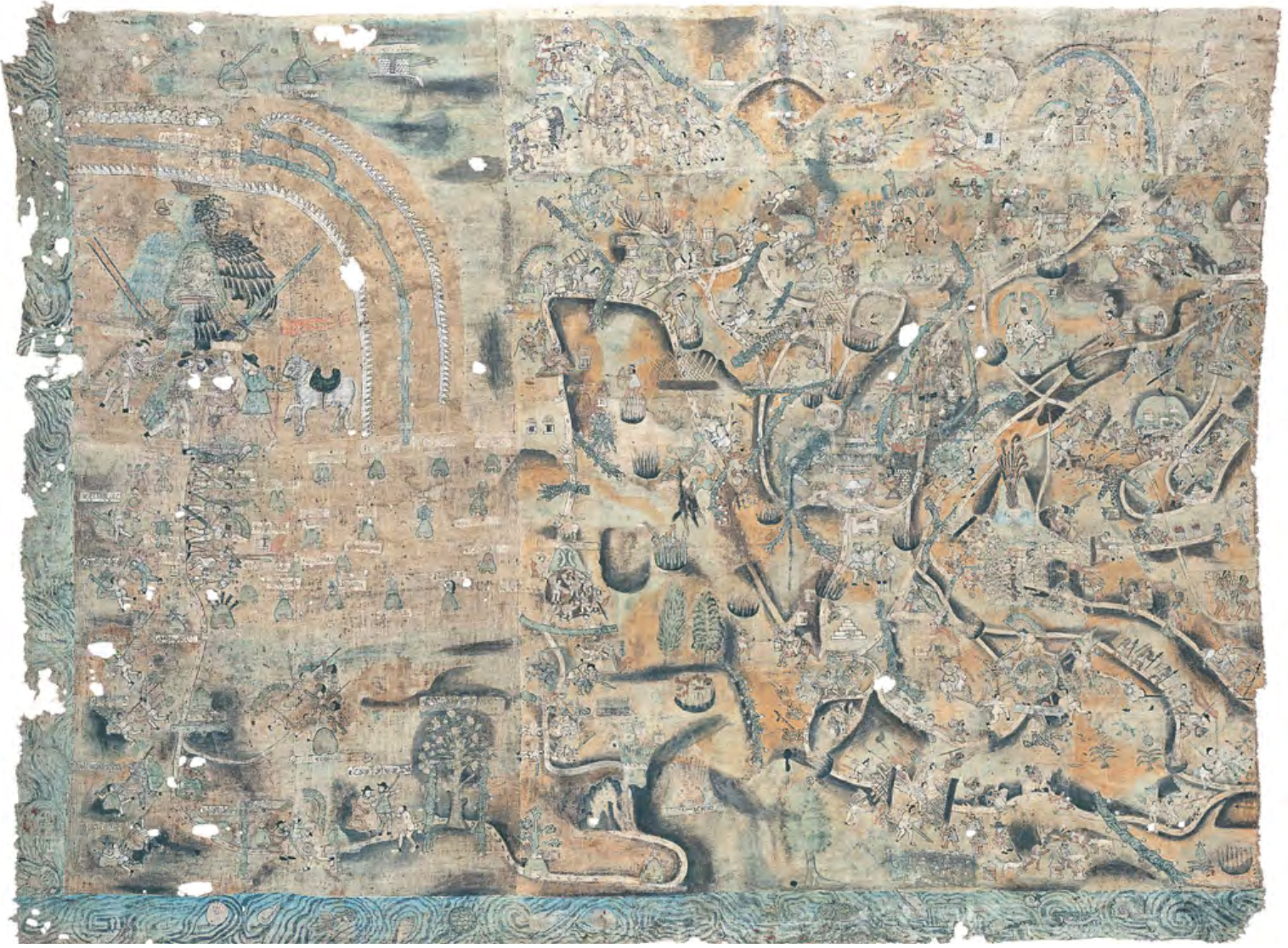
LIENZO DE QUAUHQUECHOLLAN
Map 1500 - 1599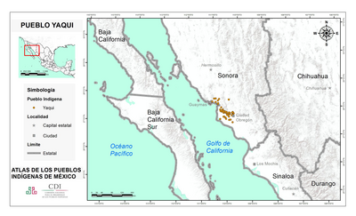
PUEBLO YAQUI
Map 2020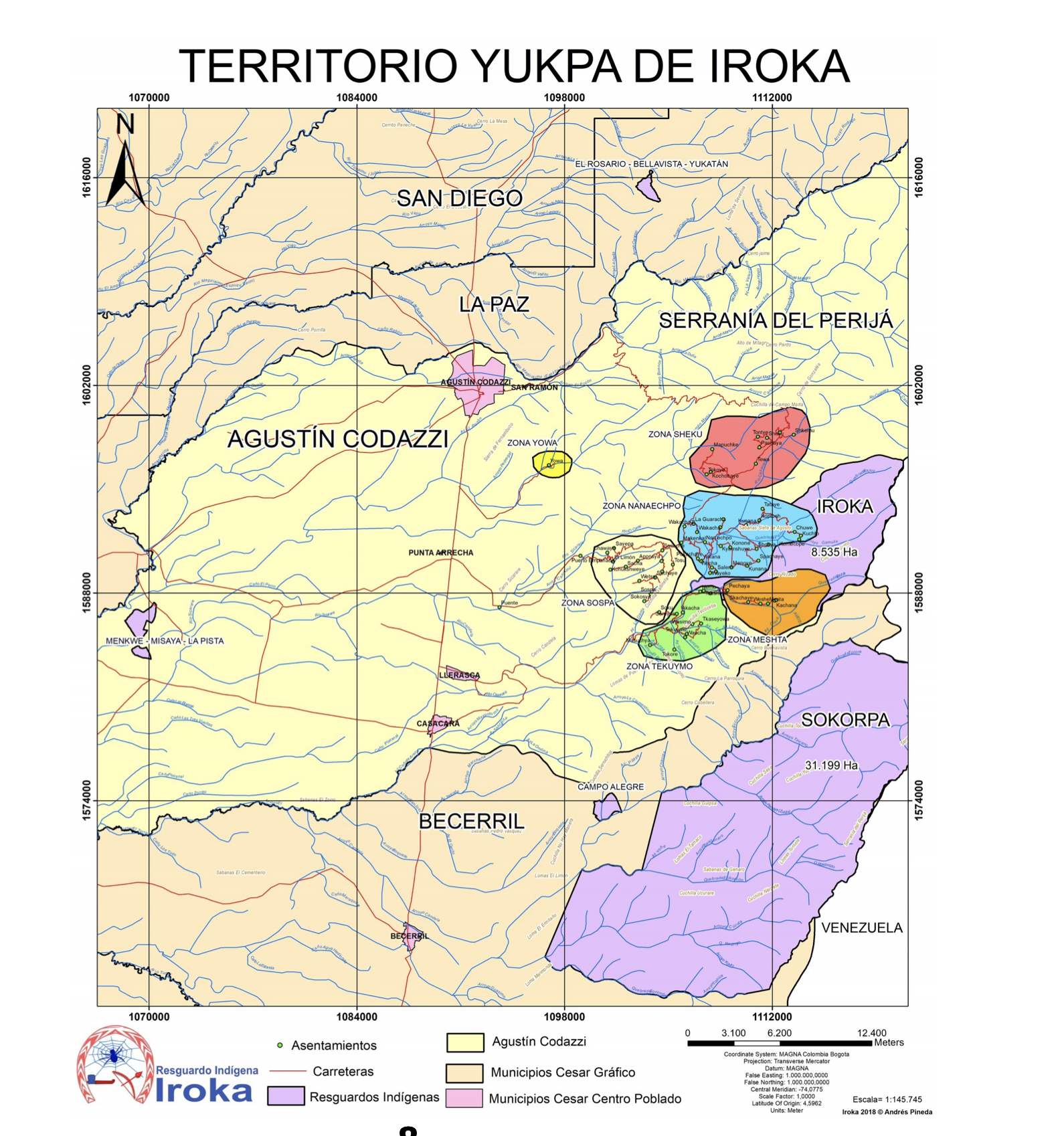
TERRITORIO DE YUKPA DE IROKA
Map 2018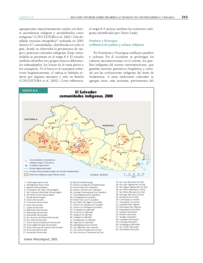
El Salvador: comunidades indígenas. 2000
Map 2000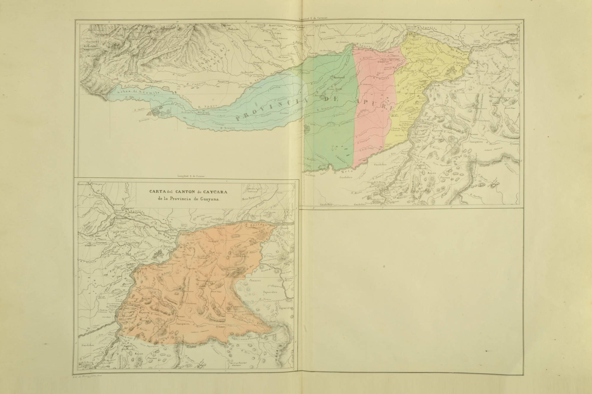
CARTA del CANTON de CAYCARA de la Provincia de Guayana
Map 1840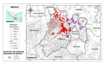
MÉXICO
Map 2015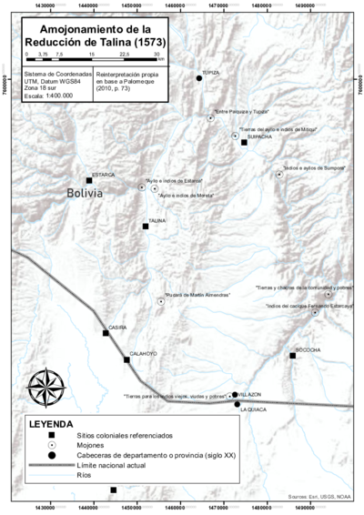
DEMARCACIÓN DE LÍMITES DEL PUEBLO REAL DE INDIOS (REDUCCIÓN) DE TALINA (1573)
Map 1573