Peoples
- CARIBES
- INDIOS
Citation
Geographic map of the NIcaragua: with three plans and views. Fermin Ferrer;Governor of the Western Department. 1855. Gallica. https://gallica.bnf.fr/ark:/12148/btv1b53171838v/f1.item.zoom#.AccessedJuly212023
MULTI-ETHNIC TERRITORY under INCA DIRECT RULE: THE LOWER VALLEY OF COCHABAMBA in the 1530s
Map 1520
MAPA ÉTNICO DEL RÍO DE LA PLATA
Map 1500 - 1900
BRAZIL
Map 1905![Karaiw A'e Wà (Os Civilizados) [The Civilized]](https://dnet8ble6lm7w.cloudfront.net/art_sm/ABRA052-0.png)
Karaiw A'e Wà (Os Civilizados) [The Civilized]
Artwork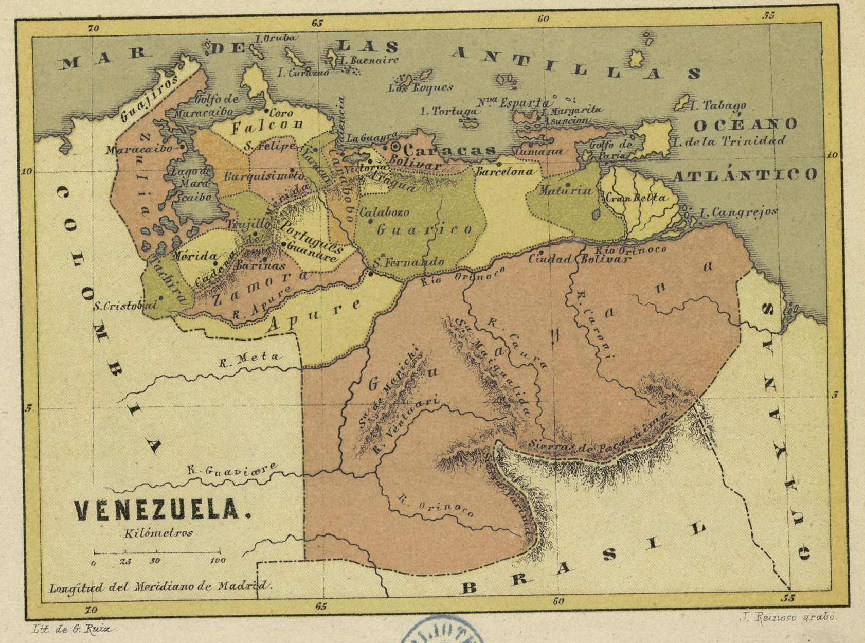
VENEZUELA
Map 1878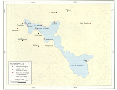
Sitios arqueológicos del Lago de Amatitlán, con lugares de ofrendas acuáticas.
Map 2011
A Map of part of Yucatan or of that Part of the Eastern Shore Within the Bay of Honduras Alloted to Great Britain for the Cutting of Logwood, in consequence of the Convention Signed with Spain on the 14th July 1786.
Map 1700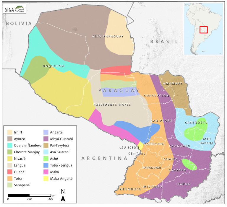
Paraguay Tribal Map
Map