Citation
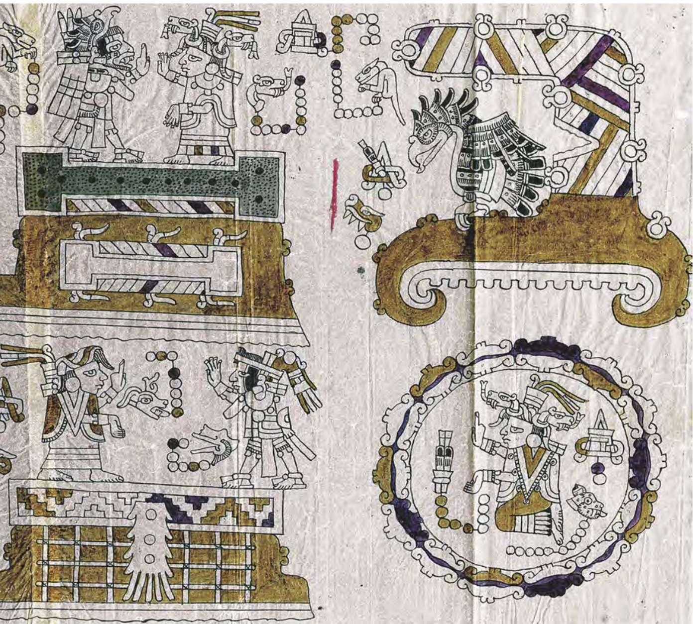
"García Redondo, José María. ""Estudio introductorio. Cartografía tradicional de los pueblos de México. Mapas indígenas y mestizos."" In El primer mapa de México, 11-41. N.p.: Fomento Cultural Grupo Salinas, 2021." https://digital.csic.es/bitstream/10261/271989/1/Estudio_introductorio.pdf
![Eclipse Solar [Solar Eclipse]](https://dnet8ble6lm7w.cloudfront.net/art_sm/AECU002.png)
![Ordalía: el fin del cuerpo [Ordeal: The End of the Body]](https://dnet8ble6lm7w.cloudfront.net/art_sm/ACOL015.png)
![Mi vida, tu vida [My Life, Your Life]](https://dnet8ble6lm7w.cloudfront.net/art/ACOL027.jpg)