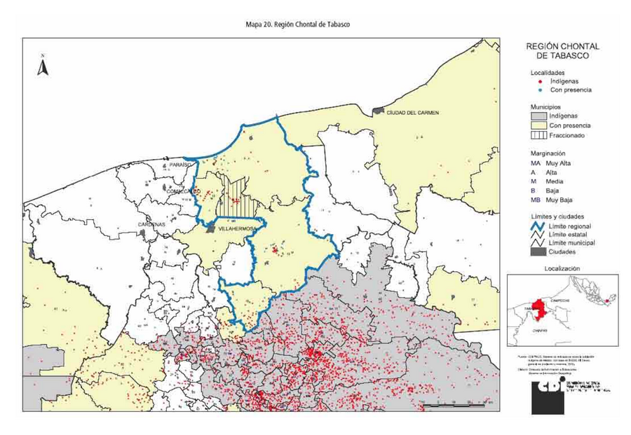
Peoples
- CHONTAL DE TABASCO
Citation
Comisión Nacional para el Desarrollo de los Pueblos Indígenas. Regiones indígenas de México. Publication no. 330.972. 2006. https://www.gob.mx/cms/uploads/attachment/file/35735/cdi-regiones-indigenas-mexico.pdf.
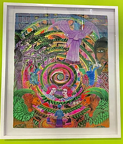
Ursa Tuquina, Black Light
Artwork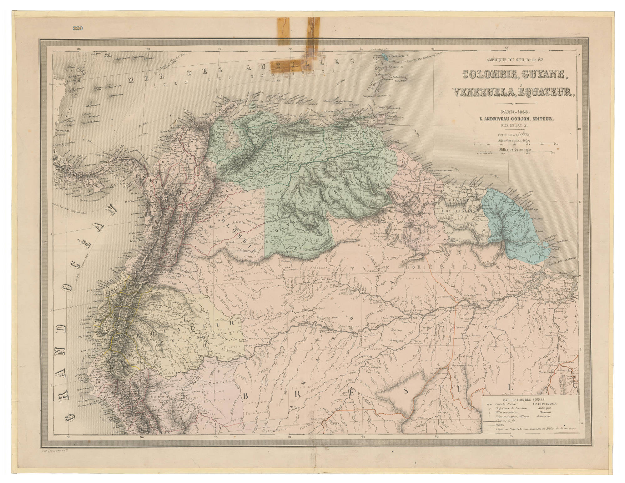
COLOMBIE;GUYANE;VENEZUELA;ÉQUATEUR
Map 1868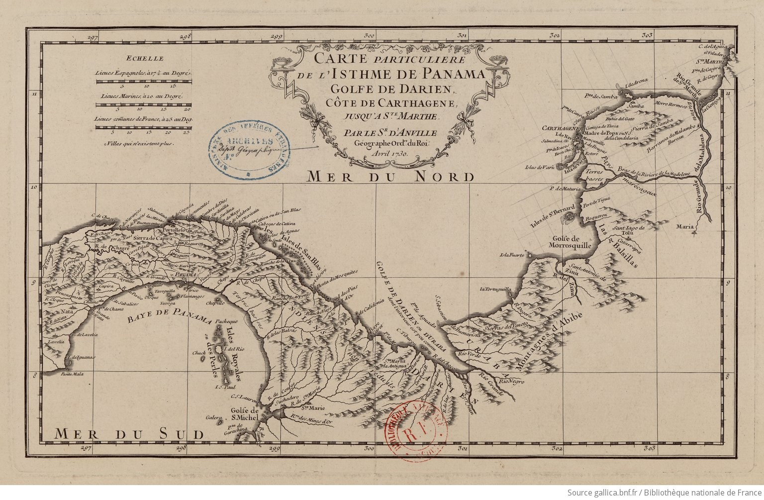
Carte particulière de l'isthme de Panama golfe de Darien, côte de Carthagene, jusqu'à Ste Marthe / par le Sr d'Anville,…
Map 1730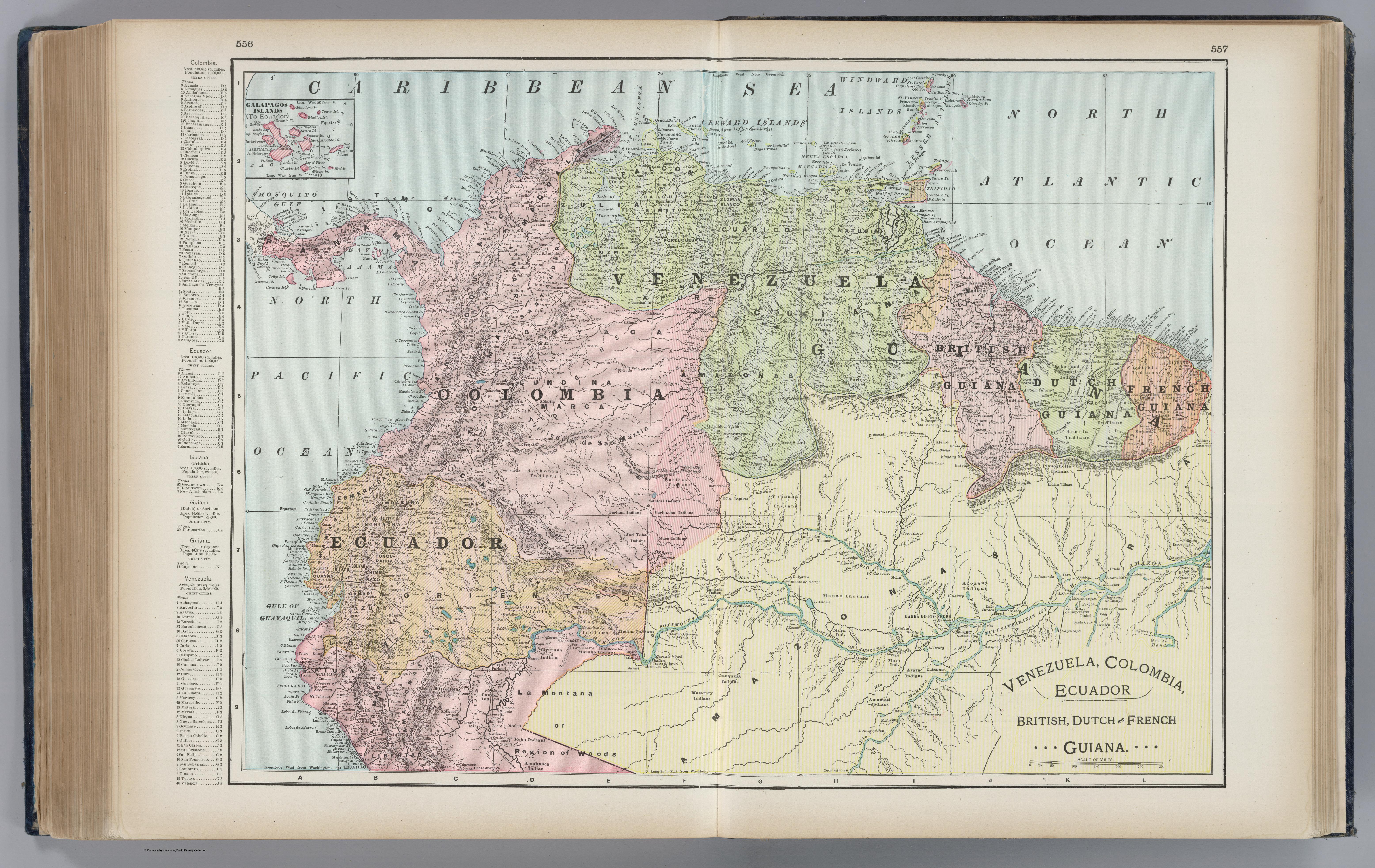
Venezuela, Colombia, Ecuador;British, Dutch, and French Guiana
Map 1901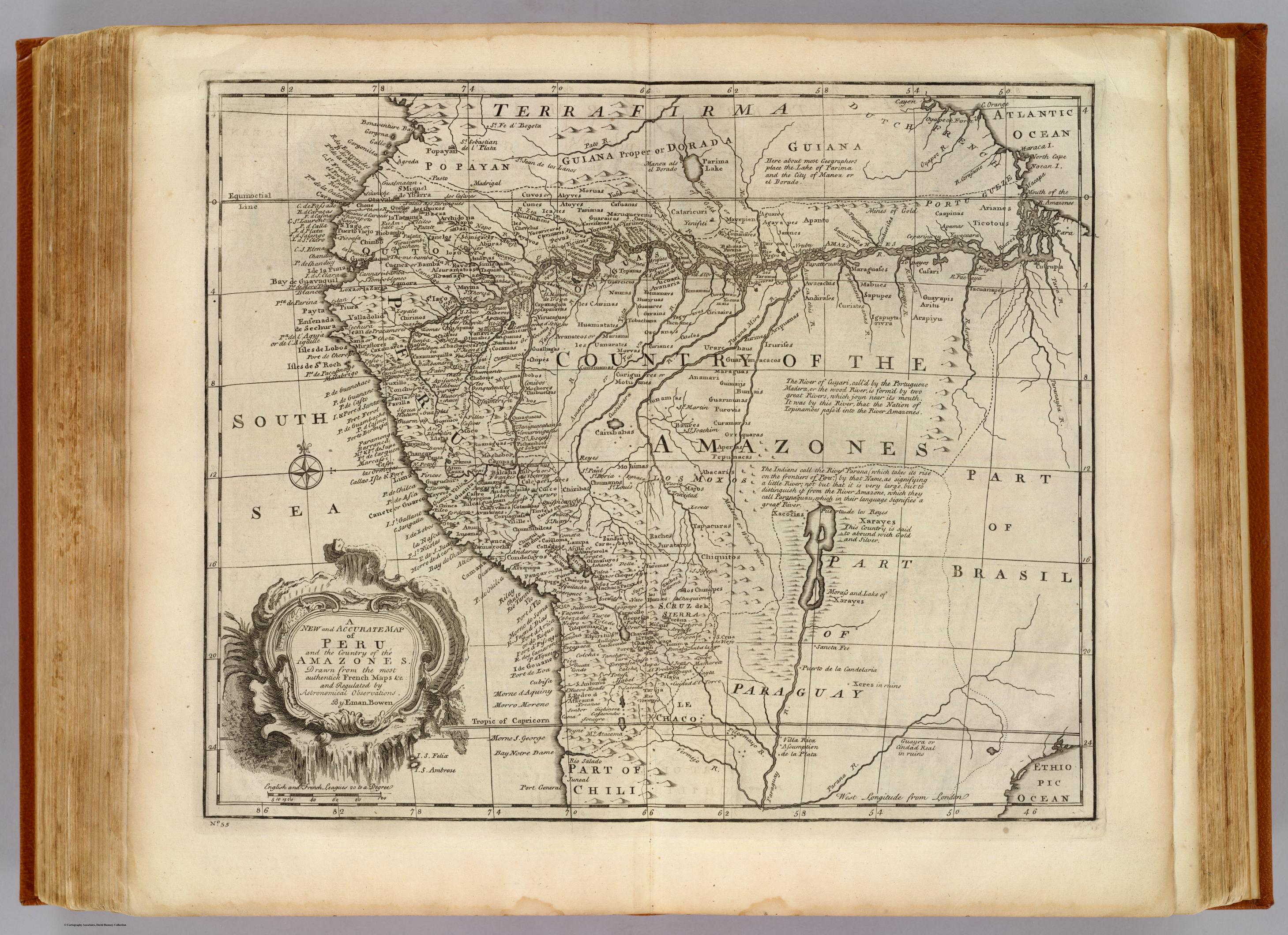
Peru, Amazones
Map 1747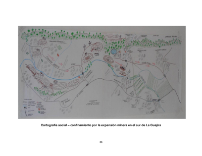
Cartografía social – confinamiento por la expansión minera en el sur de La Guajira
Map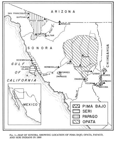
Map of Sonora, Showing Historic Location of Pima Bajo, Opata, Papago, and Seri Indians in 1960
Map 1960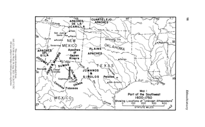
Part of the Southwest 1600-1750 Showing Locations of "Unknown Athapaskans"
Map 1600 - 1750