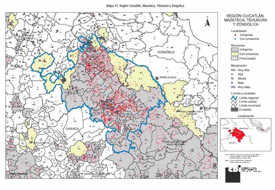
Peoples
- MAZATEC
Citation
Comisión Nacional para el Desarrollo de los Pueblos Indígenas. Regiones indígenas de México. Publication no. 330.972. 2006. https://www.gob.mx/cms/uploads/attachment/file/35735/cdi-regiones-indigenas-mexico.pdf.
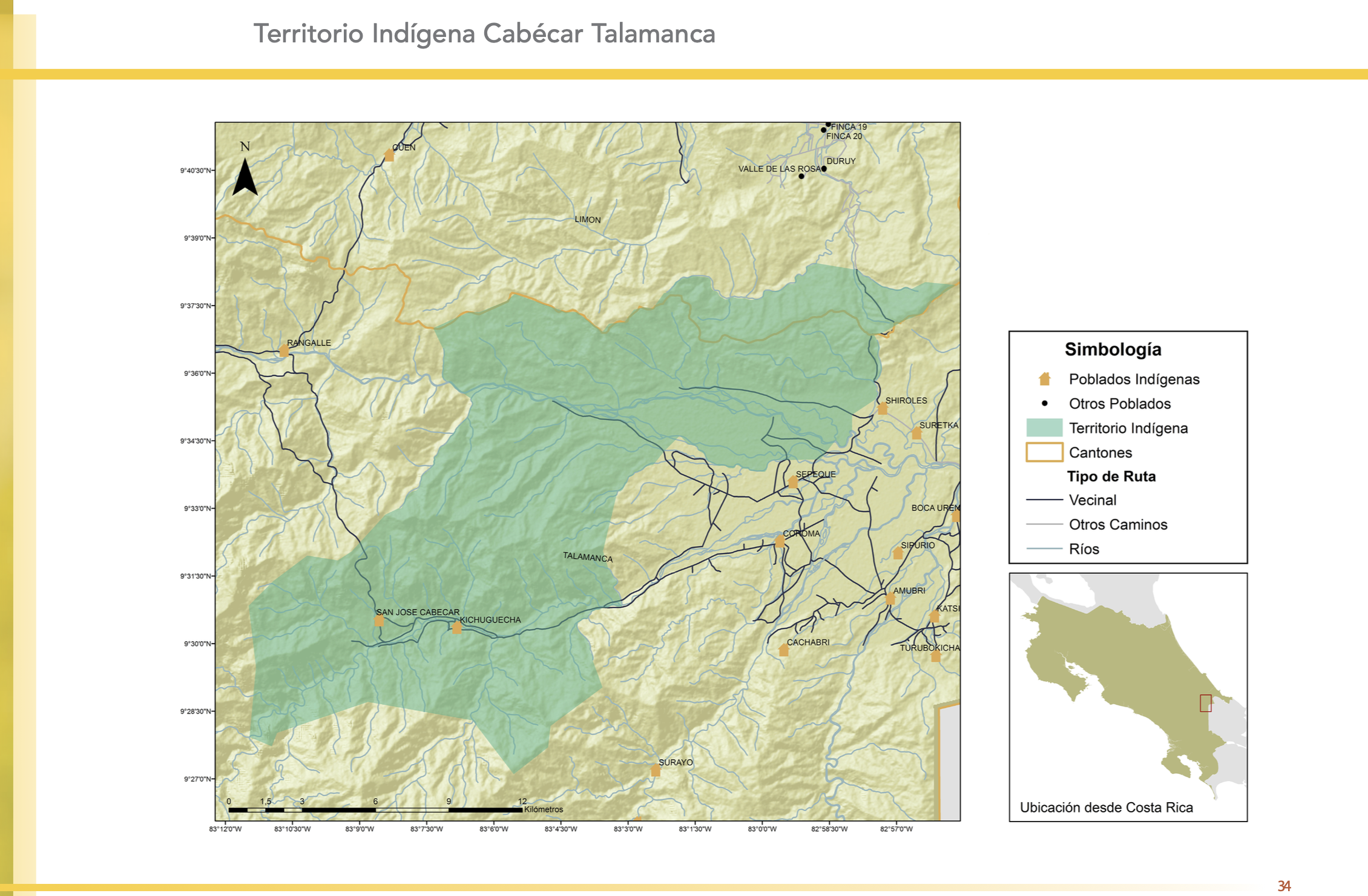
"Territorio Indígena Cabécar Talamanca"
Map 2010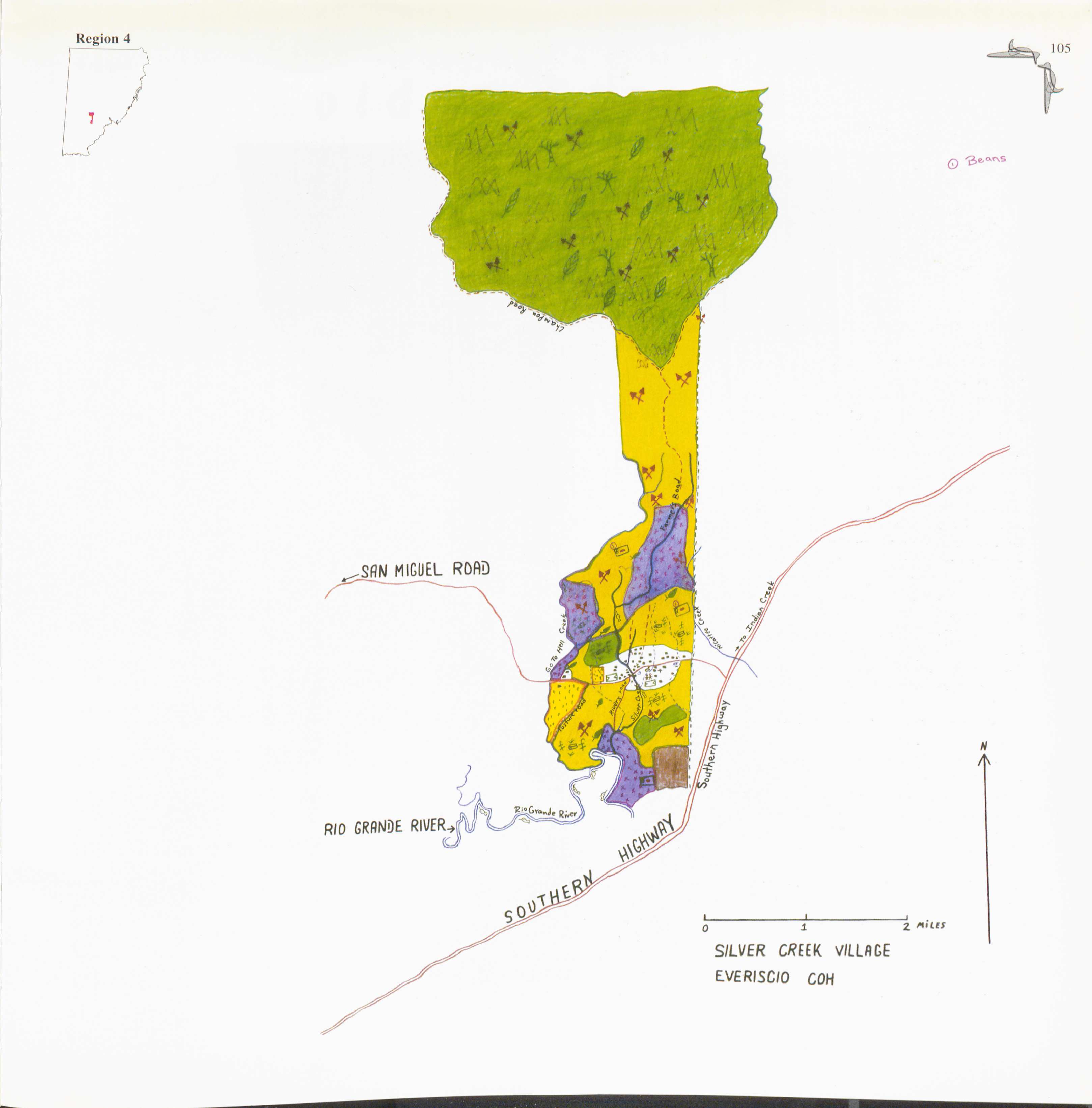
Silver Creek
Map 1997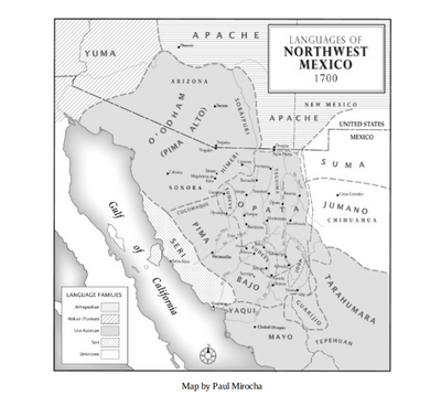
Languages of Northwest Mexico
Map 1700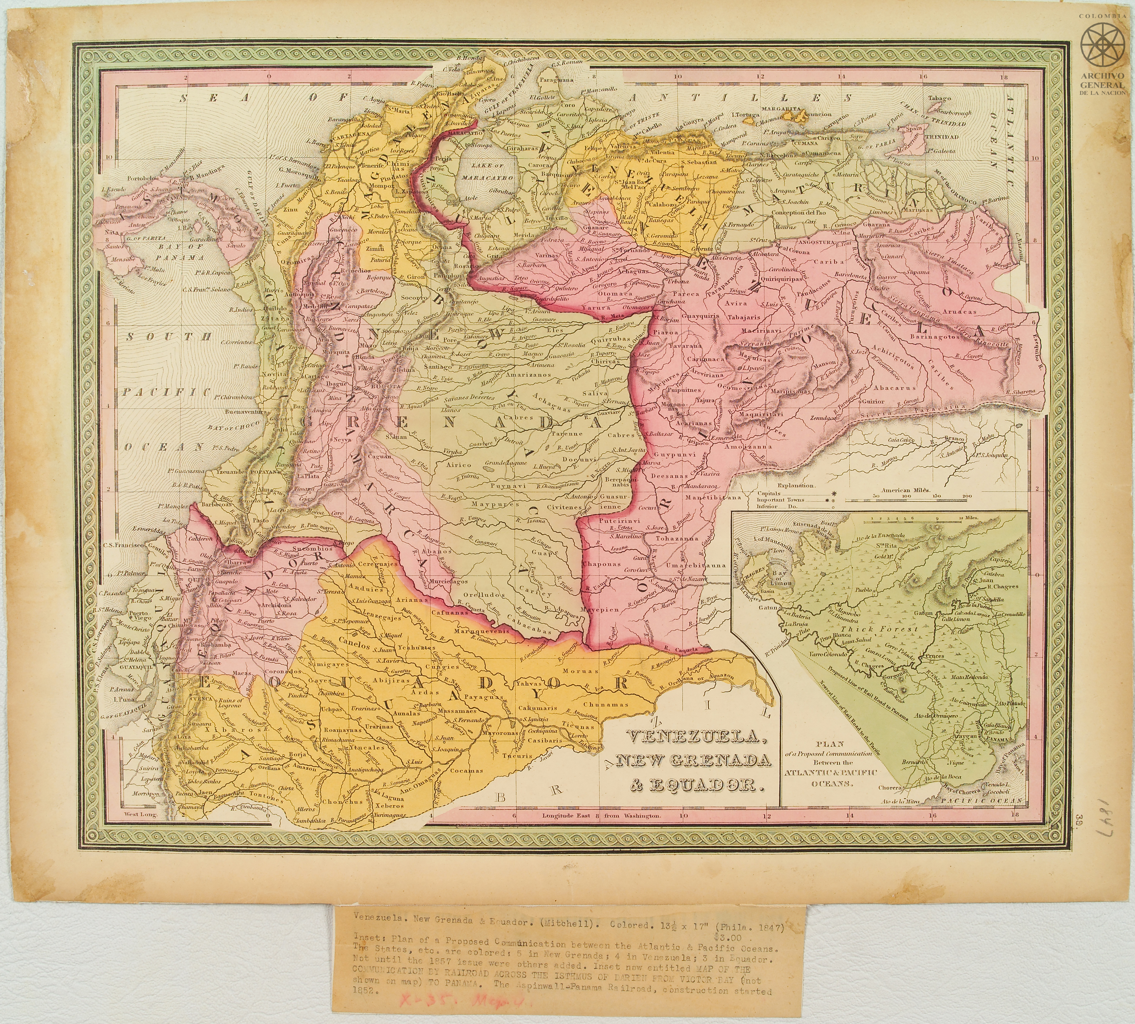
Venezuela;New Granada & Equador.
Map 1847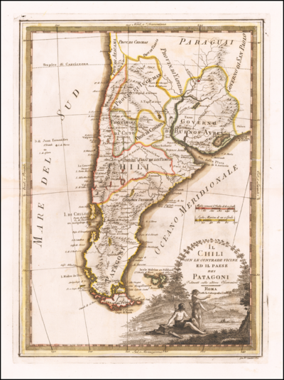
Il Chili con le contrade vicine ed il Paese dei Patagoni
Map 1700 - 1800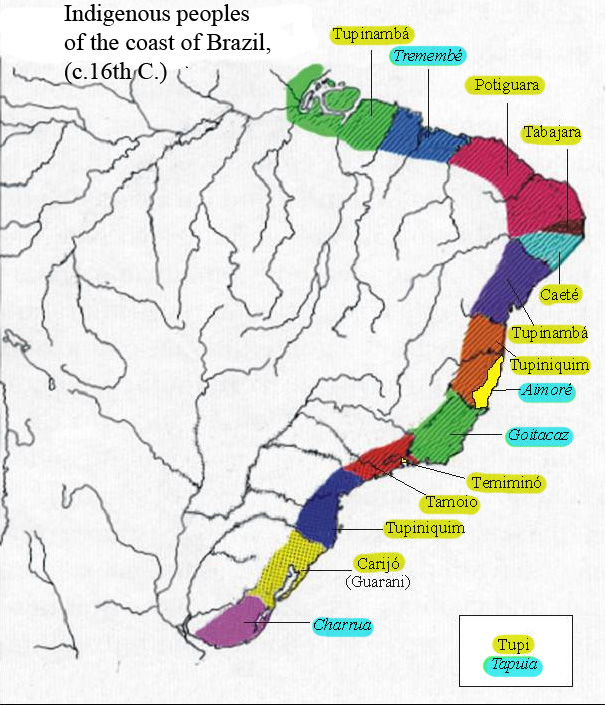
Indigenous peoples of the coast of Brazil, (c. 16th C.)
Map 1500 - 1599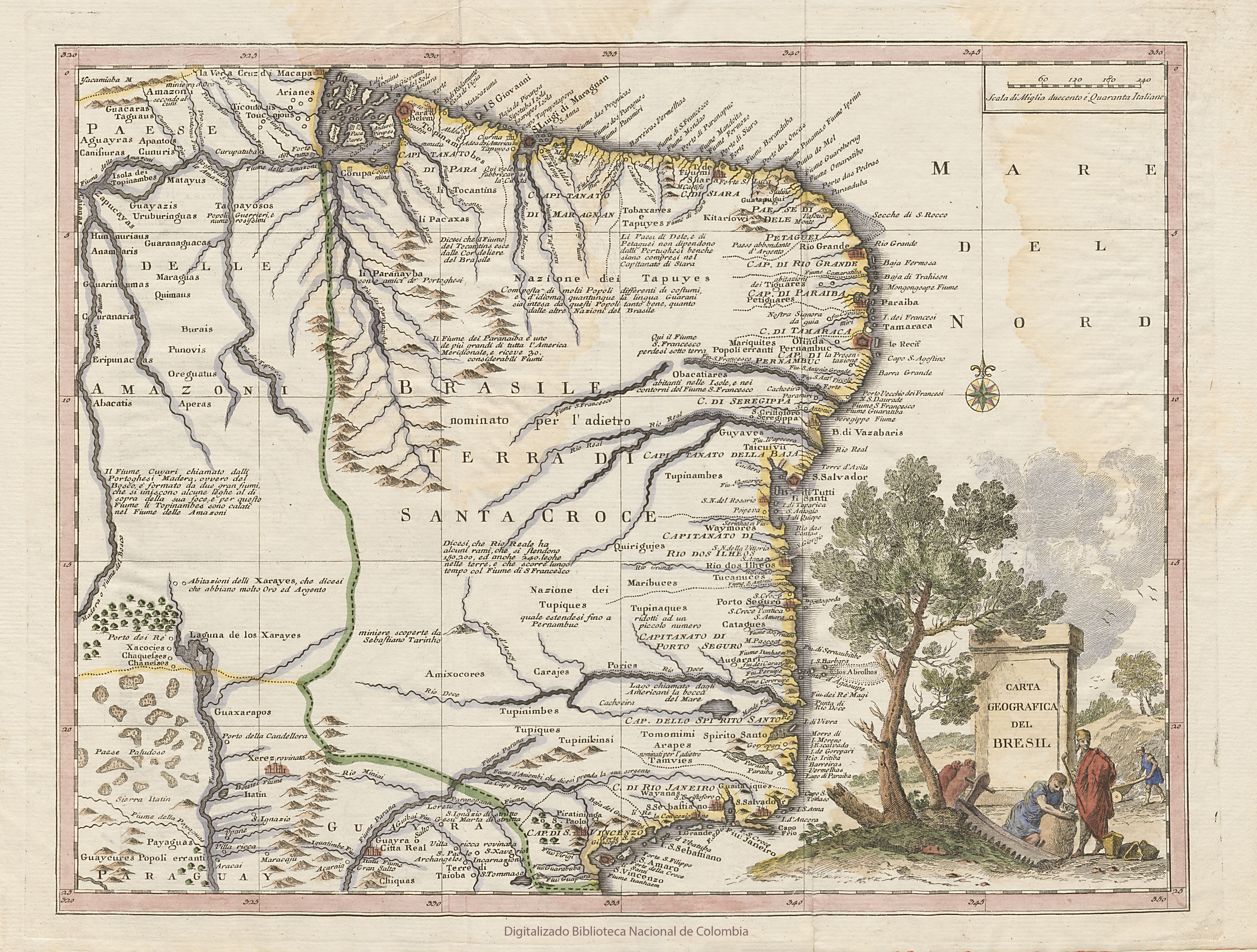
CARTA GEOGRAFICA DEL BRESIL
Map 1740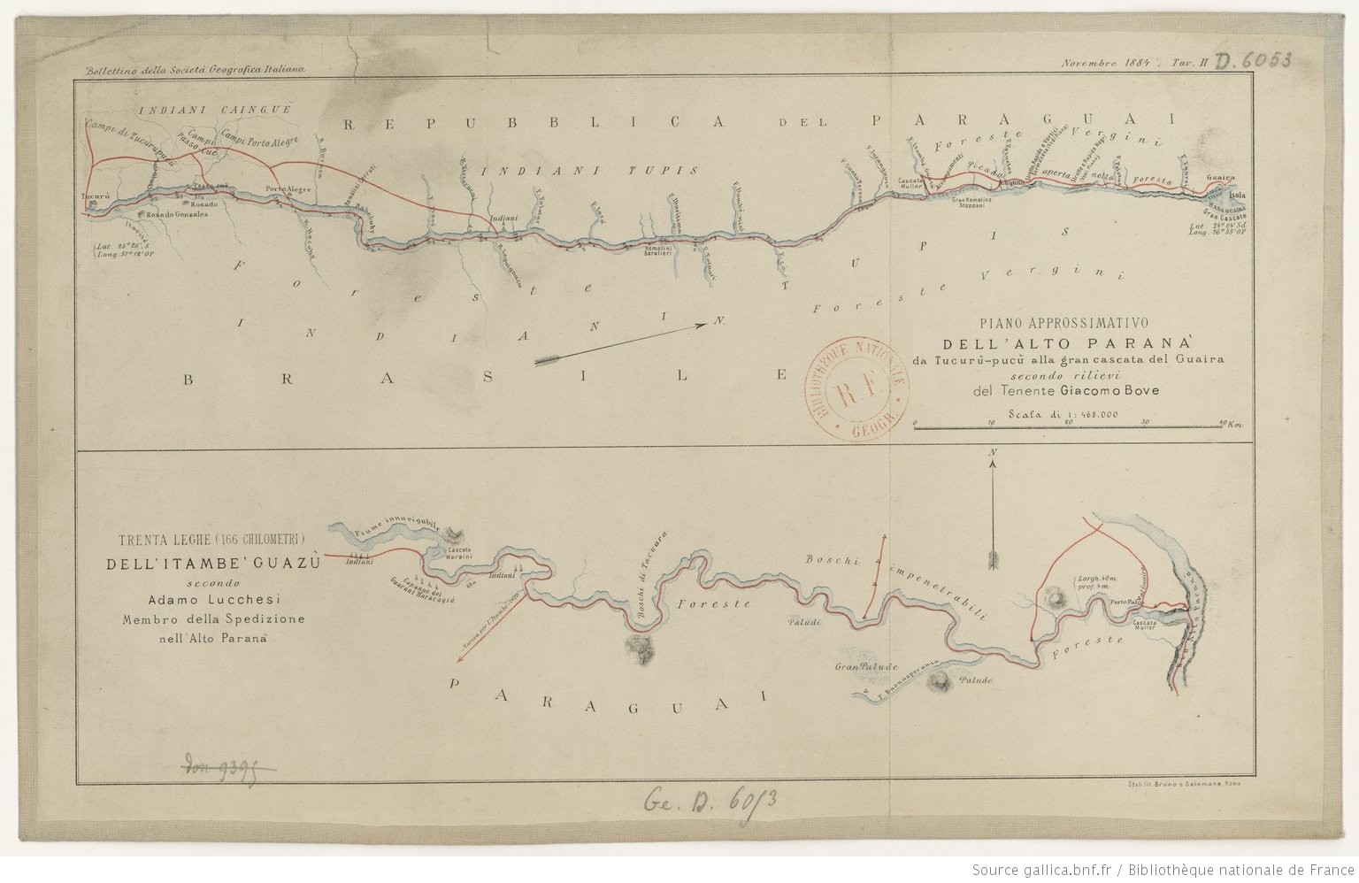
PIANO APPROSSIMATIVO DELL’ ALTO PARANA` da Tucurù-pucù alla gran cascata del Guaira
Map 1884