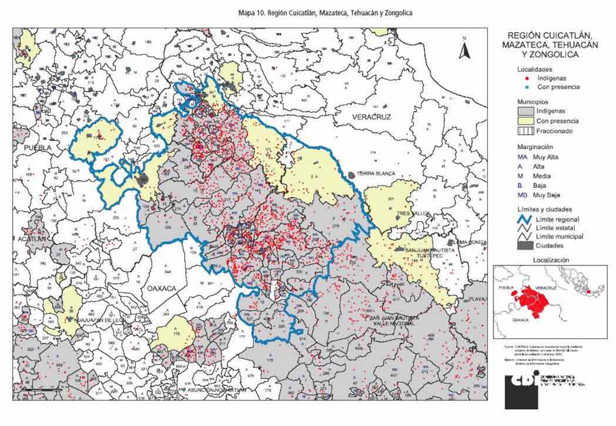
Peoples
- MAZATEC
Citation
Comisión Nacional para el Desarrollo de los Pueblos Indígenas. Regiones indígenas de México. Publication no. 330.972. 2006. https://www.gob.mx/cms/uploads/attachment/file/35735/cdi-regiones-indigenas-mexico.pdf.
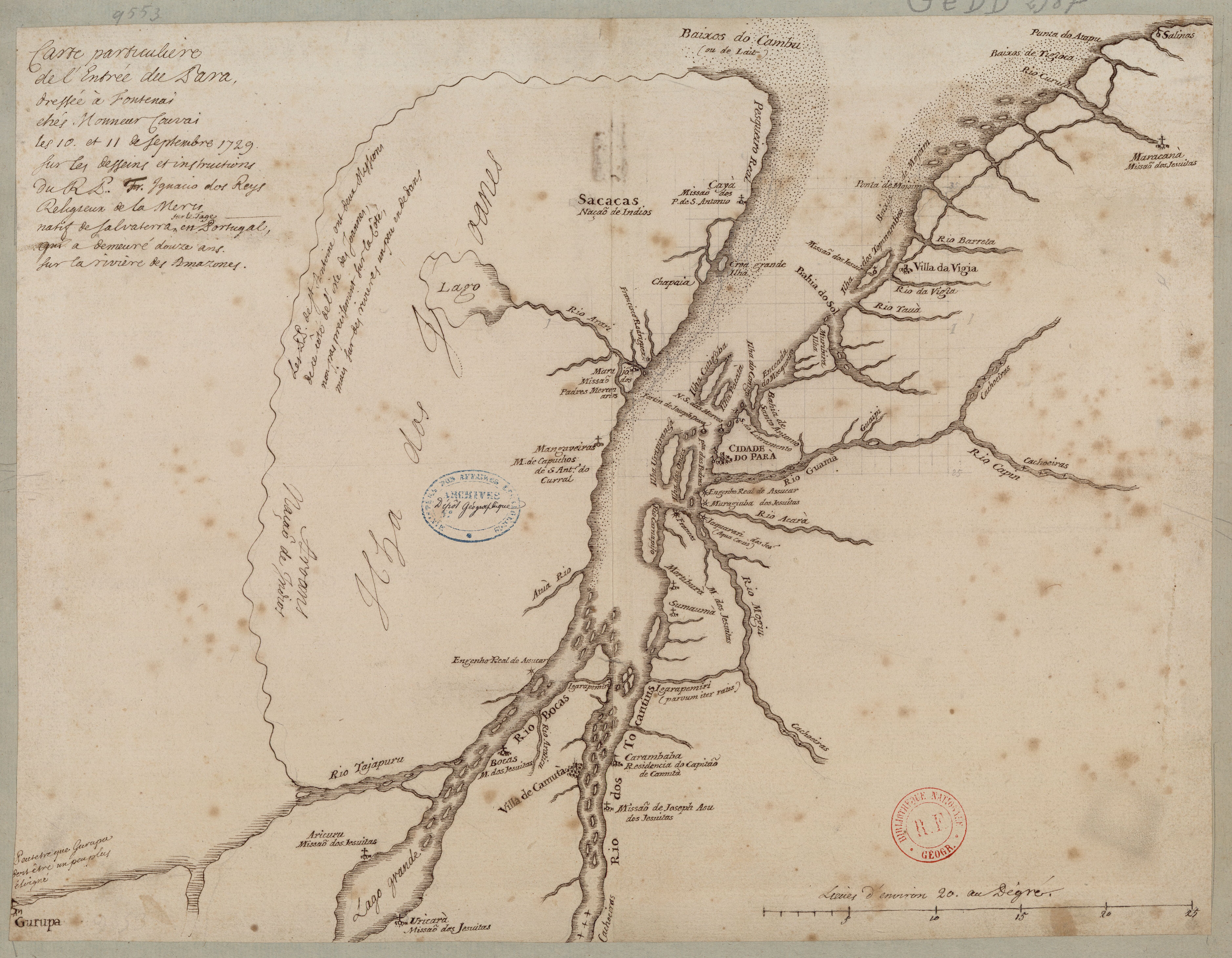
Carte particulière de l'entrée du Para
Map 1729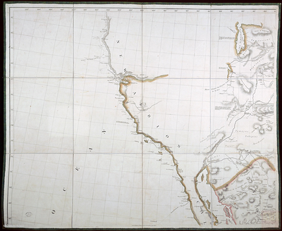
A New Map of Mexico and Adjacent Provinces Compiled From Original Documents
Map 1810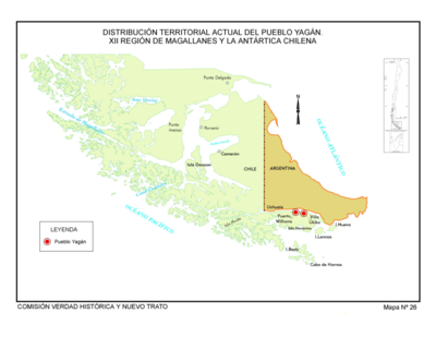
Distribución Territorial Actual del Pueblo Yagan. XXII Region de Magallanes y la Antártica Chile
Map 1993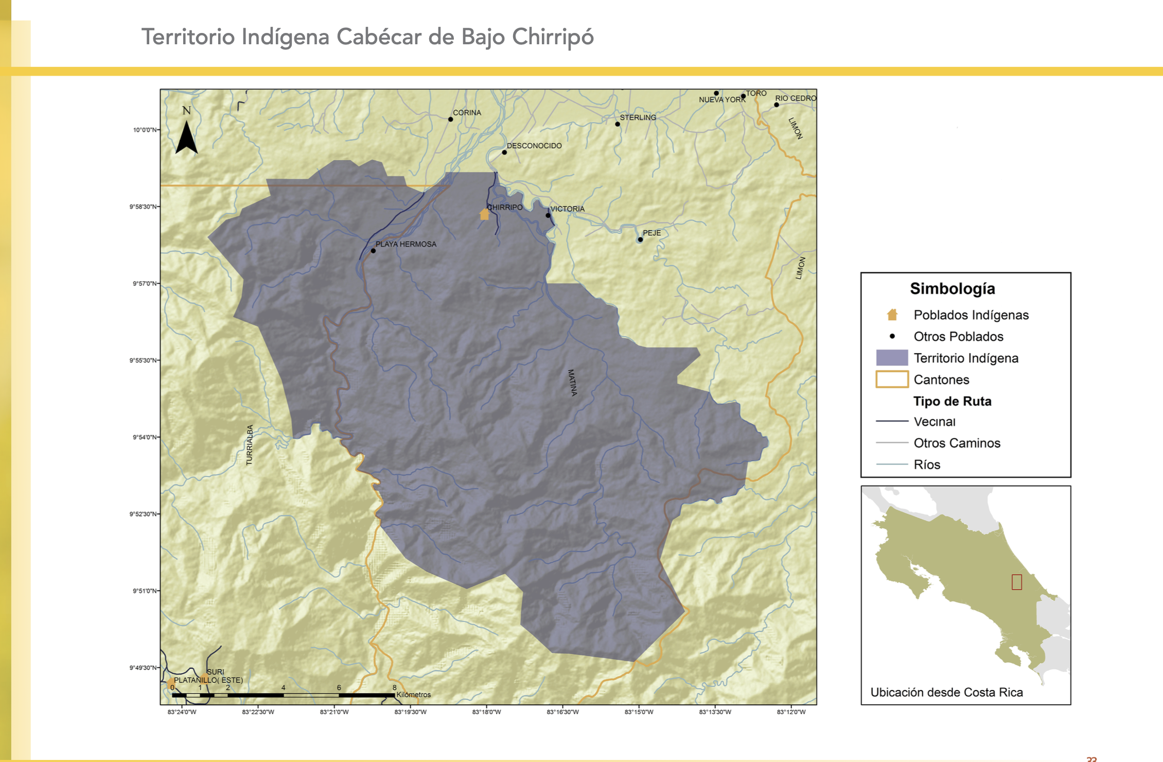
"Territorio Indígena Cabécar de Bajo Chrirripó"
Map 2010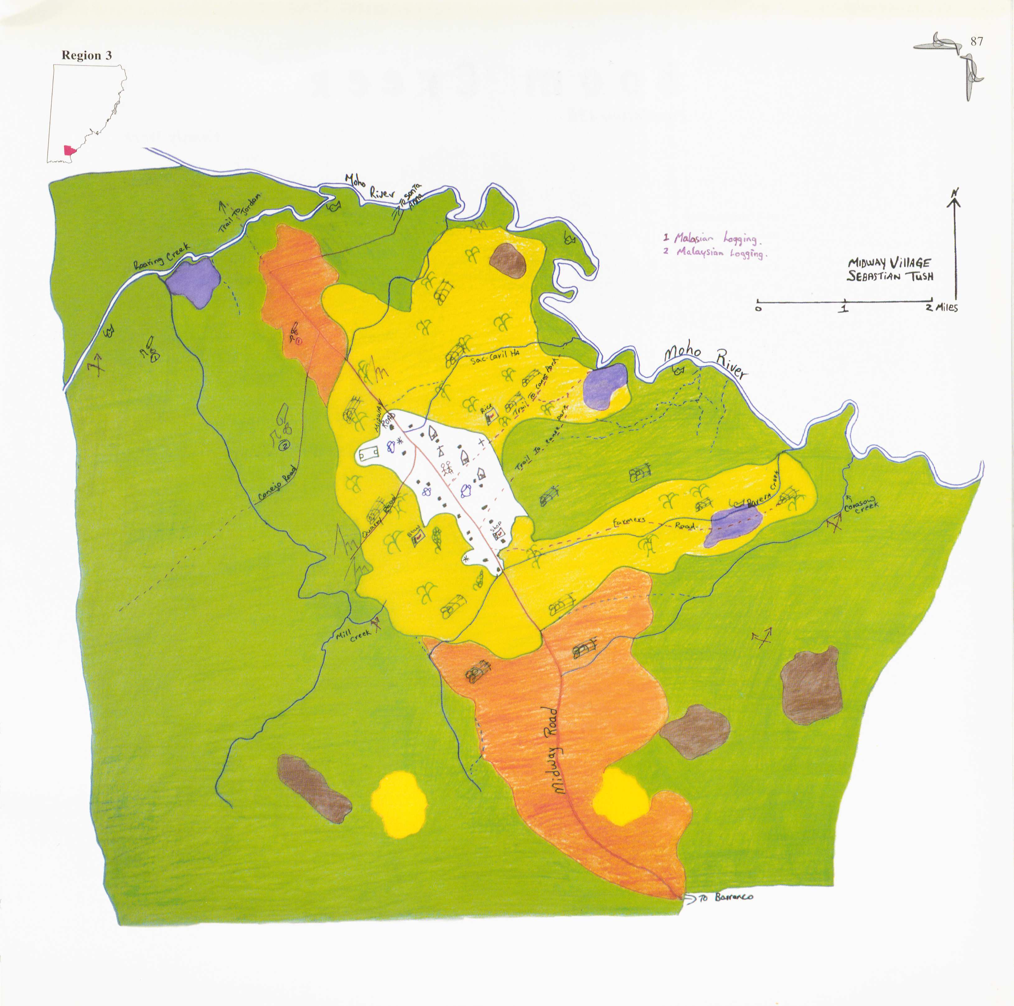
Midway
Map 1997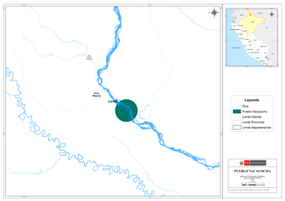
PUEBLO VACACOCHA
Map 2021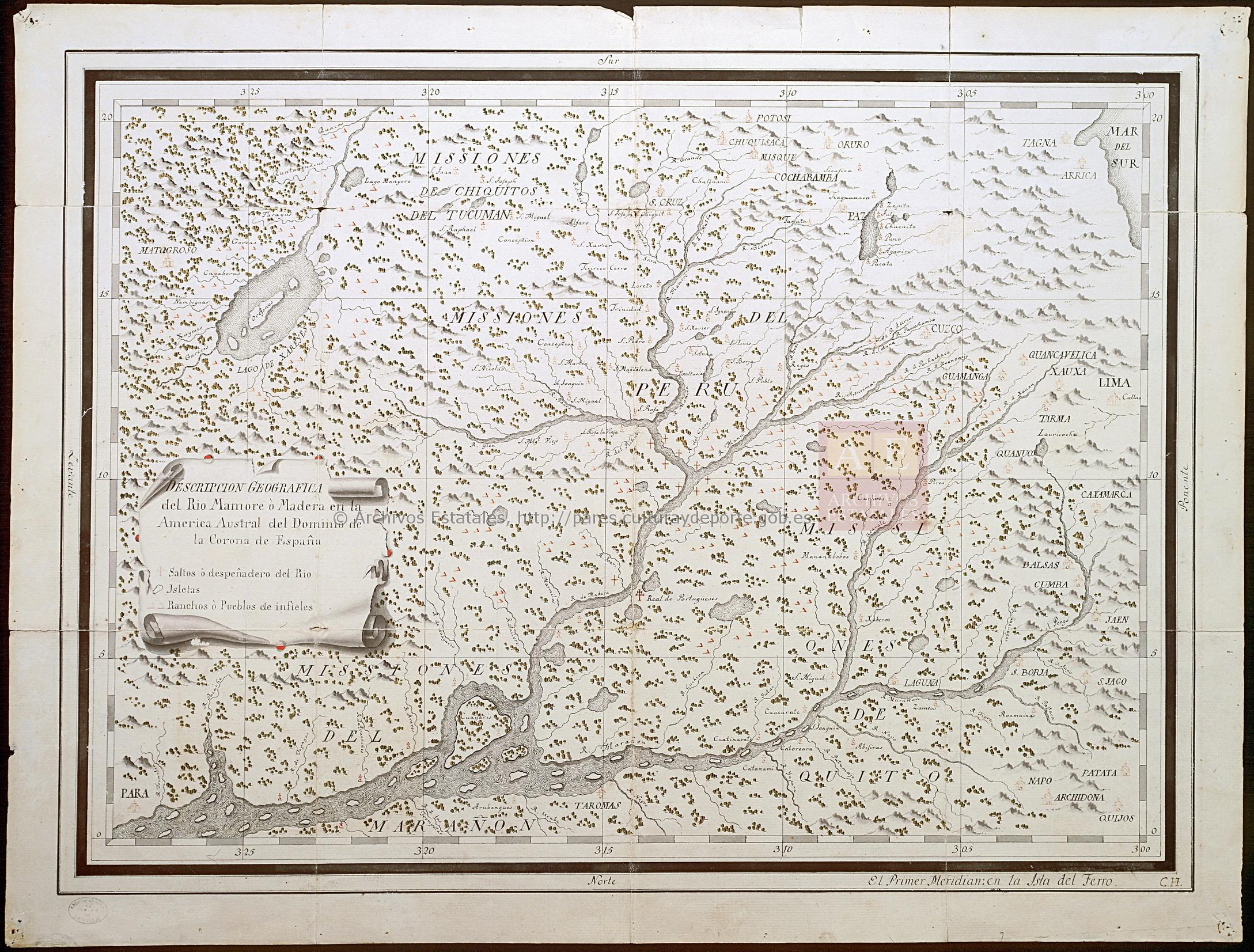
DESCRIPCIÓN GEOGRÁFICA DEL RIO MAMORE O MADERA EN LA AMERICA AUSTRAL DEL DOMINIO DE LA CORONA ESPAÑOLA
Map 1782
An exact draught of the river of Bellese as high as the Barcadares. A new draught of the bay of Honduras by Capt. Nathaniel Uring
Map 1726