
Peoples
- CUCAPA
- GUARIJIO
- MAYO
- PAPAGO
- PIMA
- SERI
- YAQUI
Citation
Instituto Nacional de los Pueblos Indígenas. "Distribución por Entidad Federativa." Atlas de los pueblos indígenas de México. http://atlas.inpi.gob.mx/distribucion-por-entidad-federativa/.
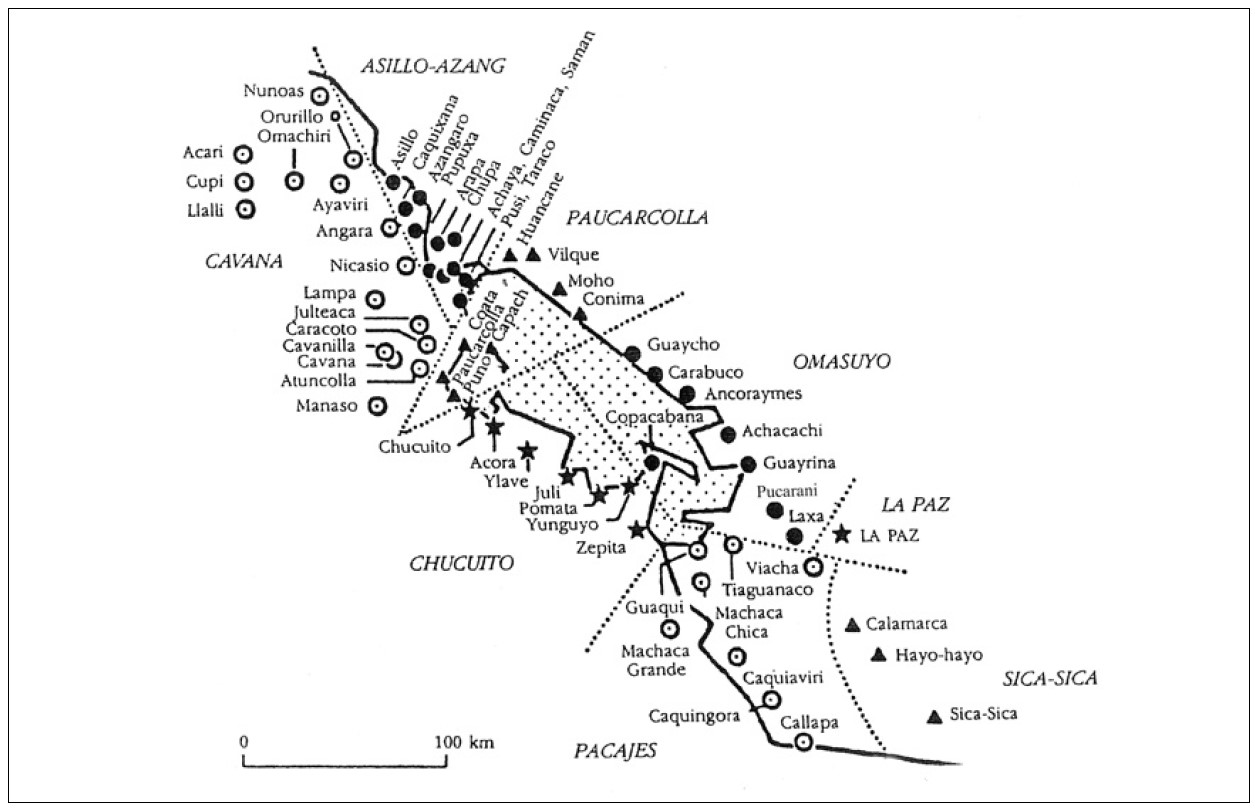
‘INDIAN ROYAL TOWNS’ (REDUCCIONES) AND PROVINCES (CORREGIMIENTOS) UNDER SPANISH COLONIAL RULE IN THE LATE 16TH CENTURY
Map 1570 - 1650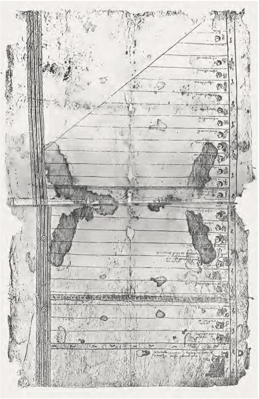
FRAGMENTO HUMBOLDT 2
Map 1500 - 1599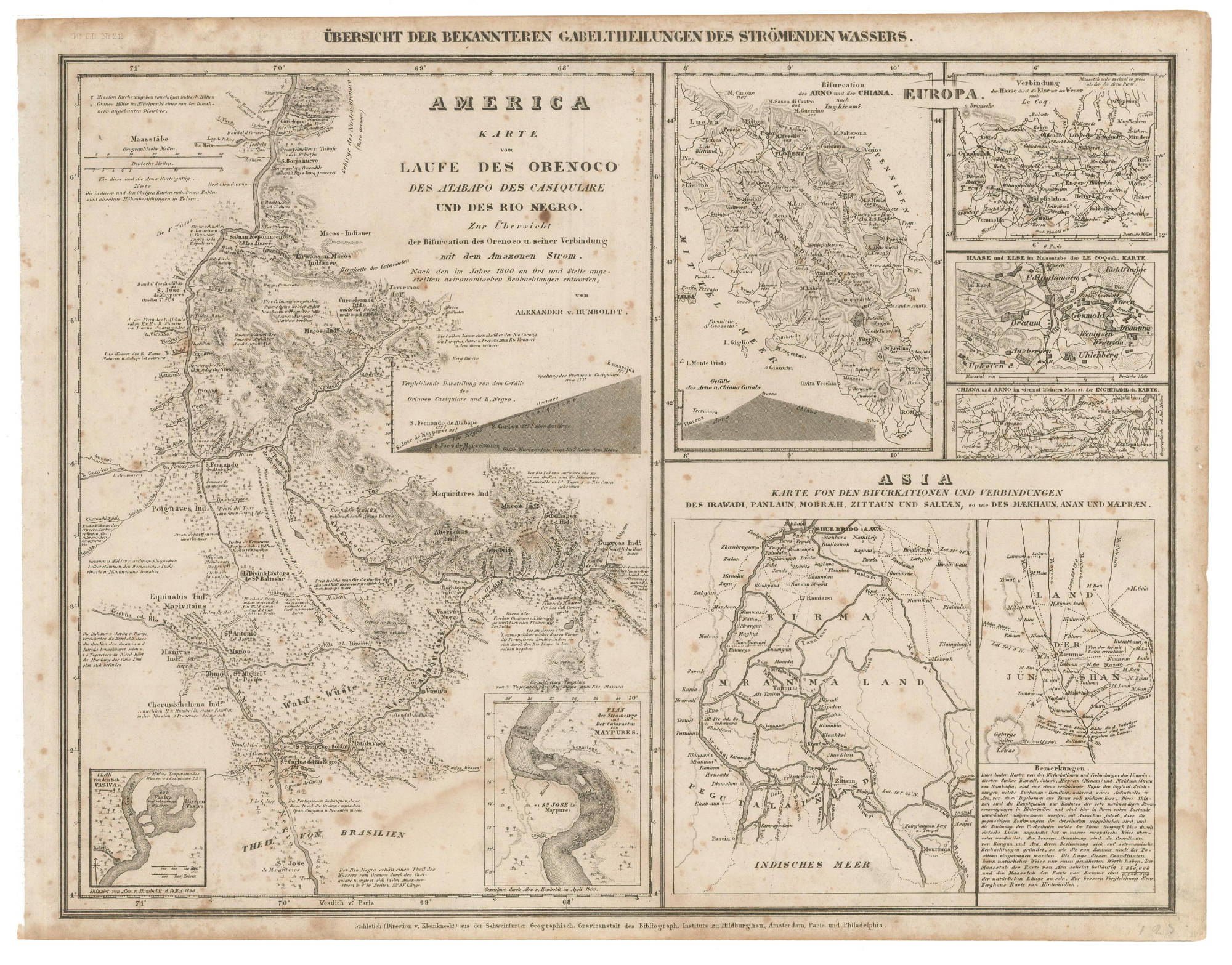
AMERICA KARATE VON LAUFE DES ORENOCO DES ATABAPO DES CASIQUIARE UND DES RIO NEGRO
Map 1850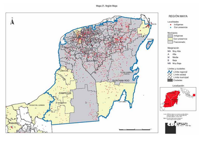
REGIÓN MAYA
Map 2000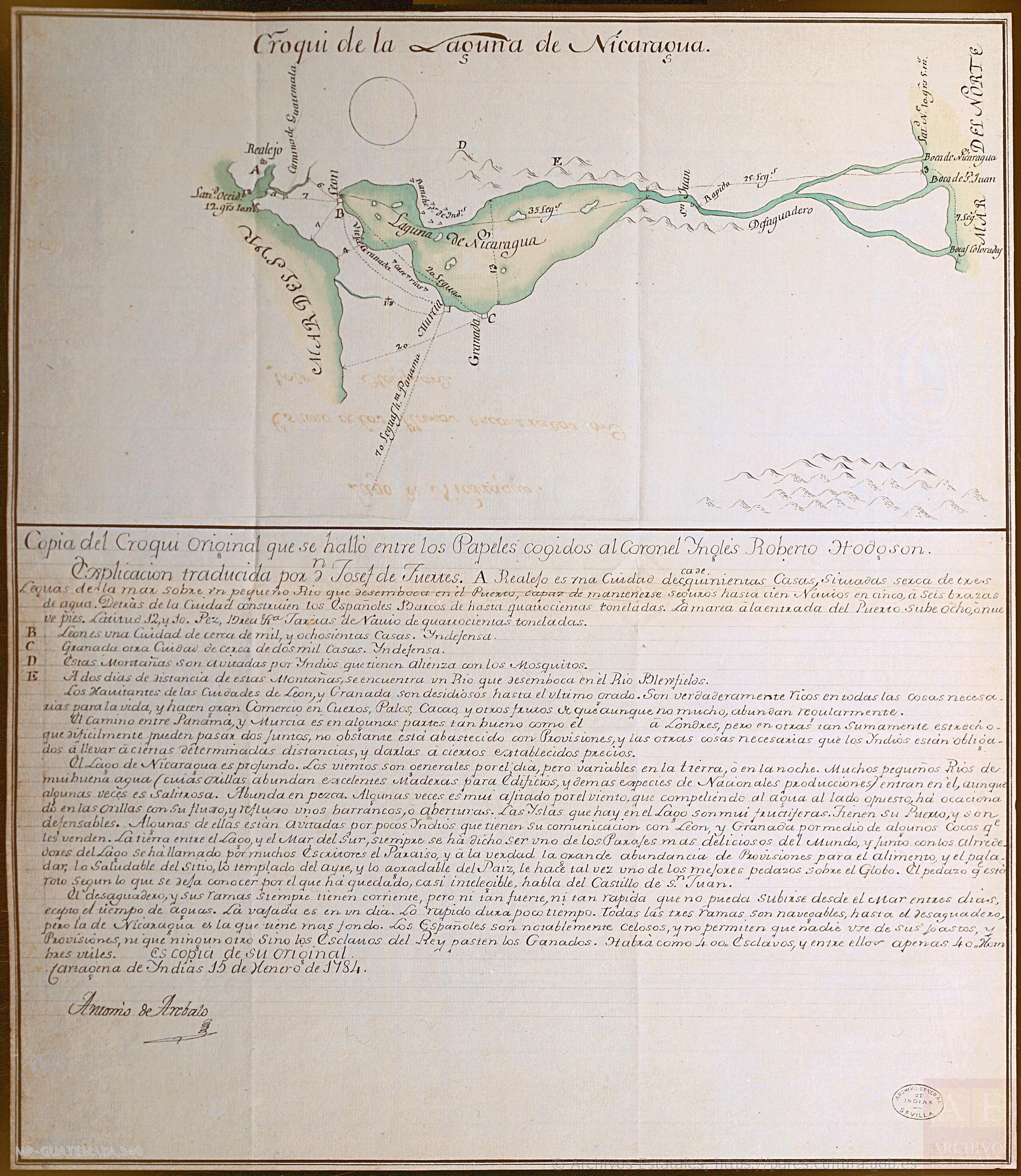
Croquis de la Laguna de Nicaragua
Map 1784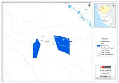
PUEBLO JÍBARO
Map 2021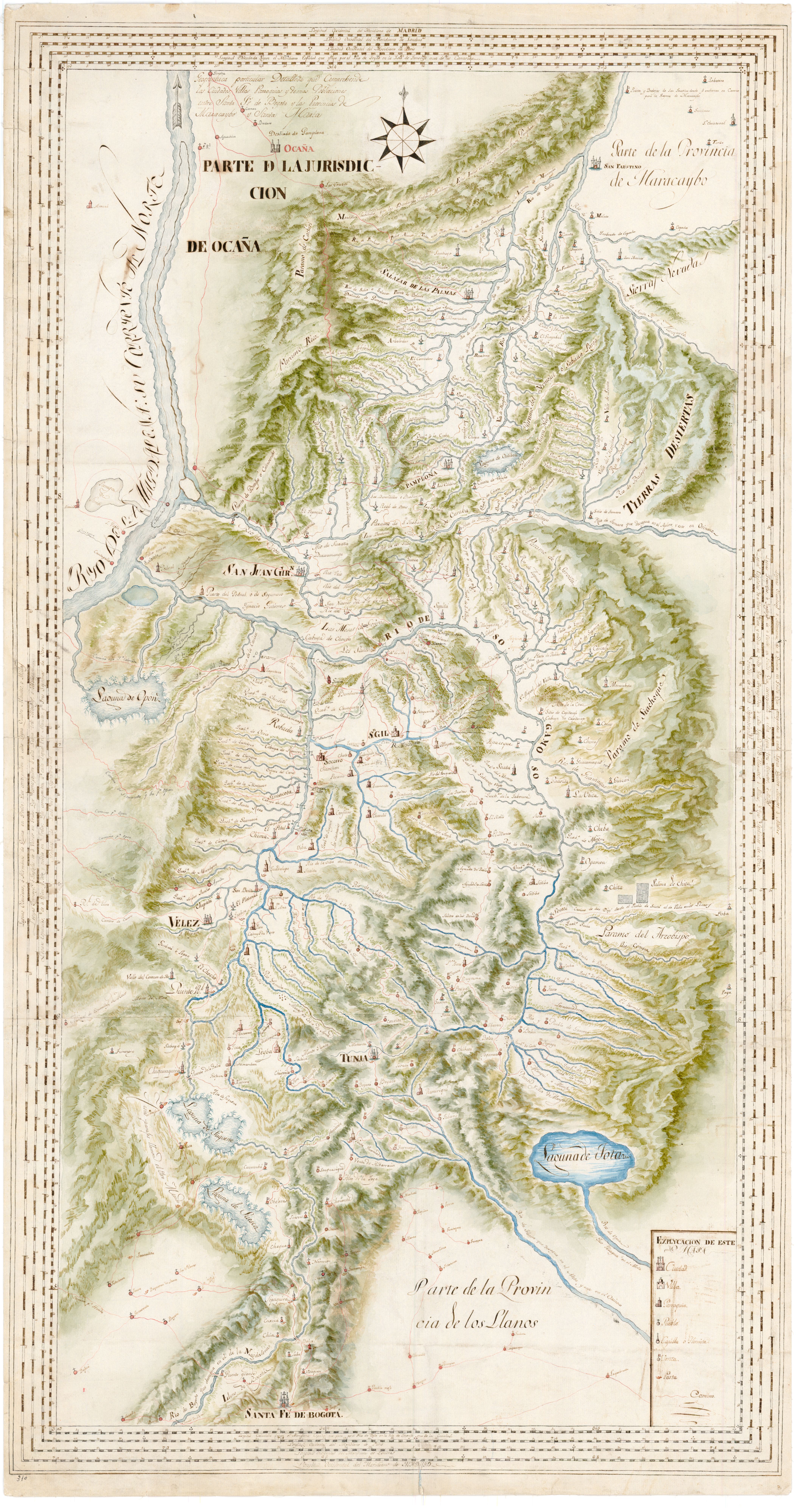
Geographica particular Detallada que Comprehende las Ciudades, Villas Parroquias y demas Poblaciones entre Santa Fé de Bogota y las Provincias de Maracaybo y Santa Marta
Map 1700 - 1799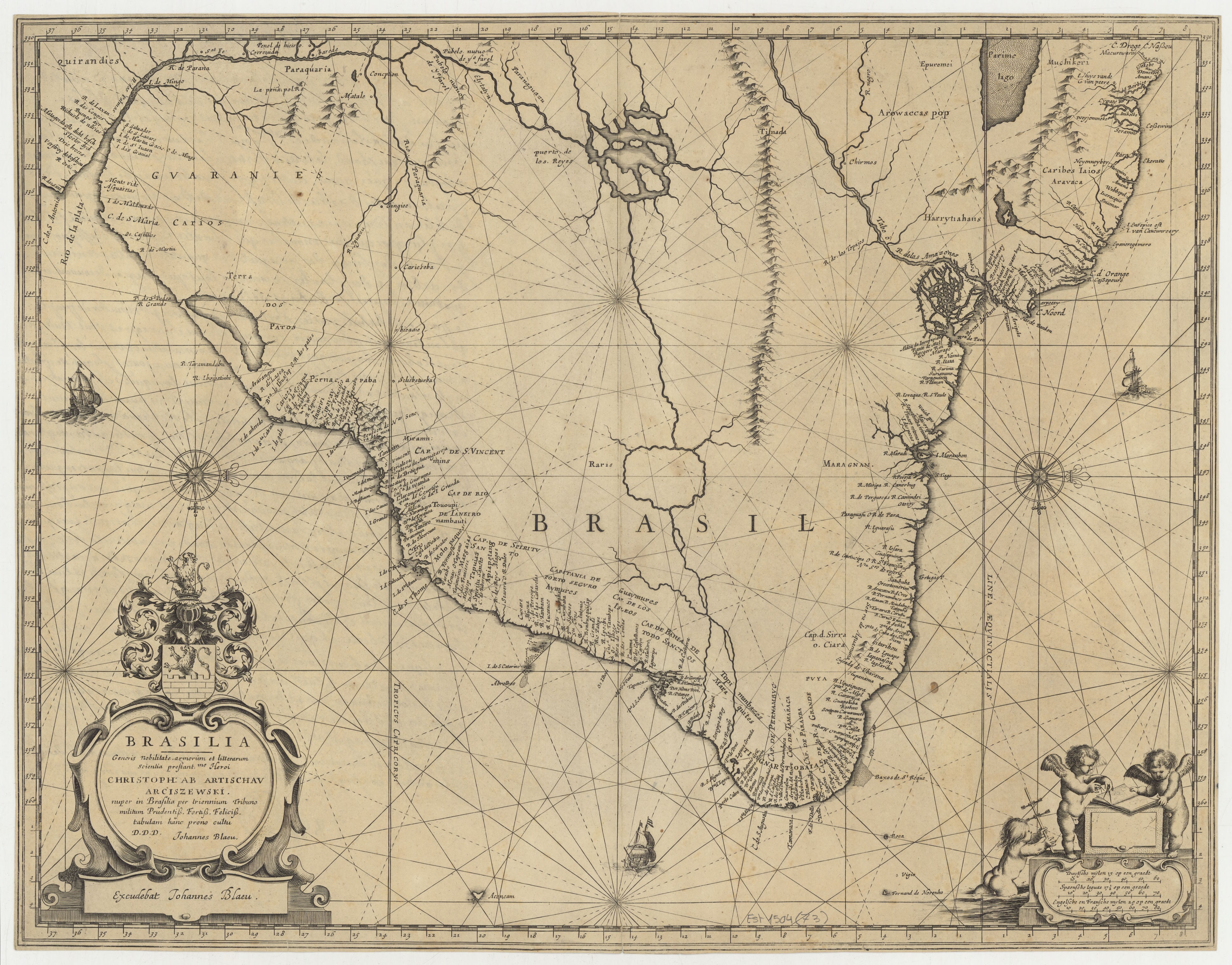
BRASILIA
Map 1662 - 1665