
Peoples
- MAZAHUA
- NAHUA
- OTOMI
- PUREPECHA
Citation
Instituto Nacional de los Pueblos Indígenas. "Distribución por Entidad Federativa." Atlas de los pueblos indígenas de México. http://atlas.inpi.gob.mx/distribucion-por-entidad-federativa/.

PUEBLO POPOLUCA DE LA SIERRA
Map 2020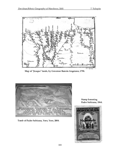
Map of "Jicaque" lands, by Governor Ramón Anguiano, 1798
Map 1798
Las tribus indígenas de las misiones
Map!["Mapa de lo principal de la Provincia de Nicaragua;su Laguna;y desagüe de ella;por el Río de San Juan;Poblasones [sic] de los enemigos Zambos e yngleses en Puntagorda y Mosquitos;y las costas y parajes;adonde hazen daños y prezas".](https://dnet8ble6lm7w.cloudfront.net/maps/NIC/NIC0009.jpg)
"Mapa de lo principal de la Provincia de Nicaragua;su Laguna;y desagüe de ella;por el Río de San Juan;Poblasones [sic] de los enemigos Zambos e yngleses en Puntagorda y Mosquitos;y las costas y parajes;adonde hazen daños y prezas".
Map 1700 - 1716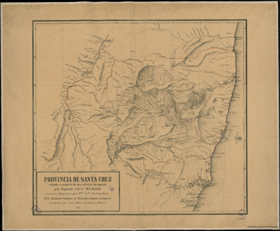
PROVINCIA DE SANTA CRUZ
Map 1873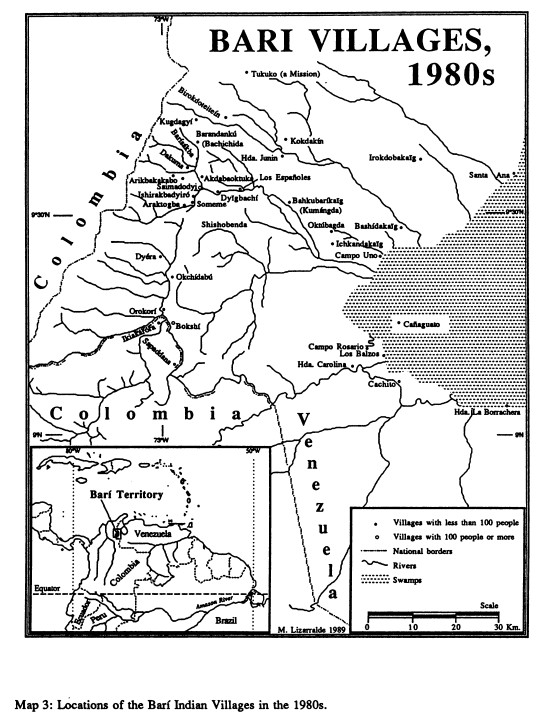
BARÍ VILLAGES;1980s
Map 1980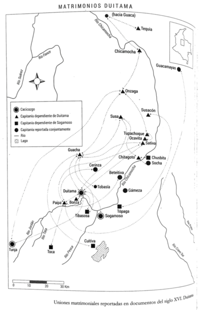
Matrimonios Duitama
Map 1500 - 1600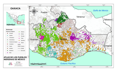
OAXACA
Map 2015