
Peoples
- MAZAHUA
- NAHUA
- OTOMI
- PUREPECHA
Citation
Instituto Nacional de los Pueblos Indígenas. "Distribución por Entidad Federativa." Atlas de los pueblos indígenas de México. http://atlas.inpi.gob.mx/distribucion-por-entidad-federativa/.
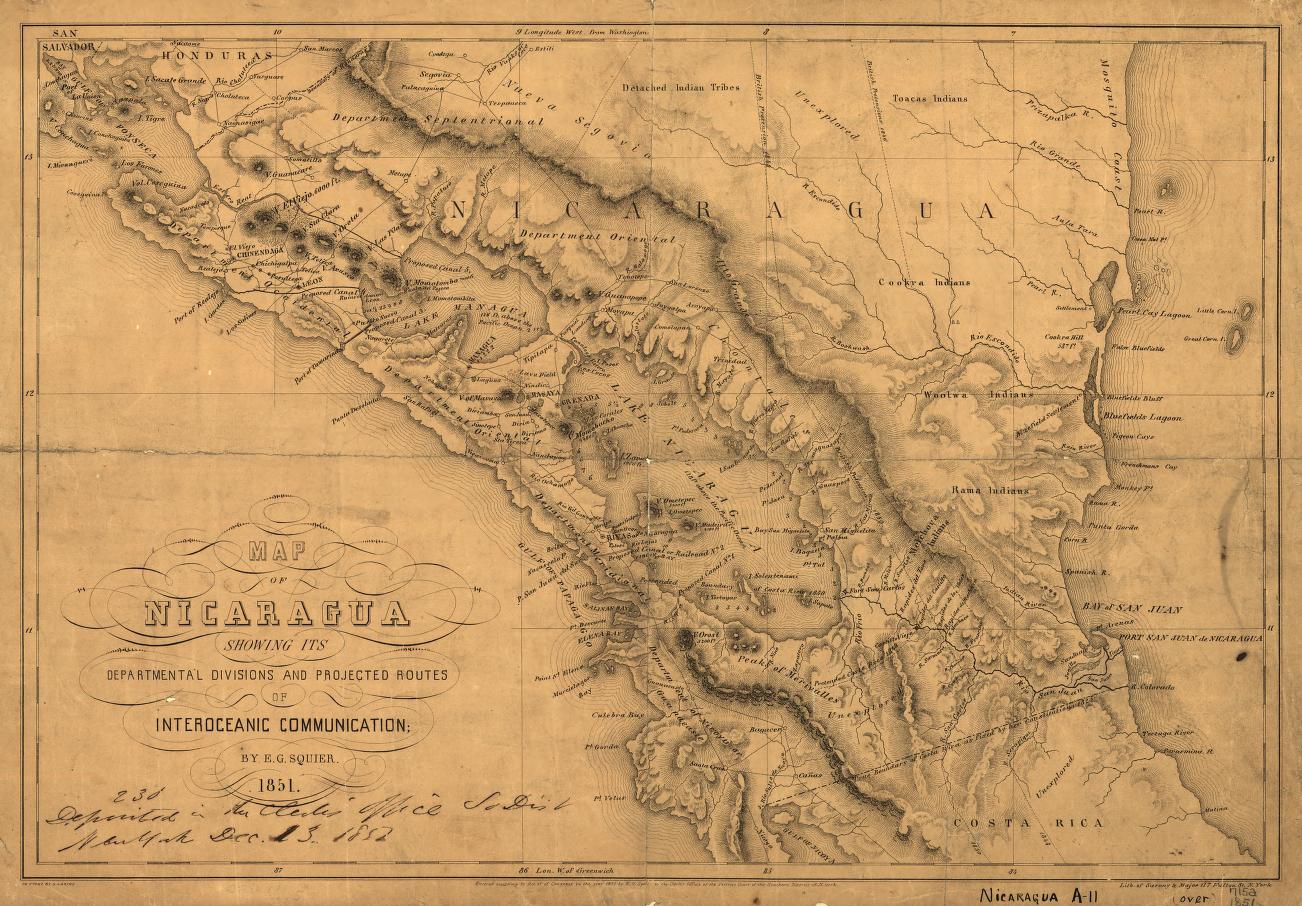
Map of Nicaragua showing departmental divisionsand projected routes of interoceanic communication.
Map 1851
A New Map of Part /of the Great River / De la Plata, /of Tucuman / and the adjacent Countries, from Buenos Ayres to Potosí
Map 1716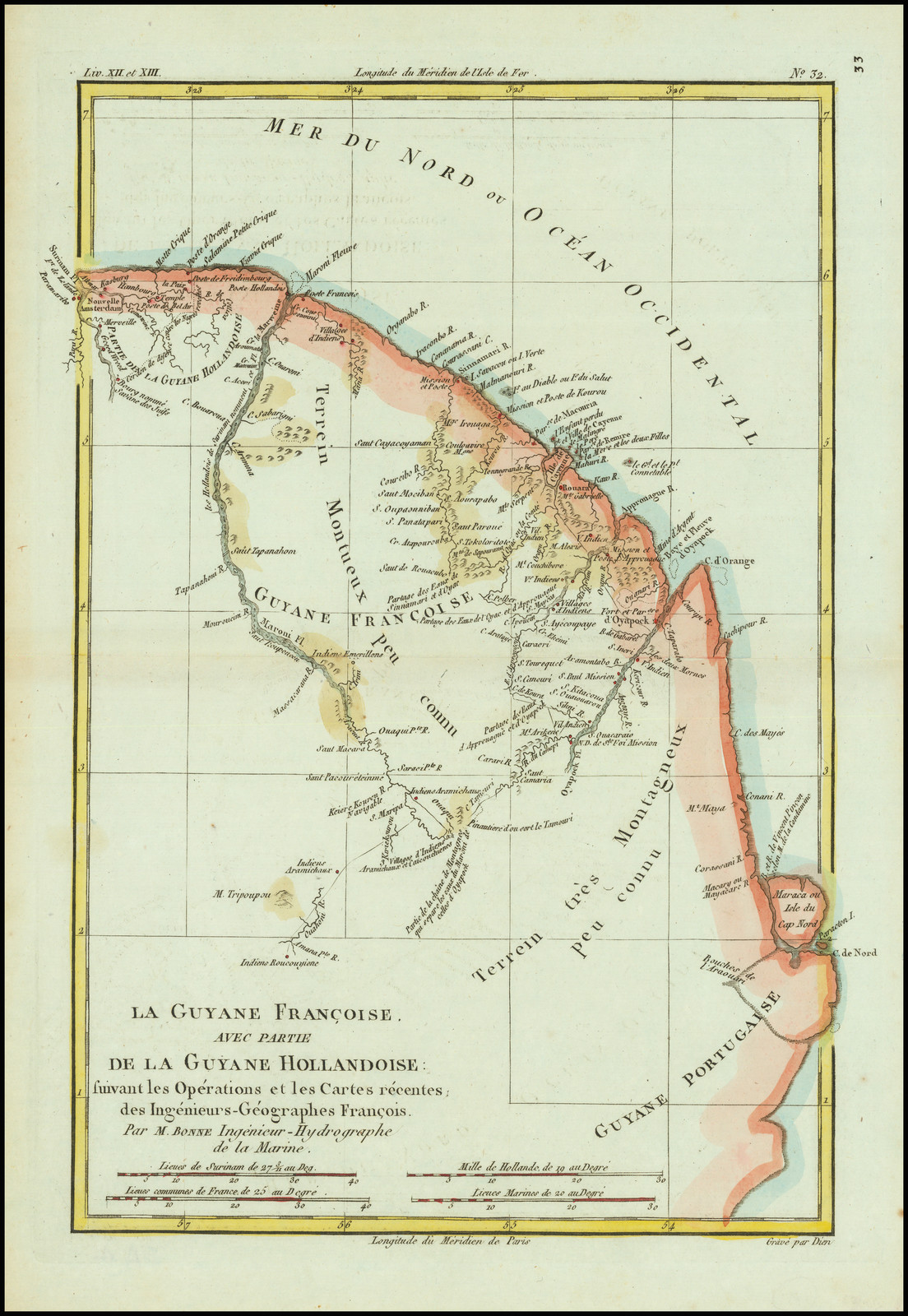
La Guyane Francoise, avec partie de la Guyane Hollandoise: suivant les Opérations et les Cartes récentes;des Ingênieurs-Géographes François.
Map 1787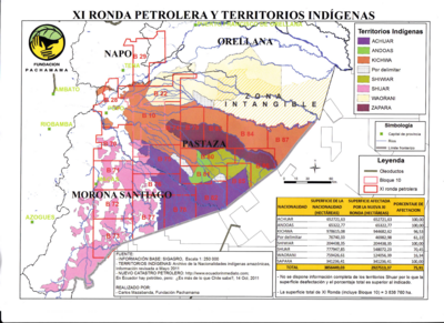
XI RONDA PETROLERA Y TERRITORIOS INDIGENAS
Map 2011
DIE REPUBLIK URUGUAY
Map 1857
La France équinoctiale remise soubs l'Obeissance du Roy en l'année 1664.
Map 1664
"Territorio Indígena Conte Burica (Ngöbes)
Map 2010
SOUTH AMERICA SHEET I. ECUADOR;GRANADA;VENEZUELA;AND PARTS OF BRAZIL AND GUAYANA
Map 1842