
Peoples
- CHICHIMECA JONAZ
- OTOMI
Citation
Instituto Nacional de los Pueblos Indígenas. "Distribución por Entidad Federativa." Atlas de los pueblos indígenas de México. http://atlas.inpi.gob.mx/distribucion-por-entidad-federativa/.
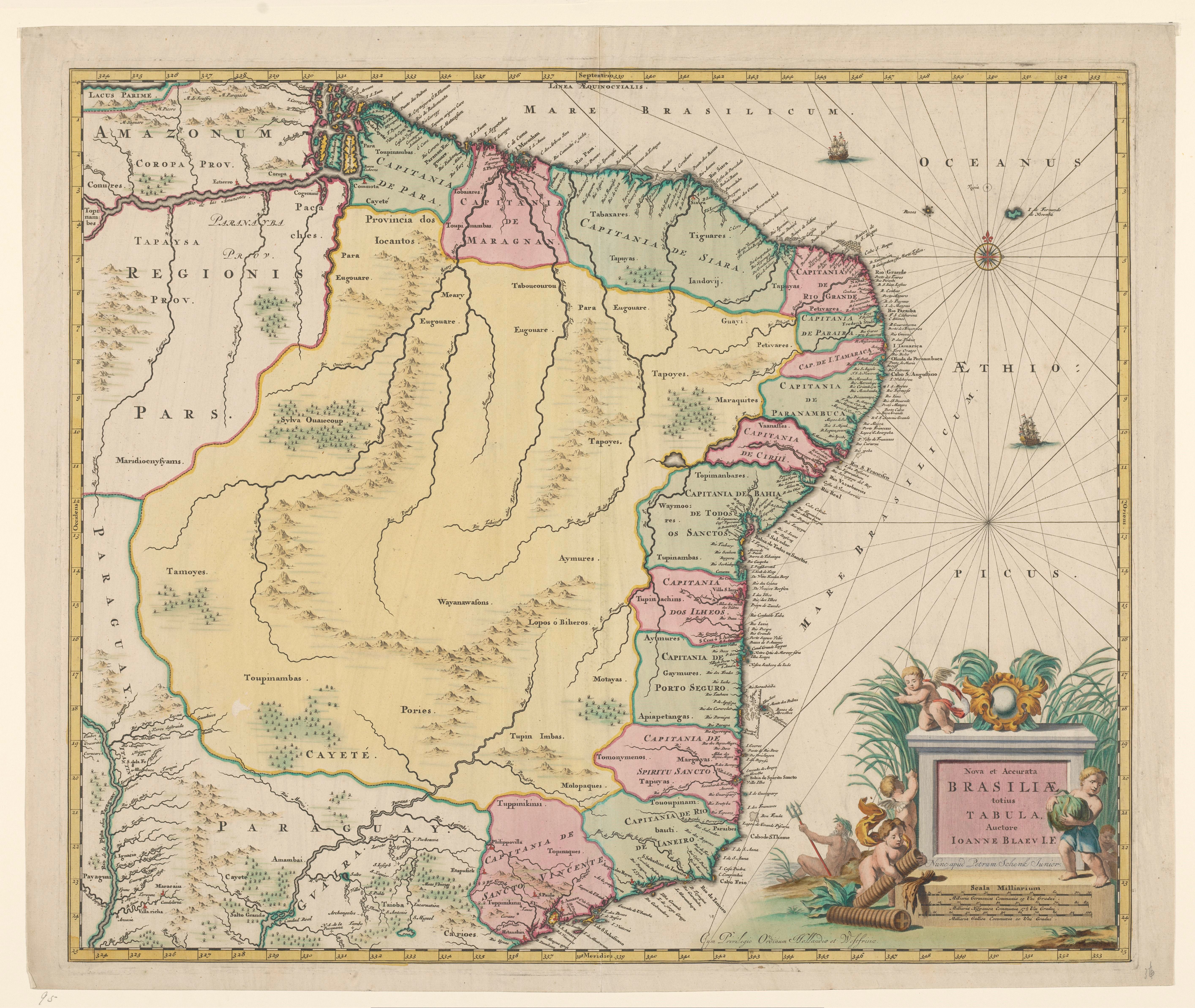
Nova et Accurate BRASILIAE totius TABULA
Map 1700 - 1745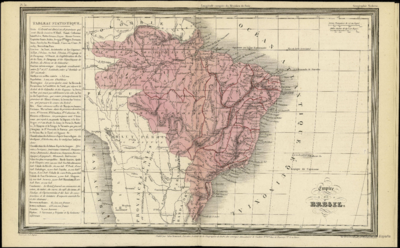
Empire du BRÉSIL
Map 1835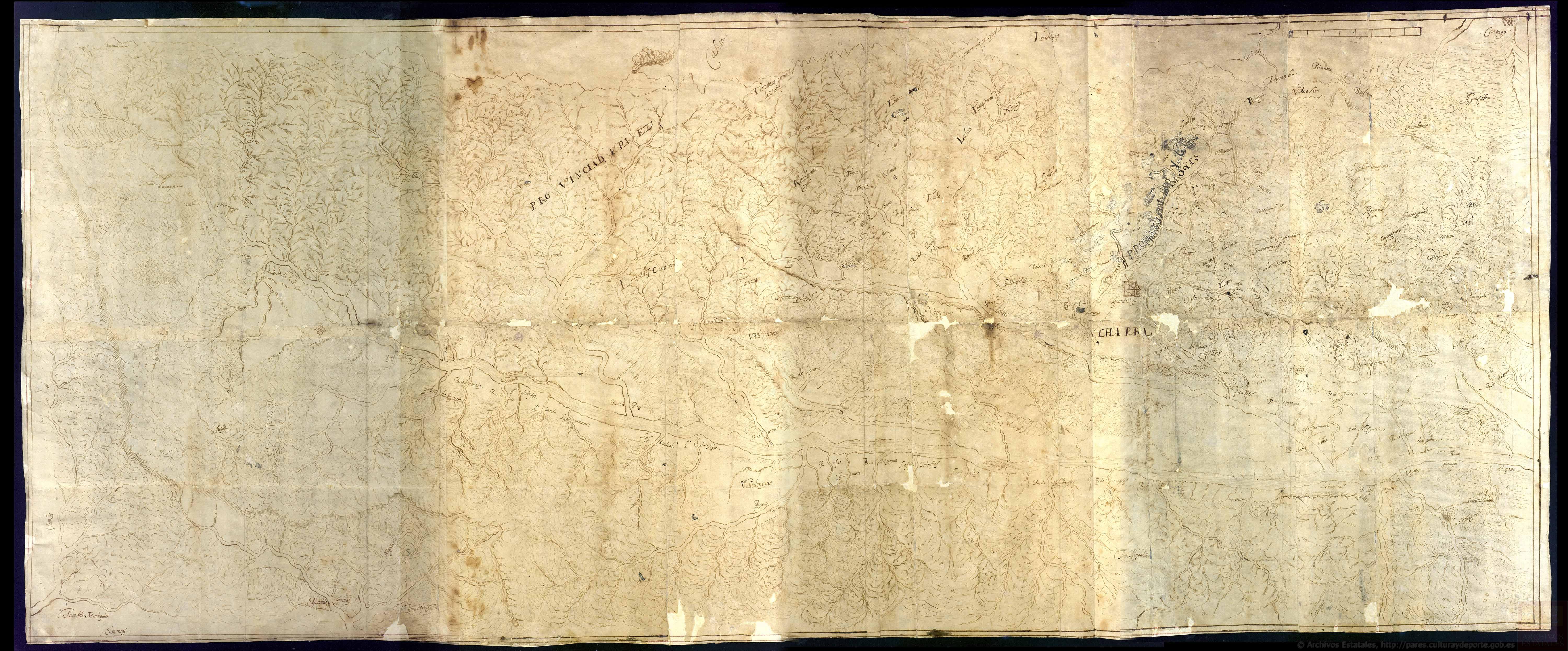
Discrepçion y mapa del territorio que ocupan los indios pijaos
Map 1608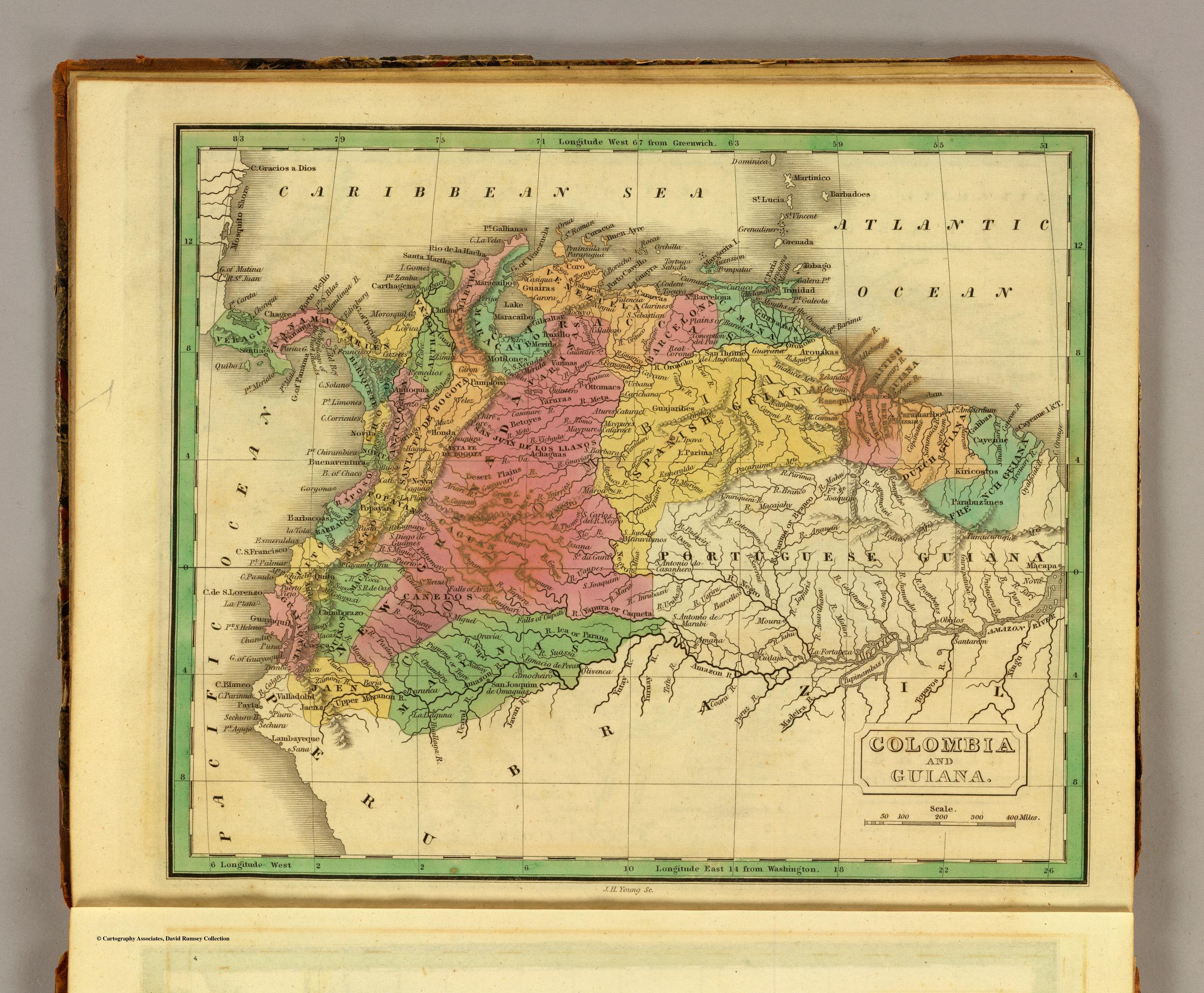
COLOMBIA AND GUIANA
Map 1830
South America from the latest discoveries, shewing the Spanish & Portuguese settlements according to Mr. D'Anville
Map 1771
PUEBLO MASHCO PIRO
Map 2021
MAPA DE TIERRAS DE COMUNIDADES NEGRAS
Map 2012
Constitución de Territorio Mapuche 1598-1604.
Map 1598 - 1604