
Peoples
- NAHUA
Citation
Instituto Nacional de los Pueblos Indígenas. "Distribución por Entidad Federativa." Atlas de los pueblos indígenas de México. http://atlas.inpi.gob.mx/distribucion-por-entidad-federativa/.
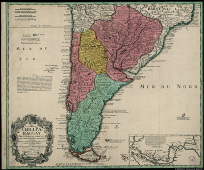
Typus Geographicus Chili, Paraguay
Map 1733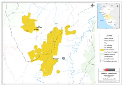
PUEBLO KAKATAIBO
Map 2021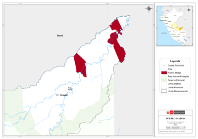
PUEBLO MADIJA
Map 2021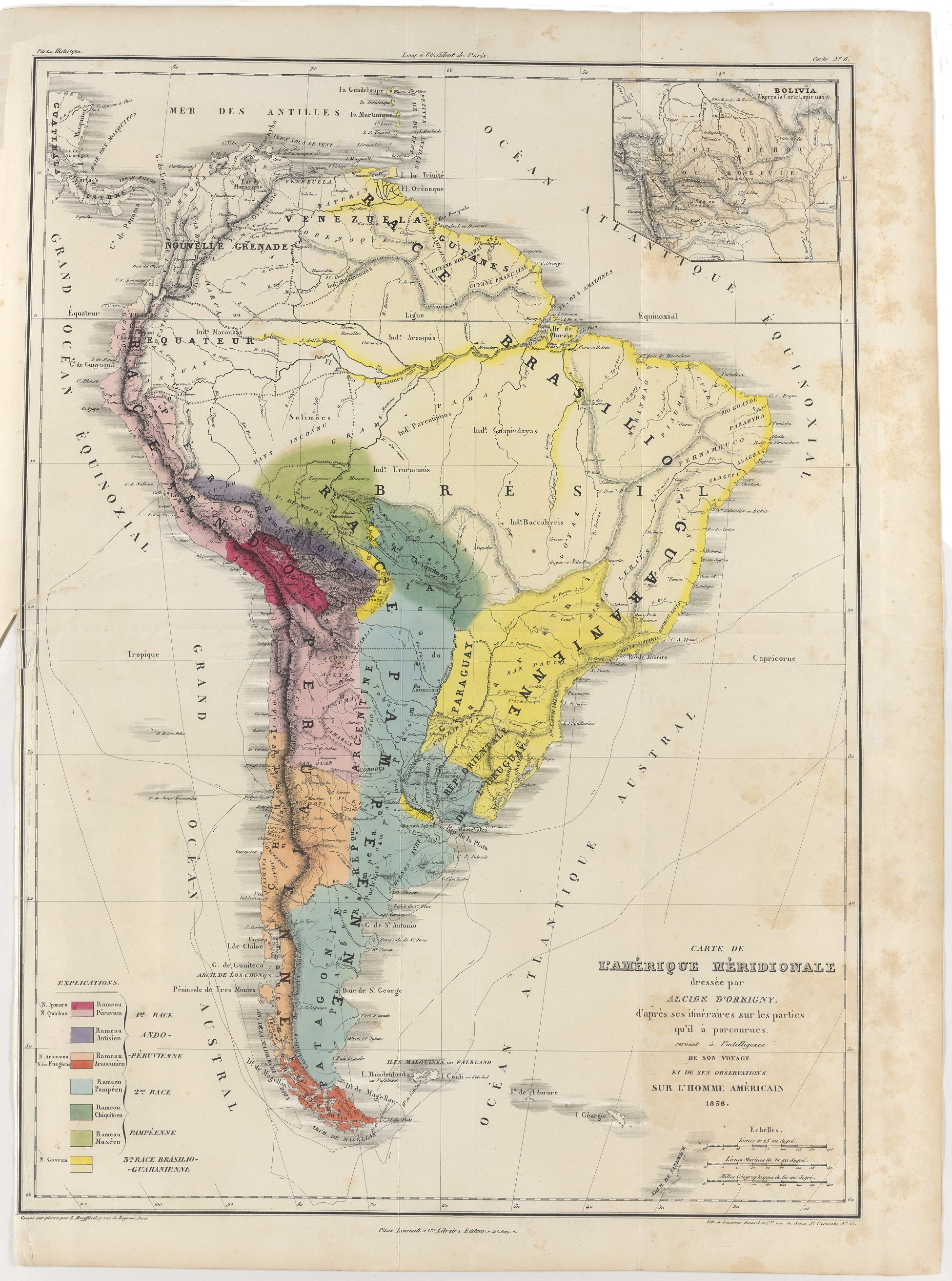
Carte de l'Amérique Méridionale dressée par Alcide d'Orbigny. d'aprés ses itinéraires sur les parties qu'il à parcourues servant à l'intelligence de son voyage et de ses observations sur l'homme américain
Map 1829
Part of the Southwest 1600-1750 Showing Locations of "Unknown Athapaskans"
Map 1600 - 1750
Departamento de Cuzco
Map 1865
Mexico at the time of the conquest (1519), showing the extent of the Culhua Mexica (Aztec Empire) and of the Maya holdings
Map 1519
PUEBLO NAHUA DE TLAXCALA
Map 2020