
Peoples
- NAHUA
Citation
Instituto Nacional de los Pueblos Indígenas. "Distribución por Entidad Federativa." Atlas de los pueblos indígenas de México. http://atlas.inpi.gob.mx/distribucion-por-entidad-federativa/.
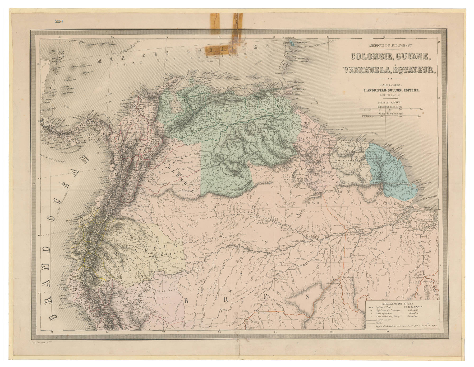
COLOMBIE;GUYANE;VENEZUELA;ÉQUATEUR
Map 1868![Mapa de lo principal de la Provincia de NIC;su Laguna;y desagüe de ella;por el Río de San Juan;Poblasones [sic] de los enemigos Zambos e yngleses en Puntagorda y Mosquitos;y las costas y parajes;adonde hacen daños y prezas](https://dnet8ble6lm7w.cloudfront.net/maps/CNT/CNT0103.jpg)
Mapa de lo principal de la Provincia de NIC;su Laguna;y desagüe de ella;por el Río de San Juan;Poblasones [sic] de los enemigos Zambos e yngleses en Puntagorda y Mosquitos;y las costas y parajes;adonde hacen daños y prezas
Map 1716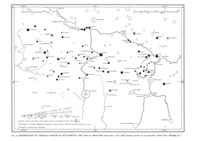
Distribution of Tarascan Speech by Settlements, 1940
Map 1940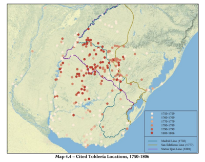
Cited Toldería Locations, 1750-1806
Map 1750 - 1806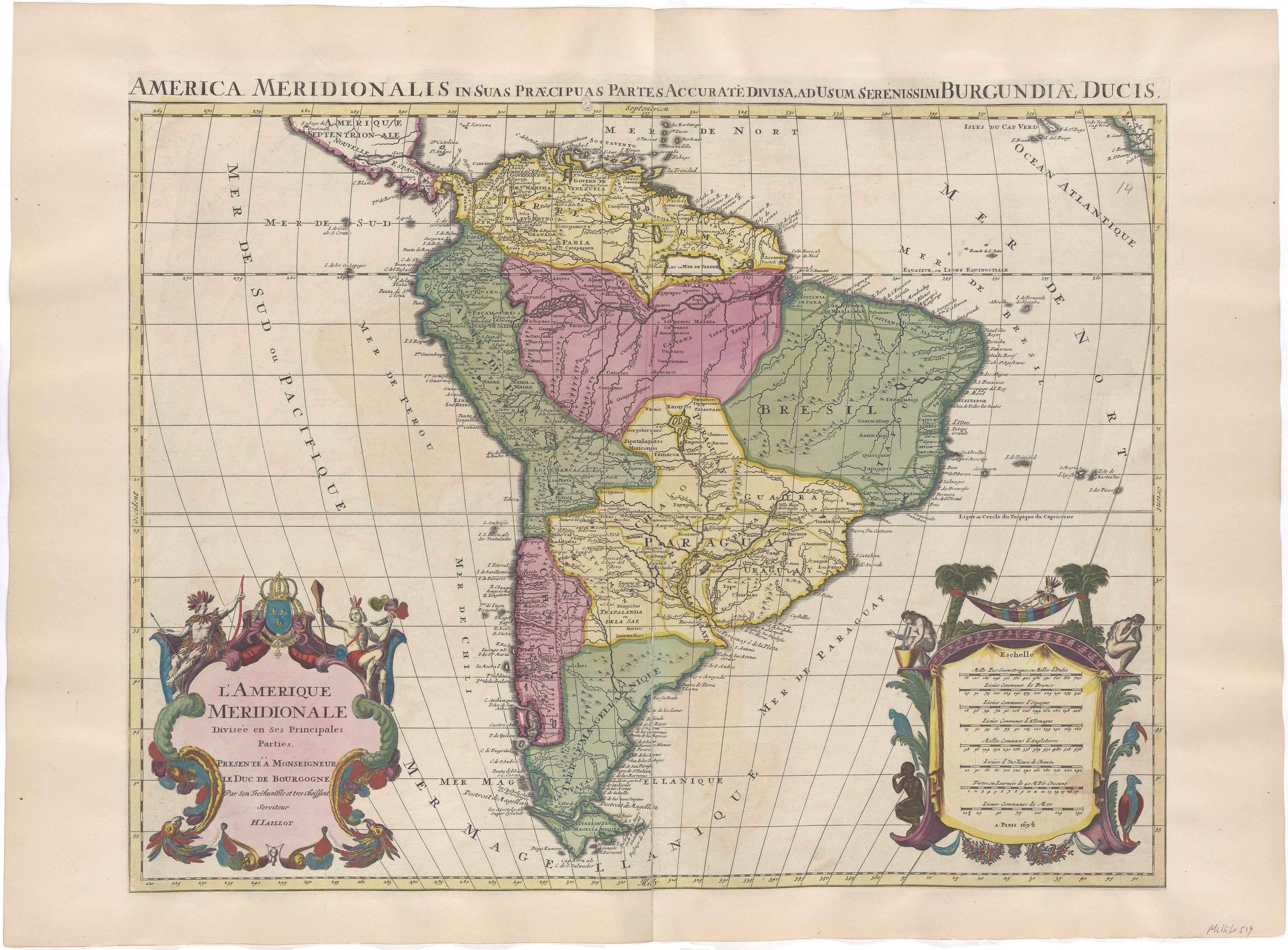
L'Amerique Meridionale Divisée en ses Principales Parties. Presenté à Monseigneur le Duc de Bourgogne
Map 1694
Departamentos y municipios de mayor concentración del pueblo Arhuaco
Map 2005
LOS CACICAZGOS MUISCAS ALRDEDOR DE 1470
Map 1470
CARTA DO SUL DO IMPERIO BRASIL, comprehandendo as PROVINCIAS RIO GRANDE do SUL, STA. CATHARINA e PARANA
Map 1885