Peoples
- MAYA
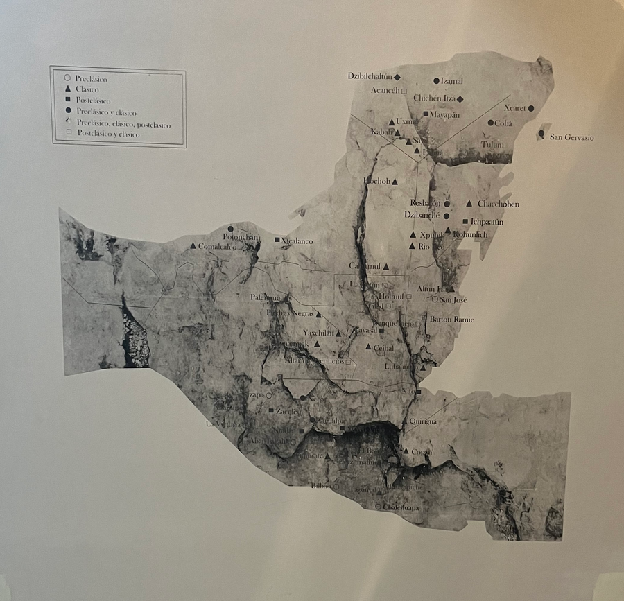
Citation
"Mayan Sites from Preclassic, Classic, and Postclassic Periods." Map. Museo de la Cultura Maya, Chetumal.
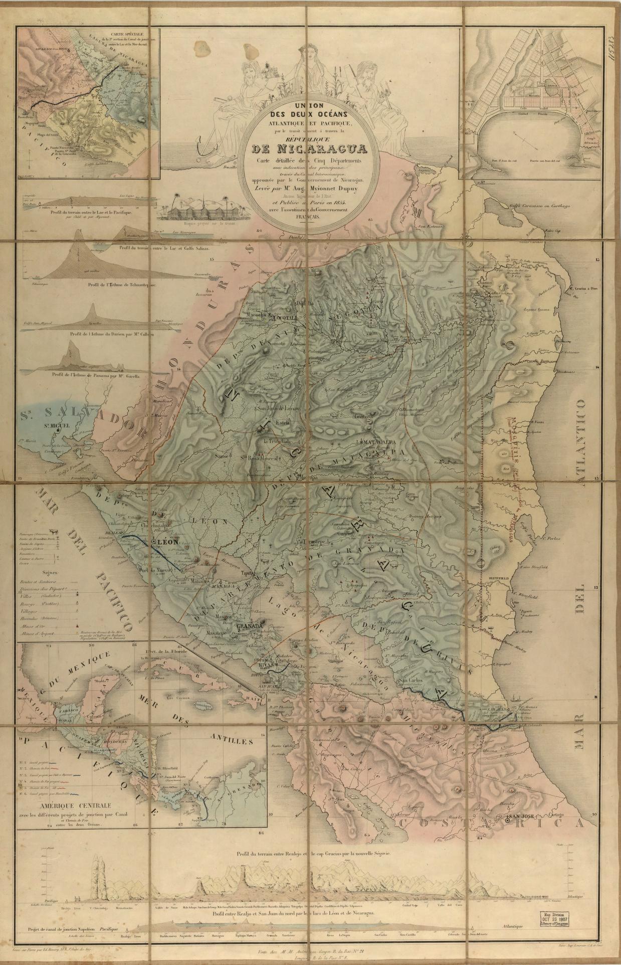
Union des deux ocʹeans Atlantique et Pacifique;par le transit ouvert à travers la rʹepublique De Nicaragua : carte dʹetaillʹee des cinq dʹepartements avec indication des principaux tracʹes du Canal Interocʹeanique ...
Map 1855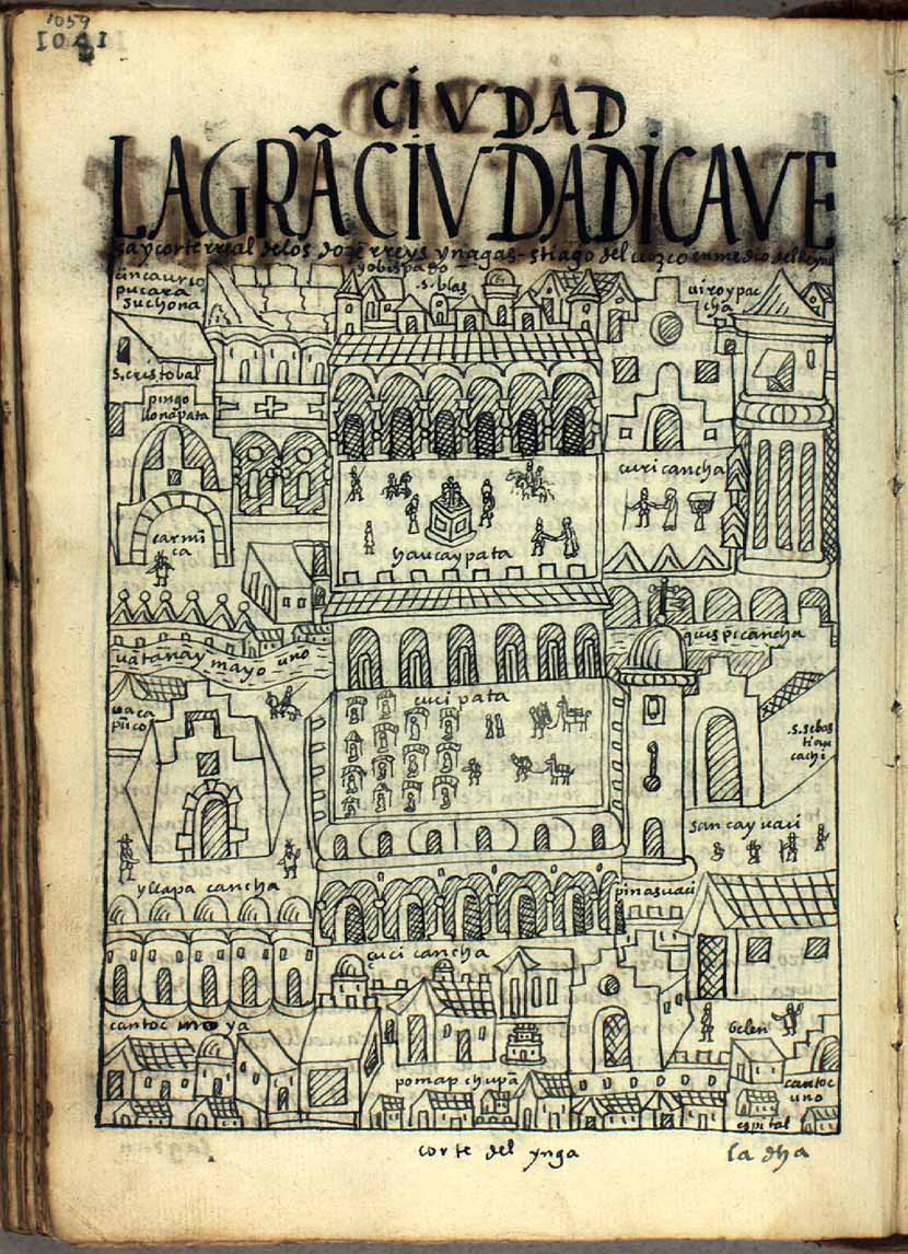
LA GRAN CIVDAD I CAVEsa y corte rreal de los doze rreys Yngas, Santiago del Cuzco en medio del rreyno y obispado
Map 1615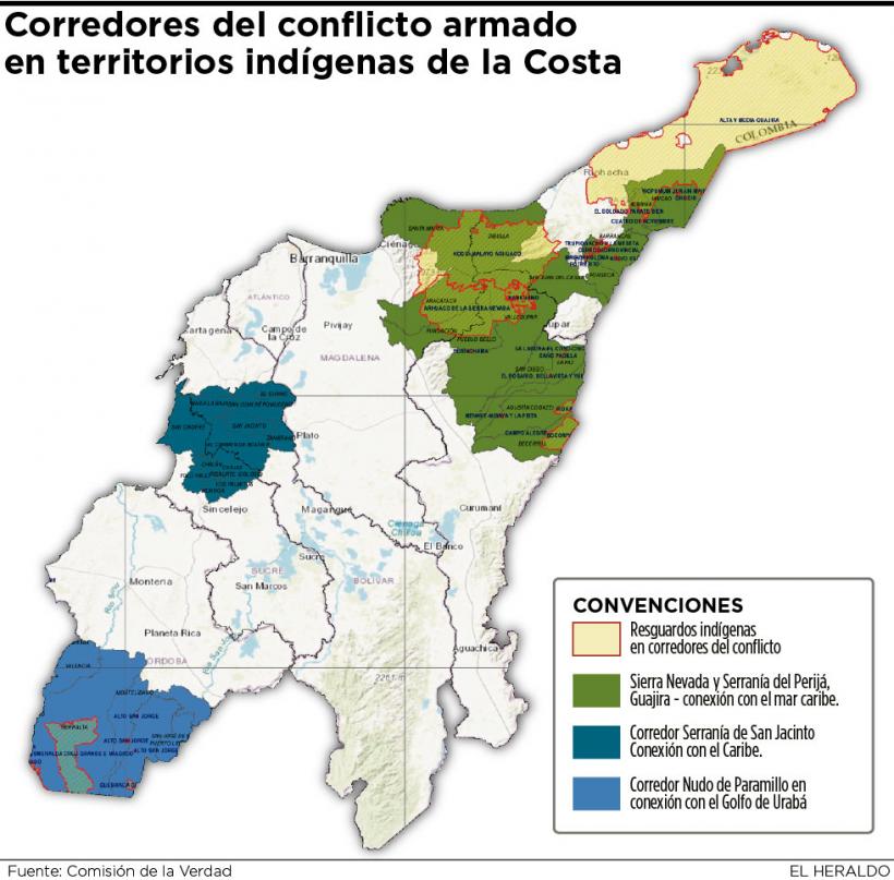
Corredor del conflicto armado en territorios indígenas de la Costa
Map 2020
Map of Nicaragua showing Ulwa settlements in Eastern Nicaragua and field study sites (in rectangle)
Map 1990
RESGUARDOS Y TERRITORIOS INDIGENAS EN COLOMBIA
Map 2015
Territorios del Pueblo Barí reconocidos por el Estado Colombiano (2017)
Map 2017
CARTA COROGRAFICA DE LA REPÚBLICA DEL ECUADOR / MANUEL VILLAVICENCIO ;LIT. E IMP. DE F. MAYER Y CA.
Map 1817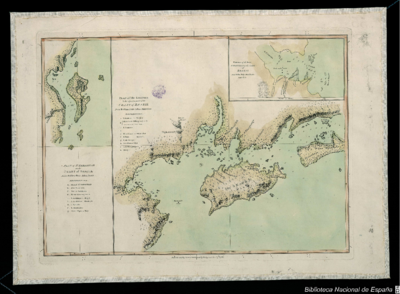
PLAN of the Isle GRANDE & the adjacent parts of the COAST of BRAZIL
Map 1764