Citation
Tanck de Estrada, Dorothy. Atlas Ilustrado de los Pueblos de Indios: Nueva España, 1800. México: El Colegio de México, 2005. N/A - NO DIGITAL ACCESS
South America
Map 1800 - 1850
A MAP OF SOUTH AMERICA CONTAINING Tierra Firma, Guayana, New Granada, Amazonia, Brasil, Perú, Paraguay, Chaco, Tucuman, Chili, and Patagonia
Map 1779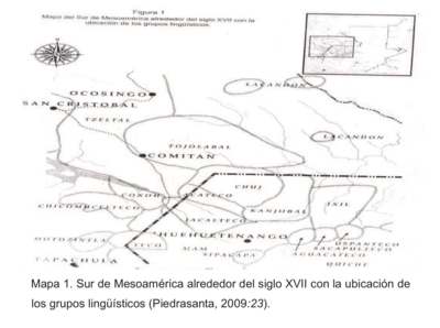
Sur de Mesamérica alrededor del siglo XVII con los grupos lingüísticos
Map 1800 - 1900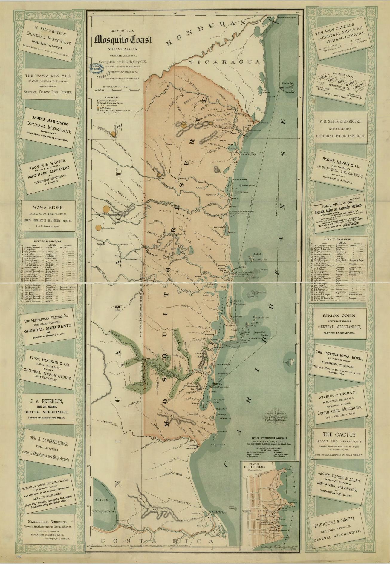
Map of the Mosquito Coast;Nicaragua
Map 1894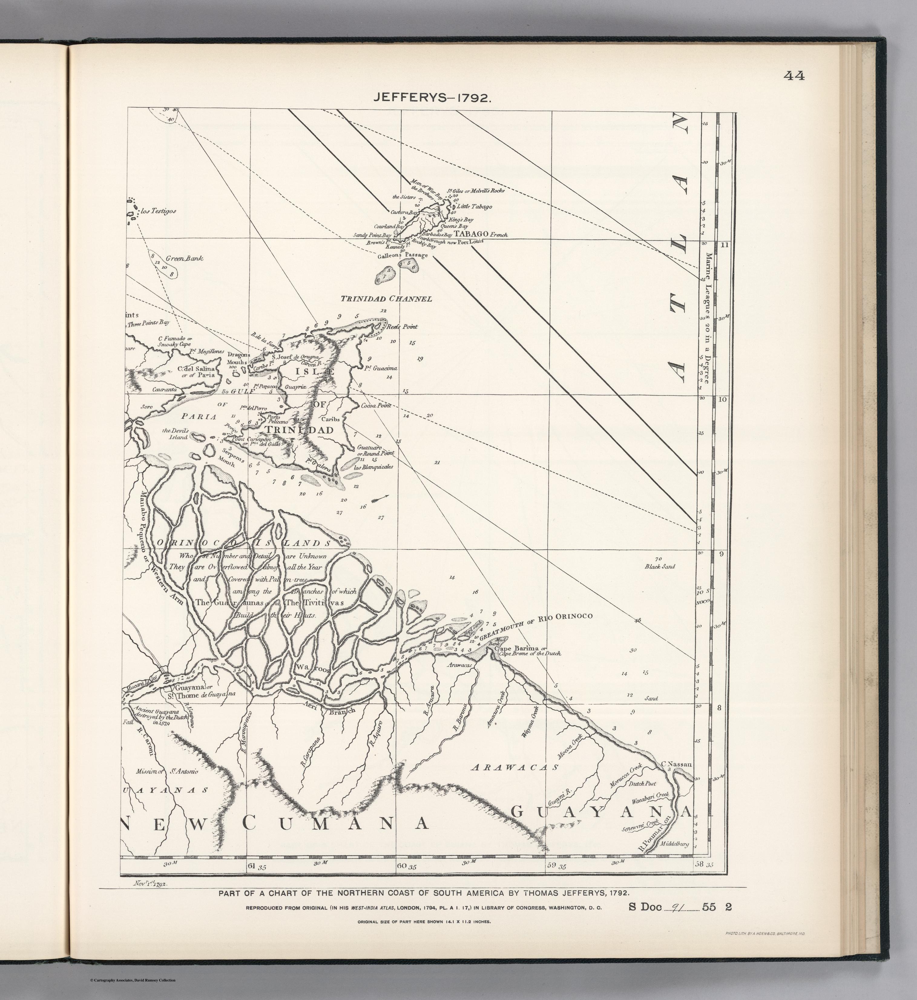
PART OF A CHART OF THE NORTHERN COAST OF SOUTH AMERICA BY THOMAS JEFFERYS
Map 1792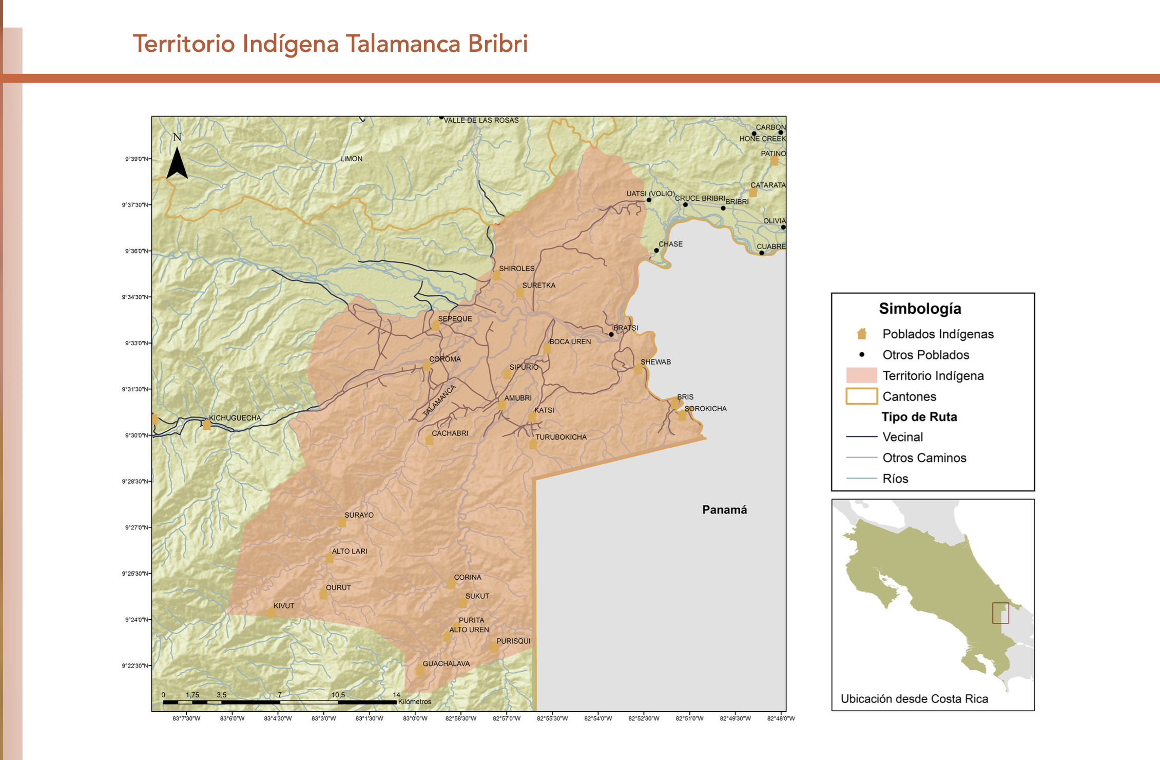
"Territorio Indígena Talamanca Bribri"
Map 2010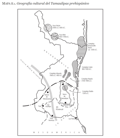
Geografia cultural del Tamaulipas prehispánico
Map -5000 - 599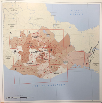
INTENDENCIA DE OAXACA
Map 1800