
Citation
Tanck de Estrada, Dorothy. Atlas Ilustrado de los Pueblos de Indios: Nueva España, 1800. México: El Colegio de México, 2005. N/A - NO DIGITAL ACCESS
![Retrato de Lorenzo Jaramillo [Portrait of Lorenzo Jaramillo]](https://dnet8ble6lm7w.cloudfront.net/art_sm/ACOL006.png)
Retrato de Lorenzo Jaramillo [Portrait of Lorenzo Jaramillo]
Artwork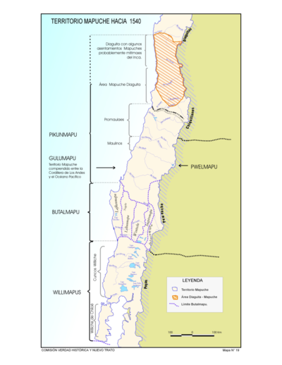
Territorio Mapuche hacia 1540
Map 1540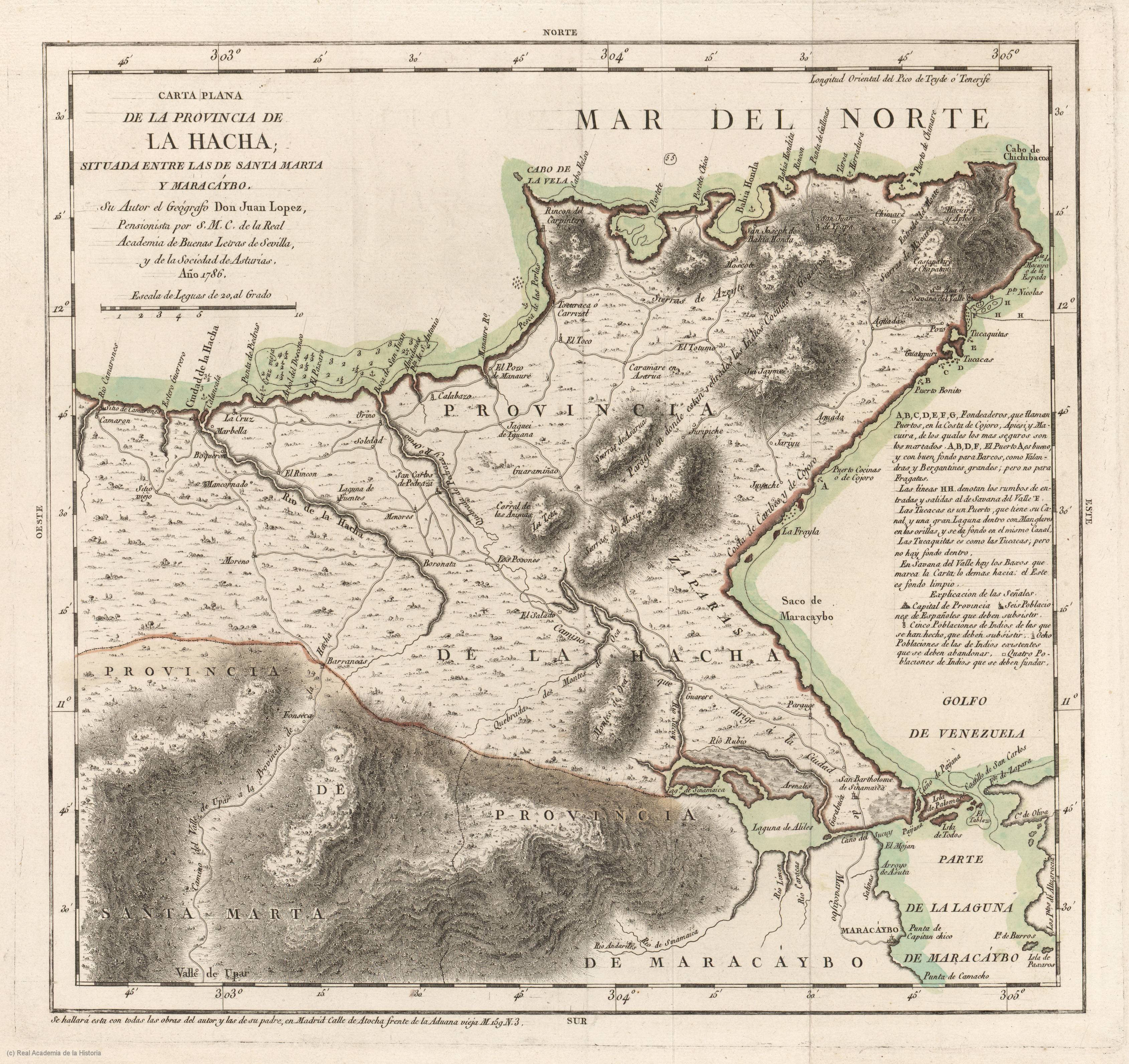
Carta plana de la provincia de La Hacha situada entre las de Santa Marta y Maracaybo
Map 1786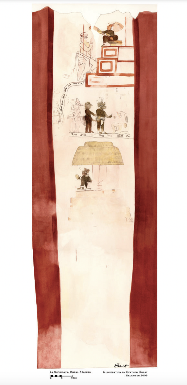
Reproduction of a 4th century mural painted on the wall of a royal residence at La Sufricaya in the Peten region of Guatemala. Mural 6 North.
Map 300 - 400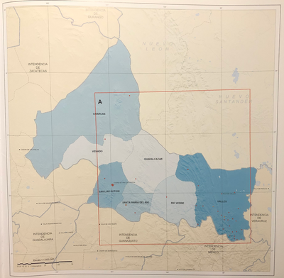
INTENDENCIA DE SAN LUIS POTOSÍ
Map 1800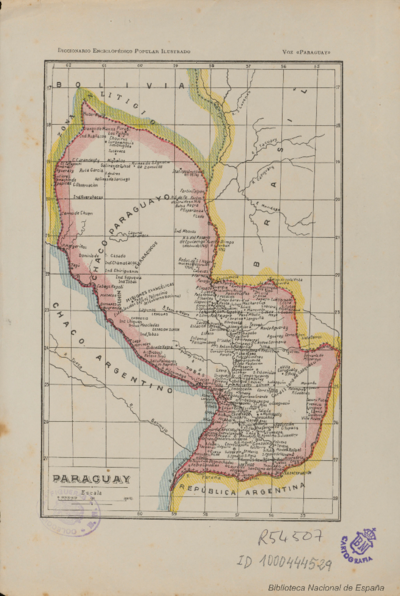
PARAGUAY
Map![Pata Ewa’n – o coração do mundo [Pata Ewa’n – The Heart of the World]](https://dnet8ble6lm7w.cloudfront.net/art_sm/ABRA022.png)
Pata Ewa’n – o coração do mundo [Pata Ewa’n – The Heart of the World]
Artwork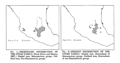
Present Distribution of the Otomi Family
Map 1969