Citation
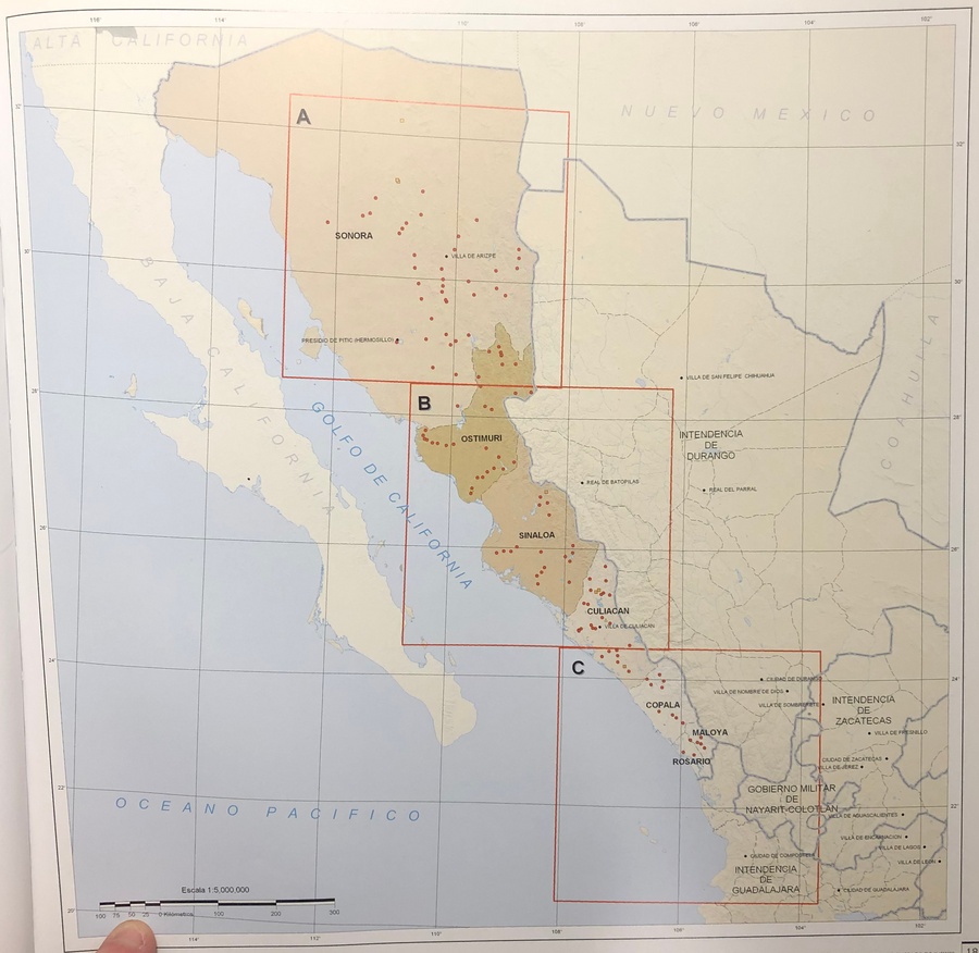
Tanck de Estrada, Dorothy. Atlas Ilustrado de los Pueblos de Indios: Nueva España, 1800. México: El Colegio de México, 2005. N/A - NO DIGITAL ACCESS
MÉXICO
Map 2015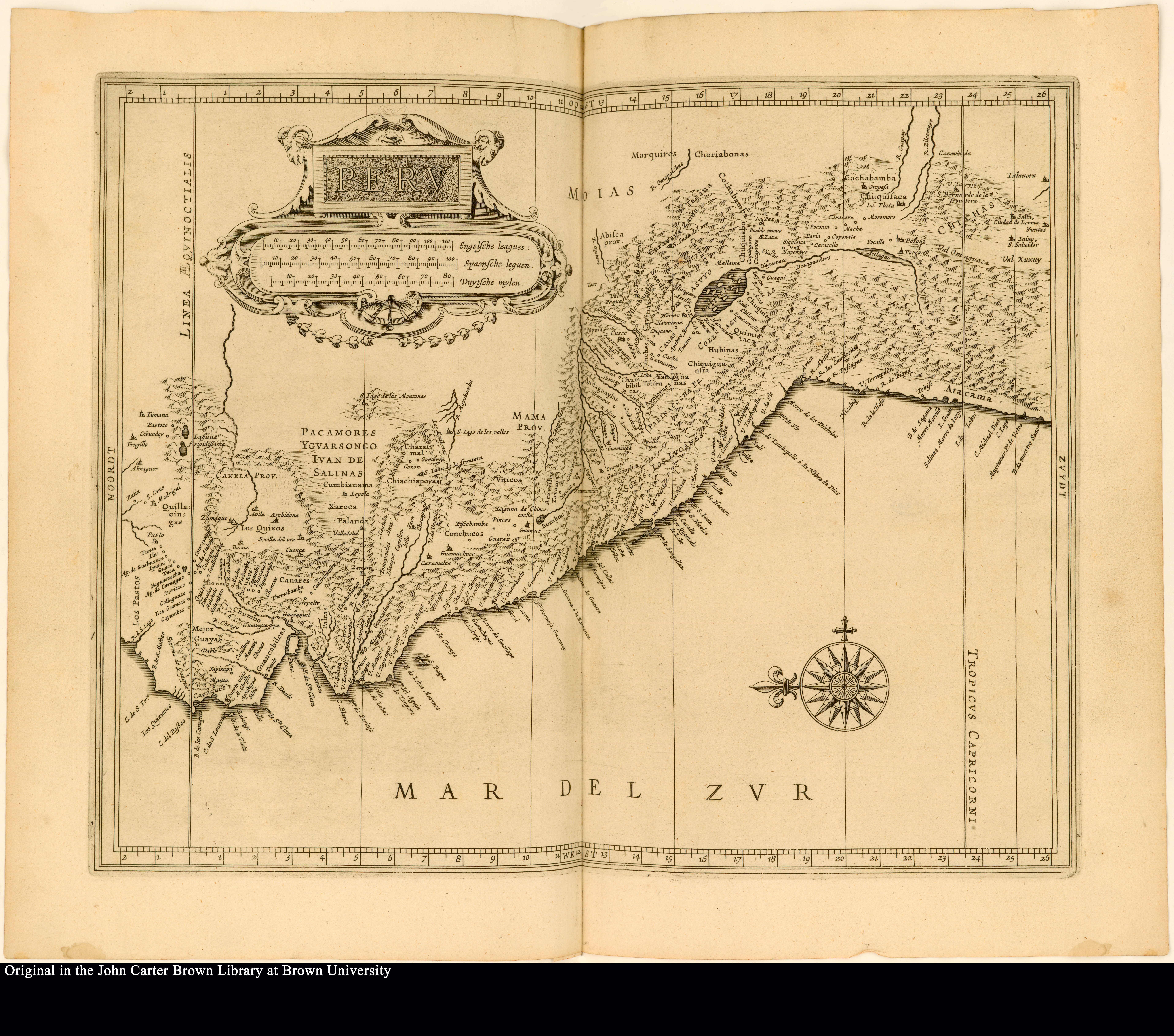
Peru
Map 1625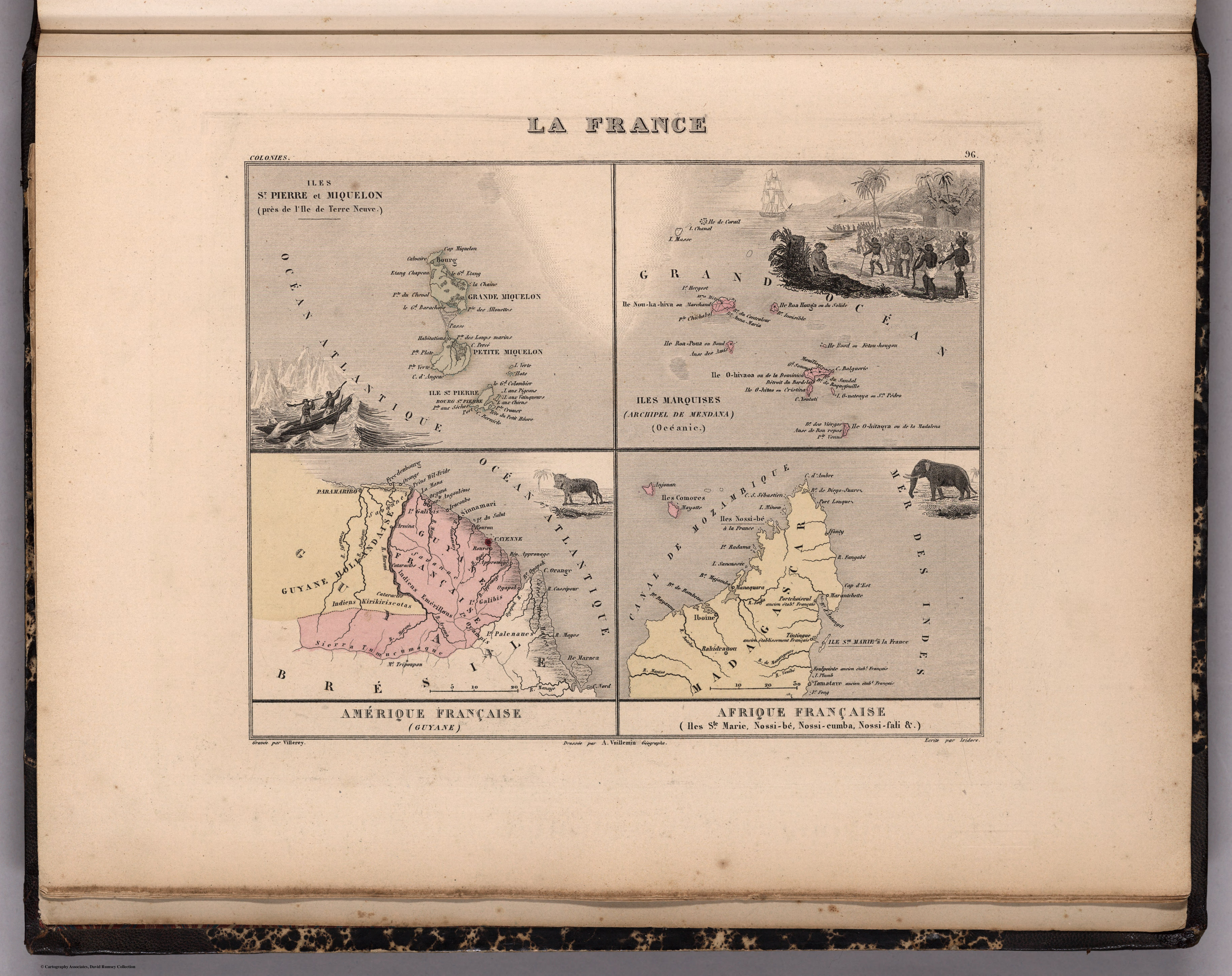
La France. Amérique Française (Guyane). Afrique Française (Illes S.te Marie, Nossi-bé, Nossi-cumba, Nossi-fali &.).
Map 1869
PUEBLO SECOYA
Map 2021
An exact draught of the river of Bellese as high as the Barcadares. A new draught of the bay of Honduras by Capt. Nathaniel Uring
Map 1726
CARTE DU BRÉSIL
Map 1836
PROVINCIA DO ESPIRITO SANTO
Map 1873![De cuando el río dejó de ser río para convertirse en otra cosa [When the River Ceased to Be a River and Became Something Else]](https://dnet8ble6lm7w.cloudfront.net/art_sm/APER061.png)
De cuando el río dejó de ser río para convertirse en otra cosa [When the River Ceased to Be a River and Became Something Else]
Artwork