Citation
Tanck de Estrada, Dorothy. Atlas Ilustrado de los Pueblos de Indios: Nueva España, 1800. México: El Colegio de México, 2005. N/A - NO DIGITAL ACCESS
Plano del valle del río de San Miguel, desde sus fuentes hasta San Francisco de Chamacuero
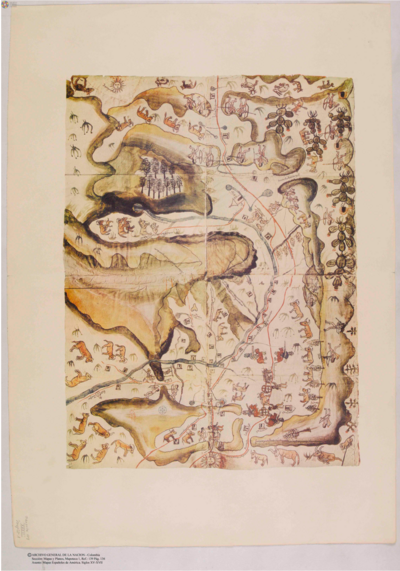
Map 1580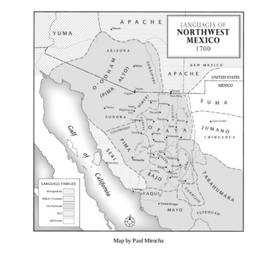
Languages of Northwest Mexico
Map 1700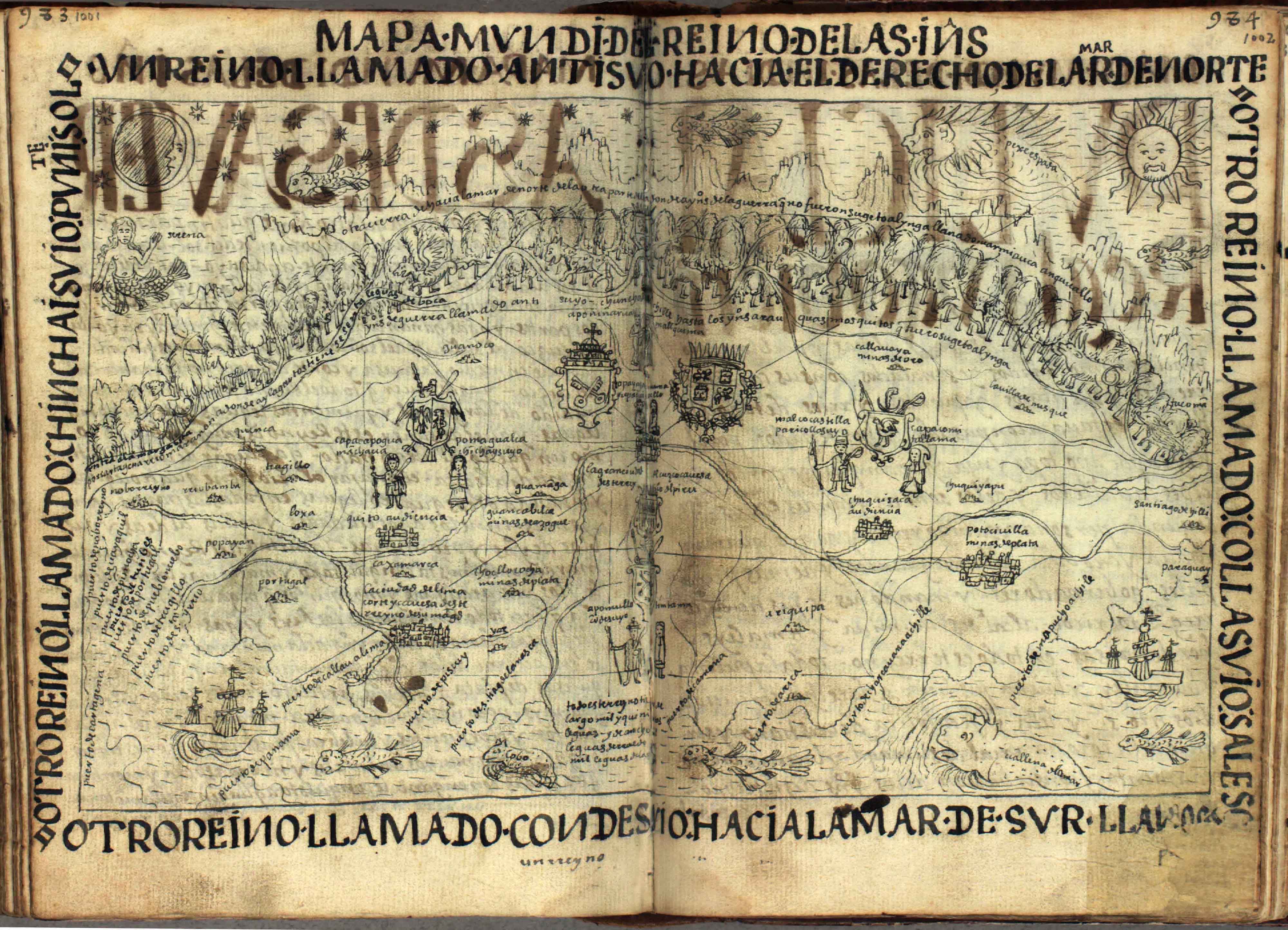
Mapa Mundi
Map 1615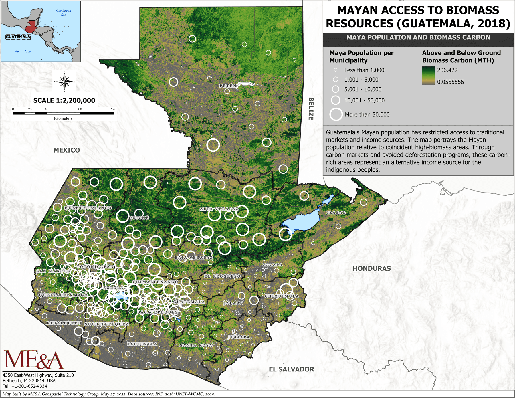
Mayan Access to Biomass Resources (Guatemala 2018).
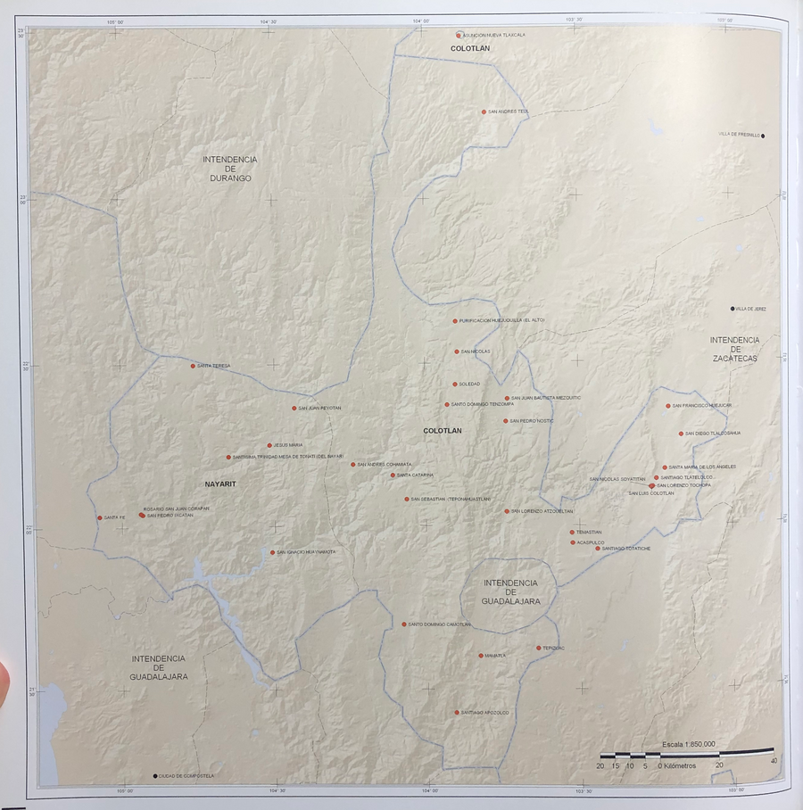
Map 2000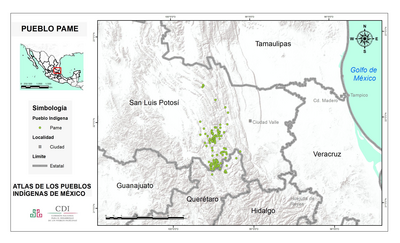
PUEBLO PAME
Map 2020
Guyane française. Carte géographo-géologique, dressée d'après les reconnaissances faites de 1867 à 1878 par le bureau du cadastre de Cayenne.
Map 1867 - 1878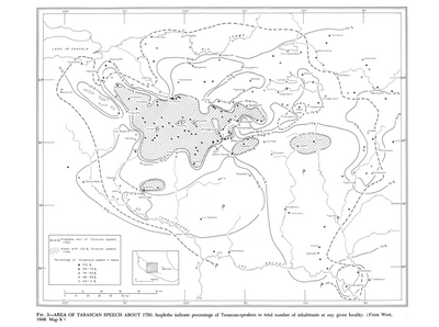
Area of Tarascan Speech around 1750
Map 1750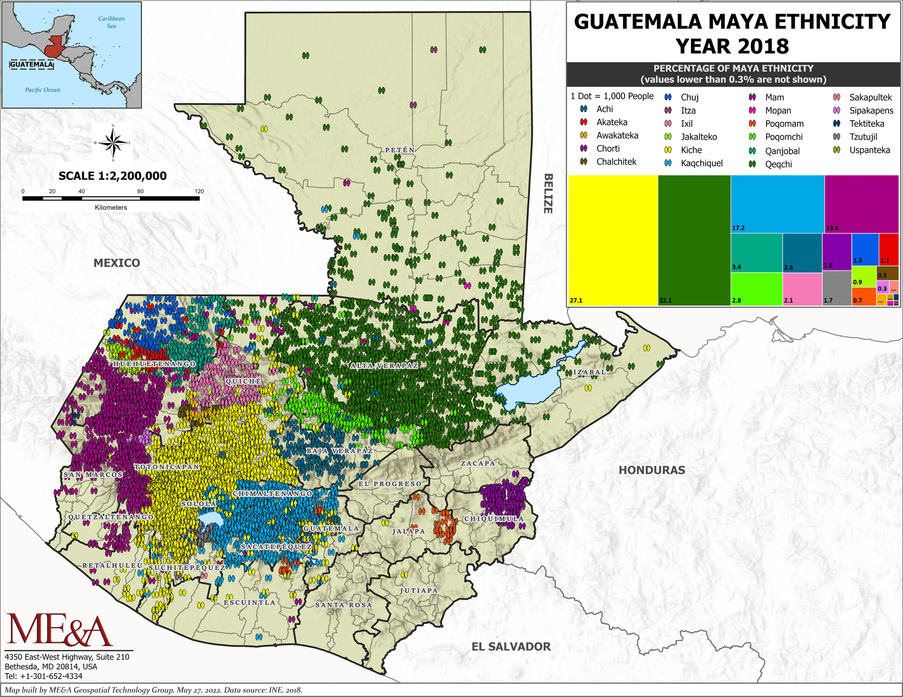
Guatemala Maya Ethnicity Year 2018
Map 2000