Citation
Tanck de Estrada, Dorothy. Atlas Ilustrado de los Pueblos de Indios: Nueva España, 1800. México: El Colegio de México, 2005. N/A - NO DIGITAL ACCESS
![Libro para visitas para Seropositivo [Guestbook for Seropositive]](https://dnet8ble6lm7w.cloudfront.net/art_sm/ACOL010.png)
Libro para visitas para Seropositivo [Guestbook for Seropositive]
Artwork
Sitios arqueológicos del Lago de Amatitlán, con lugares de ofrendas acuáticas.
Map 2011
A New Chart of the Coast of Brazil from the Banks of St. Roque, to the Island of St. Sebastian;with the Islands and Soundings in the Offing
Map 1794
La France Antarctique autrement le Rio de Janeiro
Map 1557 - 1558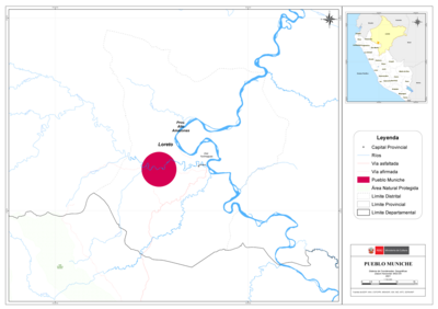
PUEBLO MUNICHE
Map 2021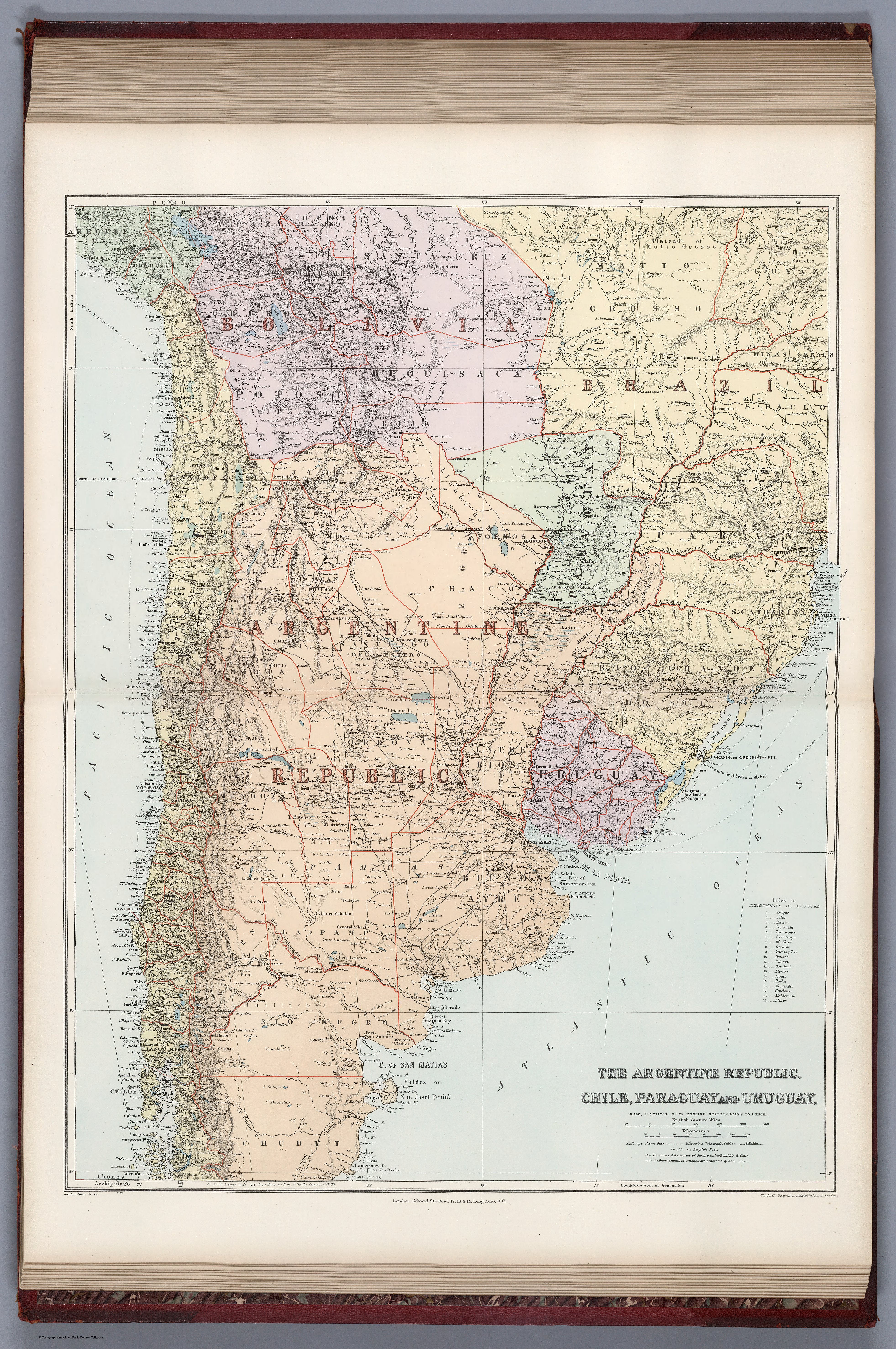
THE ARGENTINE REPUBLIC;CHILE;PARAGUAY AND URUGUAY
Map 1887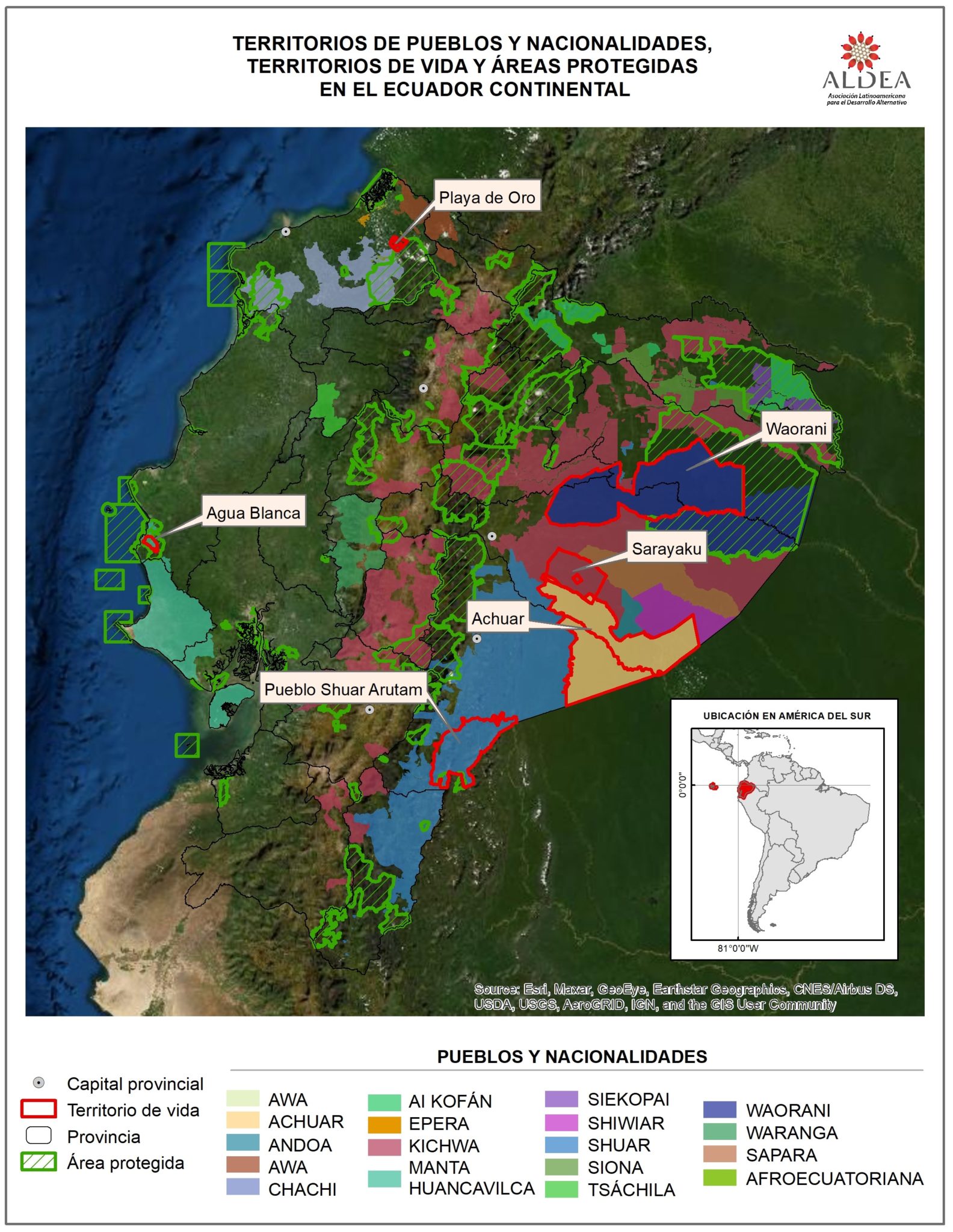
TERRITORIOS DE LOS PUEBLOS Y NACIONALIDADES;TERRITORIOS DE VIDA Y AREAS PROTEGIDAS EN EL ECUADOR CONTINENTAL
Map 2016 - 2018![[Côtes de la Guyane].](https://dnet8ble6lm7w.cloudfront.net/maps/CNT/CNT0171.jpeg)
[Côtes de la Guyane].
Map 1700 - 1799