Dispossesions in the Americas

Dispossesions in the Americas

  • Home
  • Explore
  • About
  • Authors
  • Art
  • Bodies
  • Curricula
  • Cultural Heritage
  • Maps
  • Territories
Back to Explore
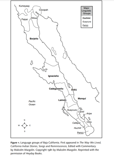
Map 2009

FAMILIAS LINGUÍSTICAS Y LENGUAS INDÍGENAS EN OASISAMÉRICA

  • RICARDO MIRONES

Published: 2009

  • Download Image

Peoples

  • CUCUPA
  • KUMIAI
  • KILIWA
  • PAI PAI
  • KIKPAOO
  • SERI
  • CORA
  • HUICHOL
  • PAPAGO
  • PIMA BAJO
  • TEPEHUANO DEL NORTE
  • TEPEHUANO DEL SUR
  • TARAHUMARA
  • GUARIJIO
  • YAQUI
  • MAYO

Citation

Gobierno de España Ministerio de Asuntos Exteriores y de Cooperación. Atlas Sociolingüístico de Pueblos Indígenas en América Latina. By UNICEF and FUNPROEIB Andes. Report no. 1. 2009. Accessed November 7, 2021. https://www.unicef.org/lac/media/9791/file/PDF%20Atlas%20sociolinguistico%20de%20pueblos%20ind%C3%ADgenas%20en%20ALC-Tomo%201.pdf.

  • Download Image

Reading in Spanish

Map 2009

FAMILIAS LINGUÍSTICAS Y LENGUAS INDÍGENAS EN OASISAMÉRICA

  • RICARDO MIRONES

Published: 2009

  • Download Image
  • Download Image

Related Content

TERRITORIO DEL SEÑORÍO  AYMARA DE LOS KILLAKAS A PRINCIPIOS DEL SIGLO XVI

TERRITORIO DEL SEÑORÍO AYMARA DE LOS KILLAKAS A PRINCIPIOS DEL SIGLO XVI

Map 1500 - 1530
Plano del pueblo de Mariguitar y de las tierras repartidas a los indios

Plano del pueblo de Mariguitar y de las tierras repartidas a los indios

Map 1703
CARTE DU MIXTECAPAN

CARTE DU MIXTECAPAN

Map 1906
Geographic Area South America

Geographic Area South America

Map 1771 - 1806
Carta para la inteligencia del informe sobre fronteras presentado al Excelentísimo Gobierno nacional por el General Don Wenceslao Paunero. Impreso

Carta para la inteligencia del informe sobre fronteras presentado al Excelentísimo Gobierno nacional por el General Don Wenceslao Paunero. Impreso

Map 1850 - 1880
A New Chart of the Coast of Brazil from the Banks of St. Roque, to the Island of St. Sebastian;with the Islands and Soundings in the Offing

A New Chart of the Coast of Brazil from the Banks of St. Roque, to the Island of St. Sebastian;with the Islands and Soundings in the Offing

Map 1794
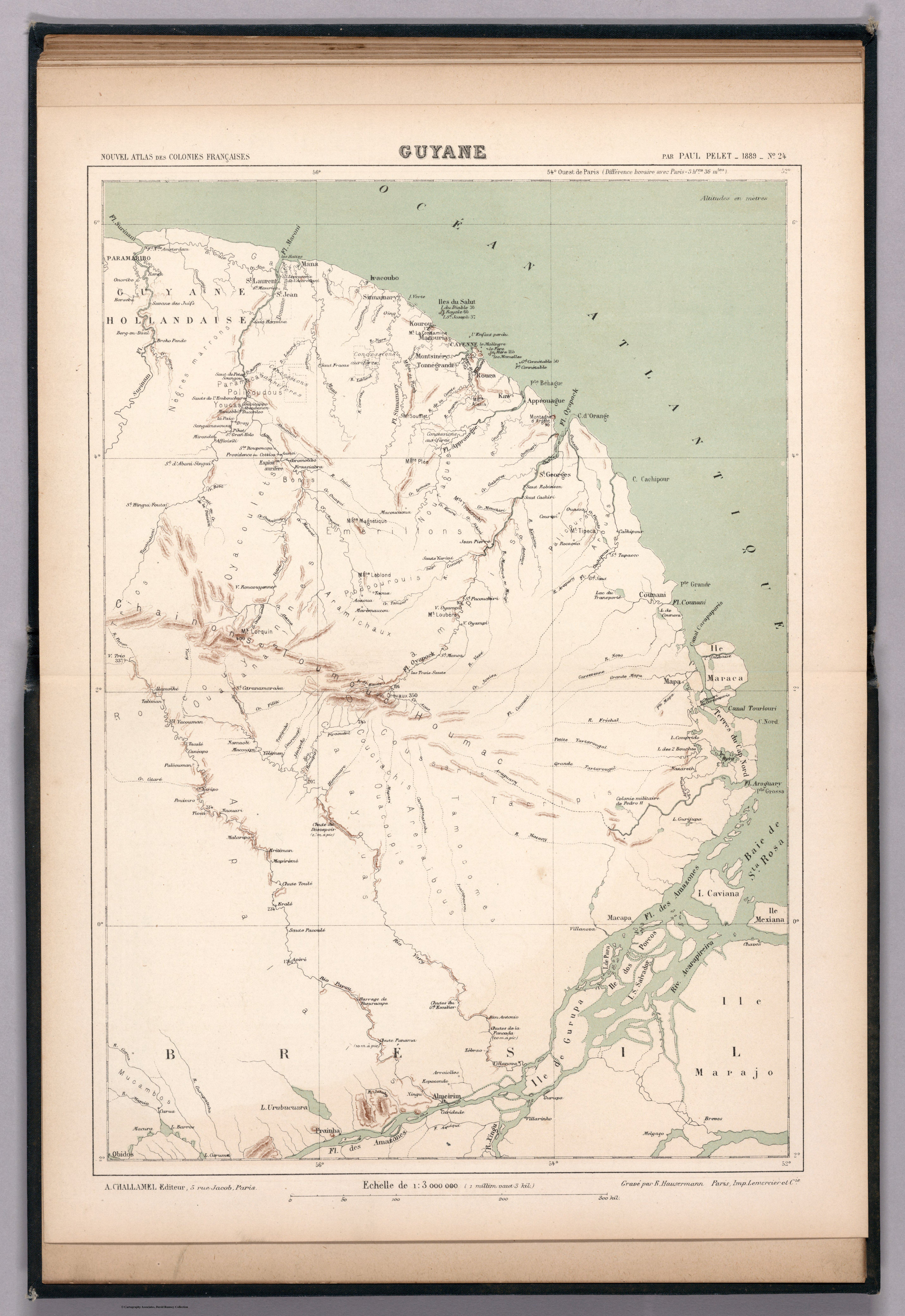
Voyage d'exploration du Docteur Crevaux, 9 juillet - 31 novembre 1877 : distribution des sauvages dans les Guyanes.

Voyage d'exploration du Docteur Crevaux, 9 juillet - 31 novembre 1877 : distribution des sauvages dans les Guyanes.

Map 1877
COLOMBIA & GUAYANA

COLOMBIA & GUAYANA

Map 1800 - 1899

Dispossessions in the Americas

A project by

University of Pennsylvania

Copyright 2024

With support from

Mellon Foundation

Site design & development

Element 84

Art Credits

Gobierno de España Ministerio de Asuntos Exteriores y de Cooperación. Atlas Sociolingüístico de Pueblos Indígenas en América Latina. By UNICEF and FUNPROEIB Andes. Report no. 1. 2009. Accessed November 7, 2021. https://www.unicef.org/lac/media/9791/file/PDF%20Atlas%20sociolinguistico%20de%20pueblos%20ind%C3%ADgenas%20en%20ALC-Tomo%201.pdf.
Site Pages

  • Home
  • Explore
  • About
  • Authors
  • Art
  • Bodies
  • Curricula
  • Cultural Heritage
  • Maps
  • Territories