Citation
Mapas españoles de América, siglos XV-XVII. Madrid: Editorial Maestre, 1951. http://consulta.archivogeneral.gov.co/ConsultaWeb/imagenes.jsp?id=3251550&idNodoImagen=3251551&ini=1&total=410
"Territorio Indígena Matambú (Chorotega)"
Map 2010
COLOMBIE;VENEZUELA;ECUADOR
Map 1930
France équinoctiale Partie méridionale et Isle de Cayenne
Map 1600 - 1699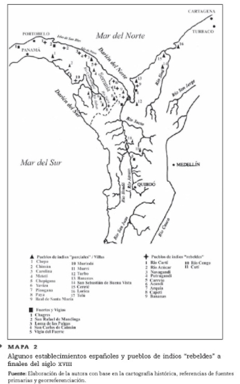
ALGUNOS ESTABLECIMIENTOS ESPANOLES Y PUELOS DE INDIOS "REBELDES" A FINALES DEL SIGLO XVII
Map 1600 - 1699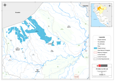
PUEBLO ACHUAR
Map 2021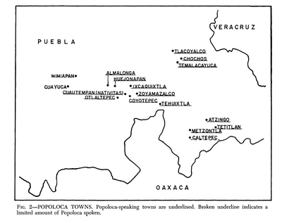
Popoloca Towns
Map 1950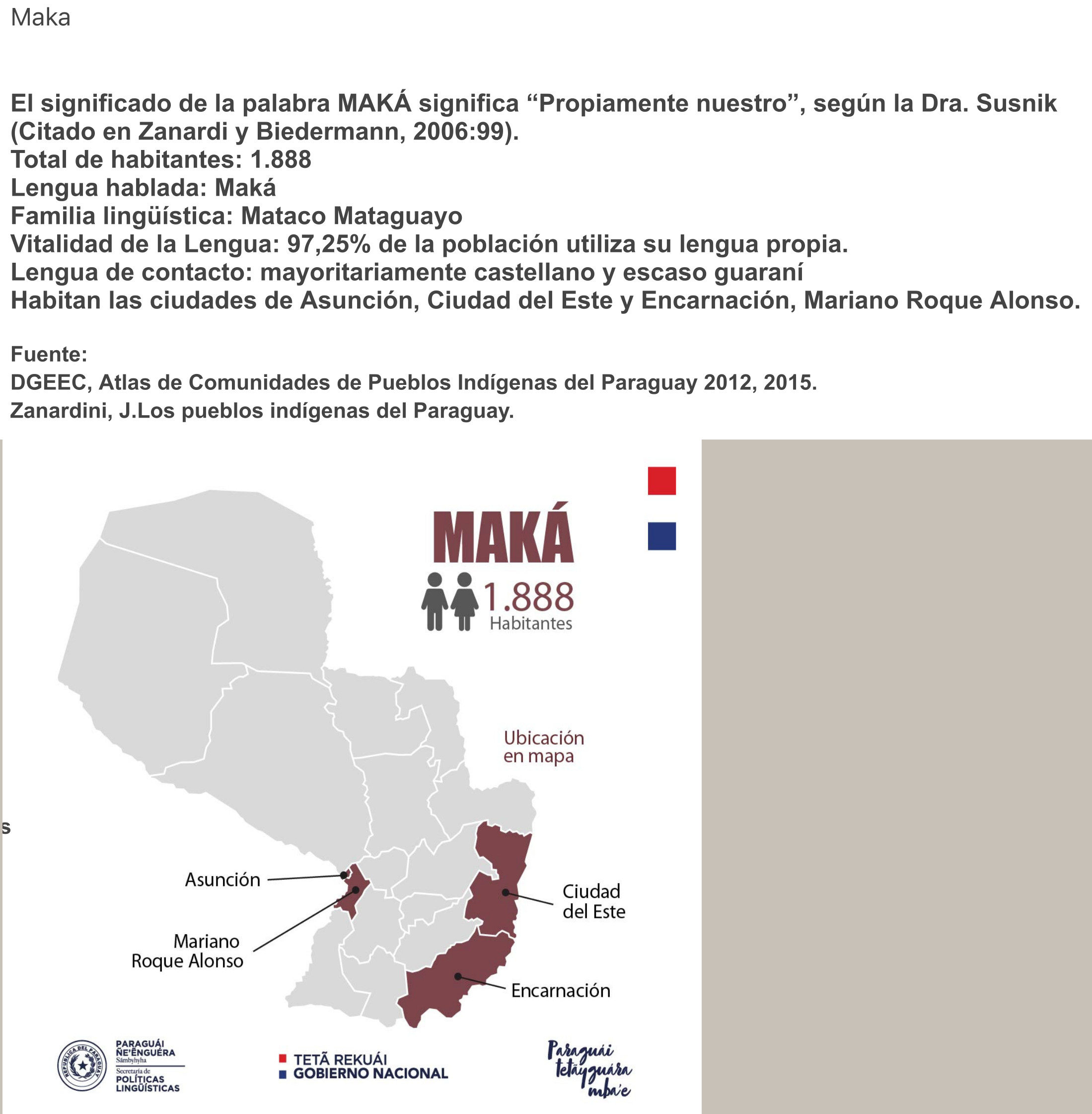
MAKÁ
Map 2015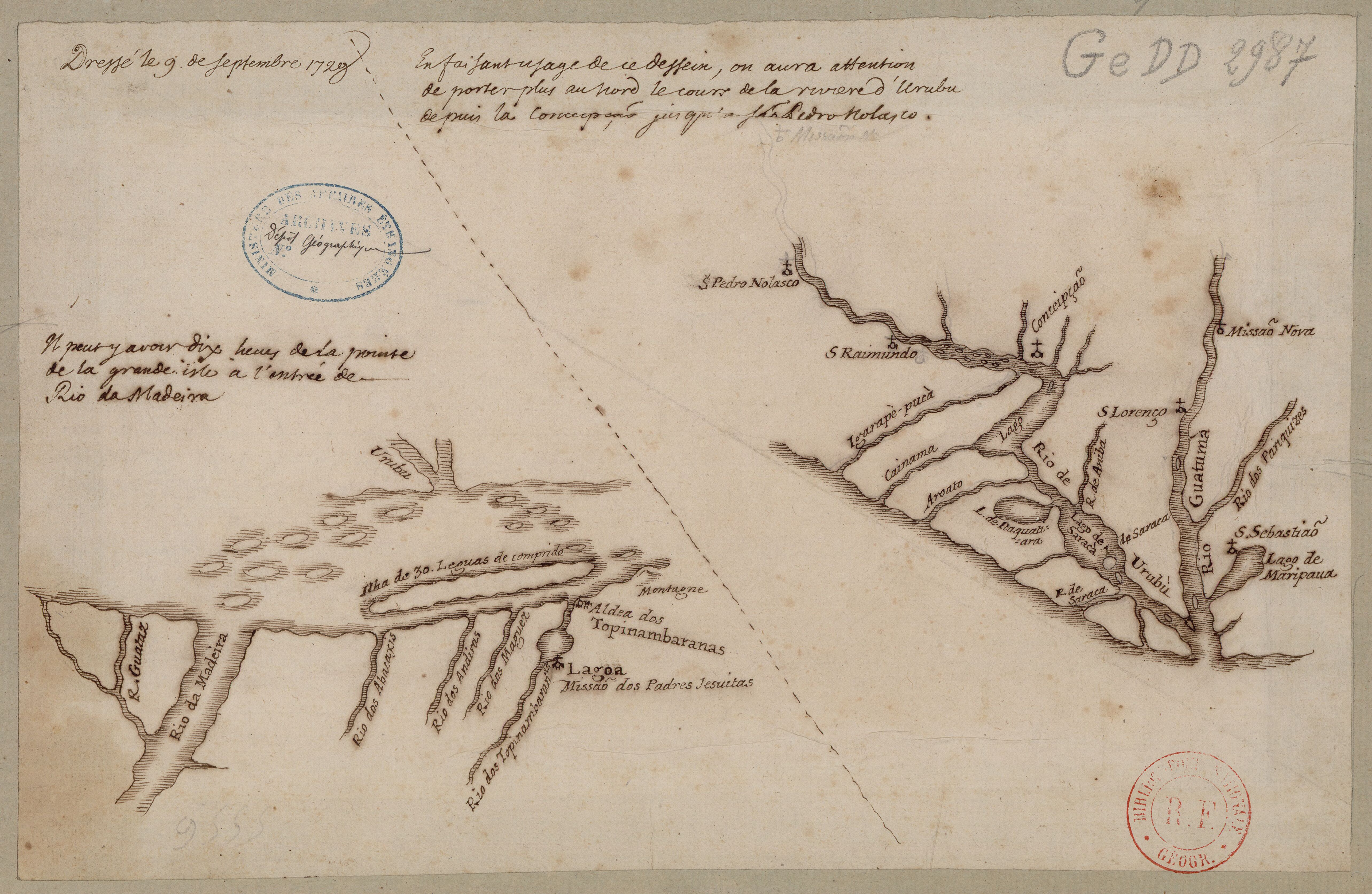
Confluent de l'Amazone, de l'Urubu et du Uatuma, confluent de l'Amazone et du Madeira
Map 1729