
Citation
Gruzinski, Serge. Painting the Conquest: the Mexican Indians and the European Renaissance. Paris: Unesco-Flammarion, 1992. NO ONLINE ACCESS TO SOURCE
Carte n°7: Limite septentrionale des poissons Paraiba et Pirarucu
Map 1740 - 1978
Mapa general de la Republica de Guatemala. Publicado por Maximilian v. Sonnenstern por orden del gobierno, 1859. Printed by J. Rau, 33 Broadway, NY. G Kraetzer lith, East New York Long Island, N.Y. "Entered according to act of Congress in the year 1859 by M.v Sonnenster...New York. (insets) Plando de la Ciudad de Guatemala;and 6 releif profiles.
Map 1800
Carte du cours de la rivière de Sinnamary depuis son embouchure jusqu'au saut, relevée à la boussole et par estime, le 30 octobre 1763, et corrigée le 8 novembre 1764 en mesurant les faces des habitations sur cette rivière conformément aux ordres de Mr. de Chauvalon.
Map 1764
ZACATECAS
Map 2015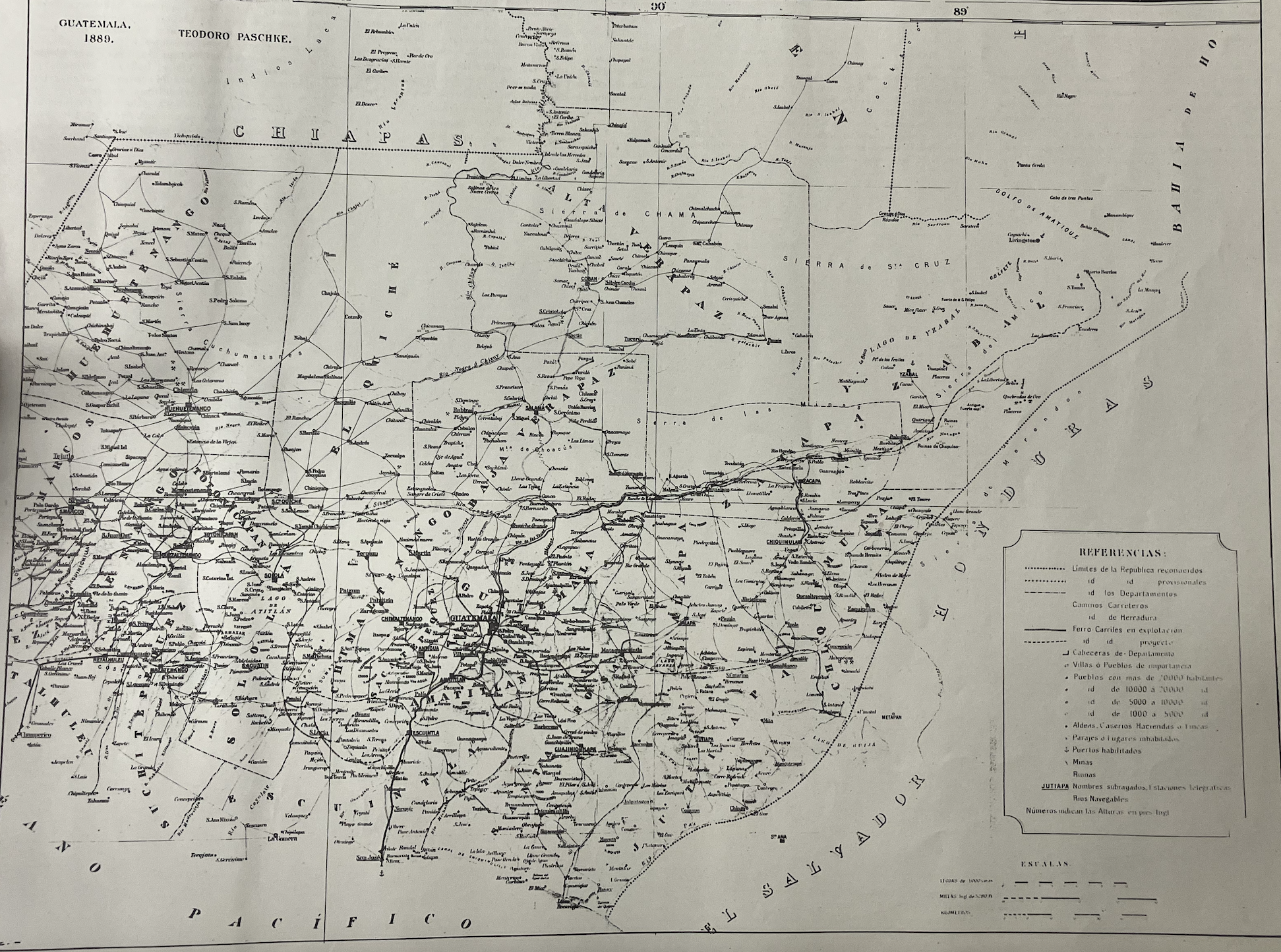
Mapa de la Republica de Guatemala, America Central
Map 1880 - 1900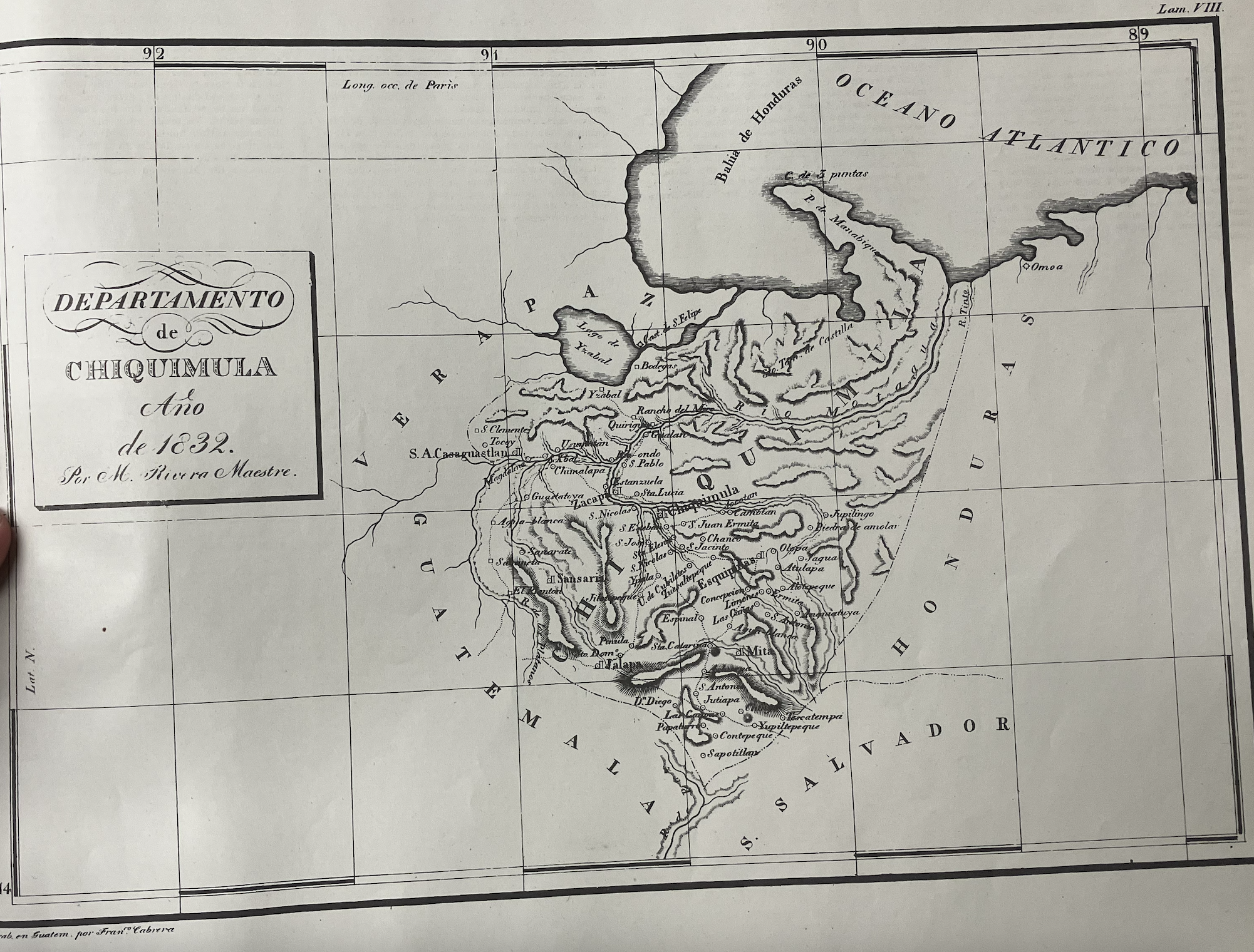
Departamento de Chiquimula
Map 1830 - 1832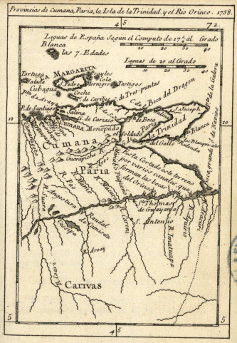
Provincias de Cumana;Paria;la Isla de la Trinidad;y el Rio Orinoco. 1758.
Map 1758![Libro para visitas para Seropositivo [Guestbook for Seropositive]](https://dnet8ble6lm7w.cloudfront.net/art_sm/ACOL010.png)
Libro para visitas para Seropositivo [Guestbook for Seropositive]
Artwork