
Citation
Gruzinski, Serge. Painting the Conquest: the Mexican Indians and the European Renaissance. Paris: Unesco-Flammarion, 1992. NO ONLINE ACCESS TO SOURCE
Serie Fatherland / Padre Patria
Artwork![La partie méridionale de l'Amérique appelée Terre Ferme ou se trouve [sic] les provinces ou grands gouvernements de la Guiane et de la Nouvelle Grenade Cette dernière province subdivisée en Popaya;Cartagene;Ste. Marthe;Rio de la Hacha;Venezuela et Nouvelle Andalousie Le pays et le cours de la rivière des Amazones Au sud de cette carte;comme l'istme de Panama ou nord-ouest;si [sic] trouvent assé bien détaillez](https://dnet8ble6lm7w.cloudfront.net/maps/CNT/CNT0020.jpeg)
La partie méridionale de l'Amérique appelée Terre Ferme ou se trouve [sic] les provinces ou grands gouvernements de la Guiane et de la Nouvelle Grenade Cette dernière province subdivisée en Popaya;Cartagene;Ste. Marthe;Rio de la Hacha;Venezuela et Nouvelle Andalousie Le pays et le cours de la rivière des Amazones Au sud de cette carte;comme l'istme de Panama ou nord-ouest;si [sic] trouvent assé bien détaillez
Map 1719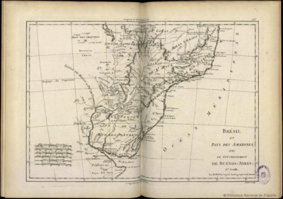
Brésil et Pays des Amazones, avec le Gouvernement de Buenos-Ayres
Map 1788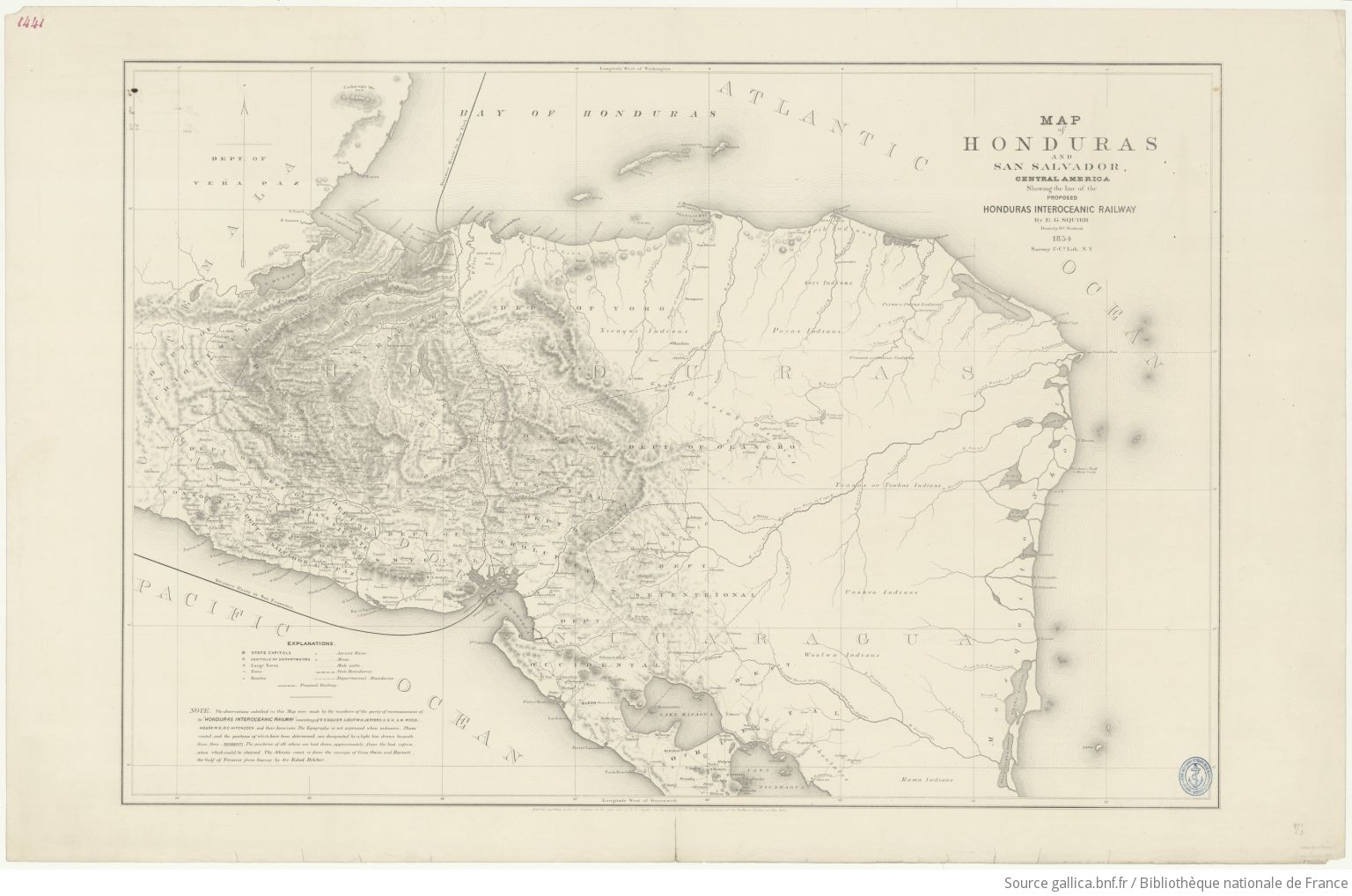
Map of Honduras and San Salvador, Central America, Showing the line of the proposed Honduras Interoceanic Railway
Map 1854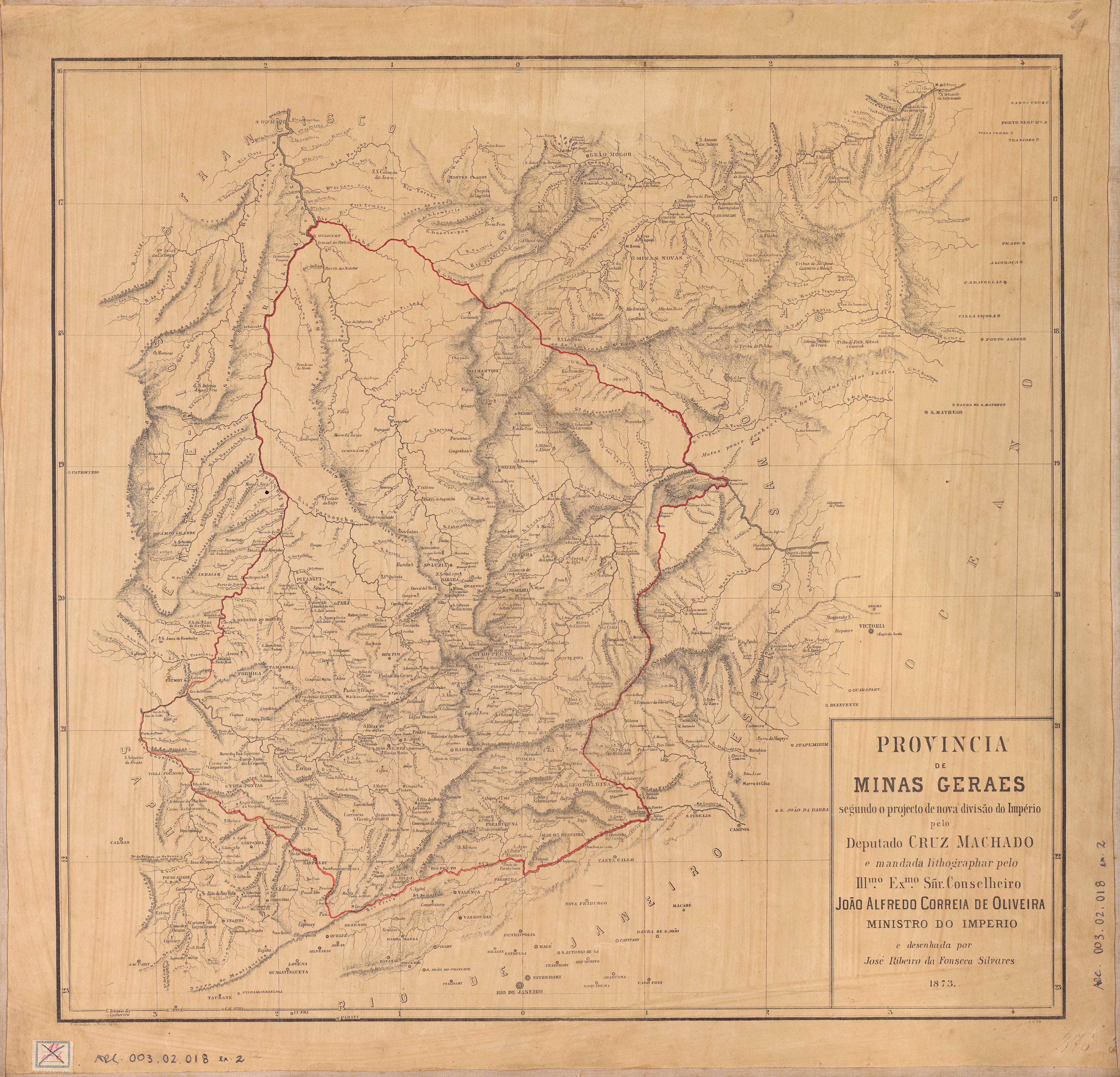
PROVINCIA DE MINAS GERAES
Map 1873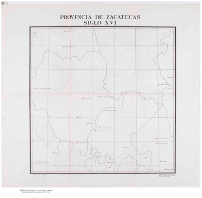
Provincia de Zacatecas
Map 1600 - 1699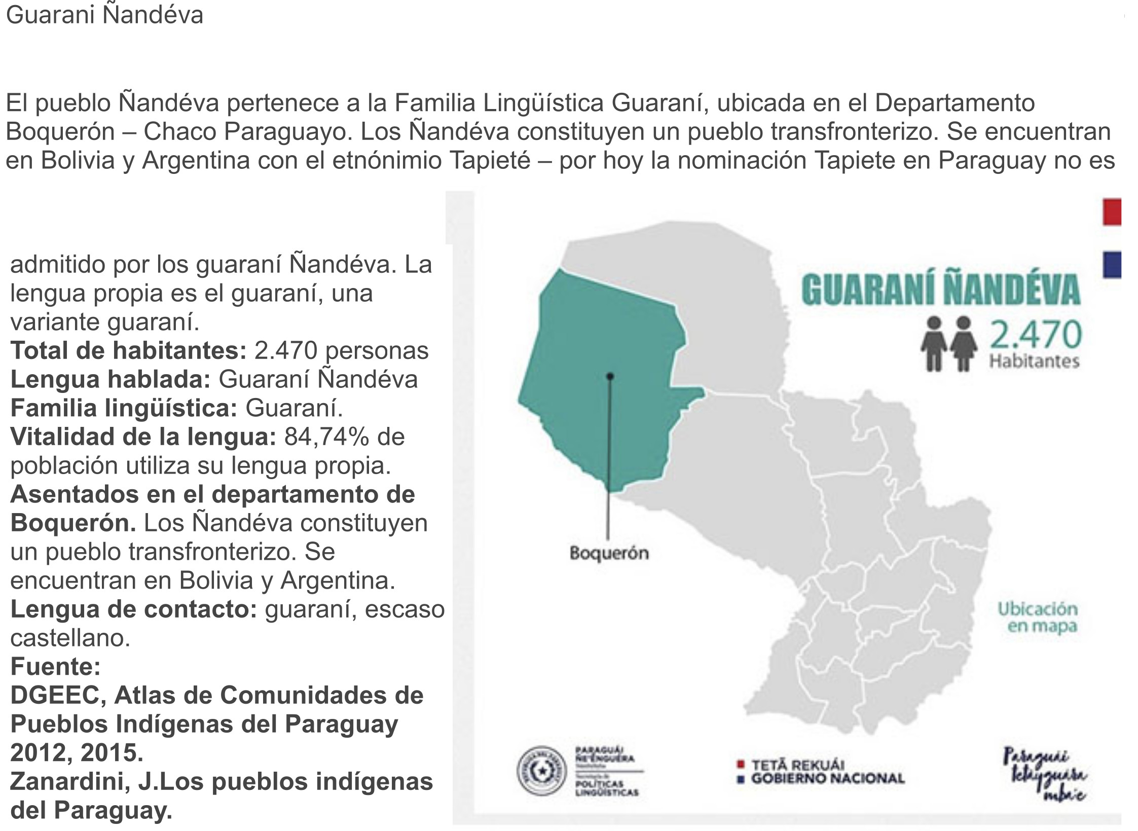
GUARANÍ ÑANDÉVA
Map 2015
MÉXICO
Map 2015