Peoples
- HUASTEC
Citation
Gantús Inurreta, Fausta, Carlos Alcalá, and Laura Villanueva. Campeche: Historia breve. Breves Historias. Ciudad de México: Fondo de Cultura Económica, 2016. https://www-digitaliapublishing-com.proxy.library.upenn.edu/a/64095/.
![Proyecto “Ranti-Ranti Acuerdo de Trueque” ["Ranti-Ranti Barter Agreement" Project]](https://dnet8ble6lm7w.cloudfront.net/art_sm/AECU014.png)
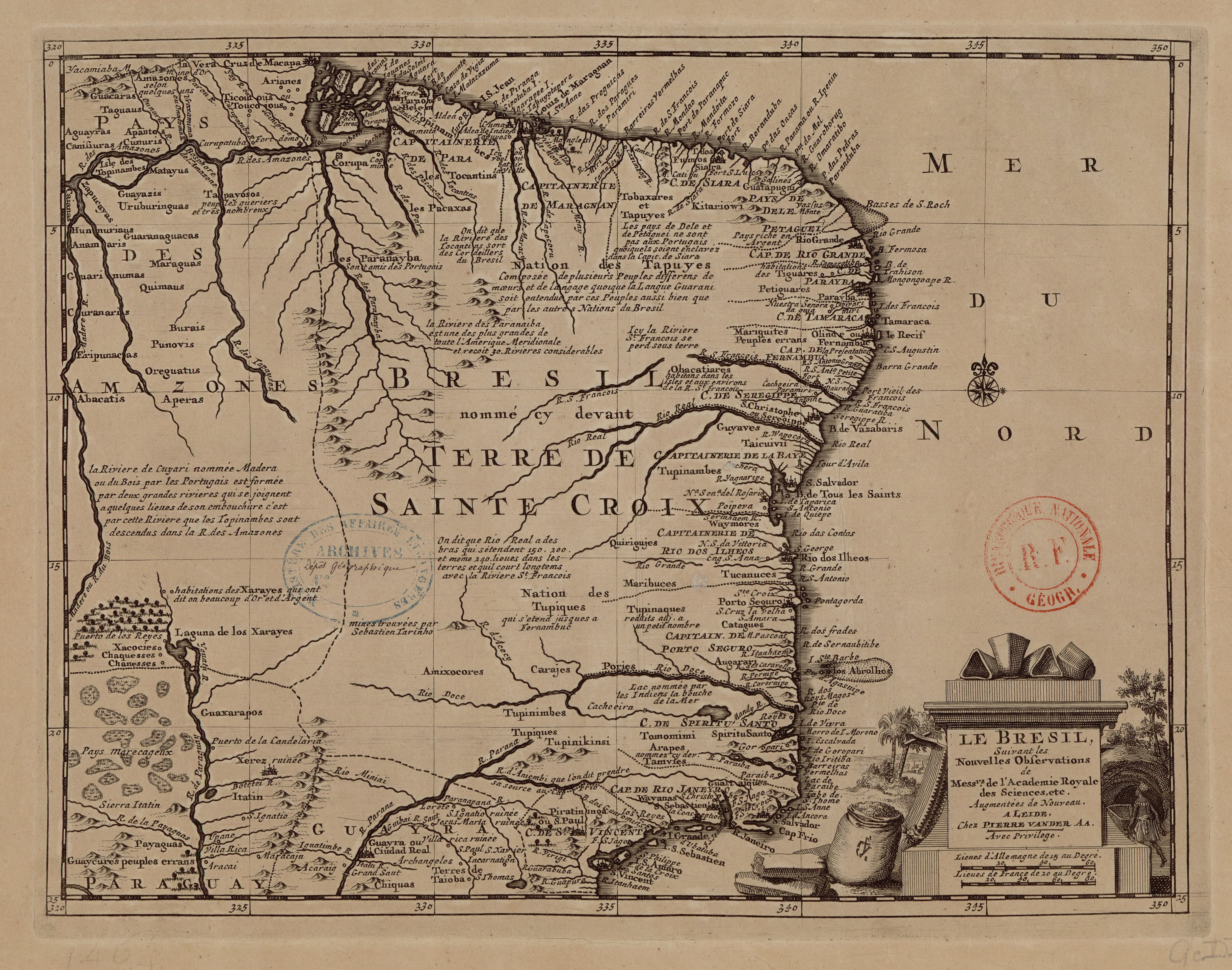
![Carte de la partie de l'Yucatan concedée aux Anglais: [traités de 1783 et 1786].](https://dnet8ble6lm7w.cloudfront.net/maps/BEL/BEL0058.jpeg)