
Peoples
- TEPEHUA
Citation
Instituto Nacional de los Pueblos Indígenas. "Tepehuas – Ubicación." Atlas de los Pueblos Indígenas de México. Accessed August 13, 2021. http://atlas.inpi.gob.mx/tepehuas-ubicacion/.
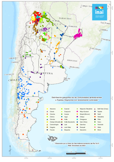
Distribución geográfica de las Comunidades pertenecientes a Pueblos Originarios con relevamiento culminado
Map 2023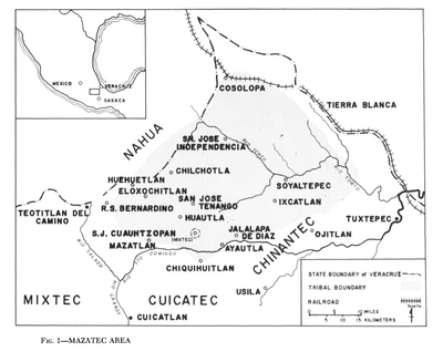
Mazatec Area
Map 1969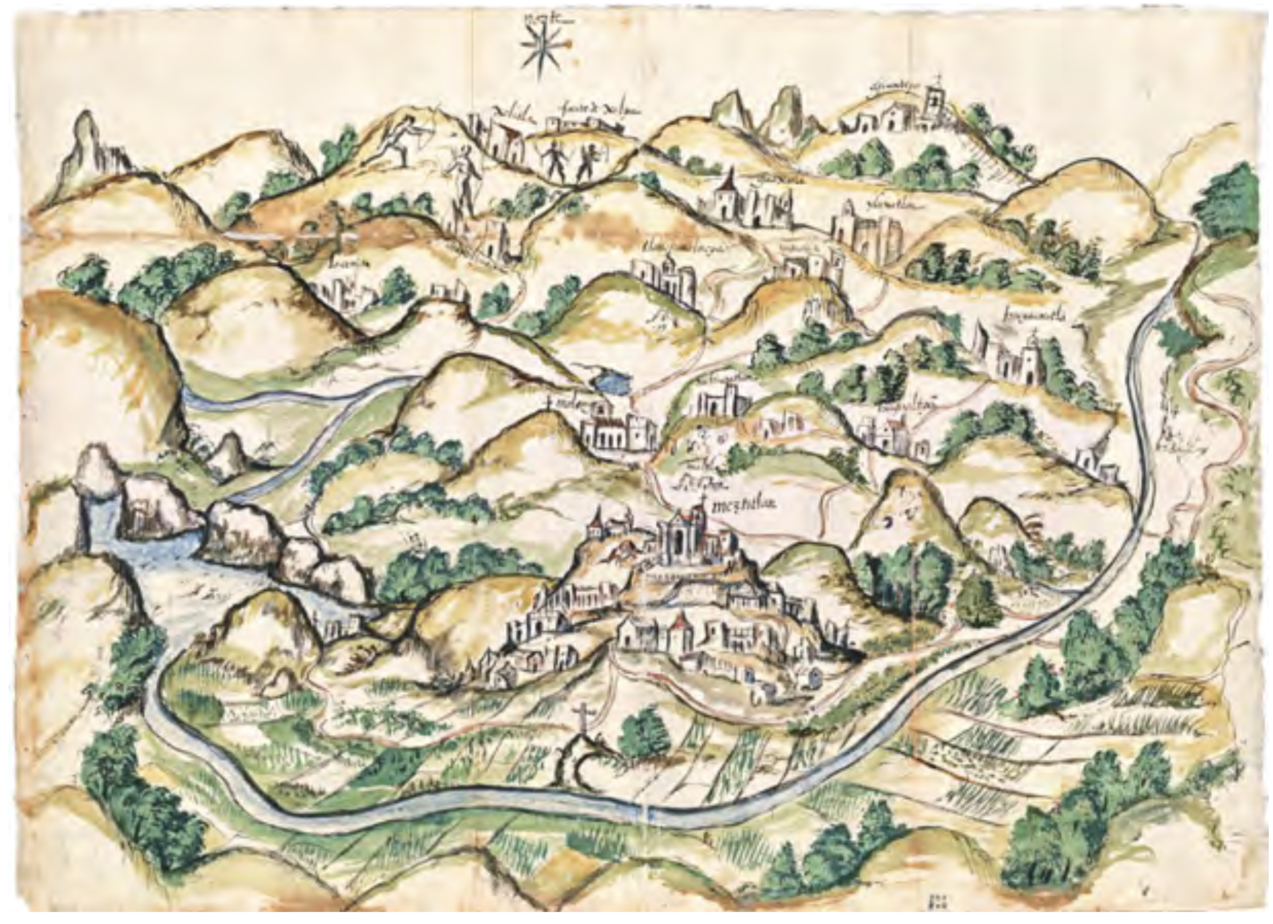
RELACIÓN GEOGRÁFICA DE MEZTITLÁN
Map 1500 - 1599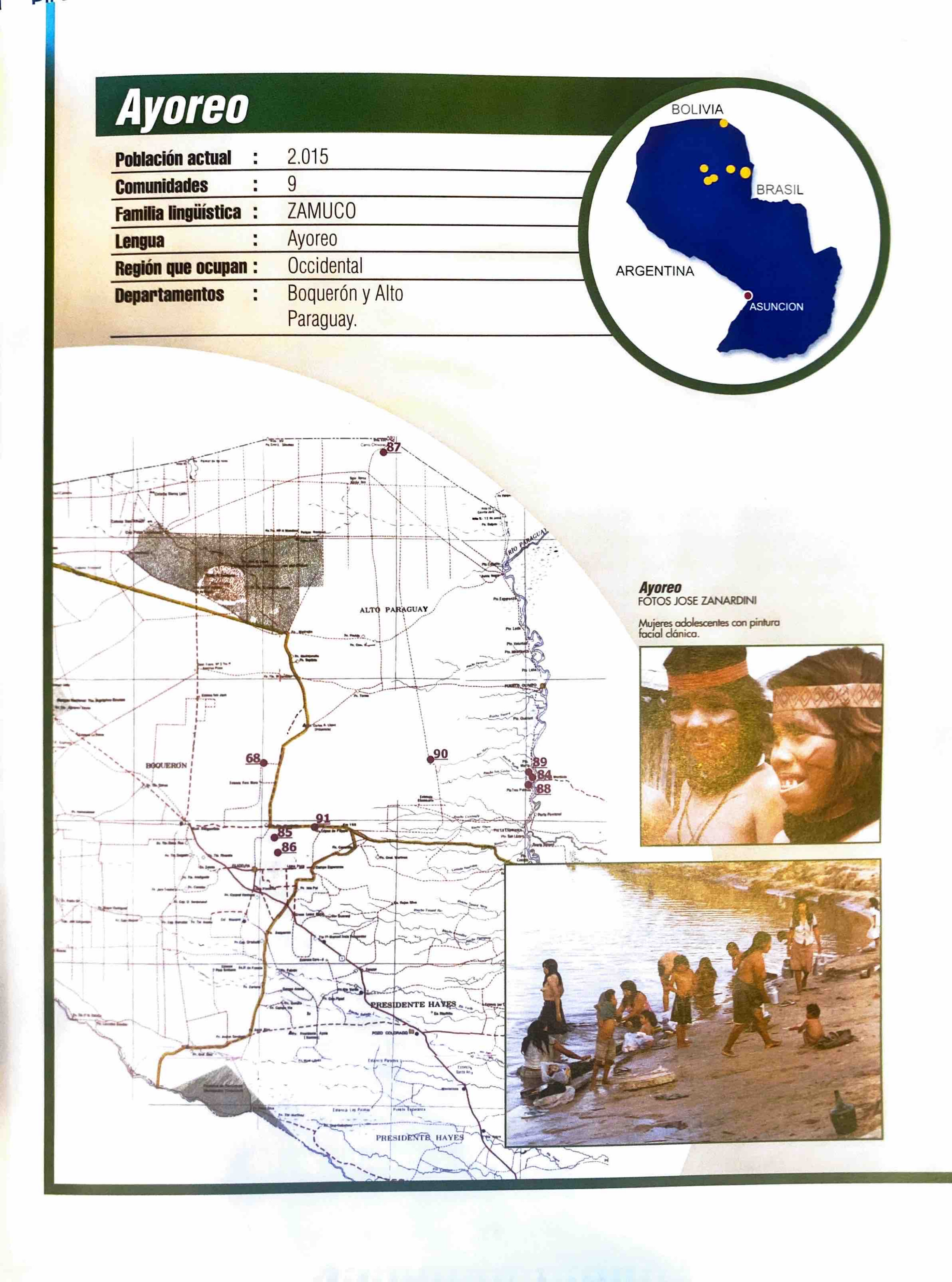
Ayoreo
Map 2001![[Carta particolare della costa di Guiana]](https://dnet8ble6lm7w.cloudfront.net/maps/CNT/CNT0213.jpg)
[Carta particolare della costa di Guiana]
Map 1600 - 1699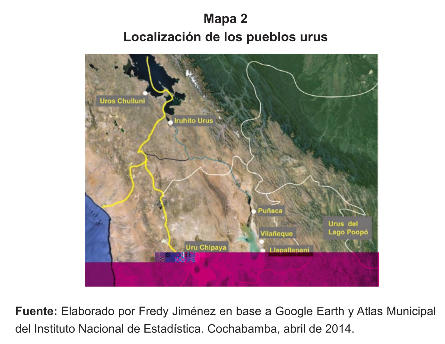
Localización de los pueblos urus
Map 2014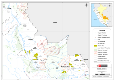
PUEBLO YINE
Map 2021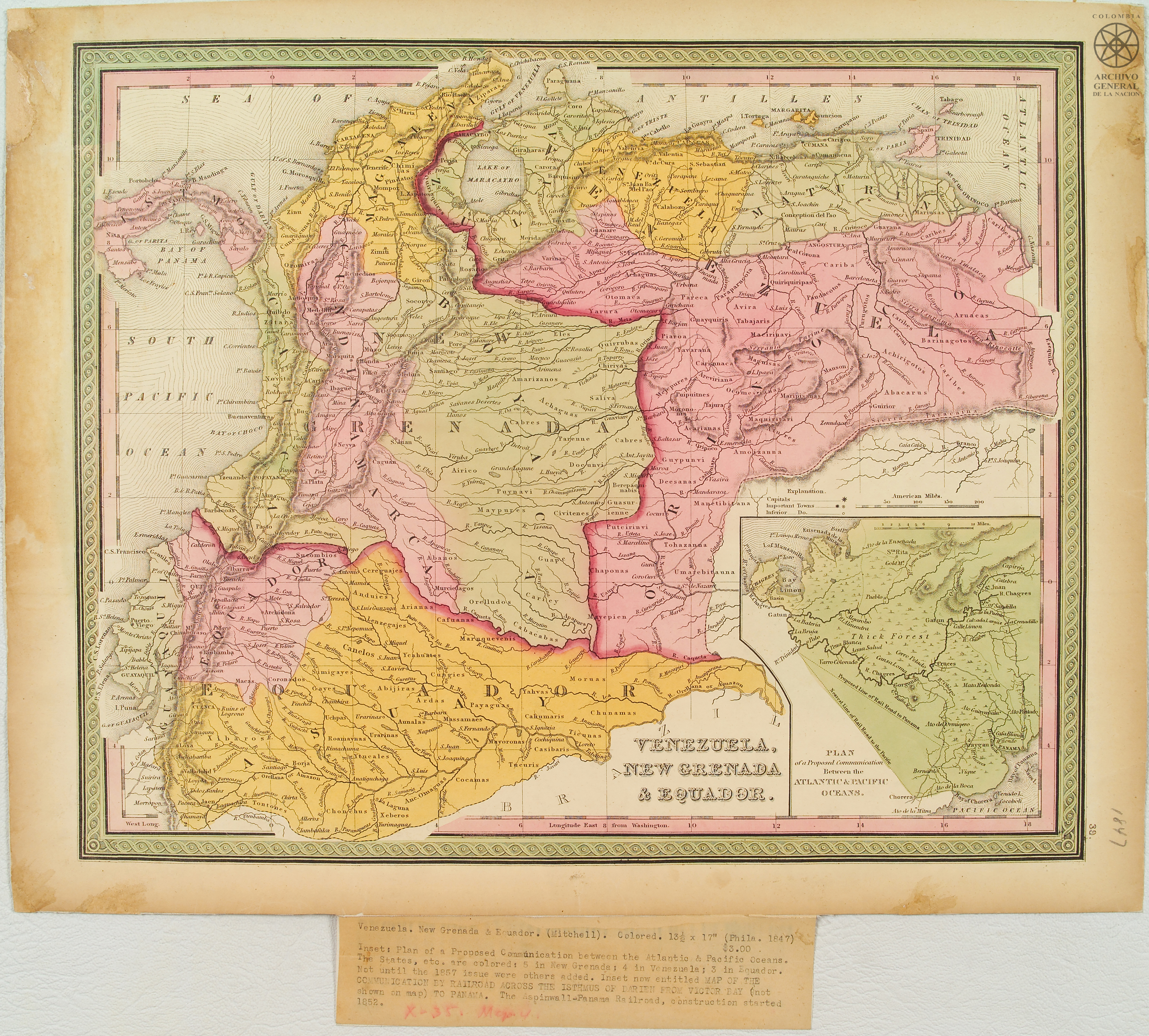
Venezuela;New Granada & Equador.
Map 1847