
Peoples
- TARAHUMARA
Citation
Instituto Nacional de los Pueblos Indígenas. "Tarahumaras – Ubicación." Atlas de los Pueblos Indígenas de México. Accessed August 13, 2021. http://atlas.inpi.gob.mx/tarahumaras-ubicacion/.
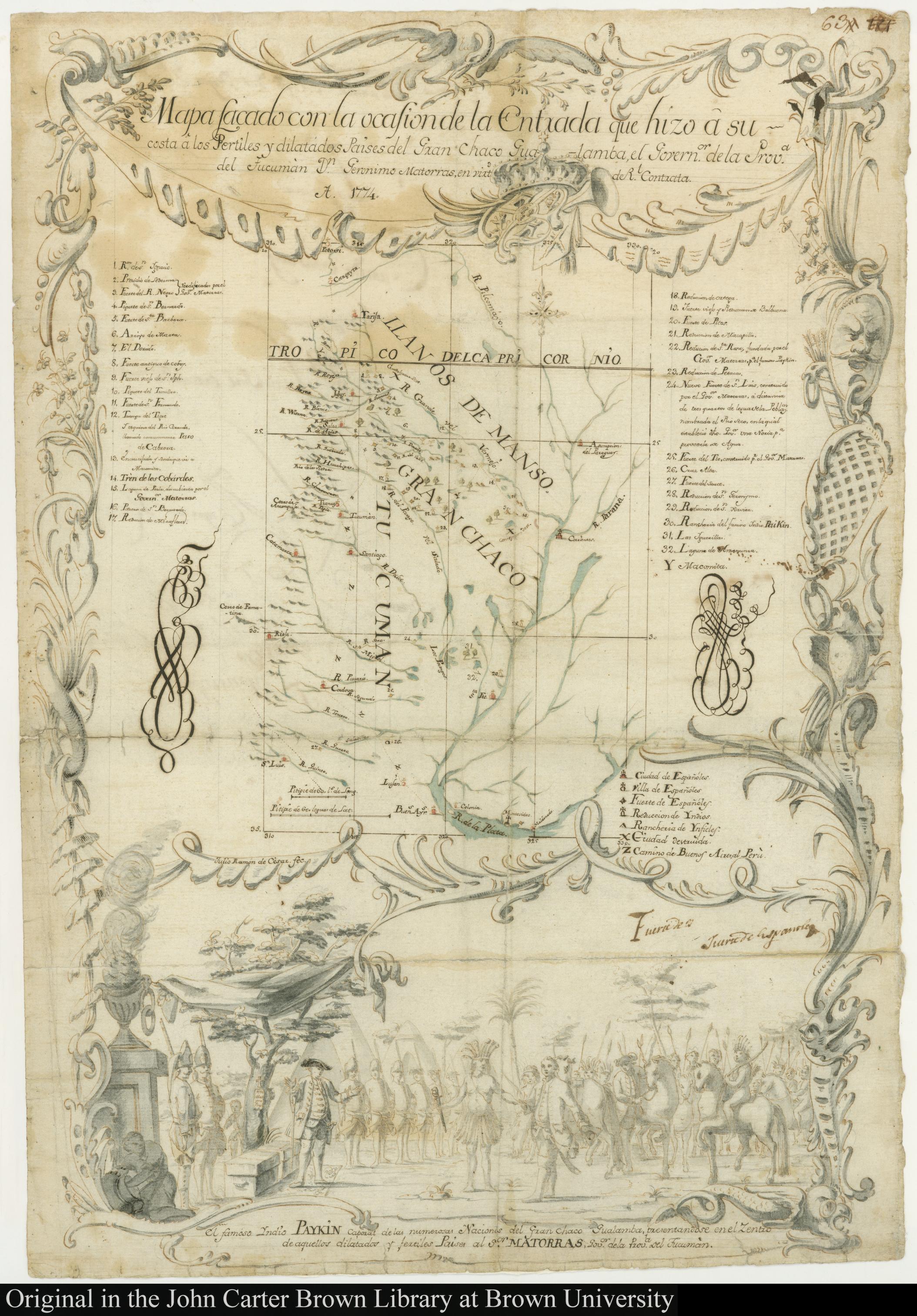
MAPA SACADO CON LA OCASION DE LA ENTRADA QUI HIZO Â SU COSTA Â LOS FERTILES Y DILATADOS PAISES DEL GRAN CHACO GUALAMBA
Map 1774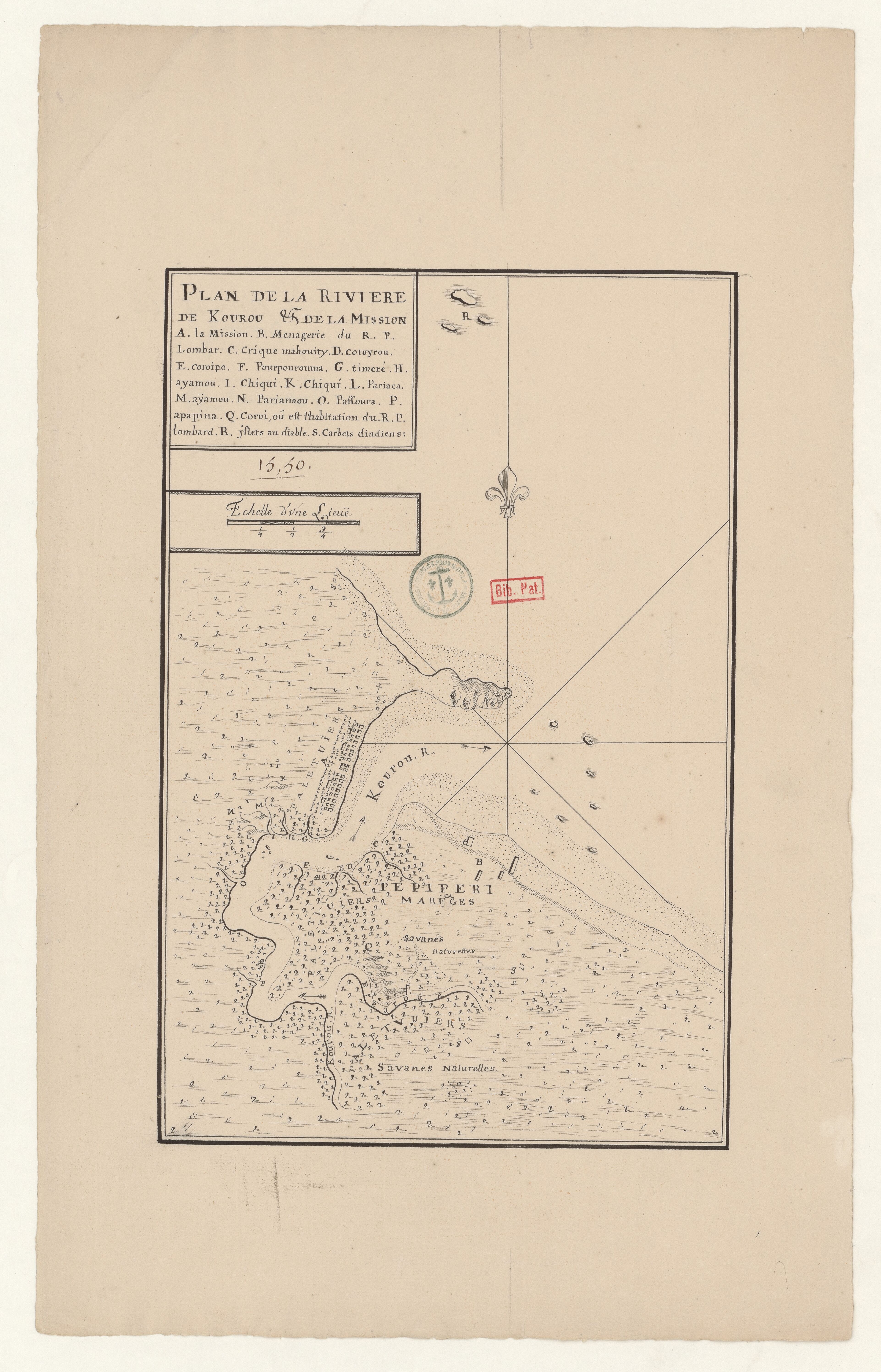
Plan de la Rivière de Kourou et de la mission.
Map 1700 - 1799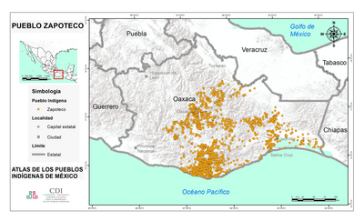
PUEBLO ZAPATECO
Map 2020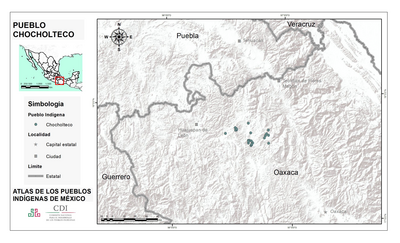
PUEBLO CHOCHOLTECO
Map 2020![Monumento V [Monument V]+N161](https://dnet8ble6lm7w.cloudfront.net/art_sm/AMEX005.png)
Monumento V [Monument V]+N161
Artwork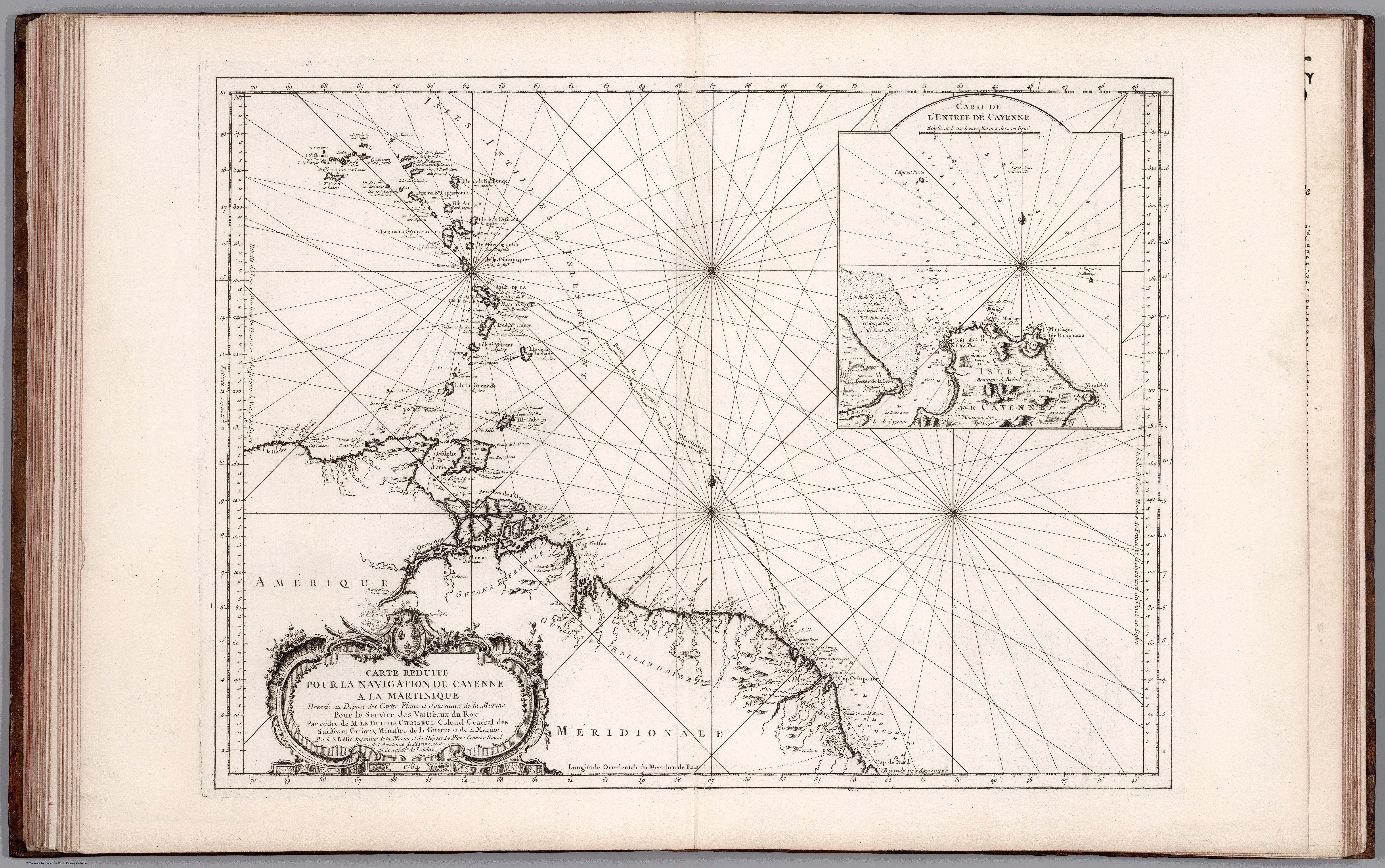
Carte Réduite Pour la Navegaton de Cayenne a la Martinique. Dressée au Dépost des Cartes Plans et Journaux de la Marine Pour le Service des Vaisseaux du Roy. Par ordre de M. le Duc des Choiseul Colonel Géneral des Suisses et Grisons;Ministre de la Guerre et de la Marine.
Map 1700 - 1799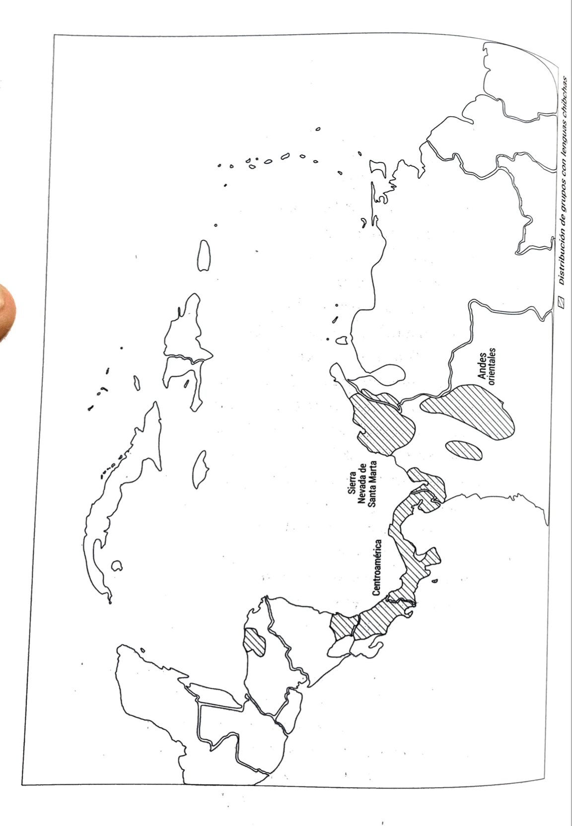
DISTRIBUCION DE GRUPOS CON LENGUAS CHIBCHAS
Map 2019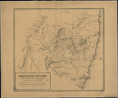
PROVINCIA DE SANTA CRUZ
Map 1873