
Peoples
- SERI
Citation
Instituto Nacional de los Pueblos Indígenas. "Seris – Ubicación." Atlas de los Pueblos Indígenas de México. Accessed August 13, 2021. http://atlas.inpi.gob.mx/seris-ubicacion/.
EMBOUCHURE DE LA RIVIERE DES AMAZONES
Map 1727
Map of Nicaragua showing departmental divisionsand projected routes of interoceanic communication.
Map 1851
VENEZUELA
Map 1878
Southern Tepehuan and Tepecano
Map 1969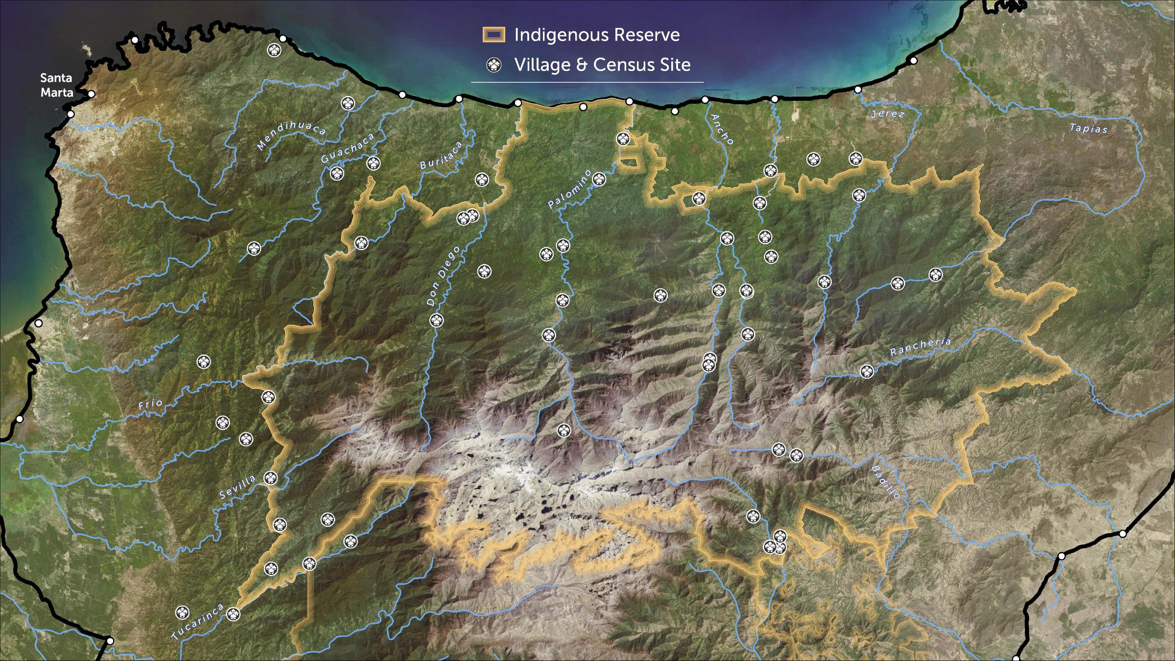
STRENGTHENING INDIGENOUS LAND RIGHTS IN COLOMBIA
Map 2019 - 2020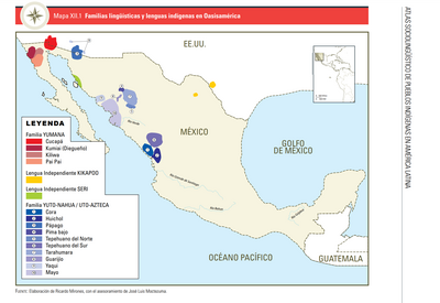
FAMILIAS LINGUÍSTICAS Y LENGUAS INDÍGENAS EN OASISAMÉRICA
Map 2009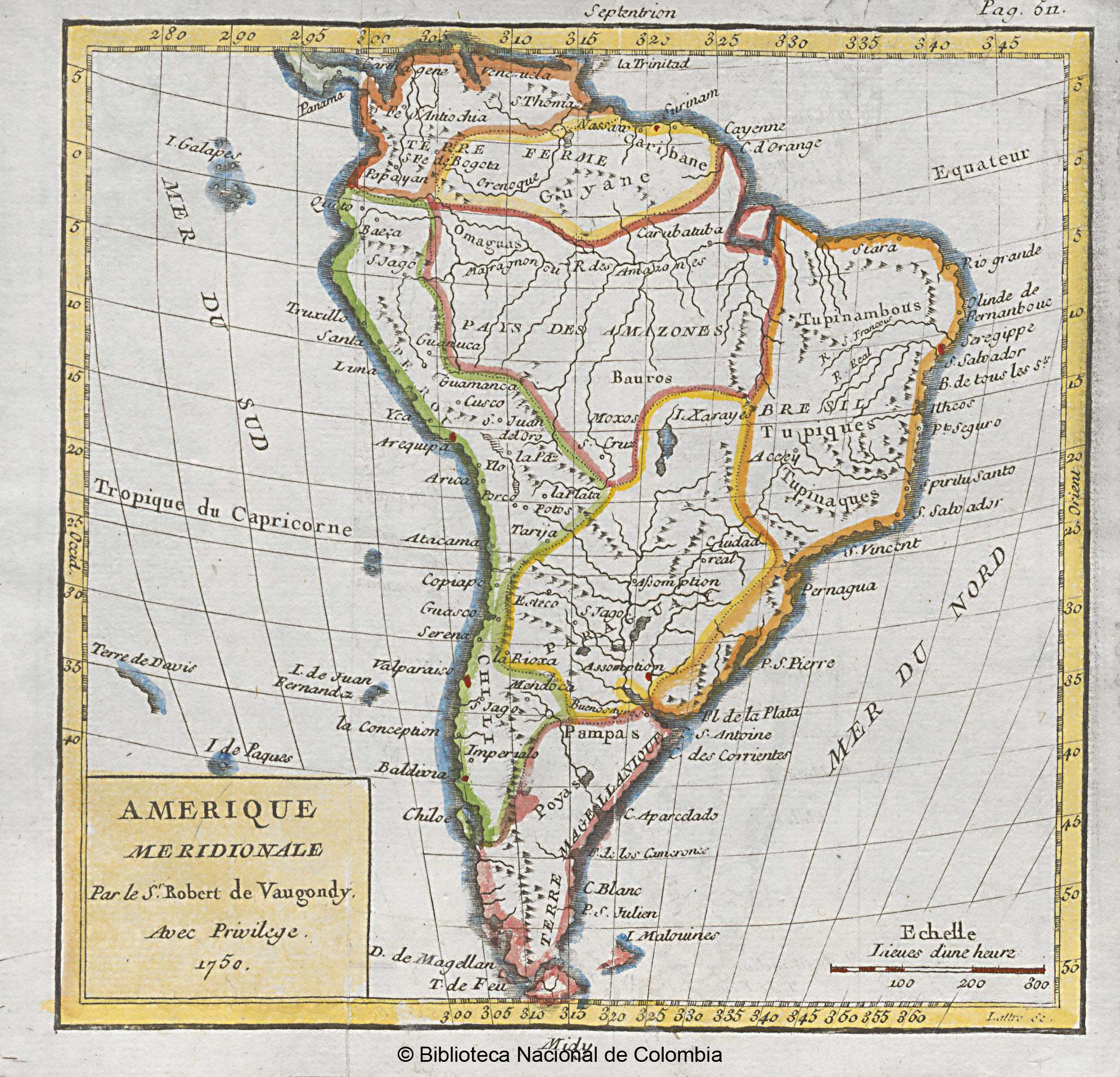
AMERIQUE MERIDIONALE
Map 1750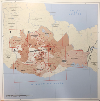
INTENDENCIA DE OAXACA
Map 1800