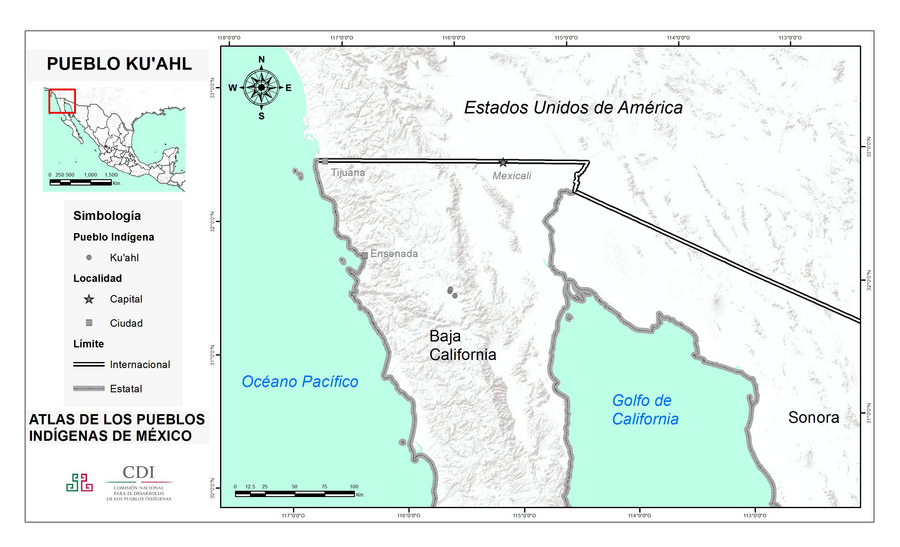
Peoples
- KUAHL
Citation
Instituto Nacional de los Pueblos Indígenas. "Ku'ahles – Ubicación." Atlas de los Pueblos Indígenas de México. Accessed July 7, 2021. http://atlas.inpi.gob.mx/kuahles-ubicacion/.
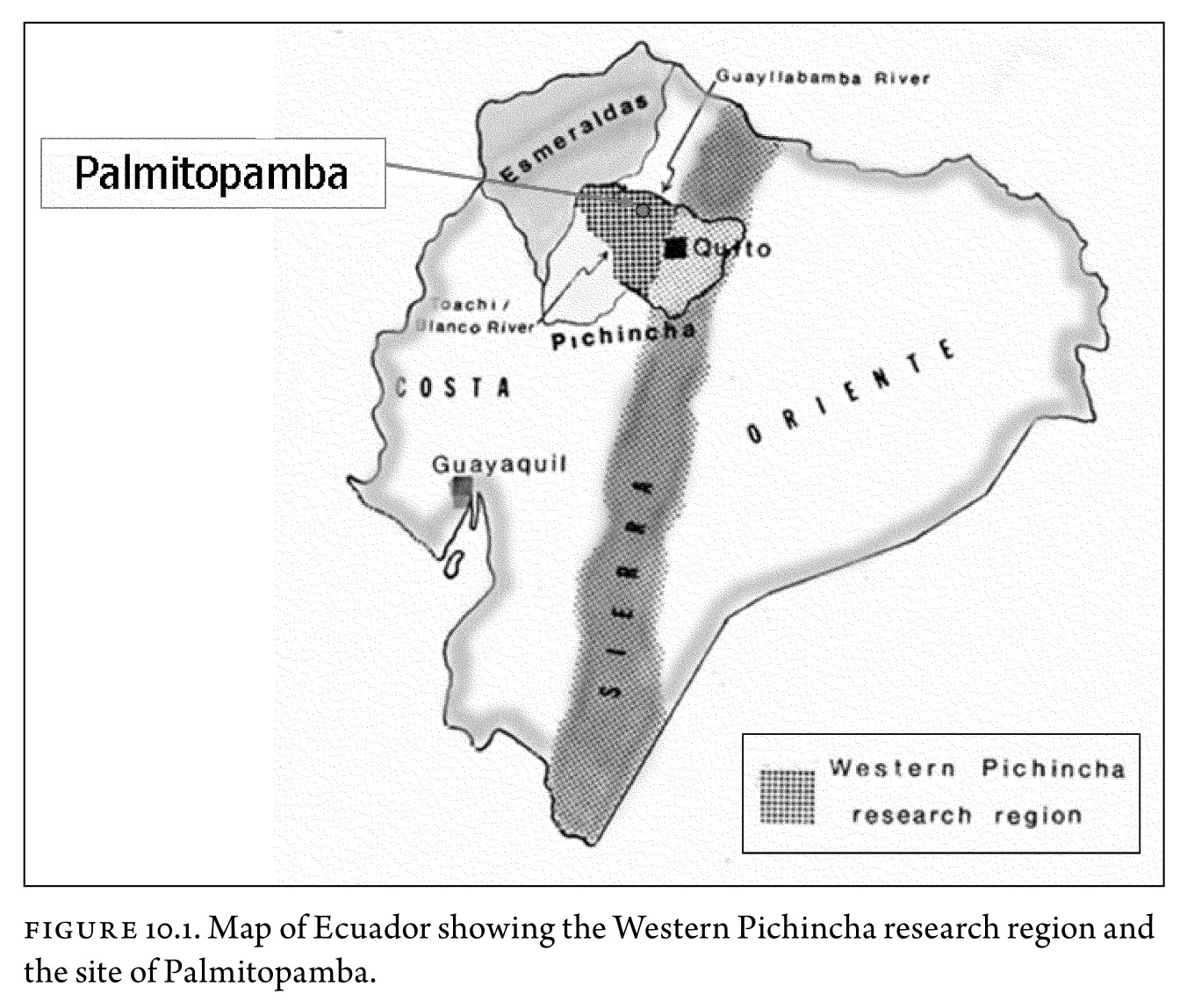
Figure 10.1. Map of Ecuador showing the Western Pichincha research region and the site of Palmitopamba.
Map -700 - 1534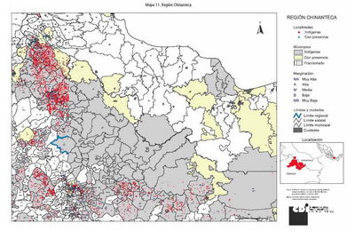
REGIÓN CHINANTECA
Map 2000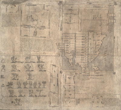
MAPA DE OZTOTÍCPAC
Map 1500 - 1599
Carte 23: Guyane
Map 1900 - 1999
Mosquitia or The Mosquito Shore with The Eastern Part of Yucatán as far as the 20th Degree of North Latitude
Map 1787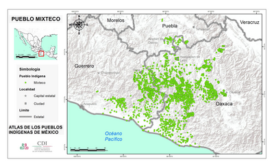
PUEBLO MIXTECO
Map 2020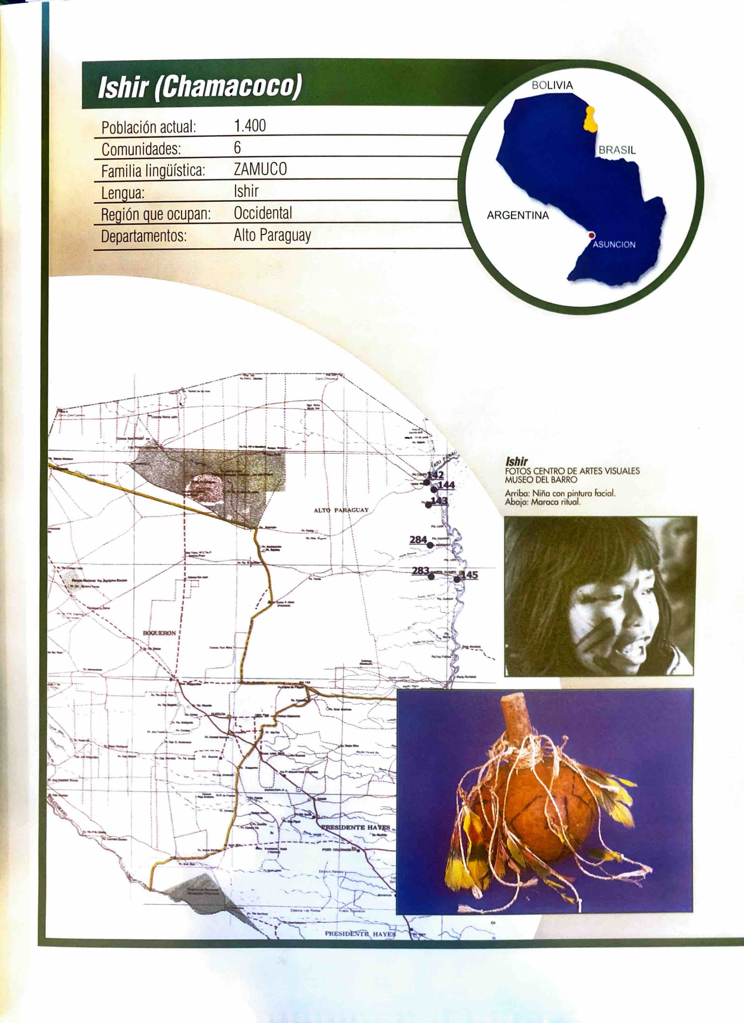
Ishir (Chamacoco)
Map 2001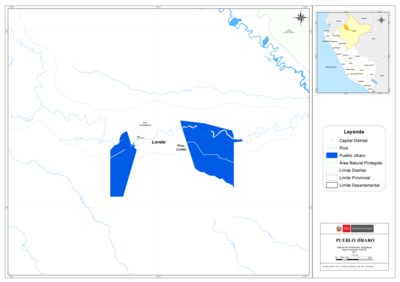
PUEBLO JÍBARO
Map 2021