Peoples
- CHICHIMECA JONAZ
Citation
Instituto Nacional de los Pueblos Indígenas. "Chichimecas – Ubicación." Atlas de los Pueblos Indígenas de México. Accessed August 11, 2021. http://atlas.inpi.gob.mx/chichimecas-ubicacion/.
The Founding of Tenochtitlan-Mexico Codex Mendoza, Pl 1
Map 1541![Revolución Puta [Whore Revolution]](https://dnet8ble6lm7w.cloudfront.net/art_sm/AMEX012.png)
Revolución Puta [Whore Revolution]
Artwork
Mabil Ha
Map 1997
Côtes du Brésil de Bahia de todos los Sancts à Spirito Santo
Map 1779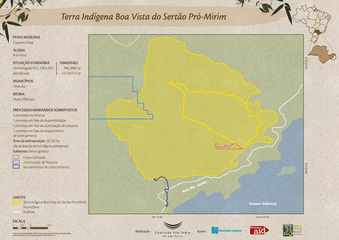
Terra Indígena Boa Vista do Sertão Pró-Mirim
Map 2012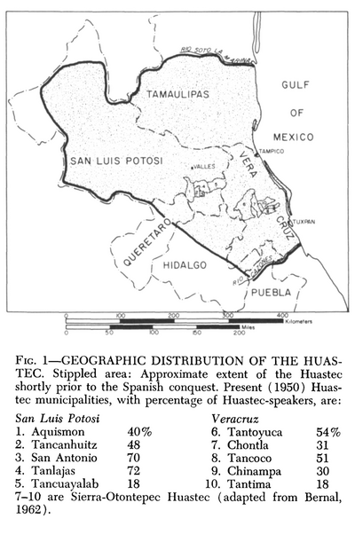
Geographic Distribution of the Huastec
Map 1969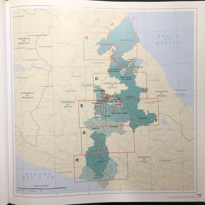
INTENDENCIA DE PUEBLA
Map 1800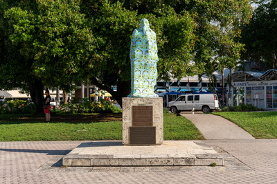
Cover-up of the Ponce de Leon statue at the Antorcha de la Amistad in Miami, Florida
Artwork