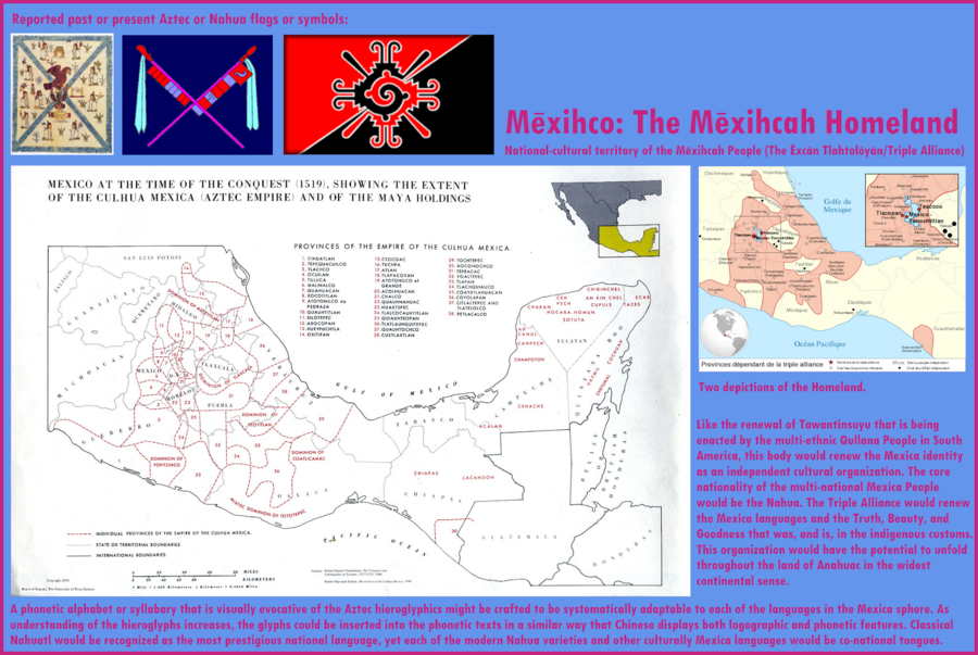
Peoples
- TRIPLE ALLIANCE
- MAYA
Citation
"Mexihco: The Mexihca Homeland." Infographic. Accessed May 4, 2021. https://lh3.googleusercontent.com/-CQEKE0h1Ntw/Tanbw5gY_PI/AAAAAAAAZdE/oji_KP6SFEc/s2048-Ic42/Mexica%252520Homeland.png.
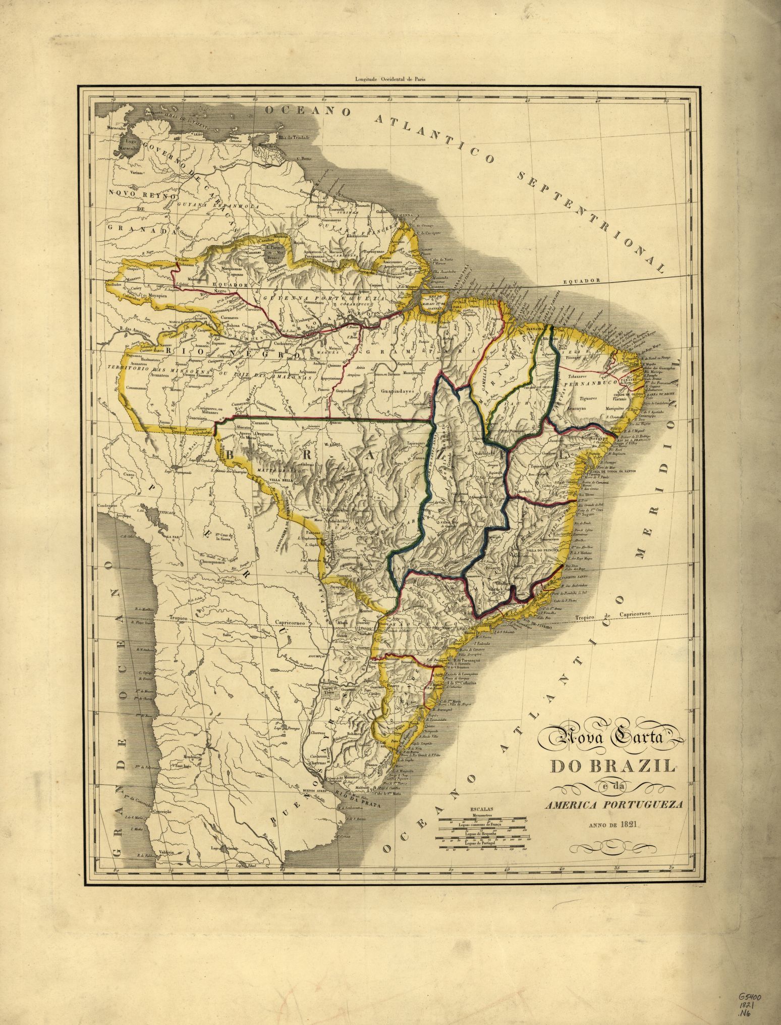
Nova carta DO BRAZIL e da AMERICA PORTUGUEZA
Map 1821!["Senza titolo" ["Untitled"]](https://dnet8ble6lm7w.cloudfront.net/art_sm/ABRA015.png)
"Senza titolo" ["Untitled"]
Artwork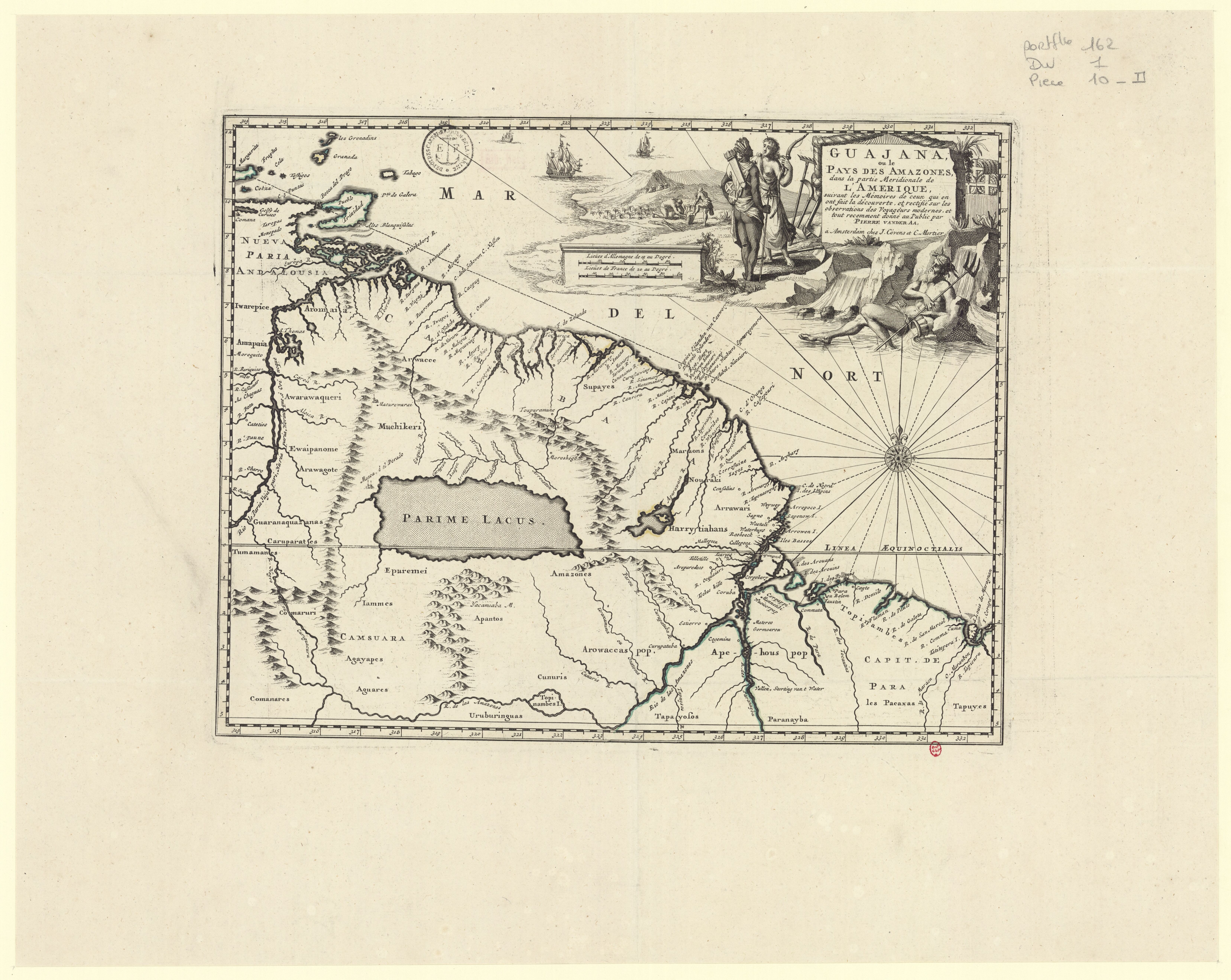
Guajana, ou le Pays des Amazones, dans la partie Méridionale de l'Amérique, suivant les Mémoires de ceux qui en ont fait la découverte, et rectifié sur les observations des Voyageurs modernes, et tout récemment donné au public.
Map 1700 - 1799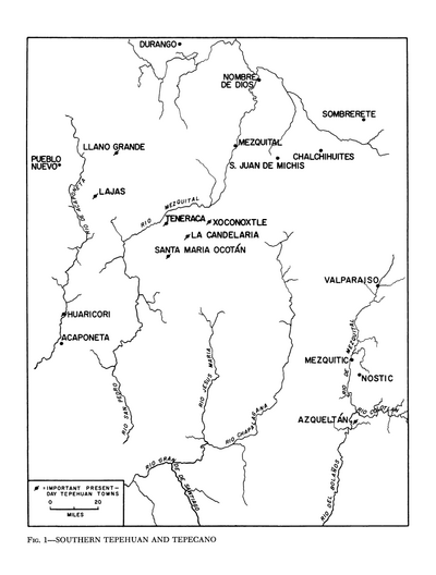
Southern Tepehuan and Tepecano
Map 1969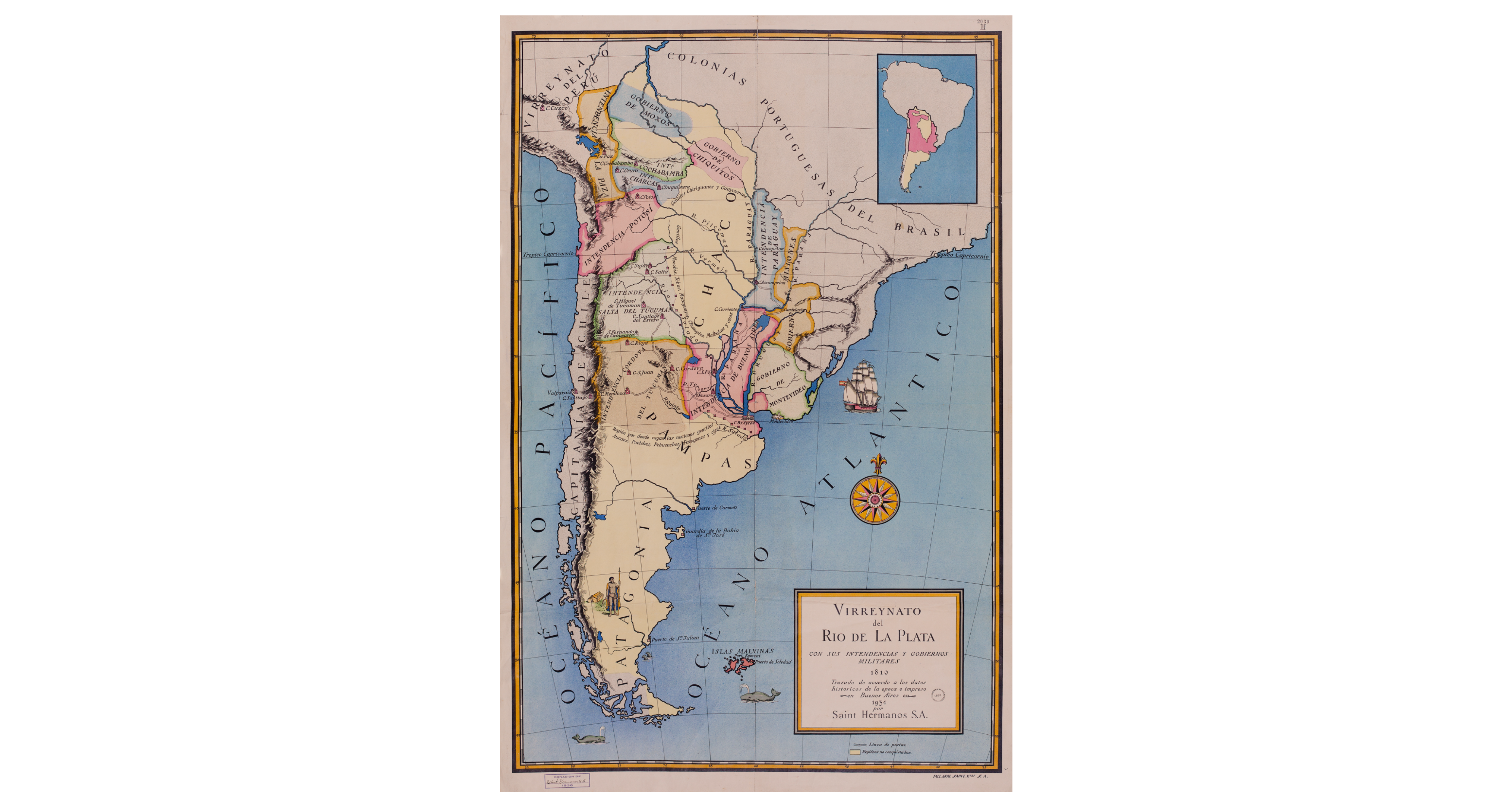
Virreynato del Río de La Plata con sus intendencias y gobiernos militares: 1810
Map 1810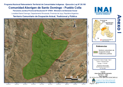
Comunidad Aborigen de Santo Domingo - Pueblo Colla
Map 2020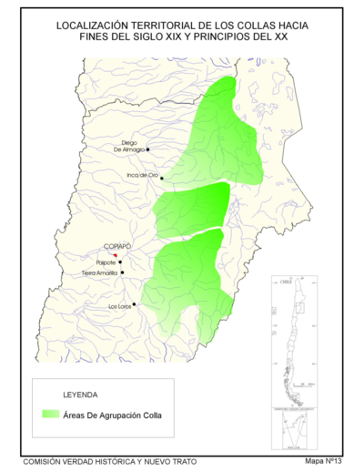
Localización Territorial de los Collas Hacia Fines del Siglo XIX y Principios de Siglo XX."
Map 1800 - 1900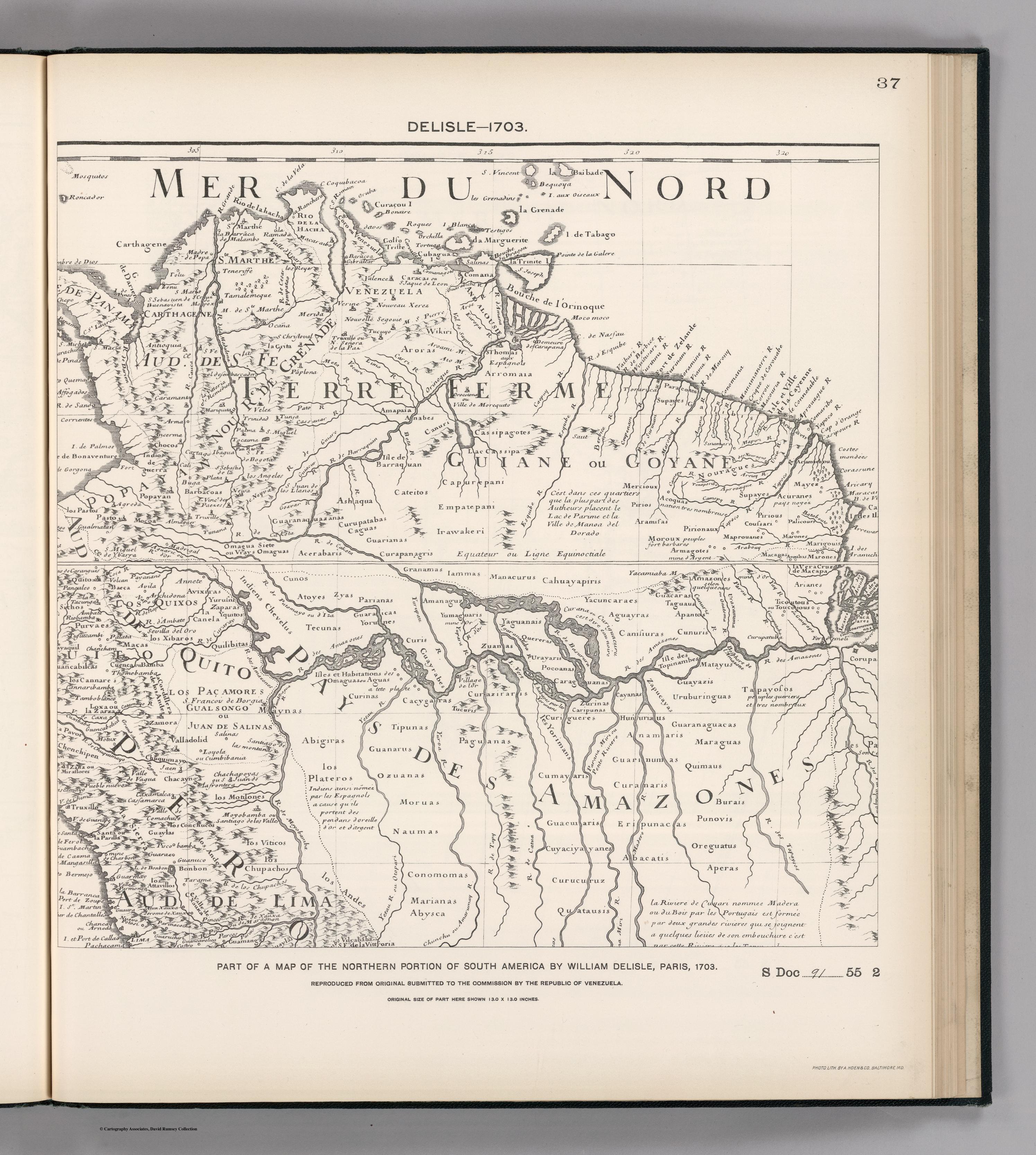
FACSIMILE: NORTHERN PORTION OF SOUTH AMERICA
Map 1703