Peoples
- INDIAN CONIES
Citation
Barnsley, Henry, and Thomas Jefferys. Ruatan or Rattan. Map. London, England: Robert Sayer, 1775. Accessed August 10, 2023. https://gallica.bnf.fr/ark:/12148/btv1b59707979.r=Honduras?rk=300430;4.
LA GRAN CIVDAD I CAVEsa y corte rreal de los doze rreys Yngas, Santiago del Cuzco en medio del rreyno y obispado
Map 1615!["Mapa de lo principal de la Provincia de Nicaragua;su Laguna;y desagüe de ella;por el Río de San Juan;Poblasones [sic] de los enemigos Zambos e yngleses en Puntagorda y Mosquitos;y las costas y parajes;adonde hazen daños y prezas".](https://dnet8ble6lm7w.cloudfront.net/maps/NIC/NIC0009.jpg)
"Mapa de lo principal de la Provincia de Nicaragua;su Laguna;y desagüe de ella;por el Río de San Juan;Poblasones [sic] de los enemigos Zambos e yngleses en Puntagorda y Mosquitos;y las costas y parajes;adonde hazen daños y prezas".
Map 1700 - 1716
"Territorio Indígena Cabécar de Ujarrás"
Map 2010
PROVINCIE DEL PARA E DEL MARAGNONE
Map 1600 - 1699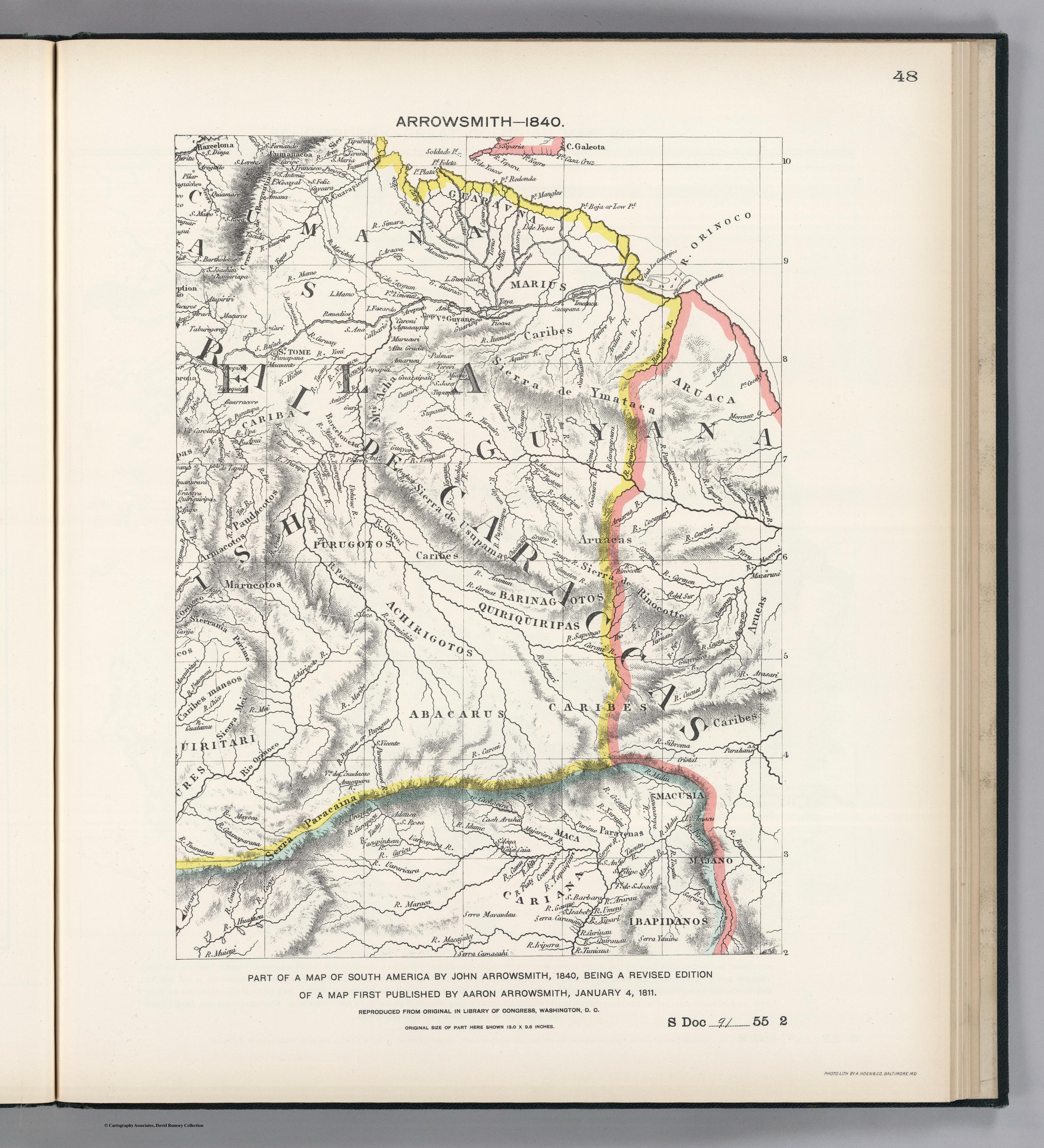
PART OF A MAP OF SOUTH AMERICA BY JOHN ARROWSMITH;1840;BEING A REVISED EDITION OF A MAP FIRST PUBLISHED BY AARON ARROWSMITH
Map 1840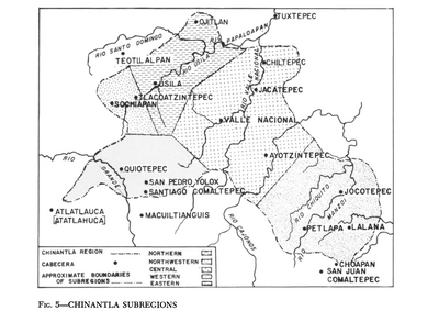
Chinantla Subregions
Map 1969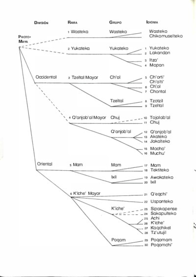
Idiomas Mayas
Map 1970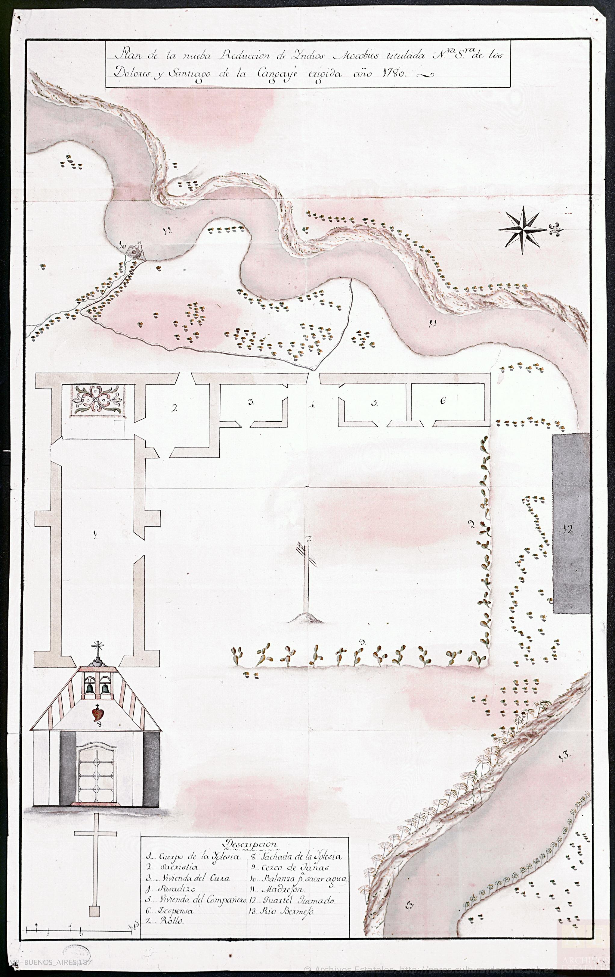
Plano de la nueba Reducción de Yndios Mocobíes,titulada Nuestra Señora de los Dolores y Santiago de la Cangayeé erigida año 178
Map 1780