
Peoples
- TAWAHKA
Citation
Davidson, William V. Ethnic Geography of Honduras, 2001: Tables and Maps based on the National Census. Memphis, TN, 2011. PDF. http://williamvdavidson.com/pdf/Ethnic-Geography-of-Honduras-2001-Davidson.pdf
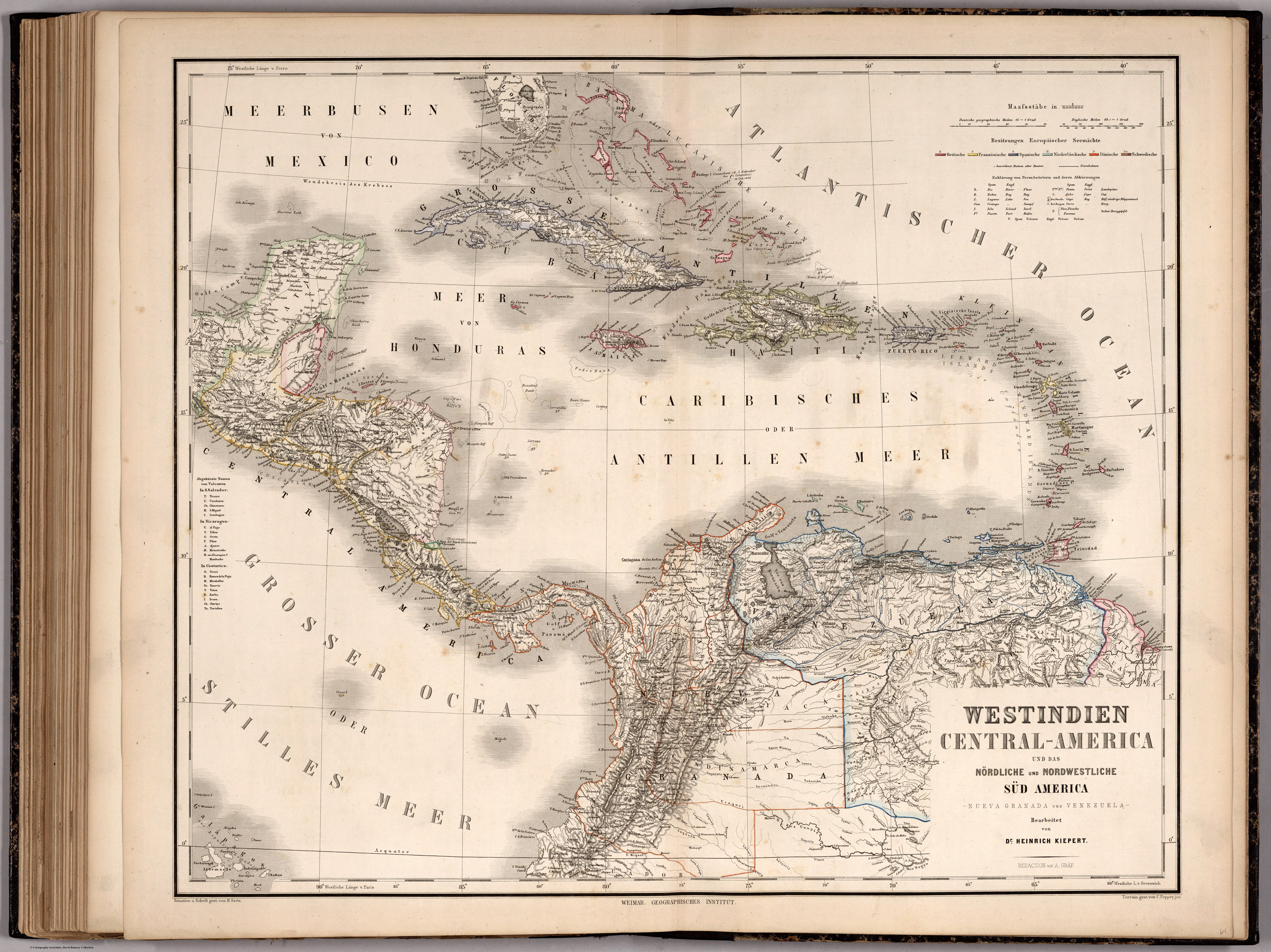
WESTINDIEN CENTRAL-AMERICA UND DAS NOERDLICHE UND NOERDWESTLICHE SUED AMERICA;NUEVA GRANADA UND VENEZUELA
Map 1866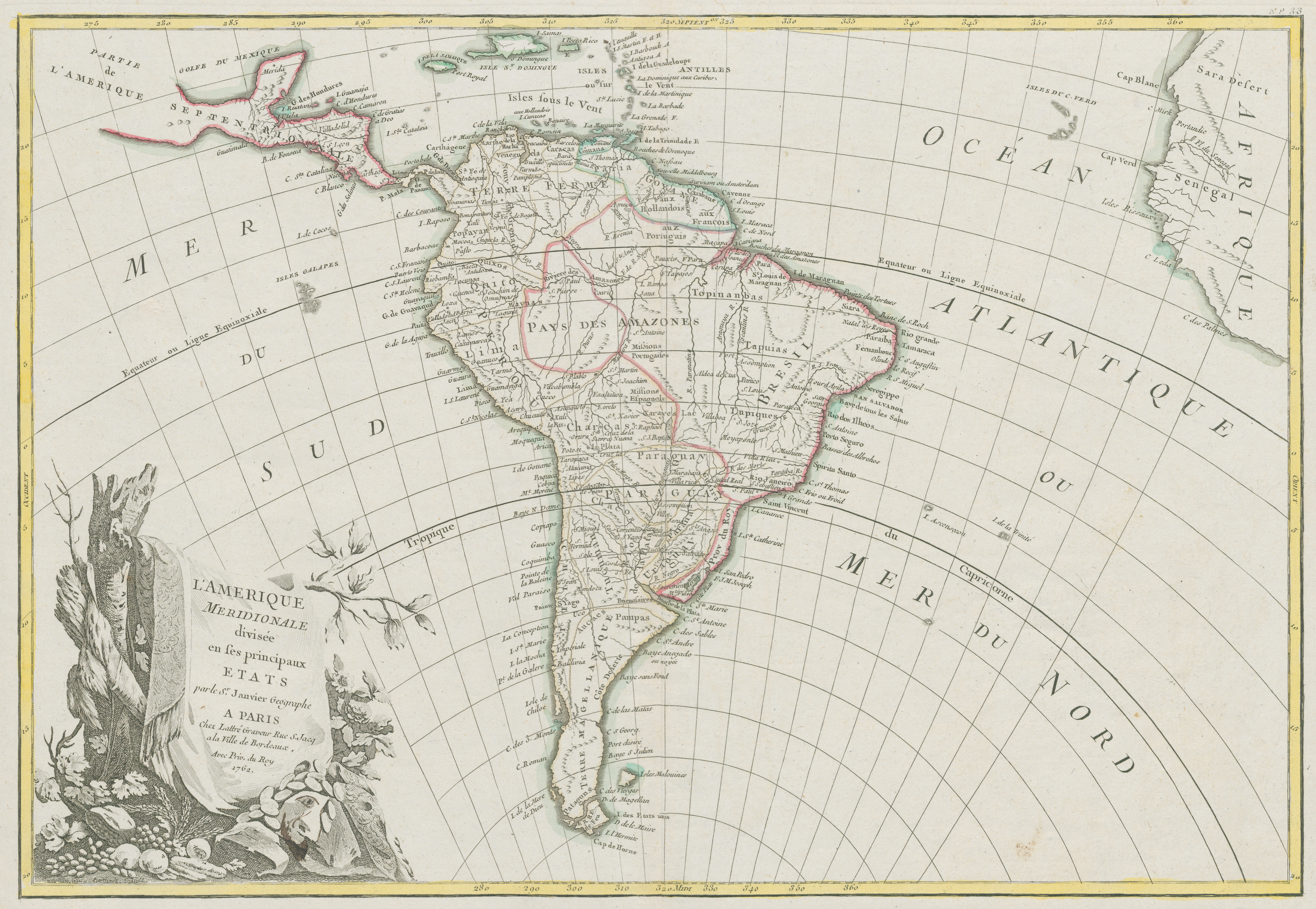
L'Amerique Meridionale divisée en ses principaux Etats
Map 1700 - 1800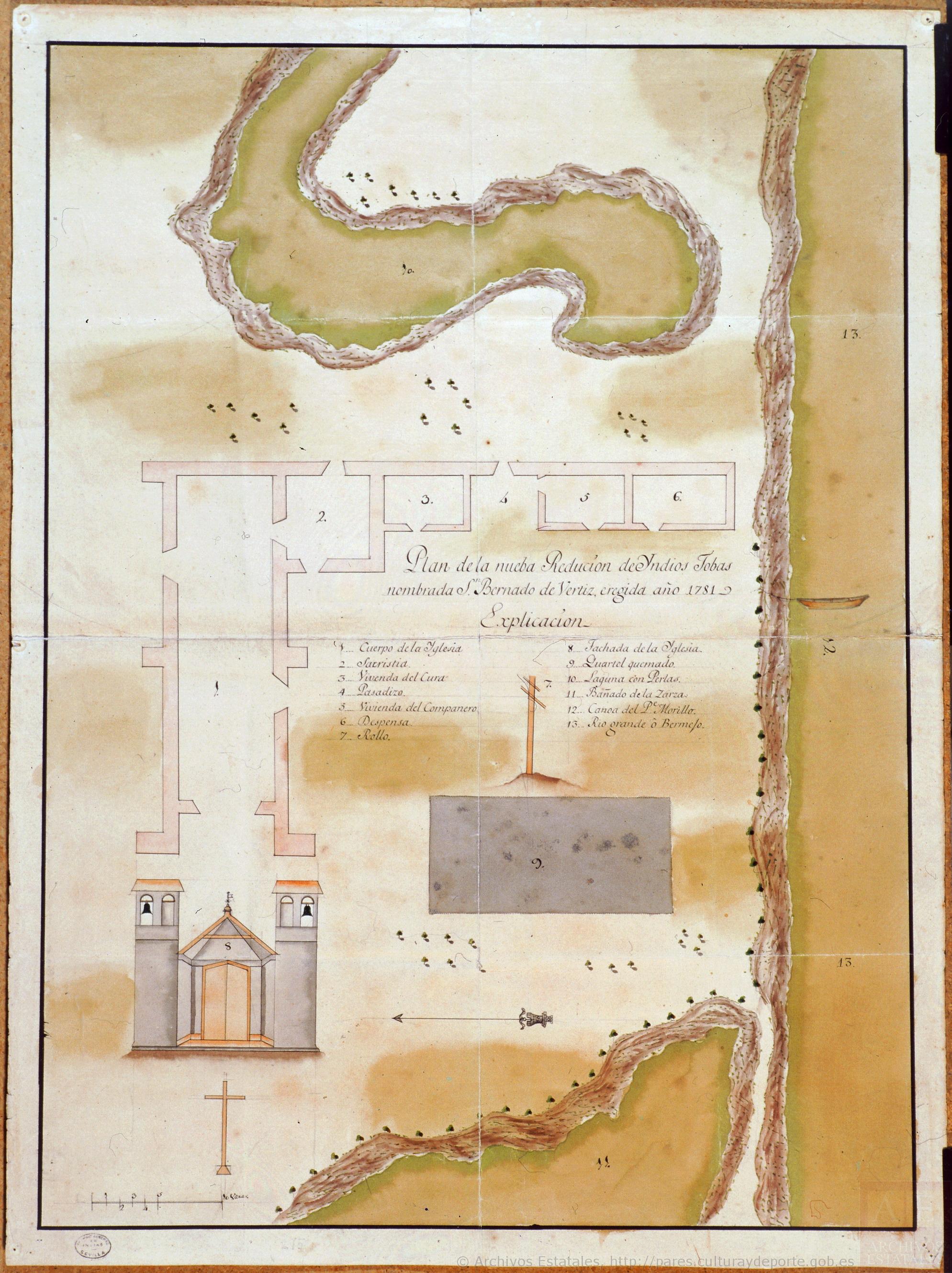
Plano de la nueba redución de Yndios Tobas nombrada San Bernardo de Vertiz
Map 1781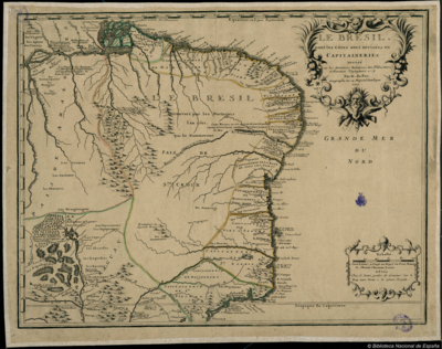
LE BRESIL dont les côtes sont Divisées en Capitainerie
Map 1719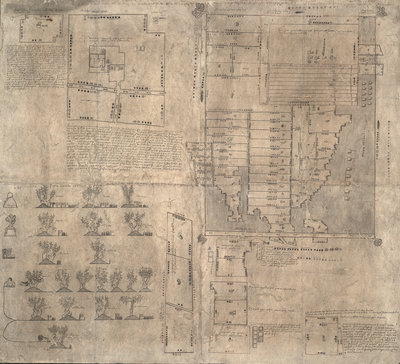
MAPA DE OZTOTÍCPAC
Map 1500 - 1599
The Spanish and Musketor shore and the bay of Honduras and the islands adjacent
Map 1735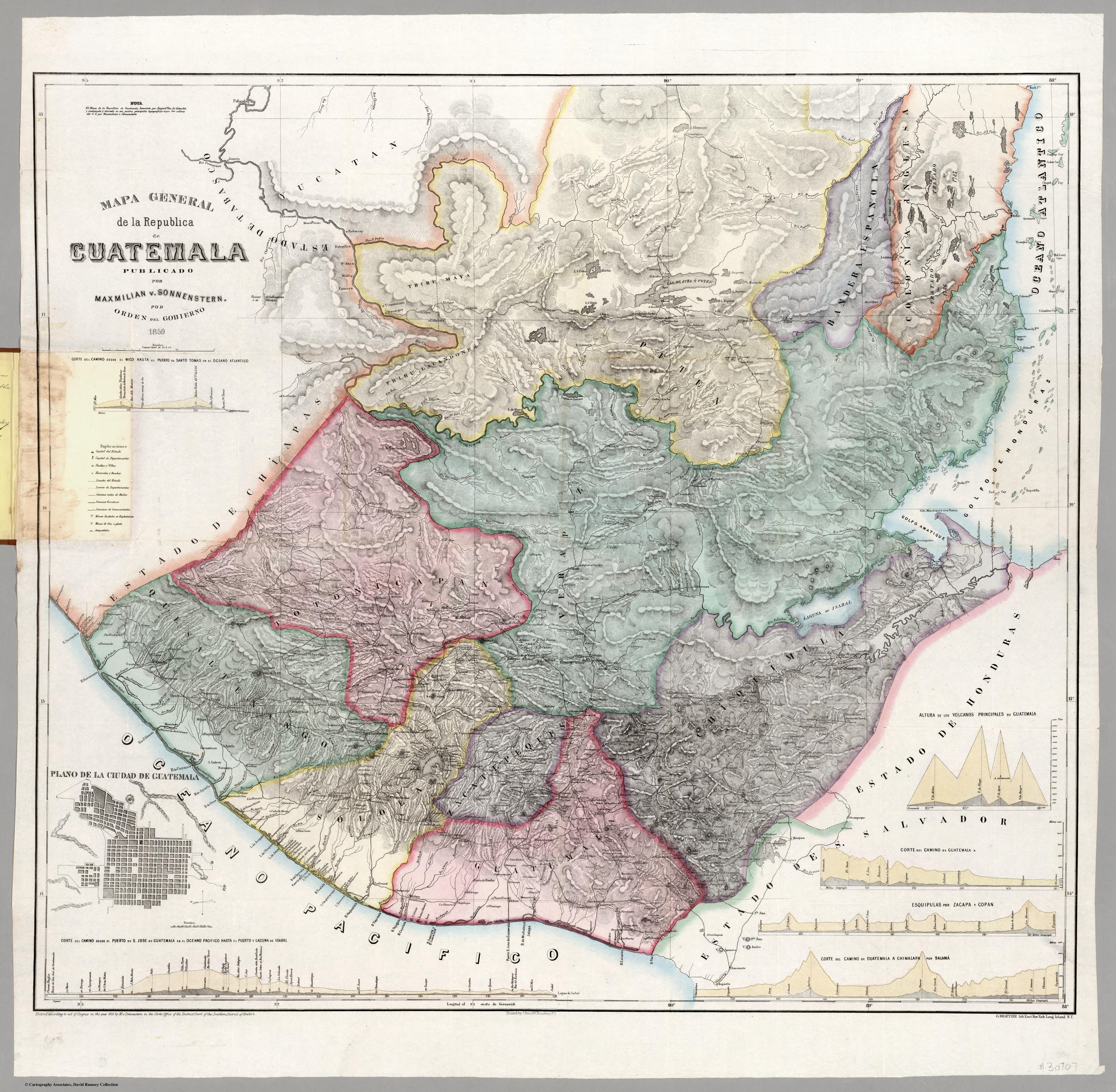
Mapa general de la Republica de Guatemala. Publicado por Maximilian v. Sonnenstern por orden del gobierno, 1859. Printed by J. Rau, 33 Broadway, NY. G Kraetzer lith, East New York Long Island, N.Y. "Entered according to act of Congress in the year 1859 by M.v Sonnenster...New York. (insets) Plando de la Ciudad de Guatemala;and 6 releif profiles.
Map 1800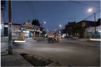
Serie Fatherland / Padre Patria
Artwork