
Peoples
- TOLUPAN
Citation
Davidson, William V. Ethnic Geography of Honduras, 2001: Tables and Maps based on the National Census. Memphis, TN, 2011. PDF. http://williamvdavidson.com/pdf/Ethnic-Geography-of-Honduras-2001-Davidson.pdf

Carte réduite des Côtes de la Guyane comprenant les Bouches de la Rivière des Amazones jusqu'à l'Ile de la Trinité
Map 1817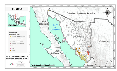
SONORA
Map 2015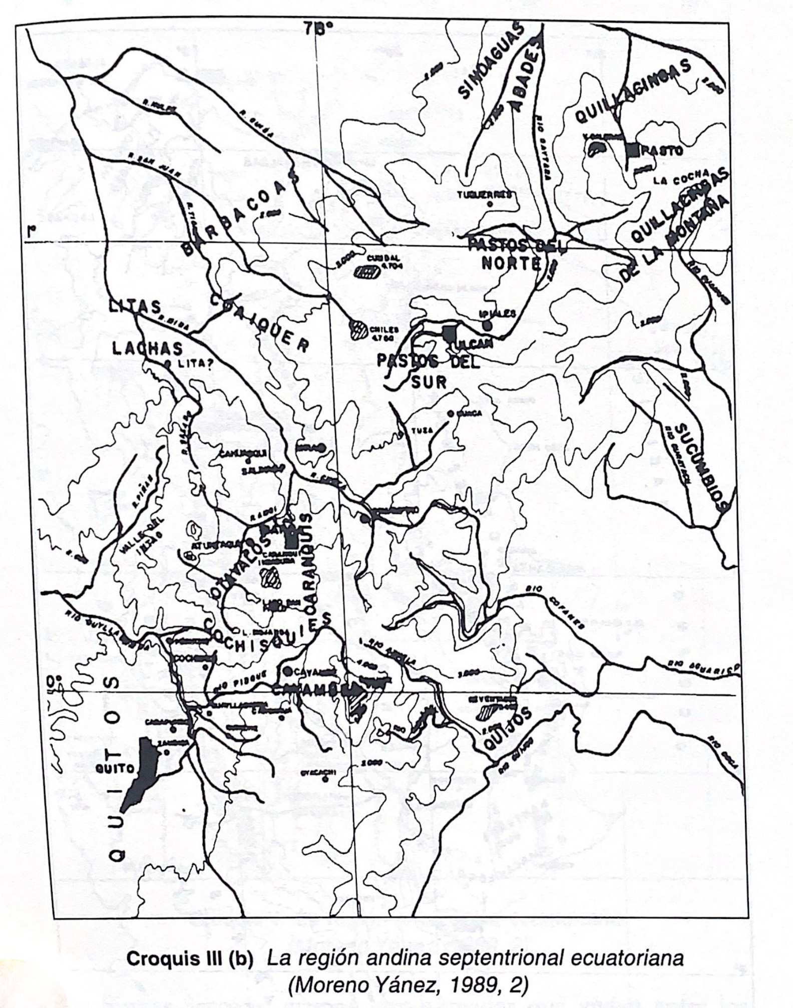
Croquis III. (b) La región andina septentrional ecuatoriana (Moreno Yanez;1989;2)
Map -500 - 1530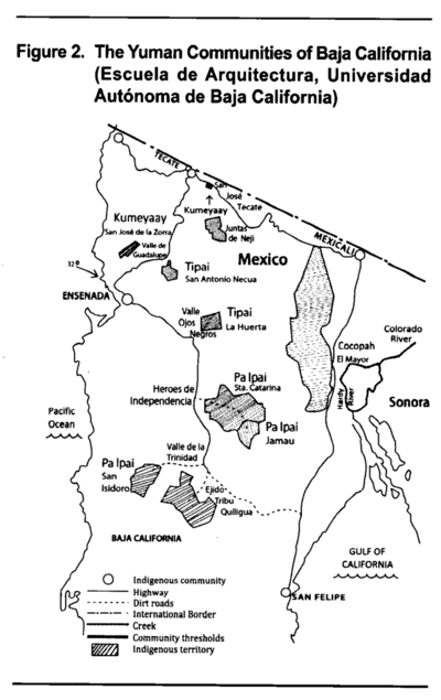
The Yuman Communities of Baja California
Map 2016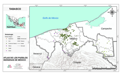
TABASCO
Map 2015
EMBOUCHURE DE LA RIVIERE DES AMAZONES
Map 1727
Nova et exacta delineatio Americae partis australis que est: Brasilia, Caribana, Guiana regnum Novum...
Map 1500 - 1599
EL TERRITORIO AYOREO EN EL MAPA DE PARAGUAY HOY
Map 2010