
Peoples
- TOLUPAN
Citation
Davidson, William V. Ethnic Geography of Honduras, 2001: Tables and Maps based on the National Census. Memphis, TN, 2011. PDF. http://williamvdavidson.com/pdf/Ethnic-Geography-of-Honduras-2001-Davidson.pdf

Posthumous Self-Portrait of Lorenzo Jaramillo
Artwork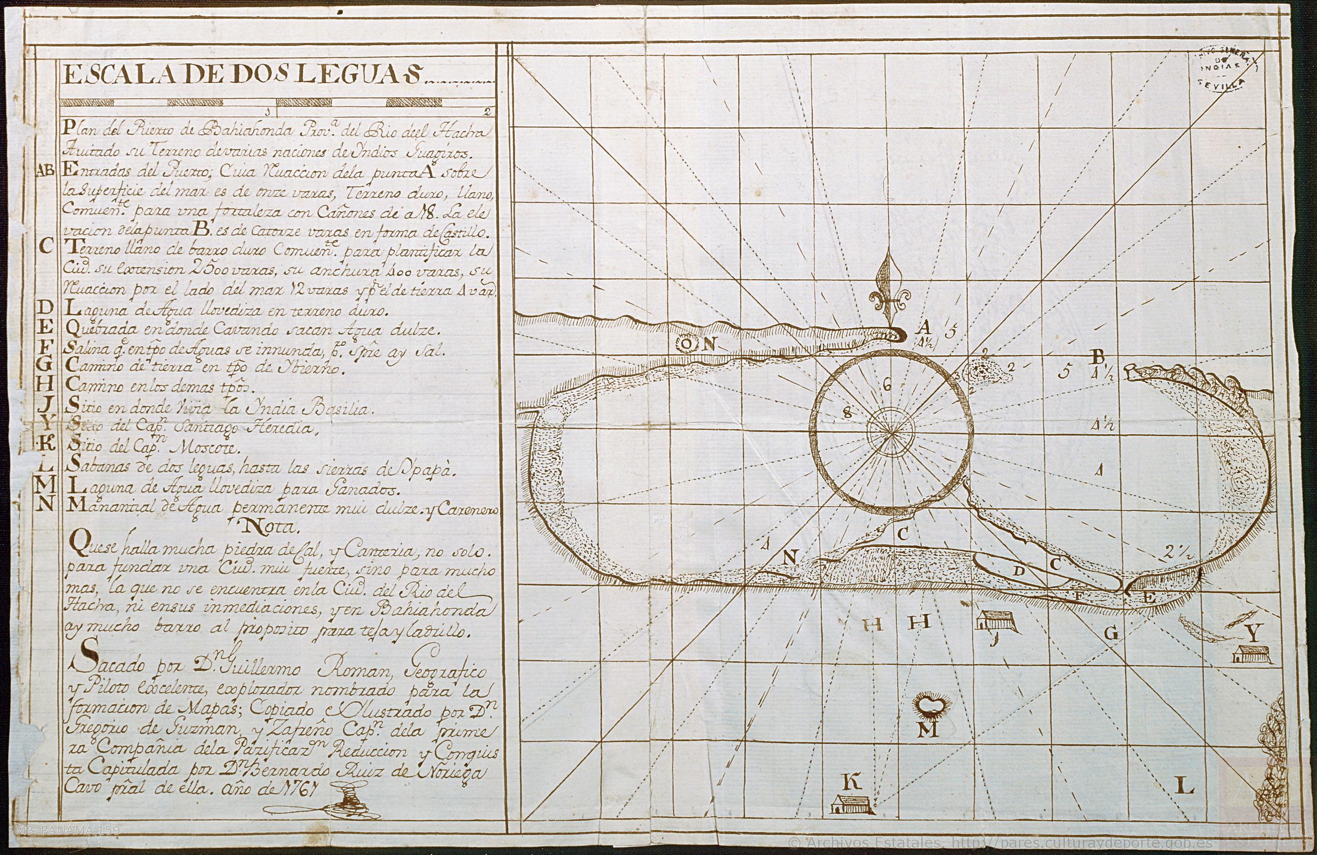
Plan del Puerto de Bahiahonda, Provincia del Rio del Hacha, Auitado su terreno de varias naciones de Yndios Guagiros
Map 1761![La selva está caliente [The Jungle is Hot]](https://dnet8ble6lm7w.cloudfront.net/art_sm/APER028.png)
La selva está caliente [The Jungle is Hot]
Artwork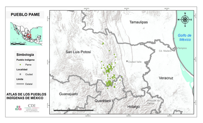
PUEBLO PAME
Map 2020![Pescaria [Fishing]](https://dnet8ble6lm7w.cloudfront.net/art/ABRA017.jpeg)
Pescaria [Fishing]
Artwork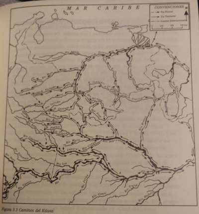
CAMINOS DEL KUWAI
Map 1399
Railroad Map of British Honduras Transportation Department of the United States Department of Commerce. Library of Congress Geography and Map Division. https://hdl.loc.gov/loc.wdl/wdl.11329
Map 1900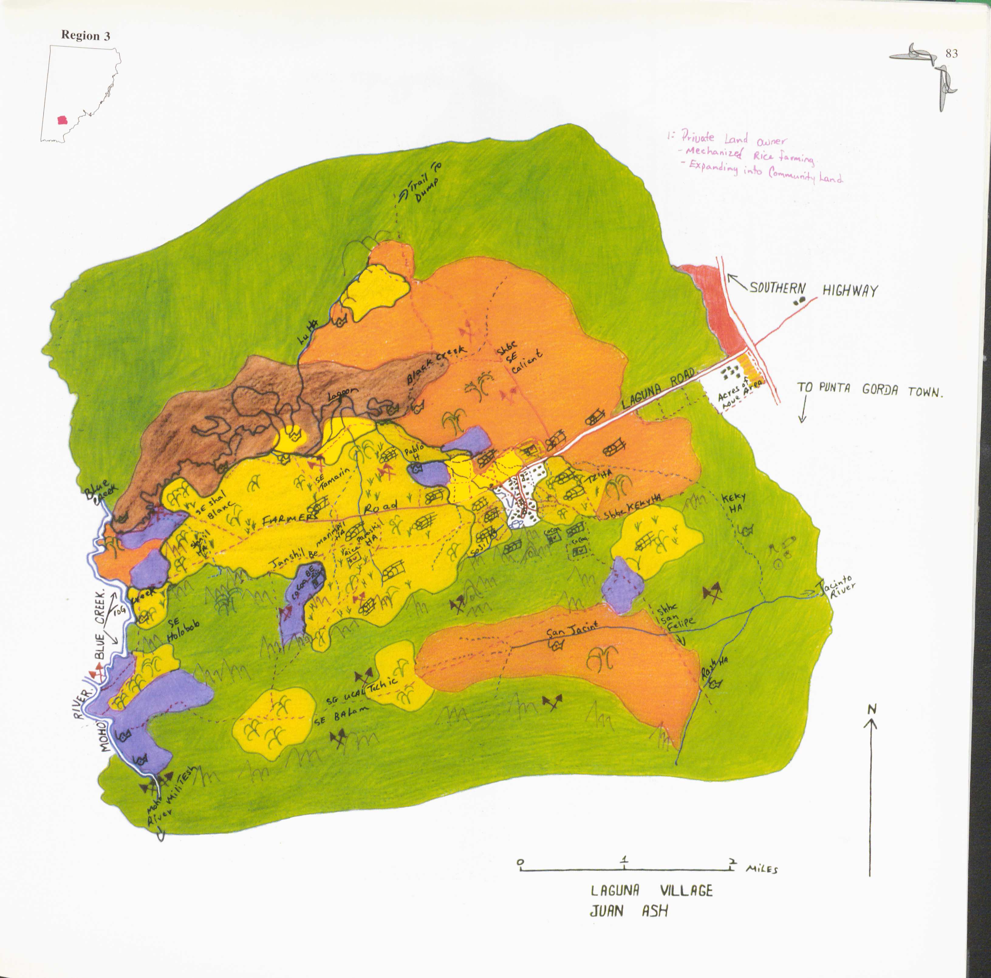
Laguna
Map 1997